Grain Slack
Valley in Yorkshire Ryedale
England
Grain Slack
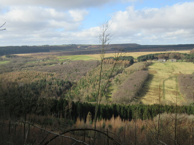
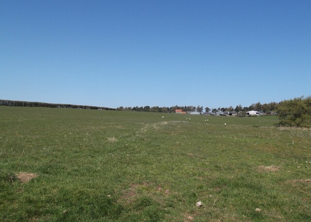
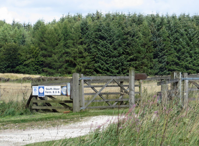
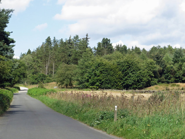
Grain Slack is a picturesque valley located in Yorkshire, England. Situated in the northern part of the country, this valley is renowned for its stunning natural beauty and tranquil atmosphere. The valley is surrounded by rolling hills and lush green fields, creating a serene and idyllic setting.
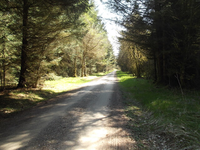
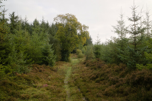
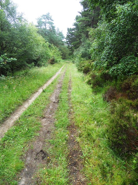
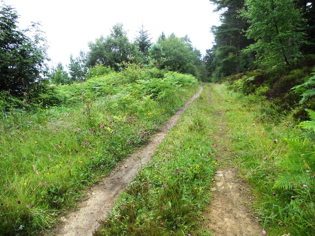
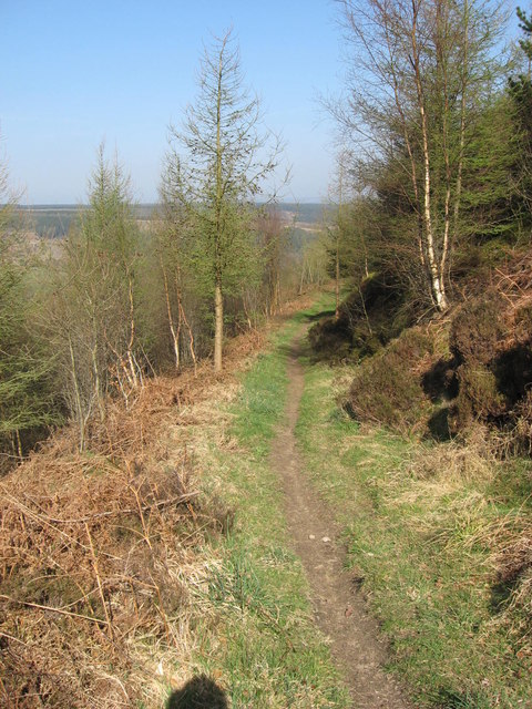
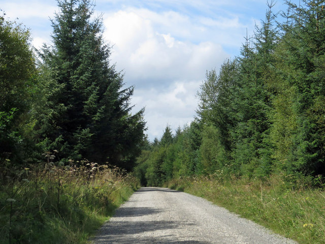
One of the most prominent features of Grain Slack is the River Grain, which meanders through the valley, adding to its charm. The river is flanked by ancient woodlands, providing a habitat for diverse wildlife and making it a popular spot for nature enthusiasts.
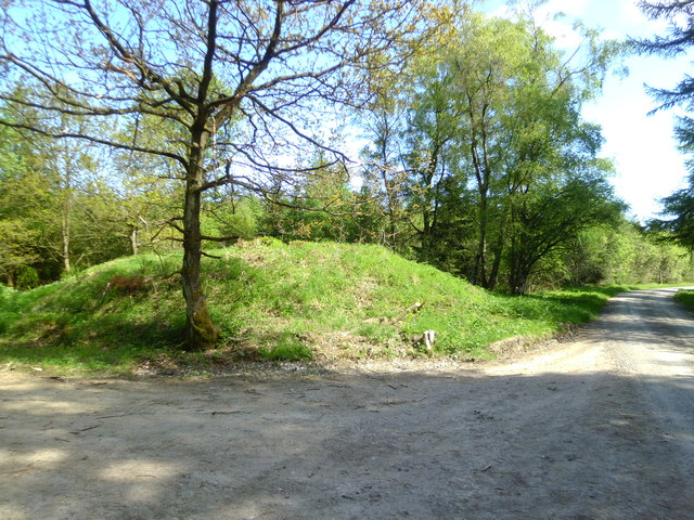
The area is also known for its rich history, with evidence of human settlement dating back thousands of years. Archaeological discoveries in Grain Slack have unearthed artifacts from the Roman and Viking eras, offering a glimpse into the valley's past.
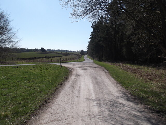
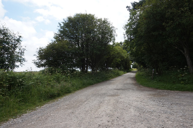
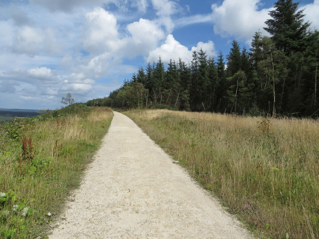
In addition to its natural and historical significance, Grain Slack offers various recreational opportunities for visitors. The valley is a haven for hikers and walkers, with numerous trails and pathways crisscrossing the landscape. These trails lead to breathtaking viewpoints, allowing visitors to soak in the panoramic vistas of the surrounding countryside.
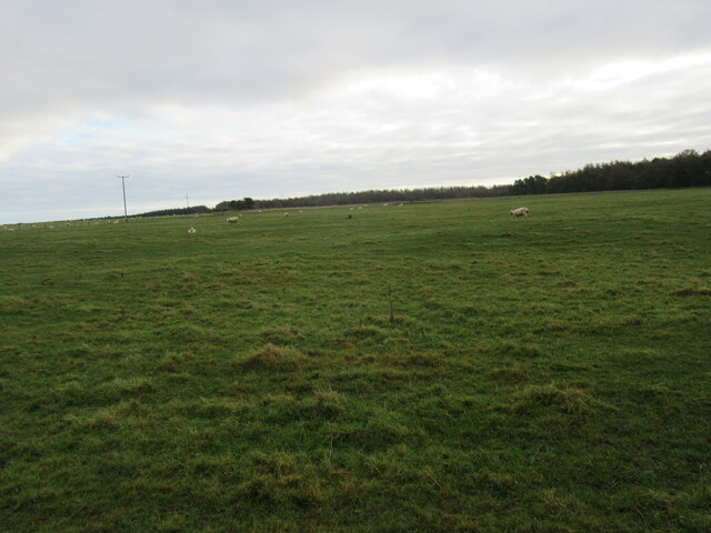
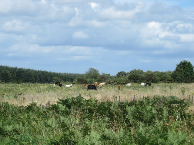
Grain Slack is also home to a thriving farming community, with traditional agricultural practices still being carried out in the area. Cattle and sheep graze in the fields, adding to the bucolic charm of the valley.
Overall, Grain Slack is a hidden gem in Yorkshire, offering a blend of natural beauty, historical significance, and rural charm. It provides a peaceful retreat for those seeking to escape the hustle and bustle of modern life and immerse themselves in the tranquility of the English countryside.
If you have any feedback on the listing, please let us know in the comments section below.
Grain Slack Images
Images are sourced within 2km of 54.303217/-0.63612771 or Grid Reference SE8890. Thanks to Geograph Open Source API. All images are credited.


Grain Slack is located at Grid Ref: SE8890 (Lat: 54.303217, Lng: -0.63612771)
Division: North Riding
Administrative County: North Yorkshire
District: Ryedale
Police Authority: North Yorkshire
What 3 Words
///similar.crystal.spurring. Near Thornton Dale, North Yorkshire
Nearby Locations
Related Wikis

Dalby Forest
Dalby Forest is a forest located on the southern slopes of the North York Moors National Park in North Yorkshire, England. It is maintained by Forestry...

Blakey Topping standing stones
Blakey Topping standing stones is a small group of standing stones near the Hole of Horcum in the North York Moors. It sits at the foot of Blakey Topping...

14–18 NOW
14–18 NOW was the UK's arts programme for the First World War centenary. Working with arts and heritage partners all across the UK, the programme commissioned...

Darncombe-cum-Langdale End
Darncombe-cum-Langdale End is a civil parish in the Scarborough district of North Yorkshire, England. According to the 2001 UK census, Darncombe-cum-Langdale...

Lockton
Lockton is a small village and civil parish in North Yorkshire, England. It is situated in the North York Moors about 4 miles (6.4 km) north-east of Pickering...

Langdale Forest
Langdale Forest is an area of primarily coniferous woodland at the southern end of the North York Moors National Park, in North Yorkshire, England. The...

Hole of Horcum
The Hole of Horcum is a section of the valley of the Levisham Beck, upstream of Levisham and Lockton, in the Tabular Hills of the North York Moors National...

Levisham
Levisham is a small village and civil parish in North Yorkshire, England, located within the North York Moors National Park about 5 miles (8 km) north...
Nearby Amenities
Located within 500m of 54.303217,-0.63612771Have you been to Grain Slack?
Leave your review of Grain Slack below (or comments, questions and feedback).