Hyde Hill

Hill, Mountain in Surrey Waverley

England

Hyde Hill

Devil's Punch Bowl
Devil's Punch Bowl Credit: Oscar Taylor

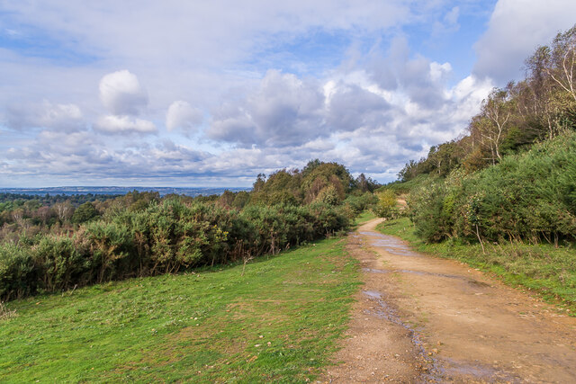
Hyde Hill is a prominent hill located in Surrey, England. It is situated in the southern part of the county, near the village of Betchworth. Rising to an elevation of 229 meters (751 feet), it is considered to be one of the highest points in Surrey and offers breathtaking panoramic views of the surrounding countryside.

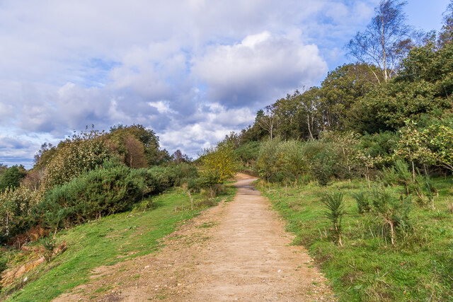
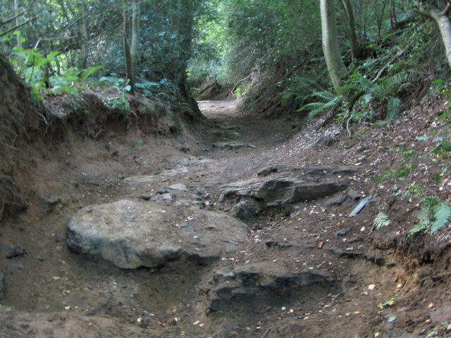
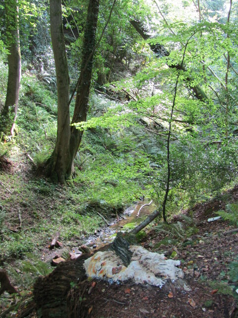
The hill is characterized by its gently sloping sides and is covered with a mixture of grassland and woodland. It is a popular destination for hikers, nature enthusiasts, and photographers, who are drawn to its natural beauty and tranquil ambiance. The area is well-maintained and features several well-marked trails, allowing visitors to explore the hill at their own pace.

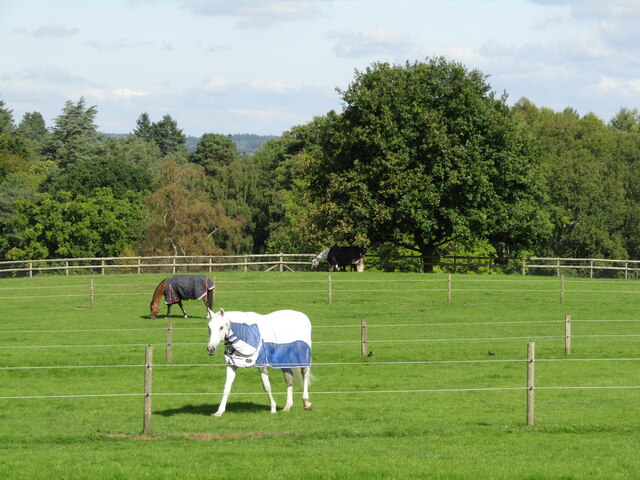
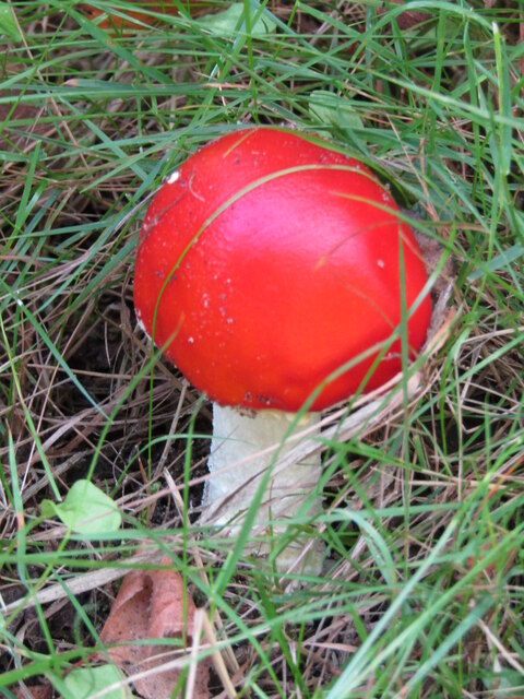
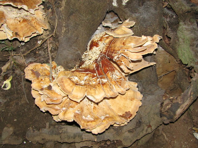
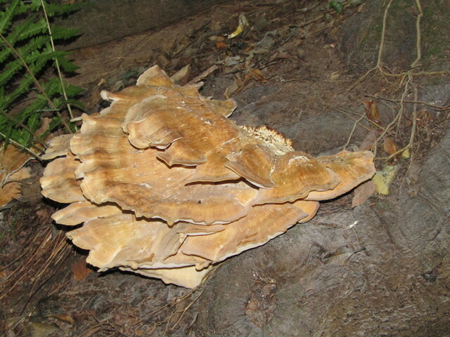
Hyde Hill is known for its diverse wildlife and is home to a variety of plant and animal species. It provides a habitat for numerous bird species, including buzzards, kestrels, and owls. Additionally, the hill is abundant in wildflowers during the warmer months, attracting butterflies and other insects.

The hill has historical significance as well. It is believed to have been used as a meeting place during the Iron Age, and remnants of ancient settlements have been discovered in the vicinity. Today, the hill serves as a popular spot for picnics and recreational activities, with many visitors enjoying the stunning views and peaceful surroundings.

Overall, Hyde Hill in Surrey is a picturesque and serene destination that offers a perfect blend of natural beauty and historical charm. Whether it's for a leisurely hike or simply to admire the stunning vistas, Hyde Hill is a must-visit for anyone seeking a tranquil escape in the heart of Surrey.

If you have any feedback on the listing, please let us know in the comments section below.
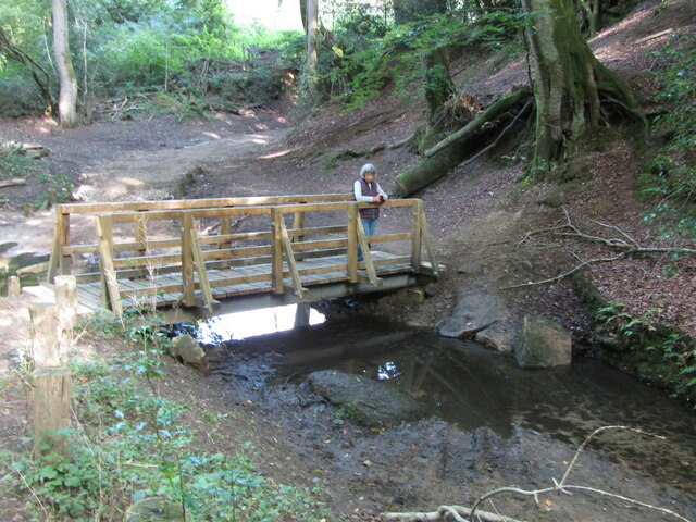
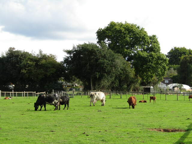
Hyde Hill Images

Images are sourced within 2km of 51.132201/-0.73938215 or Grid Reference SU8837. Thanks to Geograph Open Source API. All images are credited.

Devil's Punch Bowl
Devil's Punch Bowl
Old A3, Devil's Punch Bowl Part of the route of the former A3 above the Devil's Punch Bowl, restored to nature following the opening of the Hindhead Tunnel in 2011.
Old A3, Devil's Punch Bowl
Part of the route of the former A3 above the Devil's Punch Bowl, restored to nature following the opening of the Hindhead Tunnel in 2011.
Thursley - Paddocks Horsieculture is common in the grassy fields south of Thursley.
Thursley - Paddocks
Horsieculture is common in the grassy fields south of Thursley.
Devil's Punch Bowl - Toadstool Red, waxy-looking toadstool, ca 3 inches high, in the grass beside a footpath.
Devil's Punch Bowl - Toadstool
Red, waxy-looking toadstool, ca 3 inches high, in the grass beside a footpath.
Thursley - Fungus Large bracket fungus ca 1 foot from end to end in woodland close to Ridgeway Farm.
Thursley - Fungus
Large bracket fungus ca 1 foot from end to end in woodland close to Ridgeway Farm.
Thursley - Fungus Large bracket fungus ca 1 foot from end to end in woodland close to Ridgeway Farm.
Thursley - Fungus
Large bracket fungus ca 1 foot from end to end in woodland close to Ridgeway Farm.
Thursley - Byway Ancient and deeply incised trackway with exposed flat rocks in woodland close to Ridgeway Farm.
Thursley - Byway
Ancient and deeply incised trackway with exposed flat rocks in woodland close to Ridgeway Farm.
Thursley - Incised Valley In deciduous woodland south of Vanhurst Copse.
Note the large white splodge of white fungus in the foreground - ca 2 feet from end to end.
Thursley - Incised Valley
In deciduous woodland south of Vanhurst Copse. Note the large white splodge of white fungus in the foreground - ca 2 feet from end to end.
Thursley - Footbridge In deciduous woodland south of Vanhurst Copse. The bridge parallels an old ford.
Thursley - Footbridge
In deciduous woodland south of Vanhurst Copse. The bridge parallels an old ford.
Thursley - Reflections Bright, vivid reflections on a sunny patch of stream below a footbridge in deciduous woodland.
Thursley - Reflections
Bright, vivid reflections on a sunny patch of stream below a footbridge in deciduous woodland.
Thursley - Footbridge In deciduous woodland south of Vanhurst Copse. The bridge parallels an old ford where the byway crosses the stream.
Thursley - Footbridge
In deciduous woodland south of Vanhurst Copse. The bridge parallels an old ford where the byway crosses the stream.
Thursley - Dairy Cattle Grazing cows by Hedge Farm - a change from surrounding fields which mainly have horses.
Thursley - Dairy Cattle
Grazing cows by Hedge Farm - a change from surrounding fields which mainly have horses.
Thursley - Toadstool Largish fungus in the undergrowth beside a footpath.
Thursley - Toadstool
Largish fungus in the undergrowth beside a footpath.
Thursley - Toadstool Largish fungus in the undergrowth beside a footpath.
Thursley - Toadstool
Largish fungus in the undergrowth beside a footpath.
Hale House Lane, near Farnham Hale House Lane is a minor road passing through woodland in Surrey.
Hale House Lane, near Farnham
Hale House Lane is a minor road passing through woodland in Surrey.
Road junction near Farnham A junction of minor roads in Surrey countryside.
Road junction near Farnham
A junction of minor roads in Surrey countryside.
Rural road junction near Farnham A junction of minor roads in the Surrey countryside.
Rural road junction near Farnham
A junction of minor roads in the Surrey countryside.
Show me another place!

Hyde Hill is located at Grid Ref: SU8837 (Lat: 51.132201, Lng: -0.73938215)

Administrative County: Surrey

District: Waverley

Police Authority: Surrey

What 3 Words

///mandolin.hotel.divorcing. Near Hindhead, Surrey

Nearby Locations

Gravel Hanger Hyde Hill

Related Wikis

Stockstone Quarry

Stockstone Quarry is a 3.9-hectare (9.6-acre) geological Site of Special Scientific Interest south of Farnham in Surrey. It is a Geological Conservation...

Beacon Hill (Hindhead, Surrey)

Beacon Hill, while ecumenically and administratively part of Hindhead, Surrey, is a discrete settlement with its own history, amenities and character....

Bron-y-de

Bron-y-de (transl. 'Breast of the south') was a house and surrounding farm in the village of Churt in the southern English county of Surrey. The main house...

Hindhead

Hindhead is a village in the Waverley district of the ceremonial county of Surrey, England. It is the highest village in the county and its buildings are...

Nearby Amenities

Located within 500m of 51.132201,-0.73938215
Power: tower
Ref: HAM 7
Source: sas
Source Ref: survey
Lat/Long: 51.1299889/-0.7335522
Barrier: kissing_gate
Source: survey
Lat/Long: 51.1289847/-0.7351035
Power: tower
Source: sas
Lat/Long: 51.133338/-0.7333353
Power: tower
Source: sas
Lat/Long: 51.1324525/-0.7334179
Power: tower
Ref: HAM 8
Source: sas
Source Ref: survey
Lat/Long: 51.1309928/-0.7335036
Gravel Hanger
Place: locality
Source: OS 1:25k
Lat/Long: 51.1283367/-0.7420602
Turning Circle
Lat/Long: 51.1308739/-0.7456179
The data included in this document is from www.openstreetmap.org. The data is made available under ODbL.

Have you been to Hyde Hill?

Leave your review of Hyde Hill below (or comments, questions and feedback).