Bee Hill
Hill, Mountain in Rutland
England
Bee Hill

Bee Hill is a prominent hill located in the county of Rutland, England. It is situated near the village of Manton, just south of Rutland Water, the largest man-made lake in the United Kingdom. Rising to an elevation of approximately 120 meters (394 feet), Bee Hill offers stunning panoramic views of the surrounding countryside and the picturesque Rutland Water.
The hill is part of the wider Rutland Heights, a range of hills that stretches across Rutland and neighboring Leicestershire. Bee Hill is known for its distinctive shape, with a gently sloping eastern side and a steeper western face. The hill is primarily composed of limestone, a characteristic feature of the Rutland area.
Bee Hill is a popular destination for outdoor enthusiasts and nature lovers. It is surrounded by beautiful walking trails and footpaths that allow visitors to explore the area's rich flora and fauna. The hill is particularly renowned for its diverse bird population, with various species of birds of prey frequently spotted soaring above the hillside.
The summit of Bee Hill is crowned with a small copse of trees, providing a tranquil spot for visitors to rest and take in the breathtaking views. On clear days, it is possible to see as far as the eye can reach, with the rolling hills of Rutland and Leicestershire stretching out in all directions.
Overall, Bee Hill is a natural gem within the Rutland landscape, offering a peaceful retreat for those seeking to immerse themselves in the beauty of the English countryside.
If you have any feedback on the listing, please let us know in the comments section below.
Bee Hill Images
Images are sourced within 2km of 52.560582/-0.6978069 or Grid Reference SP8896. Thanks to Geograph Open Source API. All images are credited.


Bee Hill is located at Grid Ref: SP8896 (Lat: 52.560582, Lng: -0.6978069)
Unitary Authority: Rutland
Police Authority: Leicestershire
What 3 Words
///meanings.dusty.sized. Near Seaton, Rutland
Nearby Locations
Related Wikis
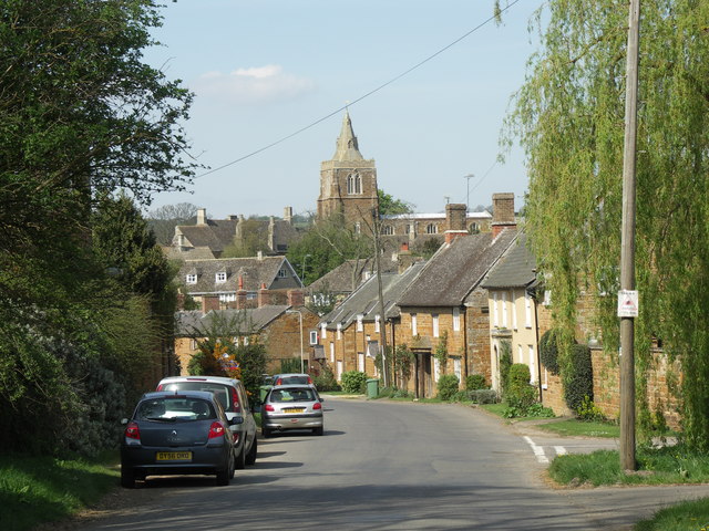
Lyddington
Lyddington is a village in the county of Rutland in the East Midlands of England. The population of the civil parish was 397 at the 2001 census, and had...

St Andrew's Church, Lyddington
St Andrew's Church is a church in Lyddington, Rutland. It is a Grade I listed building. == History == The church is situated next to Lyddington Bede House...
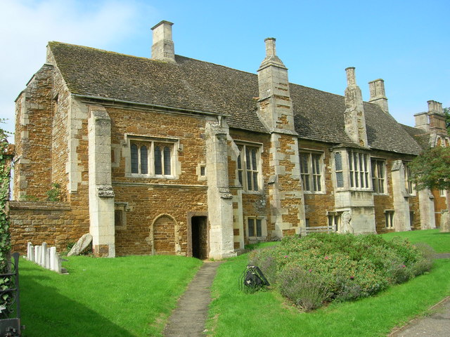
Lyddington Bede House
Lyddington Bede House (or Lyddington Bedehouse) is a historic house in Rutland, England, owned and opened to the public by English Heritage. The existing...
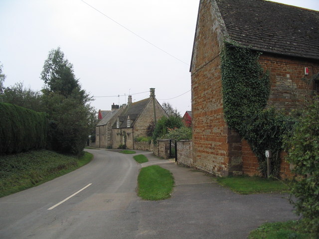
Thorpe by Water
Thorpe by Water is a village and civil parish in the county of Rutland in the East Midlands of England. The population at the 2001 Census was 56. At the...
Nearby Amenities
Located within 500m of 52.560582,-0.6978069Have you been to Bee Hill?
Leave your review of Bee Hill below (or comments, questions and feedback).