Mill Hill

Hill, Mountain in Lincolnshire South Kesteven

England

Mill Hill

Kelham Road, Great Gonerby From Gonerby Road
Kelham Road, Great Gonerby Credit: David Howard

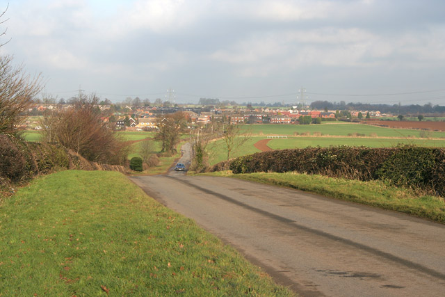
Mill Hill is a small hill located in Lincolnshire, England. Situated in the rural countryside, it offers panoramic views of the surrounding area. Although often referred to as a hill, it is more accurately described as a gentle slope, as it does not reach a significant elevation.

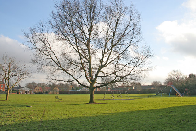
The hill is covered in lush green grass and is home to a variety of plant and animal species. It serves as a popular spot for hikers and nature enthusiasts, who can enjoy peaceful walks and observe the wildlife in its natural habitat. The hill is also a great place for picnics, as it provides ample space and a serene atmosphere.

Mill Hill is steeped in history, with traces of ancient settlements found in the area. Archaeological excavations have revealed the remains of a Roman villa, which suggests that the hill has been inhabited for centuries. This historical significance further adds to the charm of the location.

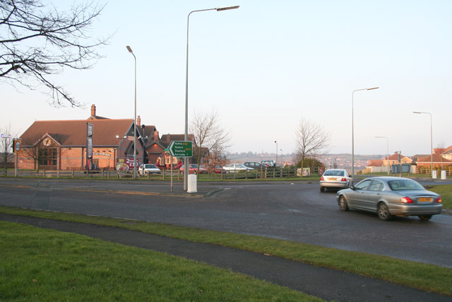
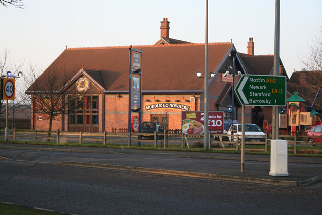
The hill is easily accessible by car or on foot, with nearby parking facilities available for visitors. It is located in close proximity to the village of Mill Hill, which provides amenities such as cafes, shops, and accommodations for those wishing to stay in the area.

Overall, Mill Hill in Lincolnshire offers a tranquil escape from urban life, where visitors can immerse themselves in nature and enjoy the beauty of the English countryside.

If you have any feedback on the listing, please let us know in the comments section below.
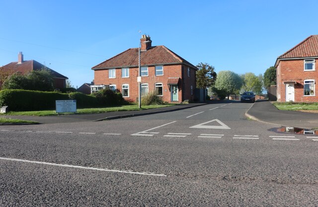
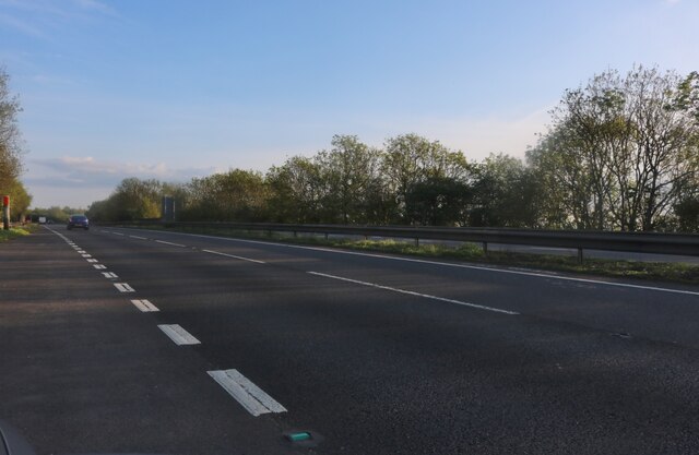
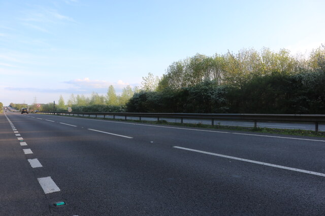
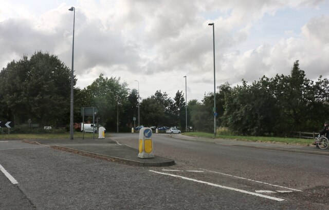
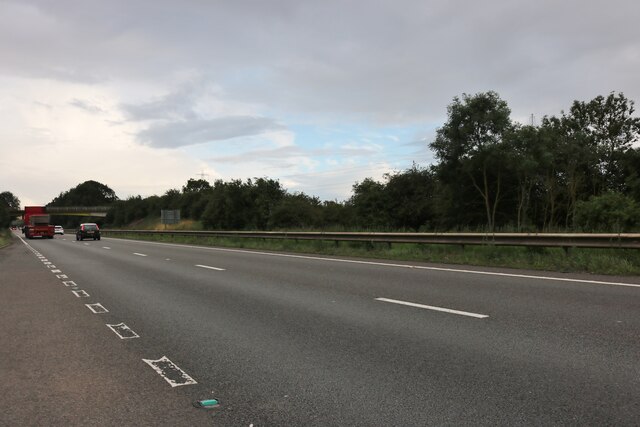
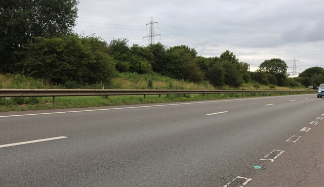
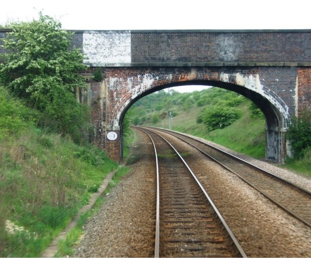
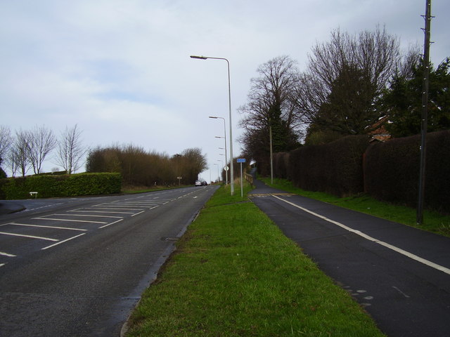
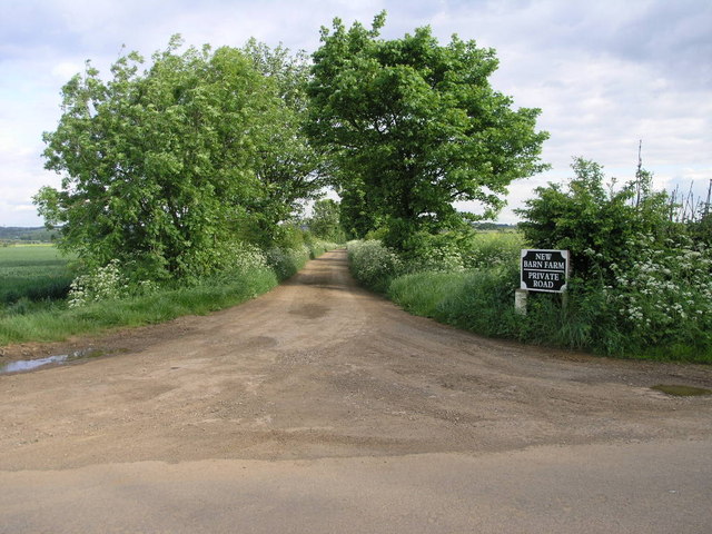
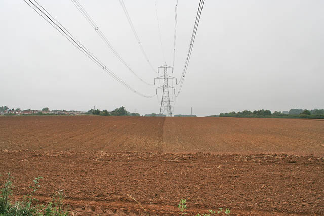
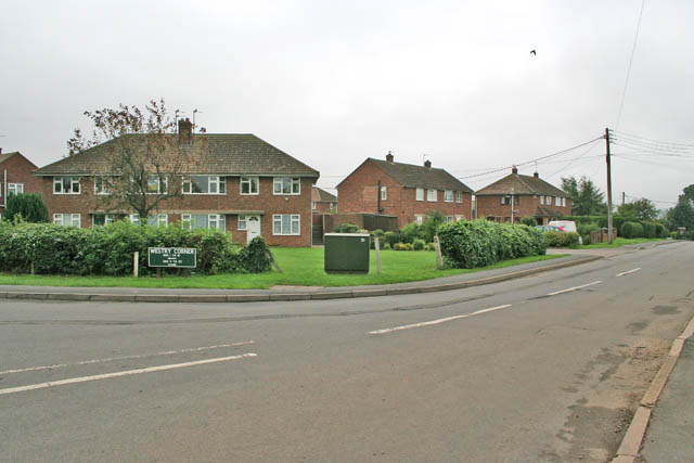
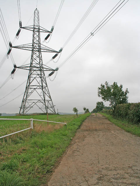
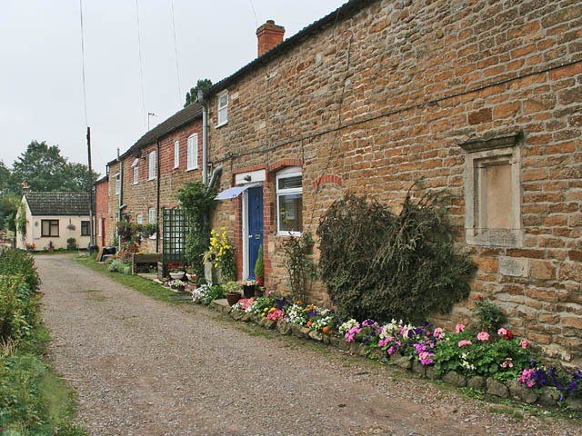
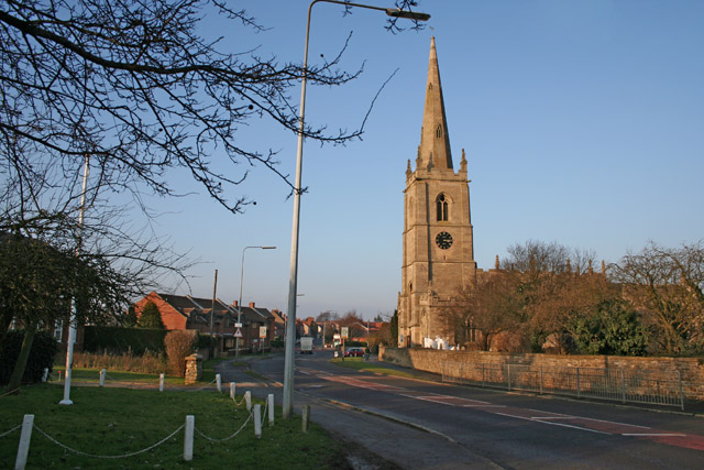
Mill Hill Images

Images are sourced within 2km of 52.92195/-0.68711085 or Grid Reference SK8836. Thanks to Geograph Open Source API. All images are credited.

Kelham Road, Great Gonerby From Gonerby Road
Kelham Road, Great Gonerby
From Gonerby Road
The A1, Great Gonerby
Roundabout on Barrowby Road, Grantham
The A1, Grantham
The A1, Grantham
The A1, Grantham
The A1, Grantham
Bridge No3 After the rail line leaves Grantham there is a choice of route at Nottingham Junction. This is the first bridge if the west bound route is taken. It is quite possible that it forms the physical western edge to square SK9037. It carries no metalled surface, just a rough path.
Bridge No3
After the rail line leaves Grantham there is a choice of route at Nottingham Junction. This is the first bridge if the west bound route is taken. It is quite possible that it forms the physical western edge to square SK9037. It carries no metalled surface, just a rough path.
Take the high road The A1174 runs uphill towards Great Gonerby, this is one of the few inclines in the area.
Take the high road
The A1174 runs uphill towards Great Gonerby, this is one of the few inclines in the area.
Countryside near Barrowby This country road links the north of Harlaxton <a href="https://www.geograph.org.uk/gridref/SK8833">SK8833</a> to Barrowby at Westry Corner in <a href="https://www.geograph.org.uk/gridref/SK8835">SK8835</a>
Countryside near Barrowby
This country road links the north of Harlaxton SK8833 to Barrowby at Westry Corner in SK8835
Barrowby, near Grantham Lincolnshire The large village green has a small playground and plenty of benches. It crosses the boundary of two squares, the houses on the far side are in <a href="https://www.geograph.org.uk/gridref/SK8836">SK8836</a>. The grid line runs a few yards beyond the tree. Although very close to the A1 trunk road, Barrowby has an aura of calm.
Barrowby, near Grantham Lincolnshire
The large village green has a small playground and plenty of benches. It crosses the boundary of two squares, the houses on the far side are in SK8836. The grid line runs a few yards beyond the tree. Although very close to the A1 trunk road, Barrowby has an aura of calm.
High Street, Great Gonerby This village is in danger of being gobbled up by Grantham. The Church is dedicated to St Sebastian.
High Street, Great Gonerby
This village is in danger of being gobbled up by Grantham. The Church is dedicated to St Sebastian.
Barrowby Road, Grantham A large roundabout on the Barrowby Road gives access to the Barrowby Gate estate to the south and  new housing (just into <a href="https://www.geograph.org.uk/gridref/SK9036">SK9036</a>) to the north east. The large pub on the opposite side of the road is the first major building you come across entering Grantham from the A52/A1 junction. The village on the top of the hill in the distance is Great Gonerby in <a href="https://www.geograph.org.uk/gridref/SK8938">SK8938</a> and the mass of housing to the far right is Gonerby Hill Foot in <a href="https://www.geograph.org.uk/gridref/SK9037">SK9037</a>
Barrowby Road, Grantham
A large roundabout on the Barrowby Road gives access to the Barrowby Gate estate to the south and new housing (just into SK9036) to the north east. The large pub on the opposite side of the road is the first major building you come across entering Grantham from the A52/A1 junction. The village on the top of the hill in the distance is Great Gonerby in SK8938 and the mass of housing to the far right is Gonerby Hill Foot in SK9037
The Muddle go Nowhere, Grantham The large modern pub on the Barrowby Road. It is a family pub in the Tom Cobleigh group with a Wacky Warehouse offering children's entertainment.
The Muddle go Nowhere, Grantham
The large modern pub on the Barrowby Road. It is a family pub in the Tom Cobleigh group with a Wacky Warehouse offering children's entertainment.
Track to New Barn This farm track leads to New Barn Farm close to the summit of Casthorpe Hills.
Track to New Barn
This farm track leads to New Barn Farm close to the summit of Casthorpe Hills.
Farmland near Barrowby Pylons marching north across a newly ploughed field. The A1, Great North Road, is just beyond the trees on the right; Barrowby on the left.
Farmland near Barrowby
Pylons marching north across a newly ploughed field. The A1, Great North Road, is just beyond the trees on the right; Barrowby on the left.
Westry Corner, Barrowby Once a tiny hamlet, Westry Corner now consists of post WW 2 housing and has been absorbed into Barrowby with little trace of the old community. Note the green street sign. This is typical of Lincolnshire. Photograph taken on the corner of The Drift and Low Road.
Westry Corner, Barrowby
Once a tiny hamlet, Westry Corner now consists of post WW 2 housing and has been absorbed into Barrowby with little trace of the old community. Note the green street sign. This is typical of Lincolnshire. Photograph taken on the corner of The Drift and Low Road.
Pylon by Barrowby Lodge This giant pylon dominates the farm which is at the end of the lane to the right.
Pylon by Barrowby Lodge
This giant pylon dominates the farm which is at the end of the lane to the right.
Chapel Lane, Barrowby Mellow ironstone cottages in this large commuter village even look good on the dullest of mornings.
Chapel Lane, Barrowby
Mellow ironstone cottages in this large commuter village even look good on the dullest of mornings.
Show me another place!

Mill Hill is located at Grid Ref: SK8836 (Lat: 52.92195, Lng: -0.68711085)

Administrative County: Lincolnshire

District: South Kesteven

Police Authority: Lincolnshire

What 3 Words

///rebel.thundered.puzzle. Near Barrowby, Lincolnshire

Nearby Locations

Barrowby Mill Hill

Related Wikis

All Saints Church, Barrowby

All Saints Church is a Grade I listed Anglican church in Barrowby, Lincolnshire, England. The church is 2 miles (3.2 km) west from Grantham on a hillside...

Barrowby

Barrowby is a village and civil parish in the South Kesteven district of Lincolnshire, England. It is 2 miles (3.2 km) west of Grantham. It overlooks the...

Great Gonerby

Great Gonerby is a village and civil parish in the South Kesteven district of Lincolnshire, England. The population of the civil parish at the 2011 census...

West Grantham Church of England Secondary Academy

West Grantham Church of England Secondary Academy is a Church of England mixed secondary school in Grantham, Lincolnshire, England. == History == Built...

Grantham Town F.C.

Grantham Town Football Club is a football club based in Grantham, Lincolnshire, England. They are currently members of the Northern Premier League Division...

Newbo Abbey

Newbo Abbey was a Premonstratensian house of canons regular in Lincolnshire, England, and was dedicated to the Assumption of Mary. == Pogrom == Newbo was...

Oak Bank School

Oak Bank School is a co-educational special school with academy status located in Leighton Buzzard, Bedfordshire, England. The school accepts pupils from...

Eden House Hotel, Grantham

The Eden House Hotel is a building of historical significance in Grantham, Lincolnshire, England. It was built as a mansion in about 1850 and for many...

Nearby Amenities

Located within 500m of 52.92195,-0.68711085
Design: barrel
Line Attachment: anchor
Material: steel
Power: tower
Structure: lattice
Lat/Long: 52.9211234/-0.6835517
Design: barrel
Line Attachment: suspension
Material: steel
Power: tower
Structure: lattice
Lat/Long: 52.9250154/-0.691079
Design: barrel
Line Attachment: suspension
Material: steel
Power: tower
Structure: lattice
Lat/Long: 52.9227485/-0.6866946
Parking
Access: yes
Ele: 84
Fee: no
Parking: layby
Lat/Long: 52.9223762/-0.6820857
Knowles Farm
Place: farm
Source: Bing
Lat/Long: 52.925331/-0.6894166
Generator Method: photovoltaic
Generator Output Electricity: yes
Generator Source: solar
Generator Type: solar_photovoltaic_panel
Location: roof
Power: generator
Lat/Long: 52.9180259/-0.6852704
Generator Method: photovoltaic
Generator Output Electricity: yes
Generator Source: solar
Generator Type: solar_photovoltaic_panel
Location: roof
Power: generator
Lat/Long: 52.9178672/-0.6889168
Direction: 330
Man Made: surveillance
Surveillance: public
Surveillance Type: ALPR
Surveillance Zone: traffic
Lat/Long: 52.9230732/-0.6923207
Direction: 110
Man Made: surveillance
Surveillance: public
Surveillance Type: ALPR
Surveillance Zone: traffic
Lat/Long: 52.9230677/-0.6923087
The data included in this document is from www.openstreetmap.org. The data is made available under ODbL.

Have you been to Mill Hill?

Leave your review of Mill Hill below (or comments, questions and feedback).