Barrowby

Settlement in Lincolnshire South Kesteven

England

Barrowby

The A1, Great Gonerby
The A1, Great Gonerby Credit: David Howard

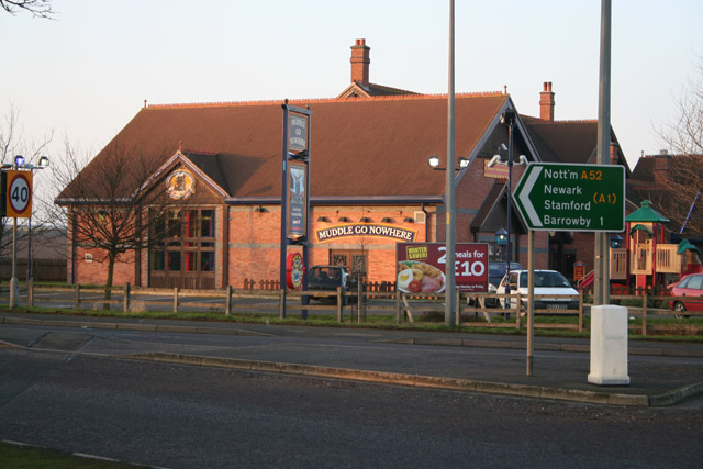
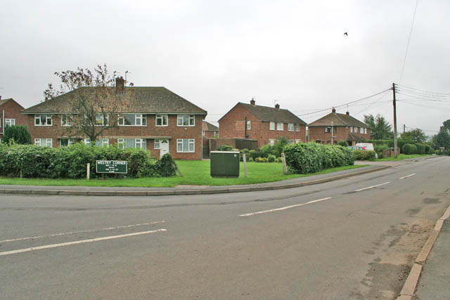
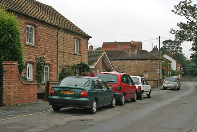
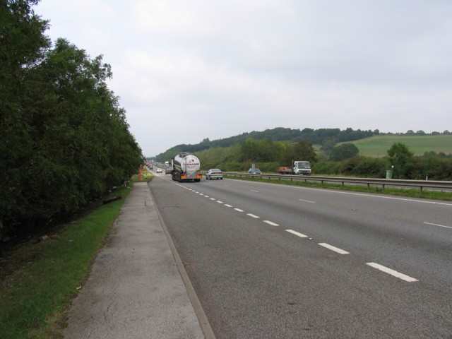
Barrowby is a village located in the county of Lincolnshire, England. Situated approximately three miles south of Grantham, it lies on the A1 road, which connects London to Edinburgh. With a population of around 1,200 residents, Barrowby boasts a close-knit community and a peaceful, rural setting.

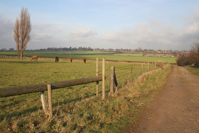
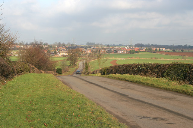
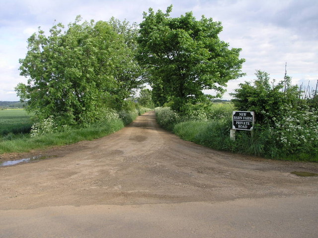
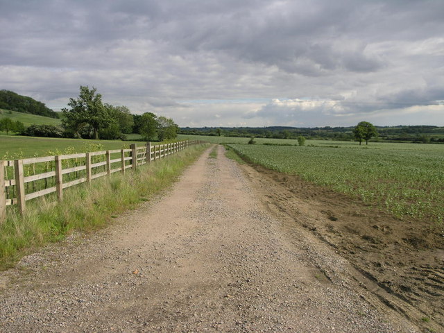
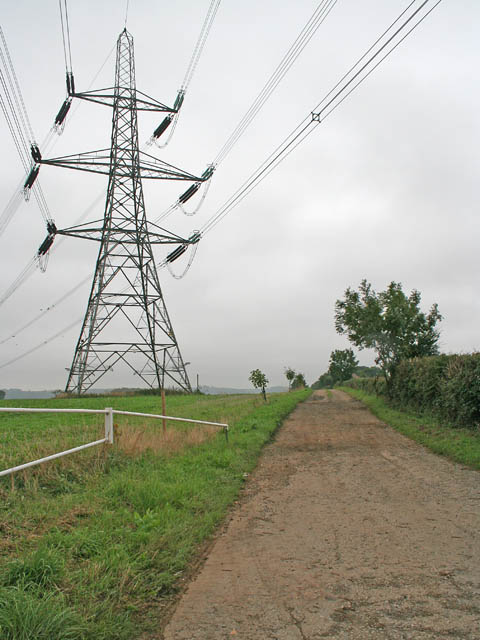
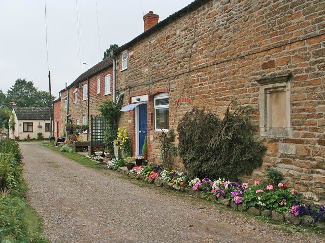
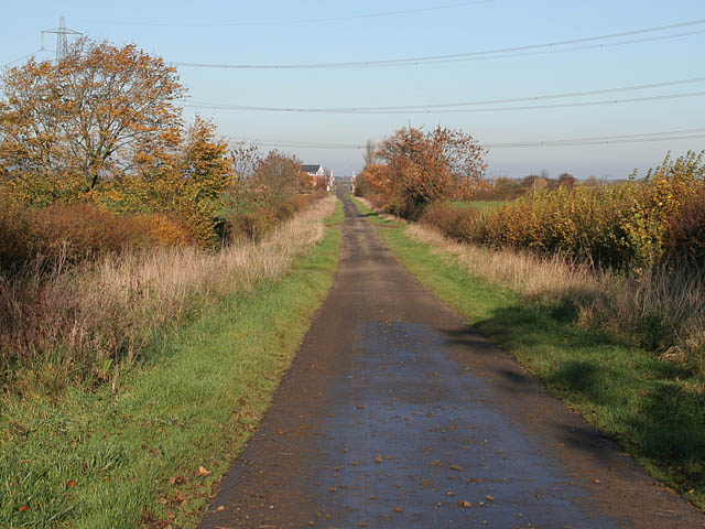
The village is known for its picturesque landscape, surrounded by rolling hills and open fields, making it an ideal location for those seeking a tranquil countryside lifestyle. The neighboring areas provide ample opportunities for outdoor activities such as walking, cycling, and horse riding.

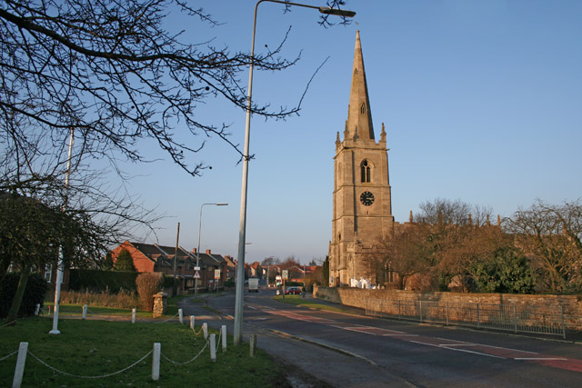
Historically, Barrowby has roots dating back to the Anglo-Saxon era, evidenced by the remains of a medieval manor house and a Norman church, St. John the Baptist. The church, with its impressive architecture and stained glass windows, serves as a focal point for the community and offers a glimpse into the village's rich history.

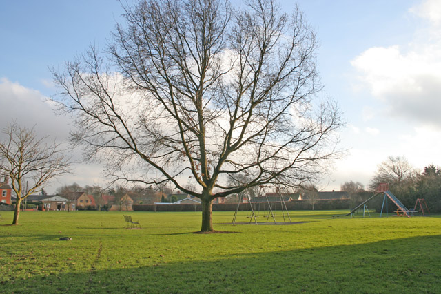
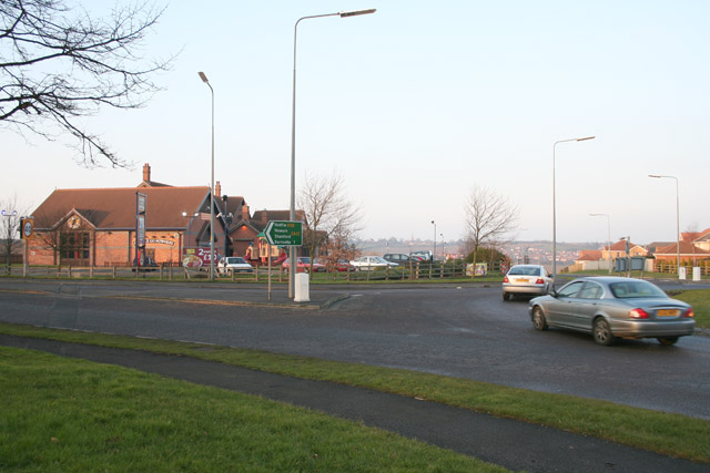
Despite its small size, Barrowby offers various amenities for its residents. The village has a primary school, a post office, a local pub, and a village hall that hosts a range of activities and events throughout the year. Additionally, its proximity to Grantham provides access to a wider range of services, including supermarkets, shops, and leisure facilities.

Transportation options are readily available in Barrowby, with regular bus services connecting the village to Grantham and other nearby towns. The A1 road also provides convenient access to major cities and transportation networks.

Overall, Barrowby is an idyllic village, offering a peaceful lifestyle, beautiful surroundings, and a strong sense of community.

If you have any feedback on the listing, please let us know in the comments section below.

Barrowby Images

Images are sourced within 2km of 52.91734/-0.69218812 or Grid Reference SK8836. Thanks to Geograph Open Source API. All images are credited.

The A1, Great Gonerby
Roundabout on Barrowby Road, Grantham
The A1, Grantham
The A1, Grantham
The A1, Grantham
The A1, Grantham
Farmland near Barrowby, Lincolnshire Horses and track used as a ride on North Lodge Farm. The fields in the distance are in <a href="https://www.geograph.org.uk/gridref/SK8736">SK8736</a> and the village on the far right is Barrowby.
Farmland near Barrowby, Lincolnshire
Horses and track used as a ride on North Lodge Farm. The fields in the distance are in SK8736 and the village on the far right is Barrowby.
Countryside near Barrowby This country road links the north of Harlaxton <a href="https://www.geograph.org.uk/gridref/SK8833">SK8833</a> to Barrowby at Westry Corner in <a href="https://www.geograph.org.uk/gridref/SK8835">SK8835</a>
Countryside near Barrowby
This country road links the north of Harlaxton SK8833 to Barrowby at Westry Corner in SK8835
Barrowby, near Grantham Lincolnshire The large village green has a small playground and plenty of benches. It crosses the boundary of two squares, the houses on the far side are in <a href="https://www.geograph.org.uk/gridref/SK8836">SK8836</a>. The grid line runs a few yards beyond the tree. Although very close to the A1 trunk road, Barrowby has an aura of calm.
Barrowby, near Grantham Lincolnshire
The large village green has a small playground and plenty of benches. It crosses the boundary of two squares, the houses on the far side are in SK8836. The grid line runs a few yards beyond the tree. Although very close to the A1 trunk road, Barrowby has an aura of calm.
Barrowby Road, Grantham A large roundabout on the Barrowby Road gives access to the Barrowby Gate estate to the south and  new housing (just into <a href="https://www.geograph.org.uk/gridref/SK9036">SK9036</a>) to the north east. The large pub on the opposite side of the road is the first major building you come across entering Grantham from the A52/A1 junction. The village on the top of the hill in the distance is Great Gonerby in <a href="https://www.geograph.org.uk/gridref/SK8938">SK8938</a> and the mass of housing to the far right is Gonerby Hill Foot in <a href="https://www.geograph.org.uk/gridref/SK9037">SK9037</a>
Barrowby Road, Grantham
A large roundabout on the Barrowby Road gives access to the Barrowby Gate estate to the south and new housing (just into SK9036) to the north east. The large pub on the opposite side of the road is the first major building you come across entering Grantham from the A52/A1 junction. The village on the top of the hill in the distance is Great Gonerby in SK8938 and the mass of housing to the far right is Gonerby Hill Foot in SK9037
The Muddle go Nowhere, Grantham The large modern pub on the Barrowby Road. It is a family pub in the Tom Cobleigh group with a Wacky Warehouse offering children's entertainment.
The Muddle go Nowhere, Grantham
The large modern pub on the Barrowby Road. It is a family pub in the Tom Cobleigh group with a Wacky Warehouse offering children's entertainment.
Track to New Barn This farm track leads to New Barn Farm close to the summit of Casthorpe Hills.
Track to New Barn
This farm track leads to New Barn Farm close to the summit of Casthorpe Hills.
Footpath on Casthorpe Hill The first part of this footpath follows the contours of Casthorpe Hills on its way past Casthorpe Lodge to the left.
Footpath on Casthorpe Hill
The first part of this footpath follows the contours of Casthorpe Hills on its way past Casthorpe Lodge to the left.
Farmland near Barrowby Pylons marching north across a newly ploughed field. The A1, Great North Road, is just beyond the trees on the right; Barrowby on the left.
Farmland near Barrowby
Pylons marching north across a newly ploughed field. The A1, Great North Road, is just beyond the trees on the right; Barrowby on the left.
Westry Corner, Barrowby Once a tiny hamlet, Westry Corner now consists of post WW 2 housing and has been absorbed into Barrowby with little trace of the old community. Note the green street sign. This is typical of Lincolnshire. Photograph taken on the corner of The Drift and Low Road.
Westry Corner, Barrowby
Once a tiny hamlet, Westry Corner now consists of post WW 2 housing and has been absorbed into Barrowby with little trace of the old community. Note the green street sign. This is typical of Lincolnshire. Photograph taken on the corner of The Drift and Low Road.
Pylon by Barrowby Lodge This giant pylon dominates the farm which is at the end of the lane to the right.
Pylon by Barrowby Lodge
This giant pylon dominates the farm which is at the end of the lane to the right.
Chapel Lane, Barrowby Mellow ironstone cottages in this large commuter village even look good on the dullest of mornings.
Chapel Lane, Barrowby
Mellow ironstone cottages in this large commuter village even look good on the dullest of mornings.
High Road, Barrowby Many of the old cottages have no off road parking causing the owners to park on the street. This is a common sight in all the commuter villages round Grantham and it is very rare to get a view without vehicles. Photograph taken looking away from the junction with the A1 which is on the edge of the village.
High Road, Barrowby
Many of the old cottages have no off road parking causing the owners to park on the street. This is a common sight in all the commuter villages round Grantham and it is very rare to get a view without vehicles. Photograph taken looking away from the junction with the A1 which is on the edge of the village.
A1 looking north
A1 looking north
Allington Lane, near Grantham This lane goes from the busy A52 across country to meet Gonnerby Lane at Pasture Farm in <a href="https://www.geograph.org.uk/gridref/SK8739">SK8739</a>. The Public right of way ends at Vale Farm, see <a href="https://www.geograph.org.uk/photo/281363">SK8738 : Vale Farm, Allington Lane</a>. The level crossing in the centre of the photograph is just in <a href="https://www.geograph.org.uk/gridref/SK8738">SK8738</a>.
Allington Lane, near Grantham
This lane goes from the busy A52 across country to meet Gonnerby Lane at Pasture Farm in SK8739. The Public right of way ends at Vale Farm, see SK8738 : Vale Farm, Allington Lane. The level crossing in the centre of the photograph is just in SK8738.
Show me another place!

Barrowby is located at Grid Ref: SK8836 (Lat: 52.91734, Lng: -0.69218812)

Division: Parts of Kesteven

Administrative County: Lincolnshire

District: South Kesteven

Police Authority: Lincolnshire

What 3 Words

///mull.deodorant.taken. Near Barrowby, Lincolnshire

Nearby Locations

Mill Hill Barrowby

Related Wikis

Barrowby

Barrowby is a village and civil parish in the South Kesteven district of Lincolnshire, England. It is 2 miles (3.2 km) west of Grantham. It overlooks the...

All Saints Church, Barrowby

All Saints Church is a Grade I listed Anglican church in Barrowby, Lincolnshire, England. The church is 2 miles (3.2 km) west from Grantham on a hillside...

Grantham Town F.C.

Grantham Town Football Club is a football club based in Grantham, Lincolnshire, England. They are currently members of the Northern Premier League Division...

Casthorpe

Casthorpe is hamlet in the civil parish of Barrowby and the South Kesteven District of Lincolnshire, England. It is 23 miles (40 km) south-southwest from...

West Grantham Church of England Secondary Academy

West Grantham Church of England Secondary Academy is a Church of England mixed secondary school in Grantham, Lincolnshire, England. == History == Built...

Newbo Abbey

Newbo Abbey was a Premonstratensian house of canons regular in Lincolnshire, England, and was dedicated to the Assumption of Mary. == Pogrom == Newbo was...

Great Gonerby

Great Gonerby is a village and civil parish in the South Kesteven district of Lincolnshire, England. The population of the civil parish at the 2011 census...

Grantham Ambergate Yard railway station

Grantham Ambergate Yard railway station was first opened by the Ambergate, Nottingham, Boston and Eastern Junction Railway in 1850 between Grantham and...

Related Videos

Walking Grantham - Sydney Street, Gladstone terrace, new street , manners Street, Chambers Street.

[4k 60fps] Walking Grantham - Sydney Street, Gladstone terrace, new street , manners Street, Chambers Street.

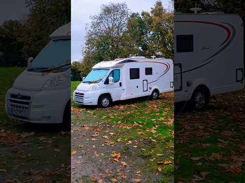
Loving the Casthorpe House Farm Certified Location #motorhomelife

A wonderful little Caravan and Motorhome Club CL out in the Lincolnshire countryside.

Great Gonerby. Next to Grantham, Lincolnshire. England.

Mix of clips from the lovely village of great Gonerby. Next to Grantham, Lincolnshire. England. springtime may.

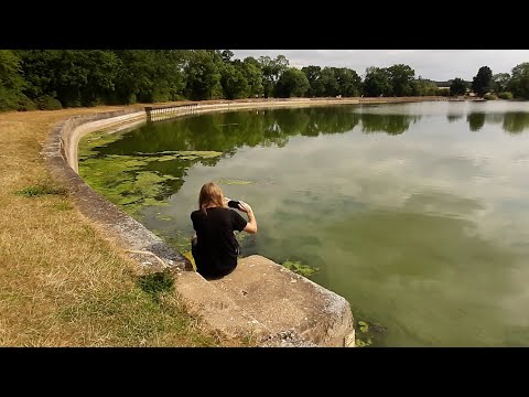
A Walk Around Denton Reservoir ( Grantham Canal Lincolnshire )

Filmed and Edited by 29th July 2022 by David and Dawn French Music David French.

Nearby Amenities

Located within 500m of 52.91734,-0.69218812
Barrowby
Is In: Lincolnshire, England, UK
Place: village
Source: NPE
Lat/Long: 52.9161674/-0.6887849
Created By: Merkaartor 0.12
Lat/Long: 52.91728/-0.6866019
Created By: Merkaartor 0.12
Lat/Long: 52.917336/-0.6872929
Created By: Merkaartor 0.12
Lat/Long: 52.9173729/-0.688188
Created By: Merkaartor 0.12
Lat/Long: 52.9173719/-0.689314
Created By: Merkaartor 0.12
Lat/Long: 52.9173774/-0.6900143
Pub
The White Swan
Addr City: Grantham
Addr Postcode: NG32 1BH
Addr Street: High Road
Addr Suburb: Barrowby
Fhrs Authority: South Kesteven
Fhrs Id: 238368
Fhrs Local Authority Id: 3801
Wikidata: Q26647400
Lat/Long: 52.9172933/-0.6920474
Bus Stop
The White Swan PH
Bus: yes
Naptan AtcoCode: 270000008504
Naptan Bearing: E
Naptan CommonName: The White Swan PH
Naptan Indicator: E - bound
Naptan Landmark: The White Swan PH
Naptan NaptanCode: lingtdja
Naptan Street: High Road
Naptan Verified: no
Public Transport: platform
Source: naptan_import
Lat/Long: 52.9174213/-0.6919969
Bus Stop
Butt Lane
Bus: yes
Naptan AtcoCode: 270000008505
Naptan Bearing: E
Naptan CommonName: Butt Lane
Naptan Indicator: adj
Naptan Landmark: Butt Lane
Naptan NaptanCode: lingtdjd
Naptan Street: High Road
Naptan Verified: no
Public Transport: platform
Source: naptan_import
Lat/Long: 52.9174078/-0.6883235
Bus Stop
Butt Lane
Bus: yes
Naptan AtcoCode: 270000008506
Naptan Bearing: W
Naptan CommonName: Butt Lane
Naptan Indicator: opp
Naptan Landmark: Butt Lane
Naptan NaptanCode: lingtdjg
Naptan Street: High Road
Naptan Verified: no
Public Transport: platform
Source: naptan_import
Lat/Long: 52.9173231/-0.687984
Bus Stop
The White Swan PH
Bus: yes
Naptan AtcoCode: 270002700386
Naptan Bearing: N
Naptan BusStopType: CUS
Naptan CommonName: The White Swan PH
Naptan Indicator: N - bound
Naptan Landmark: The White Swan PH
Naptan Street: Rectory Road
Naptan Verified: no
Public Transport: platform
Source: naptan_import
Lat/Long: 52.9176664/-0.6922126
Bus Stop
The White Swan PH
Bus: yes
Naptan AtcoCode: 270002700387
Naptan Bearing: S
Naptan BusStopType: CUS
Naptan CommonName: The White Swan PH
Naptan Indicator: S - bound
Naptan Landmark: The White Swan PH
Naptan Street: Rectory Road
Naptan Verified: no
Public Transport: platform
Source: naptan_import
Lat/Long: 52.917665/-0.6920788
Bus Stop
The White Swan PH
Bus: yes
Naptan AtcoCode: 2700LBHR3813
Naptan Bearing: W
Naptan CommonName: The White Swan PH
Naptan Indicator: W - bound
Naptan Landmark: The White Swan PH
Naptan NaptanCode: lindgjgp
Naptan Street: High Road
Naptan Verified: no
Public Transport: platform
Source: naptan_import
Lat/Long: 52.9173205/-0.6918214
Post Office
Barrowby Post Office & Village Shop
Addr City: Grantham
Addr Housenumber: 5
Addr Postcode: NG32 1BH
Addr Street: High Road
Addr Suburb: Barrowby
Brand: Post Office
Brand Wikidata: Q1783168
Contact Website: https://www.postoffice.co.uk/branch-finder/1542109/barrowby
Fhrs Authority: South Kesteven
Fhrs Id: 238687
Fhrs Local Authority Id: 3790
Ref Pol Id: 3120
Shop: convenience
Lat/Long: 52.917304/-0.6913222
Turning Circle
Lat/Long: 52.9163151/-0.6882527
Turning Circle
Lat/Long: 52.9161867/-0.6872981
Barrier: stile
Steps: 2
Stile: stepover
Lat/Long: 52.9176456/-0.698355
Barrier: stile
Steps: 1
Stile: stepover
Lat/Long: 52.9184692/-0.6951401
Barrier: stile
Steps: 2
Stile: stepover
Lat/Long: 52.9188772/-0.6958088
Turning Circle
Lat/Long: 52.9156243/-0.6951695
lockSHAW
Addr City: Grantham
Addr Country: GB
Addr Housenumber: 18
Addr Postcode: NG32 1BB
Addr Street: Manor Road
Description: lockSHAW offers affordable locksmith services in the Grantham and surrounding areas, including Newark. We are available 24 hours a day, 7 days a week. We also offer no call-out fees and no hidden extra VAT fees on our quotes.
Email: Lockshaw7@hotmail.com
Opening Hours: 24/7
Opening Hours Url: https://lockshaw.co.uk/contact-lockshaw/
Phone: +447714007977
Shop: locksmith
Website: https://www.lockshaw.co.uk
Wheelchair: yes
Lat/Long: 52.9156614/-0.6887939
Generator Method: photovoltaic
Generator Output Electricity: yes
Generator Source: solar
Generator Type: solar_photovoltaic_panel
Location: roof
Power: generator
Lat/Long: 52.917366/-0.6850826
Generator Method: photovoltaic
Generator Output Electricity: yes
Generator Source: solar
Generator Type: solar_photovoltaic_panel
Location: roof
Power: generator
Lat/Long: 52.9180259/-0.6852704
Generator Method: photovoltaic
Generator Output Electricity: yes
Generator Source: solar
Generator Type: solar_photovoltaic_panel
Location: roof
Power: generator
Lat/Long: 52.916373/-0.6869119
Generator Method: photovoltaic
Generator Output Electricity: yes
Generator Source: solar
Generator Type: solar_photovoltaic_panel
Location: roof
Power: generator
Lat/Long: 52.916407/-0.6868287
Generator Method: photovoltaic
Generator Output Electricity: yes
Generator Source: solar
Generator Type: solar_photovoltaic_panel
Location: roof
Power: generator
Lat/Long: 52.9152554/-0.6872713
Generator Method: photovoltaic
Generator Output Electricity: yes
Generator Source: solar
Generator Type: solar_photovoltaic_panel
Location: roof
Power: generator
Lat/Long: 52.9152619/-0.6873544
Generator Method: photovoltaic
Generator Output Electricity: yes
Generator Source: solar
Generator Type: solar_photovoltaic_panel
Location: roof
Power: generator
Lat/Long: 52.9178672/-0.6889168
Generator Method: photovoltaic
Generator Output Electricity: yes
Generator Source: solar
Generator Type: solar_photovoltaic_panel
Location: roof
Power: generator
Lat/Long: 52.9161594/-0.6916044
Generator Method: photovoltaic
Generator Output Electricity: yes
Generator Source: solar
Generator Type: solar_photovoltaic_panel
Location: roof
Power: generator
Lat/Long: 52.9161238/-0.6915722
Generator Method: photovoltaic
Generator Output Electricity: yes
Generator Source: solar
Generator Type: solar_photovoltaic_panel
Location: roof
Power: generator
Lat/Long: 52.9154283/-0.6902821
Generator Method: photovoltaic
Generator Output Electricity: yes
Generator Source: solar
Generator Type: solar_photovoltaic_panel
Location: roof
Power: generator
Lat/Long: 52.9157146/-0.6894533
Generator Method: photovoltaic
Generator Output Electricity: yes
Generator Source: solar
Generator Type: solar_photovoltaic_panel
Location: roof
Power: generator
Lat/Long: 52.91346/-0.6892789
Generator Method: photovoltaic
Generator Output Electricity: yes
Generator Source: solar
Generator Type: solar_photovoltaic_panel
Location: roof
Power: generator
Lat/Long: 52.9148307/-0.6929374
Generator Method: photovoltaic
Generator Output Electricity: yes
Generator Source: solar
Generator Type: solar_photovoltaic_panel
Location: roof
Power: generator
Lat/Long: 52.9147482/-0.6975857
Generator Method: photovoltaic
Generator Output Electricity: yes
Generator Source: solar
Generator Type: solar_photovoltaic_panel
Location: roof
Power: generator
Lat/Long: 52.9164529/-0.6956518
Generator Method: photovoltaic
Generator Output Electricity: yes
Generator Source: solar
Generator Type: solar_photovoltaic_panel
Location: roof
Power: generator
Lat/Long: 52.9167489/-0.6958101
Barrowby Football Club
Addr City: Grantham
Addr Housename: Barrowby Sports Pavillion
Addr Postcode: NG32 1DL
Addr Street: Low Road
Addr Suburb: Barrowby
Club: sport
Fhrs Authority: South Kesteven
Fhrs Id: 700907
Fhrs Local Authority Id: 86094
Sport: soccer
Lat/Long: 52.9128585/-0.6915808
G Skinner & Sons
Addr City: Grantham
Addr Postcode: NG32 1BZ
Addr Street: Main Street
Addr Suburb: Barrowby
Fhrs Authority: South Kesteven
Fhrs Id: 238495
Fhrs Local Authority Id: 3806
Shop: butcher
Lat/Long: 52.916331/-0.6920555
Restaurant
Dougies Cakehole
Addr City: Grantham
Addr Housename: Old Saddlers
Addr Housenumber: 1
Addr Postcode: NG32 1BZ
Addr Street: Main Street
Addr Suburb: Barrowby
Fhrs Authority: South Kesteven
Fhrs Id: 238894
Fhrs Local Authority Id: 3802
Lat/Long: 52.9171834/-0.692085
Defibrillator
Emergency: defibrillator
Lat/Long: 52.9176132/-0.6923673
The data included in this document is from www.openstreetmap.org. The data is made available under ODbL.

Have you been to Barrowby?

Leave your review of Barrowby below (or comments, questions and feedback).