Castle Hill
Hill, Mountain in Northumberland
England
Castle Hill
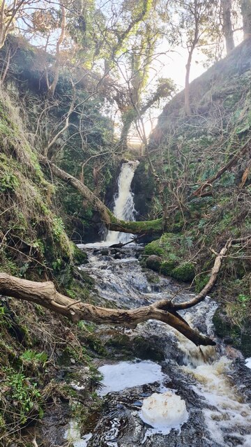
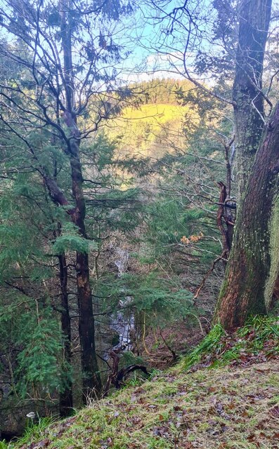
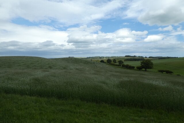
Castle Hill is a prominent landmark located in the county of Northumberland, England. Situated near the village of Alwinton, this hill is part of the Cheviot Hills range, which forms a natural border between England and Scotland. Rising to an elevation of 1,290 feet (393 meters), Castle Hill offers breathtaking panoramic views of the surrounding countryside and is a popular destination for outdoor enthusiasts and nature lovers.
The hill derives its name from the remains of a medieval castle that once stood on its summit. Although little is known about the castle's origins, it is believed to have been built in the 12th century as a defensive structure to protect the border region. Today, only the foundations and some crumbling walls remain, providing a glimpse into its historical significance.
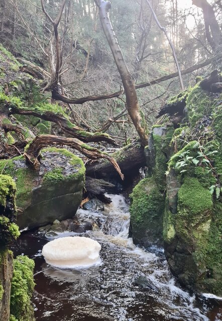
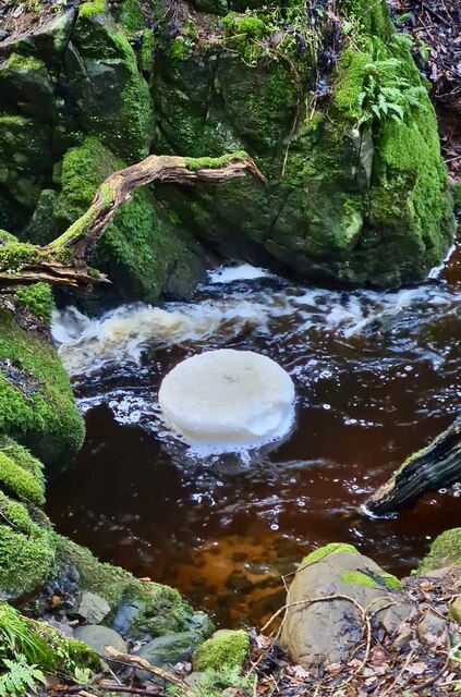
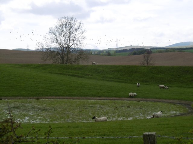
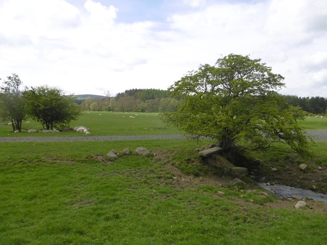
Castle Hill boasts a diverse range of flora and fauna, making it an ideal habitat for various species. The hill is covered in heather and grasses, creating a vibrant and colorful landscape, especially during the summer months. It is also home to a variety of bird species, including red grouse and curlew, as well as several mammals such as rabbits and hares.
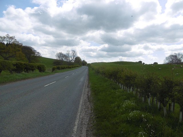
The hill attracts numerous visitors throughout the year who come to enjoy its natural beauty and to engage in outdoor activities. Hiking and walking trails crisscross the hill, offering opportunities for exploration and adventure. The challenging terrain also makes it a popular spot for hillwalking and mountaineering enthusiasts.
In conclusion, Castle Hill in Northumberland is a captivating hill with a rich historical background, stunning views, and a diverse ecosystem, making it an exceptional destination for those seeking natural beauty and outdoor pursuits.
If you have any feedback on the listing, please let us know in the comments section below.
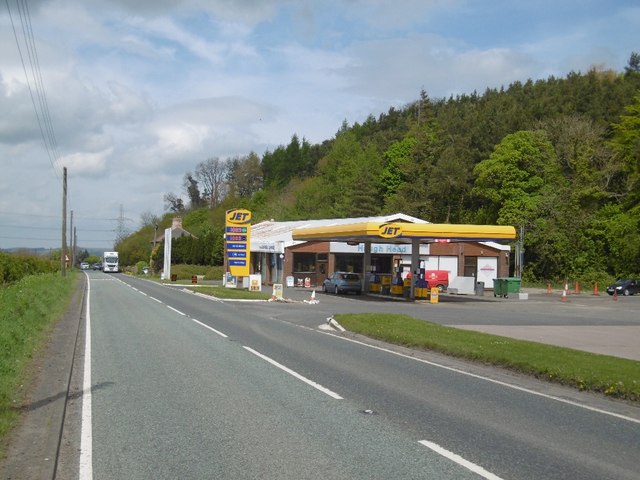
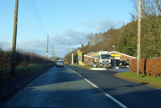
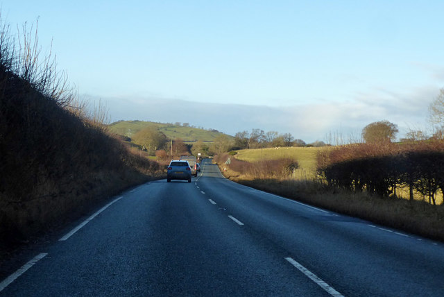
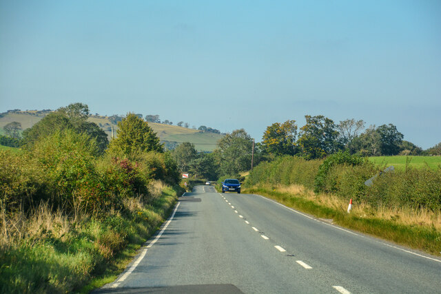
Castle Hill Images
Images are sourced within 2km of 55.521716/-2.0176642 or Grid Reference NT9825. Thanks to Geograph Open Source API. All images are credited.
Castle Hill is located at Grid Ref: NT9825 (Lat: 55.521716, Lng: -2.0176642)
Unitary Authority: Northumberland
Police Authority: Northumbria
What 3 Words
///saved.shiver.certainly. Near Wooler, Northumberland
Nearby Locations
Related Wikis

Earle, Northumberland
Earle is a village and civil parish in county of Northumberland, England. It has around 20 inhabitants and is about 2 miles (3 km) from Wooler (where from...

Wooler
Wooler ( WUUL-ə) is a town in Northumberland, England. It lies on the edge of the Northumberland National Park, near the Cheviot Hills. It is a popular...

St Ninian's Catholic Church, Wooler
St Ninian’s church is a Catholic place of worship situated on Burnhouse Road in the town of Wooler in Northumberland, England. It is a Grade II listed...
Wooler railway station
Wooler railway station was a stone-built railway station serving the town of Wooler in Northumberland. It was on the Alnwick to Cornhill Branch which ran...
Cheviot Fringe
Cheviot Fringe ( CHEE-vee-ət) is a geographical region and a Natural England designated National Character Area (or NCA) located in the county Northumberland...

Ilderton railway station
Ilderton railway station served the village of Ilderton, Northumberland, England from 1887 to 1953 on the Cornhill Branch. == History == The station opened...

Lilburn Tower
Lilburn Tower is a privately owned 19th-century mansion house at Lilburn, near Wooler, Northumberland. The property is a Grade II* listed building and...

Humbleton Hill
Humbleton Hill is a hill in Northumberland, England, about 1.5 miles (2.4 km) west of Wooler. It is the location of the Battle of Homildon Hill of 1402...
Nearby Amenities
Located within 500m of 55.521716,-2.0176642Have you been to Castle Hill?
Leave your review of Castle Hill below (or comments, questions and feedback).