Camp Hill
Hill, Mountain in Northumberland
England
Camp Hill
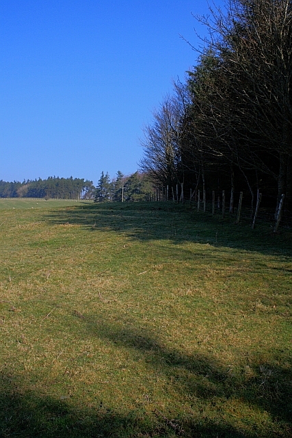
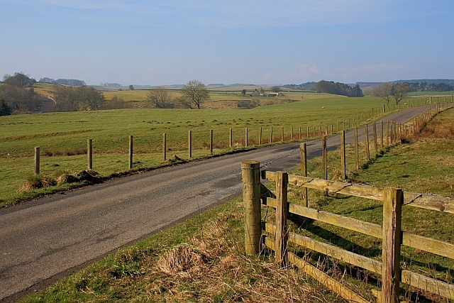
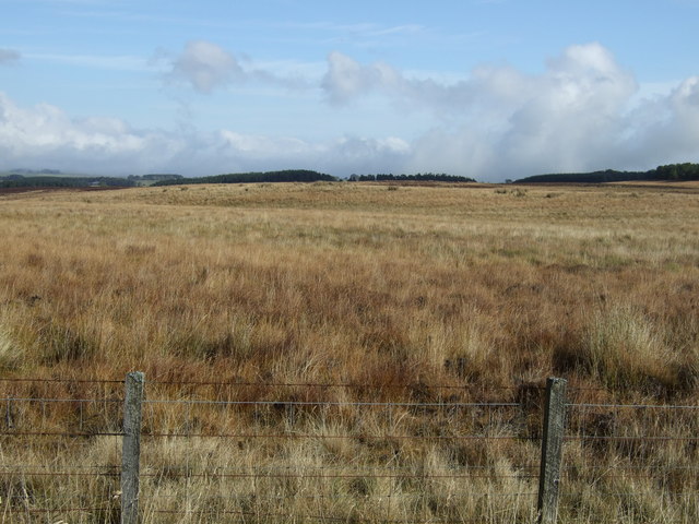
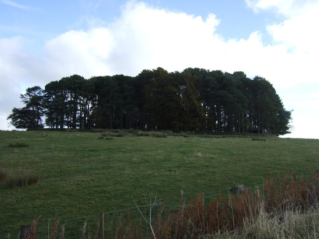
Camp Hill is a prominent hill located in the Northumberland region of England. Situated in the beautiful countryside, it is known for its picturesque views and captivating landscapes. Rising to an elevation of approximately 210 meters (689 feet), Camp Hill is considered a notable landmark in the area.
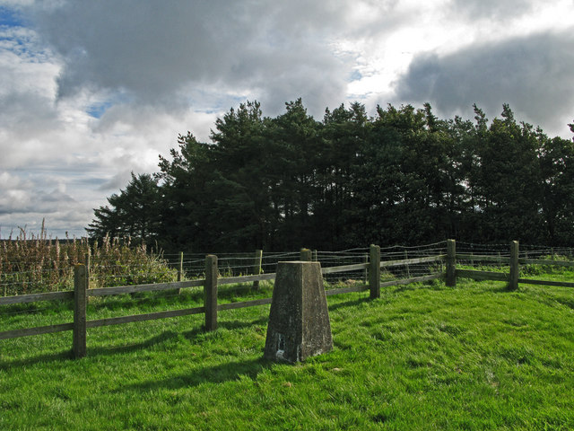
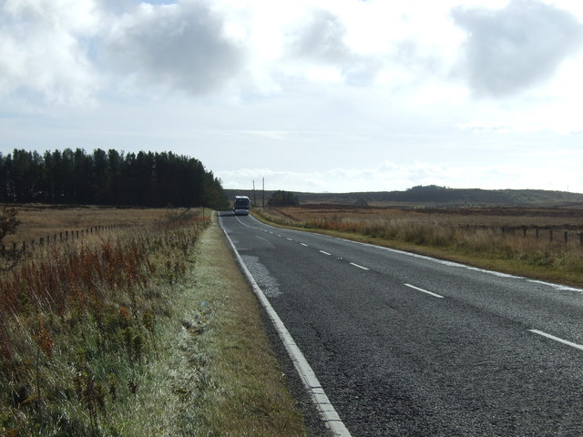
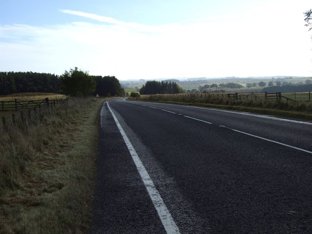
The hill is covered with lush greenery, making it an ideal spot for nature enthusiasts and hikers. It offers various walking trails that allow visitors to explore the surrounding countryside and enjoy the breathtaking scenery. The summit of Camp Hill provides panoramic views of the Northumberland countryside, including the nearby villages and rolling hills.
Camp Hill is also home to a diverse range of wildlife, making it a haven for nature lovers and birdwatchers. The surrounding woodlands and fields attract a variety of bird species, including buzzards, kestrels, and owls.
The hill has a rich history, with evidence of human occupation dating back to prehistoric times. Archaeological discoveries, such as ancient burial mounds and Roman artifacts, have been found in the vicinity. These historical remnants contribute to the cultural significance of Camp Hill, attracting history enthusiasts and archaeologists.
In addition to its natural and historical attractions, Camp Hill offers recreational facilities for visitors. It has designated picnic areas, allowing families and friends to enjoy a pleasant day out in the countryside. The hill is also a popular destination for paragliding, providing thrill-seekers with an exhilarating experience against the backdrop of the stunning Northumberland landscape.
Overall, Camp Hill in Northumberland offers a perfect blend of natural beauty, historical significance, and recreational opportunities, making it a captivating destination for locals and tourists alike.
If you have any feedback on the listing, please let us know in the comments section below.
Camp Hill Images
Images are sourced within 2km of 55.179408/-2.0175888 or Grid Reference NY9887. Thanks to Geograph Open Source API. All images are credited.


Camp Hill is located at Grid Ref: NY9887 (Lat: 55.179408, Lng: -2.0175888)
Unitary Authority: Northumberland
Police Authority: Northumbria
What 3 Words
///spurted.reshape.sings. Near Rothley, Northumberland
Nearby Locations
Related Wikis

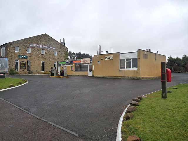
Knowesgate railway station
Knowesgate was a stone-built railway station with goods sidings in Northumberland, England on the Wansbeck Railway between Morpeth and Reedsmouth, which...

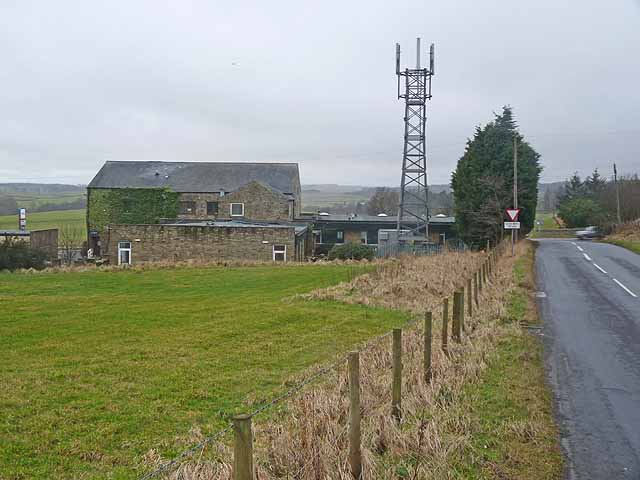
Northumberland
Northumberland ( nor-THUM-bər-lənd) is a ceremonial county in North East England, bordering Scotland. It is bordered by the Scottish Borders to the north...

Little Harle Tower
Little Harle Tower is a Grade II* listed privately owned country house with 15th-century origins, located at Little Harle, Kirkwhelpington, Northumberland...

Kirkwhelpington
Kirkwhelpington is a village and civil parish in the English county of Northumberland about 13 miles (21 km) northeast of Hexham. It is on the River Wansbeck...

Cambo, Northumberland
Cambo is a village and former civil parish, now in the parish of Wallington Demesne, in Northumberland, England. It is about 11 miles (18 km) to the west...

Wallington Hall
Wallington is a country house and gardens located about 12 miles (19 km) west of Morpeth, Northumberland, England, near the village of Cambo. It has been...
Scotsgap railway station
Scotsgap was a stone-built railway station in Northumberland on the Wansbeck Railway, which served the villages of Scots' Gap and Cambo. It was located...

Scots Gap
Scots Gap is a small village in Northumberland, United Kingdom. == Population == Scots Gap has approximately 70 private residential dwellings, the oldest...
Nearby Amenities
Located within 500m of 55.179408,-2.0175888Have you been to Camp Hill?
Leave your review of Camp Hill below (or comments, questions and feedback).