Dilley Hill

Hill, Mountain in Durham

England

Dilley Hill

Moor House beside B6278 Moor House is a small, deserted property beside the B6278 south of Stanhope. Scurfield House is partly hidden by the right hand tree.
Moor House beside B6278 Credit: Trevor Littlewood

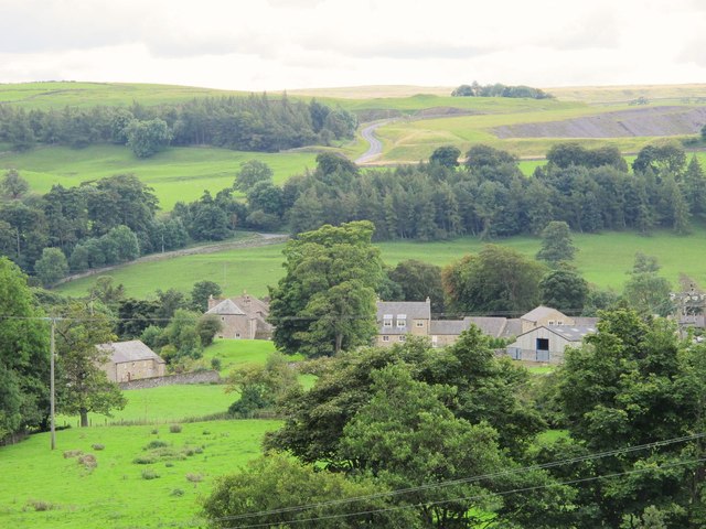
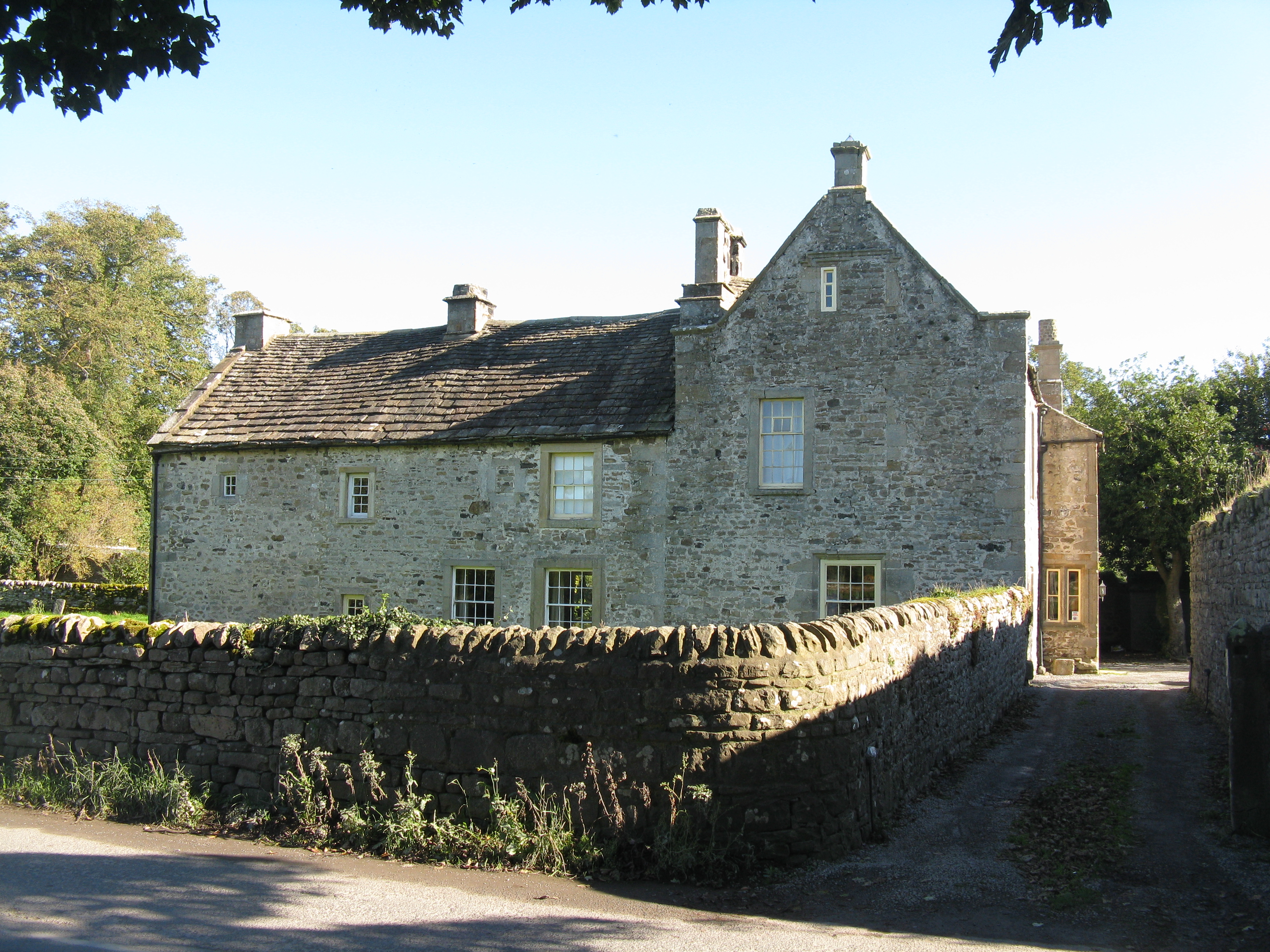
Dilley Hill is a prominent hill located in Durham, England. It is situated in the western part of the county, near the village of Esh. With an elevation of approximately 271 meters (889 feet), Dilley Hill is considered one of the highest hills in the region.

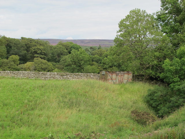
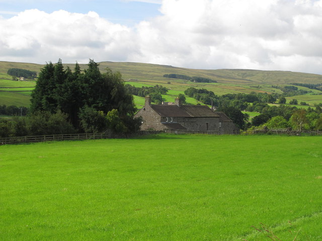
The hill is predominantly composed of limestone and is known for its distinctive appearance, featuring steep slopes covered with grass and scattered trees. The summit offers magnificent panoramic views of the surrounding countryside, with the Durham Dales and the North Pennines visible in the distance.

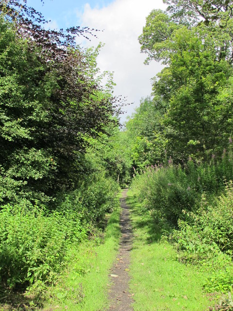
Dilley Hill has become a popular destination for outdoor enthusiasts and nature lovers. It offers numerous walking and hiking trails, allowing visitors to explore the hill's diverse flora and fauna. The area is also home to a variety of bird species, making it an attractive spot for birdwatching.

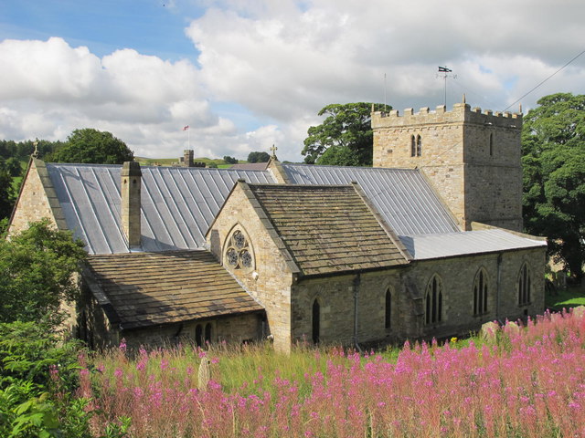
Historically, Dilley Hill has played a significant role in the region. It is believed to have been used as a lookout point during ancient times, and remnants of an Iron Age hillfort can still be found on its slopes. The hill has also been utilized for agricultural purposes, with evidence of farming activities dating back centuries.

Overall, Dilley Hill is a picturesque and historically significant feature of the Durham landscape. Its natural beauty, combined with its rich history, makes it a popular attraction for both locals and tourists alike.

If you have any feedback on the listing, please let us know in the comments section below.
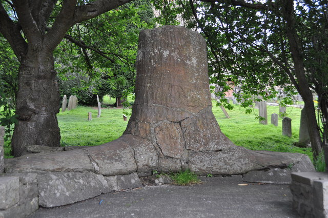
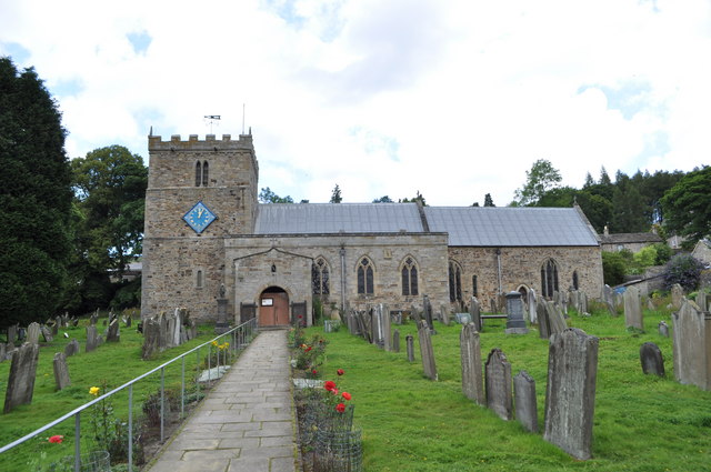
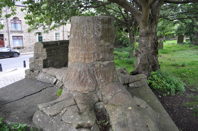
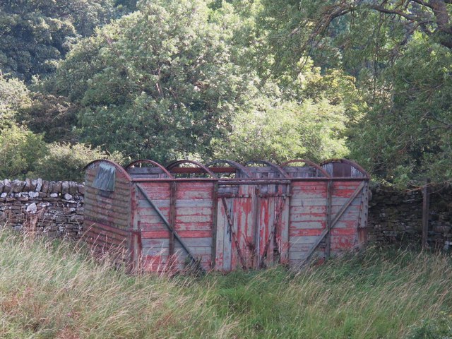
Dilley Hill Images

Images are sourced within 2km of 54.749751/-2.017679 or Grid Reference NY9839. Thanks to Geograph Open Source API. All images are credited.

Moor House beside B6278 Moor House is a small, deserted property beside the B6278 south of Stanhope. Scurfield House is partly hidden by the right hand tree.
Moor House beside B6278
Moor House is a small, deserted property beside the B6278 south of Stanhope. Scurfield House is partly hidden by the right hand tree.
Stanhope Tree A preserved Sigillaria tree from the mid Carboniferous coal swamps. Instead of joining its coal friends it rotted away but was covered in sand which left a cast. <span class="nowrap"><a title="http://arthuride.files.wordpress.com/2010/12/sigillaria-tree1.jpg" rel="nofollow ugc noopener" href="http://arthuride.files.wordpress.com/2010/12/sigillaria-tree1.jpg">Link</a><img style="margin-left:2px;" alt="External link" title="External link - shift click to open in new window" src="https://s1.geograph.org.uk/img/external.png" width="10" height="10"/></span>

Preserved at a sand quarry it was brought here and erected in front of the church. The bark and root impressions are very good.
Stanhope Tree
A preserved Sigillaria tree from the mid Carboniferous coal swamps. Instead of joining its coal friends it rotted away but was covered in sand which left a cast. LinkExternal link Preserved at a sand quarry it was brought here and erected in front of the church. The bark and root impressions are very good.
St Thomas the Apostle Church, Stanhope The Church is an ancient structure, standing on the north side of the town. It is mainly of the Norman period, with its oldest portion being the lower stages of the tower. It consists of nave, aisles, chancel, south porch, and western tower. The chantry chapel at the east end of the south aisle, and dedicated to St. Mary, was probably added about 1225. (Carol Bleasdale)
St Thomas the Apostle Church, Stanhope
The Church is an ancient structure, standing on the north side of the town. It is mainly of the Norman period, with its oldest portion being the lower stages of the tower. It consists of nave, aisles, chancel, south porch, and western tower. The chantry chapel at the east end of the south aisle, and dedicated to St. Mary, was probably added about 1225. (Carol Bleasdale)
Stanhope Tree A preserved Sigillaria tree from the mid Carboniferous coal swamps. Instead of joining its coal friends it rotted away but was covered in sand which left a cast. <span class="nowrap"><a title="http://arthuride.files.wordpress.com/2010/12/sigillaria-tree1.jpg" rel="nofollow ugc noopener" href="http://arthuride.files.wordpress.com/2010/12/sigillaria-tree1.jpg">Link</a><img style="margin-left:2px;" alt="External link" title="External link - shift click to open in new window" src="https://s1.geograph.org.uk/img/external.png" width="10" height="10"/></span>

Preserved at a sand quarry it was brought here and erected in front of the church. The bark and root impressions are very good.
Stanhope Tree
A preserved Sigillaria tree from the mid Carboniferous coal swamps. Instead of joining its coal friends it rotted away but was covered in sand which left a cast. LinkExternal link Preserved at a sand quarry it was brought here and erected in front of the church. The bark and root impressions are very good.
Stanhope Railway Station Steam was due to be running but problems meant no service today. The station was restored in 2004 with reconstruction of the canopy. The Edwardian traveller would notice little difference apart from the footbridge, signal box and signage.
Stanhope Railway Station
Steam was due to be running but problems meant no service today. The station was restored in 2004 with reconstruction of the canopy. The Edwardian traveller would notice little difference apart from the footbridge, signal box and signage.
Stanhope Railway Station A view of the footbridge which hasn't changed in many years.
Stanhope Railway Station
A view of the footbridge which hasn't changed in many years.
Stanhope Railway Station The preserved railway station on the Weardale railway, a line offering a service to Bishops Auckland. Steam runs to Wolsingham and return. Since 2004 the canopy has been restored and facilities improved. <span class="nowrap"><a title="http://www.weardale-railway.org.uk/" rel="nofollow ugc noopener" href="http://www.weardale-railway.org.uk/">Link</a><img style="margin-left:2px;" alt="External link" title="External link - shift click to open in new window" src="https://s1.geograph.org.uk/img/external.png" width="10" height="10"/></span>
Stanhope Railway Station
The preserved railway station on the Weardale railway, a line offering a service to Bishops Auckland. Steam runs to Wolsingham and return. Since 2004 the canopy has been restored and facilities improved. LinkExternal link
Former Weardale Railway The line to Eastgate is now disused but ready for restoration.
Former Weardale Railway
The line to Eastgate is now disused but ready for restoration.
Old railway goods van near Greenhead Farm The location of this old railway goods van is shown in <a href="https://www.geograph.org.uk/photo/2559305">NY9739 : The valley of Allerton Burn near Greenhead Farm</a>.
Old railway goods van near Greenhead Farm
The location of this old railway goods van is shown in NY9739 : The valley of Allerton Burn near Greenhead Farm.
The valley of Allerton Burn near Greenhead Farm Shows the location of <a href="https://www.geograph.org.uk/photo/2559299">NY9739 : Old railway goods van near Greenhead Farm</a>.
The valley of Allerton Burn near Greenhead Farm
Weardale near Greenfoot
The Church of St. Thomas, Stanhope Viewed from Church Lane.
The Church of St. Thomas, Stanhope
Viewed from Church Lane.
Ashes Quarry (2) The quarry was a mile long and was worked for over 70 years. The North Pennines AONB has produced a leaflet about the quarry that includes a 2 mile walk around the area <span class="nowrap"><a title="http://www.northpennines.org.uk/getmedia.cfm?mediaid=13093" rel="nofollow ugc noopener" href="http://www.northpennines.org.uk/getmedia.cfm?mediaid=13093">Link</a><img style="margin-left:2px;" alt="External link" title="External link - shift click to open in new window" src="https://s1.geograph.org.uk/img/external.png" width="10" height="10"/></span>.
Ashes Quarry (2)
The quarry was a mile long and was worked for over 70 years. The North Pennines AONB has produced a leaflet about the quarry that includes a 2 mile walk around the area LinkExternal link.
Ashes Quarry The quarry was a mile long and was worked for over 70 years. The North Pennines AONB has produced a leaflet about the quarry that includes a 2 mile walk around the area <span class="nowrap"><a title="http://www.northpennines.org.uk/getmedia.cfm?mediaid=13093" rel="nofollow ugc noopener" href="http://www.northpennines.org.uk/getmedia.cfm?mediaid=13093">Link</a><img style="margin-left:2px;" alt="External link" title="External link - shift click to open in new window" src="https://s1.geograph.org.uk/img/external.png" width="10" height="10"/></span>. See also <a href="https://www.geograph.org.uk/photo/2559354">NY9939 : Ashes Quarry (2)</a>.
Ashes Quarry
The quarry was a mile long and was worked for over 70 years. The North Pennines AONB has produced a leaflet about the quarry that includes a 2 mile walk around the area LinkExternal link. See also NY9939 : Ashes Quarry (2).
Weardale around Allerton bridge west of Stanhope Looking south across the valley towards <a href="https://www.geograph.org.uk/photo/1226084">NY9838 : Newlandside Quarry</a> photographed by Peter McDermott.
Weardale around Allerton bridge west of Stanhope
Looking south across the valley towards NY9838 : Newlandside Quarry photographed by Peter McDermott.
Trackbed of the former mineral railway between Ashes Quarry and Crawleyside See <a href="https://www.geograph.org.uk/photo/2559354">NY9939 : Ashes Quarry (2)</a>.
Trackbed of the former mineral railway between Ashes Quarry and Crawleyside
Wooden sleepers in the trackbed of the former mineral railway between Ashes Quarry and Crawleyside See <a href="https://www.geograph.org.uk/photo/2562753">NY9939 : Trackbed of the former mineral railway between Ashes Quarry and Crawleyside</a>.
Wooden sleepers in the trackbed of the former mineral railway between Ashes Quarry and Crawleyside
Stanhope Bridge Stanhope Bridge is a grade II* listed building: 'Medieval and early C19 with C20 restoration' as the website British Listed Buildings tells - <span class="nowrap"><a title="http://britishlistedbuildings.co.uk/en-407548-stanhope-bridge-over-river-wear-stanhope" rel="nofollow ugc noopener" href="http://britishlistedbuildings.co.uk/en-407548-stanhope-bridge-over-river-wear-stanhope">Link</a><img style="margin-left:2px;" alt="External link" title="External link - shift click to open in new window" src="https://s1.geograph.org.uk/img/external.png" width="10" height="10"/></span> . The bridge provides a crossing of the River Wear just west of the town of Stanhope.
Stanhope Bridge
Stanhope Bridge is a grade II* listed building: 'Medieval and early C19 with C20 restoration' as the website British Listed Buildings tells - LinkExternal link . The bridge provides a crossing of the River Wear just west of the town of Stanhope.
Show me another place!

Dilley Hill is located at Grid Ref: NY9839 (Lat: 54.749751, Lng: -2.017679)

Unitary Authority: County Durham

Police Authority: Durham

What 3 Words

///mows.adhesive.alleges. Near Stanhope, Co. Durham

Related Wikis

Crawley railway station (Durham)

Crawley railway station served the village of Crawleyside, County Durham, England, from 1845 to 1846 on the Stanhope and Tyne Railway. == History == The...
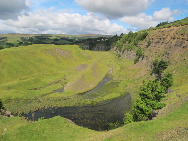
Greenfoot Quarry

Greenfoot Quarry is a Site of Special Scientific Interest in the Wear Valley district of west County Durham, England. It is a disused quarry, situated...

Stanhope, County Durham

Stanhope is a market town and civil parish in the County Durham district, in the ceremonial county of Durham, England. It lies on the River Wear between...

Crawleyside

Crawleyside is a village in the civil parish of Stanhope, in County Durham, England. It is situated to the north of Stanhope, in Weardale. In the 2001...

Unthank, Stanhope

Unthank is a collection of houses in the civil parish of Stanhope, in County Durham, England. Unthank can be found just over Stanhope Ford and at the bottom...

Crawley Edge Cairns

The Crawley Edge Cairns are a series of forty-two Bronze Age round barrows, cairns and clearance cairns located in a field in Crawleyside, near Stanhope...

Shittlehope

Shittlehope is a hamlet in the civil parish of Stanhope, in County Durham, England. It is situated on the north side of Weardale between Stanhope and Frosterley...

Heathery Burn Cave

Heathery Burn Cave is a cave near Stanhope, County Durham, England, in which a large collection of Late Bronze Age weapons and tools was discovered and...

Nearby Amenities

Located within 500m of 54.749751,-2.017679
Unthank
Place: hamlet
Wikidata: Q7897620
Wikipedia: en:Unthank, Stanhope
Lat/Long: 54.7467978/-2.0165697
Bus Stop
West Terrace
Naptan AtcoCode: 13004500A
Naptan Bearing: N
Naptan CommonName: West Terrace
Naptan Indicator: north bound
Naptan Landmark: Landmark not known
Naptan NaptanCode: durdapgm
Naptan Notes: 11 West Terrace- Stanhope
Naptan Street: B6278
Naptan Verified: no
Source: naptan_import
Lat/Long: 54.749746/-2.0143864
Bus Stop
West Terrace
Naptan AtcoCode: 13004500E
Naptan Bearing: S
Naptan CommonName: West Terrace
Naptan Indicator: south bound
Naptan Landmark: Landmark not known
Naptan NaptanCode: durdapgp
Naptan Notes: Oppsite 2 West Terrace- Stanhope.
Naptan Street: B6278
Naptan Verified: no
Source: naptan_import
Lat/Long: 54.7493955/-2.0141067
Bus Stop
Crawleyside Bank (Ashers Ho.)
Naptan AtcoCode: 13004501A
Naptan Bearing: N
Naptan CommonName: Crawleyside Bank (Ashers Ho.)
Naptan Indicator: north bound
Naptan Landmark: Landmark not known
Naptan NaptanCode: durdapgt
Naptan Notes: Opposite ashes house crawleyside- stanhope
Naptan Street: B6278
Naptan Verified: no
Source: naptan_import
Lat/Long: 54.7533676/-2.0150558
Bus Stop
Crawleyside Bank (Ashers Ho.)
Naptan AtcoCode: 13004501E
Naptan Bearing: S
Naptan CommonName: Crawleyside Bank (Ashers Ho.)
Naptan Indicator: south bound
Naptan Landmark: Landmark not known
Naptan NaptanCode: durdapgw
Naptan Notes: Ashes House- Crawleyside- Stanhope
Naptan Street: B6278
Naptan Verified: no
Source: naptan_import
Lat/Long: 54.7533676/-2.014916
Bus Stop
Newtown House
Naptan AtcoCode: 13004503C
Naptan Bearing: E
Naptan CommonName: Newtown House
Naptan Indicator: east bound
Naptan Landmark: Landmark not known
Naptan NaptanCode: durdapjg
Naptan Notes: 4-5 Rose Terrace on A689 Front Street- Stanhope
Naptan Street: A689
Naptan Verified: no
Source: naptan_import
Lat/Long: 54.7490001/-2.0146814
Bus Stop
Newtown House
Naptan AtcoCode: 13004503G
Naptan Bearing: W
Naptan CommonName: Newtown House
Naptan Indicator: west bound
Naptan Landmark: Landmark not known
Naptan NaptanCode: durdapjm
Naptan Notes: Opposite 4-5 Rose Terrace on A68 Front Street- Stanhope
Naptan Street: A689
Naptan Verified: no
Source: naptan_import
Lat/Long: 54.7488832/-2.0146502
Bus Stop
Horn Hall
Naptan AtcoCode: 13004504C
Naptan Bearing: E
Naptan CommonName: Horn Hall
Naptan Indicator: east bound
Naptan Landmark: Landmark not known
Naptan NaptanCode: durdapjp
Naptan Notes: Horn Hall Hospital- off B6278 off A689- Stanhope
Naptan Street: B6278 Bollihope Road
Naptan Verified: no
Source: naptan_import
Lat/Long: 54.7480622/-2.0184602
Turning Circle
Lat/Long: 54.7521346/-2.0136651
Bench
Lat/Long: 54.7473745/-2.0156904
Bench
Lat/Long: 54.7473869/-2.0157977
Crossing Barrier: full
Railway: level_crossing
Lat/Long: 54.7461236/-2.0159533
Barrier: yes
Lat/Long: 54.7473734/-2.0155499
Post Box
Lat/Long: 54.7493111/-2.0131579
Pub
The Grey Bull
Accommodation: yes
Addr City: Bishop Auckland
Addr Housenumber: 17
Addr Postcode: DL13 2PB
Addr Street: West Terrace
Addr Town: Stanhope
Fhrs Id: 304464
Image: https://www.geograph.org.uk/photo/5513373
Outdoor Seating: yes
Source Addr: FHRS Open Data
Lat/Long: 54.7491354/-2.0137856
Burnside Brae Guest House
Addr City: Bishop Auckland
Addr Housenumber: 23
Addr Postcode: DL13 2PE
Addr Street: Rose Terrace
Addr Suburb: Stanhope
Phone: +44 1388 528 727
Tourism: guest_house
Website: http://www.burnsidebraceguesthouse.com/
Lat/Long: 54.7490124/-2.0166334
Parking
Lat/Long: 54.7473626/-2.0165976
Fast Food
Stanhope Fish & Chips
Addr City: Bishop Auckland
Addr Housenumber: 3-5
Addr Postcode: DL13 2ND
Addr Street: Cross Street
Addr Suburb: Stanhope
Fhrs Id: 360728
Image: https://www.geograph.org.uk/photo/2751156
Phone: +44 1388 528179
Takeaway: only
Lat/Long: 54.7489077/-2.0101131
Post Box
Ref: DL13 61
Lat/Long: 54.7512664/-2.0117141
Barrier: entrance
Lat/Long: 54.7517771/-2.0202488
Power: pole
Lat/Long: 54.752799/-2.0178889
Power: pole
Lat/Long: 54.7524461/-2.0234022
Power: pole
Lat/Long: 54.7523694/-2.0221362
Power: pole
Lat/Long: 54.7522913/-2.0208809
Power: pole
Lat/Long: 54.7522185/-2.0196766
Power: pole
Lat/Long: 54.7521465/-2.0184508
Power: pole
Lat/Long: 54.7520777/-2.0171808
Power: pole
Lat/Long: 54.7519886/-2.015892
Power: pole
Lat/Long: 54.7519252/-2.0148419
Power: pole
Lat/Long: 54.7515366/-2.0137113
Waste Basket
Waste: dog_excrement
Lat/Long: 54.7508284/-2.0148271
Stanhope Old Hall B&B
Fixme: Confirm still trading. No FHRS ID
Tourism: guest_house
Lat/Long: 54.7493594/-2.017673
Fountain
Memorial Fountain
Wikidata: Q26566576
Wikimedia Commons: File:Memorial Fountain At Junction With Road To Ford.jpg
Lat/Long: 54.7488493/-2.0146219
Power: pole
Lat/Long: 54.7453668/-2.0192783
Bench
Backrest: yes
Material: wood
Seats: 4
Lat/Long: 54.7475573/-2.0111694
Power: pole
Lat/Long: 54.7506288/-2.0103022
Leisure: outdoor_seating
Lat/Long: 54.7490978/-2.0136731
The data included in this document is from www.openstreetmap.org. The data is made available under ODbL.

Have you been to Dilley Hill?

Leave your review of Dilley Hill below (or comments, questions and feedback).