Briggen Winch
Lake, Pool, Pond, Freshwater Marsh in Durham
England
Briggen Winch

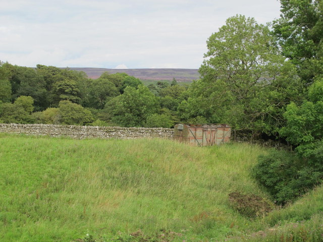
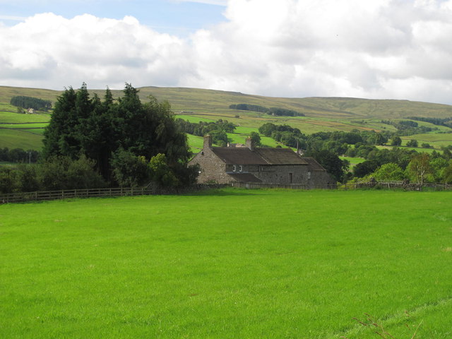
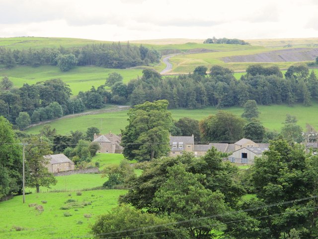
Briggen Winch, located in Durham, is a picturesque freshwater marsh encompassing a lake, pool, pond, and abundant vegetation. Spanning across a generous area, this natural ecosystem is a haven for a diverse range of flora and fauna.
The centerpiece of Briggen Winch is its serene lake, characterized by crystal-clear freshwater and surrounded by lush greenery. This sizable body of water serves as a habitat for various aquatic species, including fish, turtles, and waterfowl. Visitors can often spot ducks gracefully gliding across its surface or witness the occasional fish jumping out of the water.
Adjacent to the lake is a smaller pool, which serves as a feeding and resting spot for migratory birds. During the spring and fall seasons, bird enthusiasts can witness a flurry of activity as different species make their temporary homes in this area. It provides a unique opportunity for birdwatchers to observe and document these avian visitors.
In addition to the lake and pool, Briggen Winch also boasts a tranquil pond. This smaller water body is home to a diverse range of aquatic plants, including lilies and reeds, which provide habitat and food for insects and small amphibians.
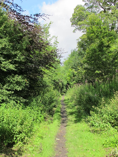
The surrounding freshwater marsh is characterized by its dense vegetation, including cattails, bulrushes, and sedges. This lush plant life creates a rich habitat for a variety of wildlife, such as frogs, dragonflies, and muskrats. The marsh also acts as a natural water filter, helping to maintain the overall health and balance of the ecosystem.
Overall, Briggen Winch in Durham offers a serene and thriving freshwater habitat, with its lake, pool, pond, and marsh providing a harmonious environment for a multitude of species to thrive. It is a popular destination for nature lovers and serves as an important ecosystem for both resident and migratory wildlife.
If you have any feedback on the listing, please let us know in the comments section below.
Briggen Winch Images
Images are sourced within 2km of 54.747279/-2.0189673 or Grid Reference NY9839. Thanks to Geograph Open Source API. All images are credited.


Briggen Winch is located at Grid Ref: NY9839 (Lat: 54.747279, Lng: -2.0189673)
Unitary Authority: County Durham
Police Authority: Durham
What 3 Words
///broken.gangway.trending. Near Stanhope, Co. Durham
Nearby Locations
Related Wikis

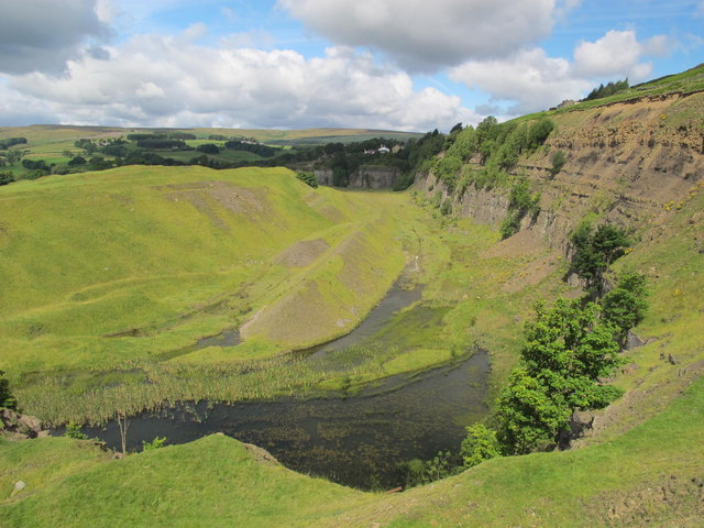
Greenfoot Quarry
Greenfoot Quarry is a Site of Special Scientific Interest in the Wear Valley district of west County Durham, England. It is a disused quarry, situated...

Stanhope, County Durham
Stanhope is a market town and civil parish in the County Durham district, in the ceremonial county of Durham, England. It lies on the River Wear between...

Crawley railway station (Durham)
Crawley railway station served the village of Crawleyside, County Durham, England, from 1845 to 1846 on the Stanhope and Tyne Railway. == History == The...
Unthank, Stanhope
Unthank is a collection of houses in the civil parish of Stanhope, in County Durham, England. Unthank can be found just over Stanhope Ford and at the bottom...

Crawleyside
Crawleyside is a village in the civil parish of Stanhope, in County Durham, England. It is situated to the north of Stanhope, in Weardale. In the 2001...
Crawley Edge Cairns
The Crawley Edge Cairns are a series of forty-two Bronze Age round barrows, cairns and clearance cairns located in a field in Crawleyside, near Stanhope...

Shittlehope
Shittlehope is a hamlet in the civil parish of Stanhope, in County Durham, England. It is situated on the north side of Weardale between Stanhope and Frosterley...

Heathery Burn Cave
Heathery Burn Cave is a cave near Stanhope, County Durham, England, in which a large collection of Late Bronze Age weapons and tools was discovered and...
Nearby Amenities
Located within 500m of 54.747279,-2.0189673Have you been to Briggen Winch?
Leave your review of Briggen Winch below (or comments, questions and feedback).