Allerton Wood
Wood, Forest in Durham
England
Allerton Wood
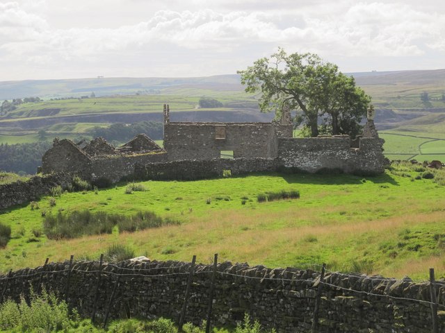
Allerton Wood is a charming forest located in Durham, England. Spread across a vast area, it is a haven for nature lovers and a popular destination for outdoor enthusiasts. The wood boasts a rich diversity of flora and fauna, making it a must-visit destination for those interested in wildlife and natural beauty.
The forest is known for its dense canopy of tall trees, creating a cool and pleasant atmosphere even during hot summer days. It is home to a variety of tree species, including oak, beech, and birch, which provide a stunning display of colors during the autumn season. The forest floor is covered in a lush carpet of ferns, mosses, and wildflowers, adding to the picturesque scenery.
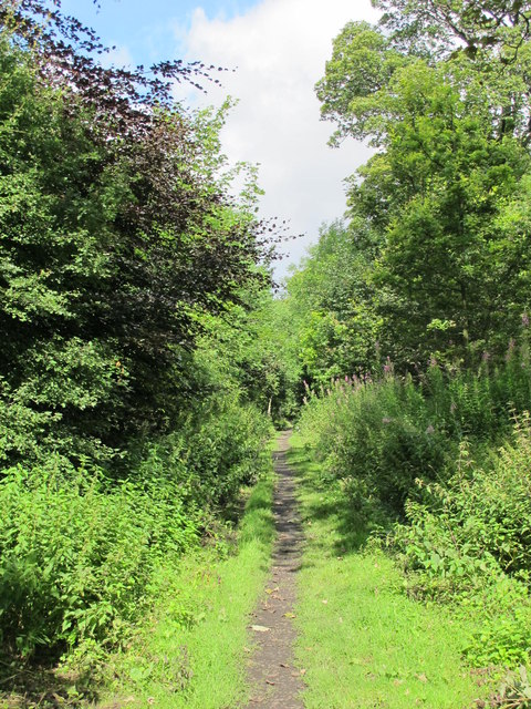
Allerton Wood offers several walking trails and paths, allowing visitors to explore its beauty at their own pace. These trails are well-maintained and suitable for all ages and fitness levels. Along the way, hikers may come across small streams and ponds, enhancing the serene ambiance of the wood.
The forest is also a haven for wildlife, with many species calling it home. Visitors may spot deer, rabbits, squirrels, and an array of bird species, making it a haven for birdwatching enthusiasts.
Allerton Wood is easily accessible, with ample parking facilities available nearby. It provides a tranquil escape from the hustle and bustle of city life, offering visitors the chance to immerse themselves in the beauty of nature. Whether it's a leisurely stroll, a picnic with family and friends, or a wildlife adventure, Allerton Wood has something for everyone.
If you have any feedback on the listing, please let us know in the comments section below.
Allerton Wood Images
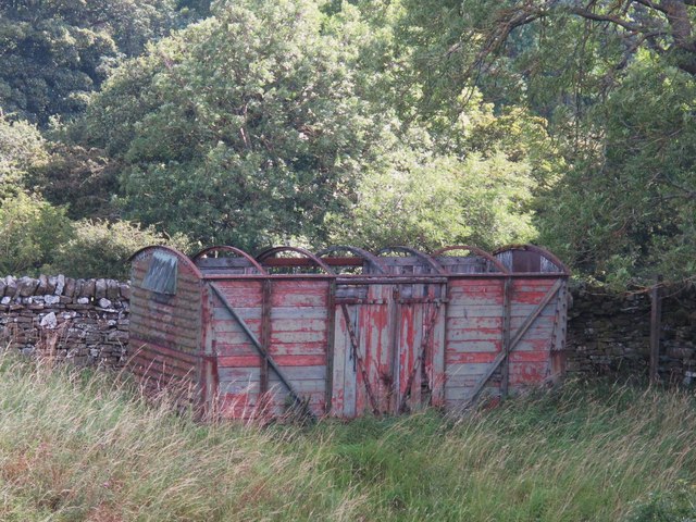
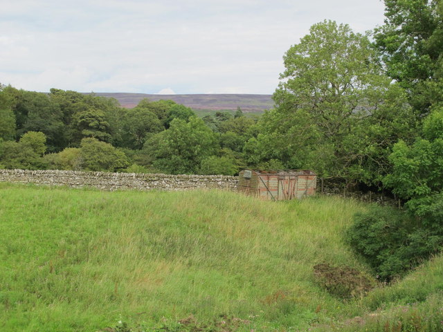
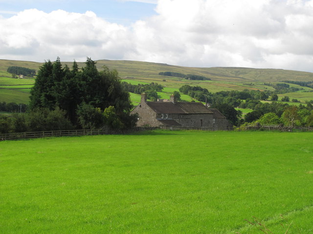
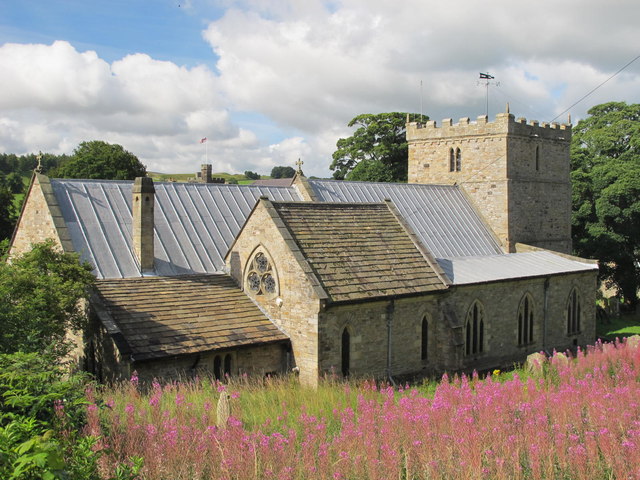
Images are sourced within 2km of 54.750999/-2.0219209 or Grid Reference NY9839. Thanks to Geograph Open Source API. All images are credited.


Allerton Wood is located at Grid Ref: NY9839 (Lat: 54.750999, Lng: -2.0219209)
Unitary Authority: County Durham
Police Authority: Durham
What 3 Words
///epidemics.adults.leaves. Near Stanhope, Co. Durham
Nearby Locations
Related Wikis

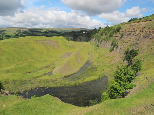
Greenfoot Quarry
Greenfoot Quarry is a Site of Special Scientific Interest in the Wear Valley district of west County Durham, England. It is a disused quarry, situated...

Crawley railway station (Durham)
Crawley railway station served the village of Crawleyside, County Durham, England, from 1845 to 1846 on the Stanhope and Tyne Railway. == History == The...

Crawleyside
Crawleyside is a village in the civil parish of Stanhope, in County Durham, England. It is situated to the north of Stanhope, in Weardale. In the 2001...

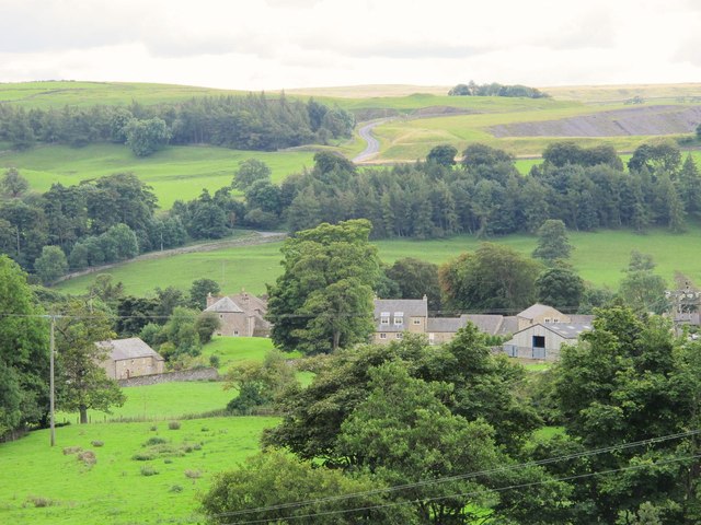
Stanhope, County Durham
Stanhope is a market town and civil parish in the County Durham district, in the ceremonial county of Durham, England. It lies on the River Wear between...
Nearby Amenities
Located within 500m of 54.750999,-2.0219209Have you been to Allerton Wood?
Leave your review of Allerton Wood below (or comments, questions and feedback).