Black Hill
Hill, Mountain in Cheshire
England
Black Hill
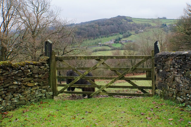
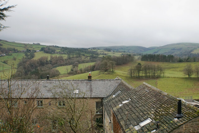
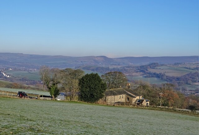
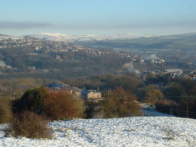
Black Hill is a prominent hill located in the county of Cheshire, England. It is situated in the Peak District National Park, near the town of Macclesfield. Standing at an elevation of 582 meters (1,909 feet), it is one of the highest points in Cheshire and offers breathtaking panoramic views of the surrounding countryside.
The hill is primarily composed of millstone grit, a type of coarse sandstone, which gives it a distinctive dark appearance, thus earning its name, Black Hill. Its rugged and rocky terrain attracts hikers, walkers, and nature enthusiasts who enjoy exploring the area's natural beauty. The hill is home to a variety of flora and fauna, including heather, bilberry, and mosses, and provides a habitat for numerous bird species such as curlews, grouse, and peregrine falcons.
Black Hill is a popular destination for outdoor activities, offering several well-marked trails that cater to different fitness levels. The ascent to the summit can be challenging but rewarding, with stunning vistas awaiting those who reach the top. The hill is also known for its ancient burial mounds and prehistoric remains, adding an element of historical intrigue to its natural allure.
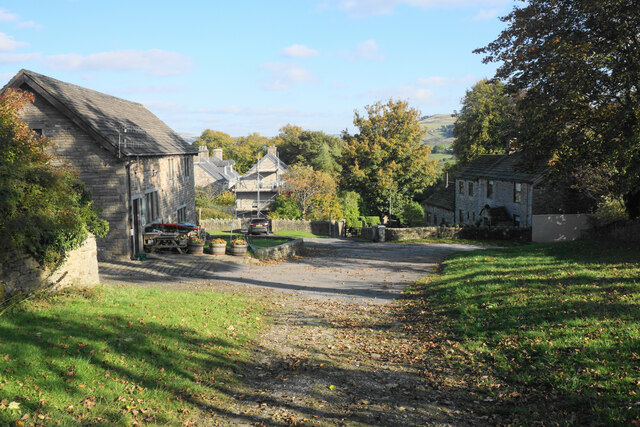
Accessible from various starting points, visitors can choose from a range of routes to reach Black Hill, each with its own unique features and points of interest. The hill's proximity to Macclesfield and its excellent transport links make it easily accessible for both locals and tourists seeking a memorable outdoor experience in the heart of Cheshire.
If you have any feedback on the listing, please let us know in the comments section below.
Black Hill Images
Images are sourced within 2km of 53.338817/-2.0167059 or Grid Reference SJ9882. Thanks to Geograph Open Source API. All images are credited.


Black Hill is located at Grid Ref: SJ9882 (Lat: 53.338817, Lng: -2.0167059)
Unitary Authority: Cheshire East
Police Authority: Cheshire
What 3 Words
///roofs.transmits.chopper. Near Whaley Bridge, Derbyshire
Nearby Locations
Related Wikis

Bollinhurst Reservoir
The Bollinhurst Reservoir was constructed in Lyme Park in 1872 for the Stockport District Waterworks Company. At the time of the First World War, it had...

Bowstones
The Bowstones are a pair of Anglian cross shafts in Cheshire, England. Situated beside the old ridgeway between Disley and Macclesfield, overlooking Lyme...
Furness Vale
Furness Vale is a village in the High Peak district of Derbyshire, England, between New Mills and Whaley Bridge. It is bisected by the A6 road and the...
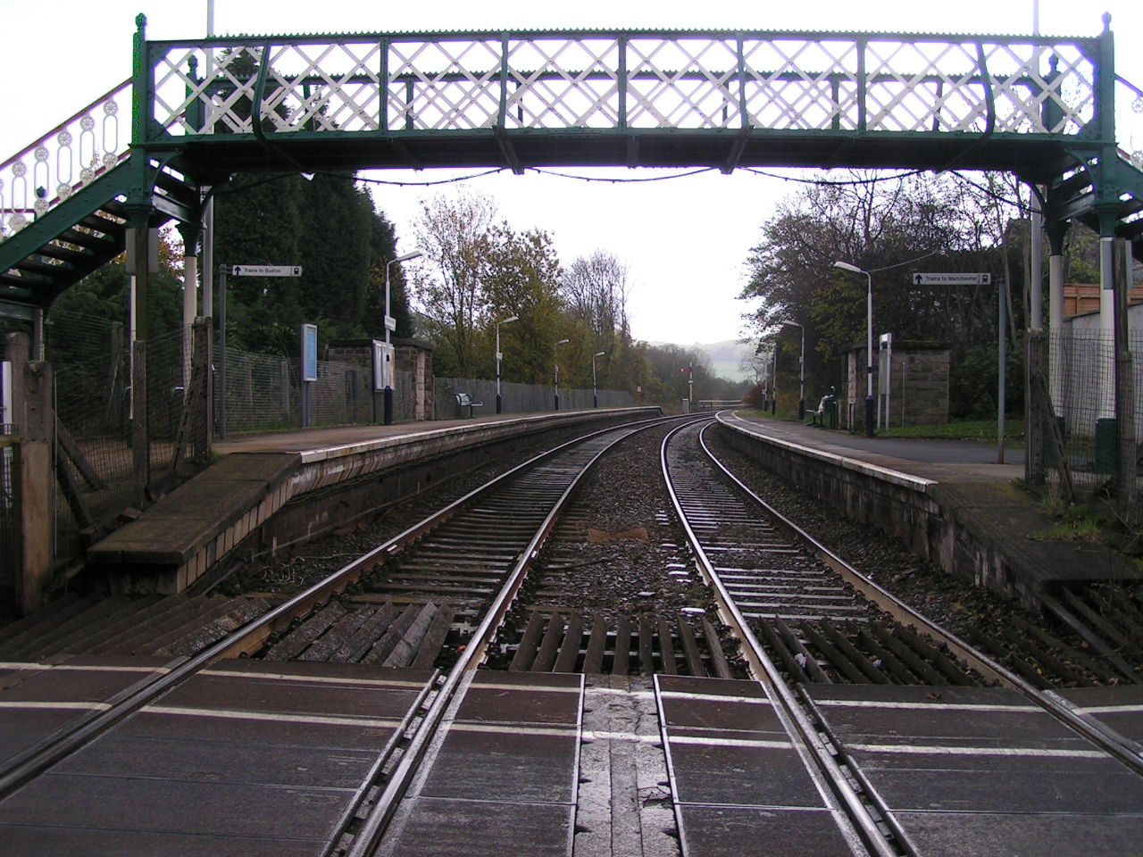
Furness Vale railway station
Furness Vale railway station in Derbyshire, England, is 15+1⁄4 miles (24.5 km) south east of Manchester Piccadilly on the Manchester to Buxton line and...
Nearby Amenities
Located within 500m of 53.338817,-2.0167059Have you been to Black Hill?
Leave your review of Black Hill below (or comments, questions and feedback).