Bowbridge Hill
Hill, Mountain in Yorkshire Richmondshire
England
Bowbridge Hill
Bowbridge Hill is a prominent geographical feature located in the county of Yorkshire, England. Situated in the scenic landscape of the Yorkshire Dales, it is classified as a hill rather than a mountain due to its elevation, which reaches around 450 meters (1476 feet) above sea level. The hill is part of the Pennine Range, a chain of hills and moorlands that stretches across Northern England.
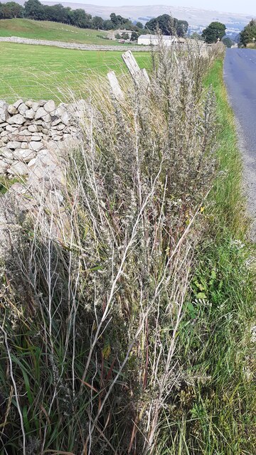
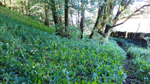
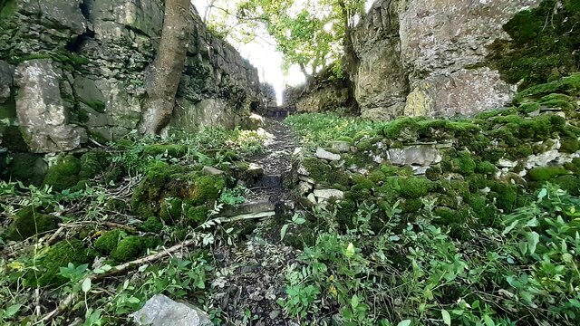
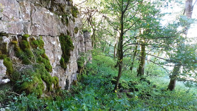
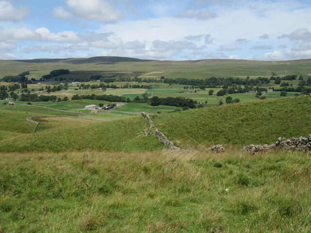
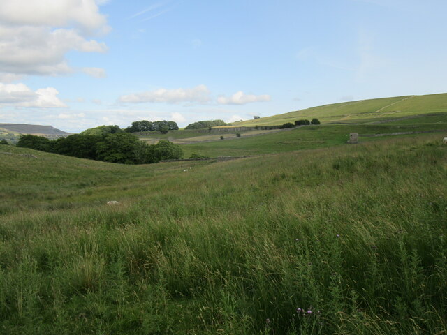
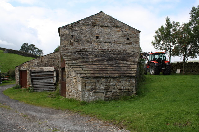
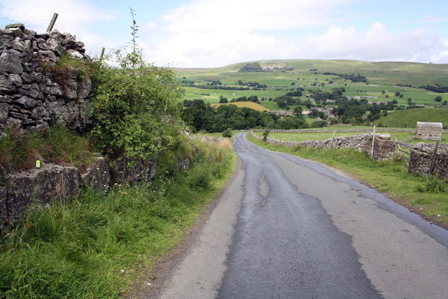
Bowbridge Hill is characterized by its rolling green slopes and stunning panoramic views of the surrounding countryside. It is covered in lush grasses and heather, which provide a habitat for a variety of flora and fauna. The hill is known for its rich biodiversity, with species such as red grouse, curlew, and meadow pipit often spotted in the area.
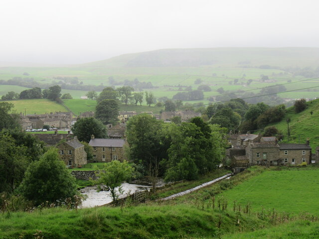
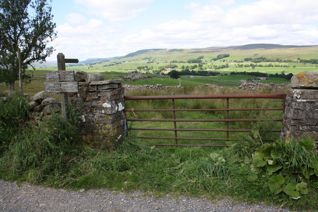
The hill is a popular destination for outdoor enthusiasts, offering numerous walking and hiking trails that cater to different levels of difficulty. These paths allow visitors to explore the natural beauty of the Yorkshire Dales and enjoy the stunning vistas from the summit of Bowbridge Hill. On clear days, it is possible to see other notable landmarks, such as the nearby village of Kettlewell and the famous limestone pavement at Malham Cove.
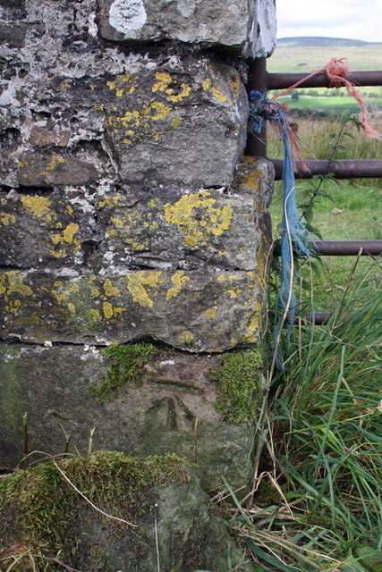
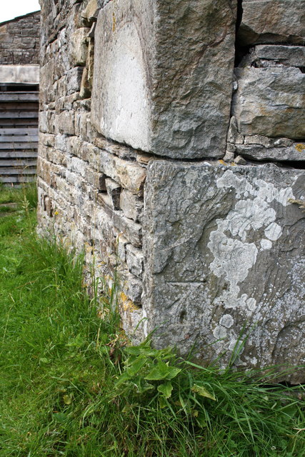
Bowbridge Hill is also steeped in history, with evidence of ancient settlements and landmarks such as stone circles and burial mounds dotting its slopes. These archaeological remnants provide insight into the region's past and attract history enthusiasts and researchers alike.
Overall, Bowbridge Hill in Yorkshire offers a captivating blend of natural beauty, outdoor recreation, and historical significance, making it a cherished destination for locals and tourists alike.
If you have any feedback on the listing, please let us know in the comments section below.
Bowbridge Hill Images
Images are sourced within 2km of 54.315041/-2.1034313 or Grid Reference SD9391. Thanks to Geograph Open Source API. All images are credited.
Bowbridge Hill is located at Grid Ref: SD9391 (Lat: 54.315041, Lng: -2.1034313)
Division: North Riding
Administrative County: North Yorkshire
District: Richmondshire
Police Authority: North Yorkshire
What 3 Words
///sharp.ranged.statement. Near Leyburn, North Yorkshire
Nearby Locations
Related Wikis

Fors Abbey
Fors Abbey was an abbey in Low Abbotside, Askrigg, North Yorkshire, England.It was built in 1145 for the Savigniac order and converted to the Cistercian...

River Bain, North Yorkshire
The River Bain is a river in North Yorkshire, England. As a tributary of the River Ure, it is one of the shortest, named rivers in England. The river...

Bainbridge, North Yorkshire
Bainbridge is a village and civil parish in North Yorkshire, England. The population of the civil parish at the 2011 census was 480. The village is situated...

Askrigg railway station
Askrigg railway station is a disused railway station in North Yorkshire, England and served the village of Askrigg. It was part of the Wensleydale Railway...

River Bain Hydro
The River Bain Hydro is a hydroelectric generator on the River Bain in the village of Bainbridge, North Yorkshire, England. Its screw turbine powers most...

Virosidum
Virosidum was a Roman fort and settlement situated near to the modern town of Bainbridge, North Yorkshire, England. The site is a Scheduled monument....

St Oswald's Church, Askrigg
St Oswald's Church is a Grade I listed parish church in the Church of England in Askrigg, North Yorkshire. == History == The church dates largely from...

Askrigg
Askrigg is a small village and civil parish in Wensleydale in the Yorkshire Dales National Park. It was formerly a part of the Richmondshire district of...
Nearby Amenities
Located within 500m of 54.315041,-2.1034313Have you been to Bowbridge Hill?
Leave your review of Bowbridge Hill below (or comments, questions and feedback).