Low Abbotside
Civil Parish in Yorkshire Richmondshire
England
Low Abbotside
Low Abbotside is a civil parish located in the district of Richmondshire, in the county of Yorkshire, England. It is situated in the picturesque Yorkshire Dales National Park, which is renowned for its stunning landscapes and natural beauty. The parish is located approximately 3 miles northwest of the market town of Hawes.
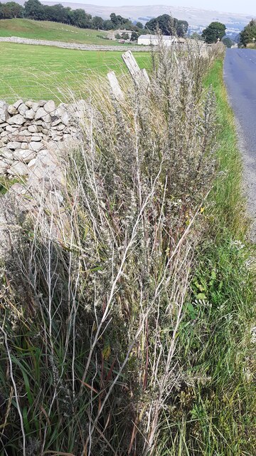
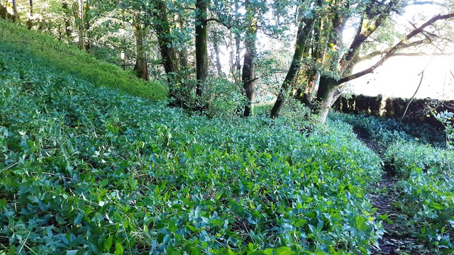
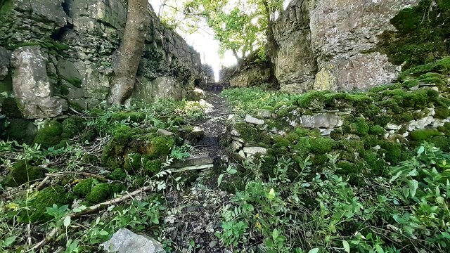
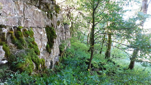
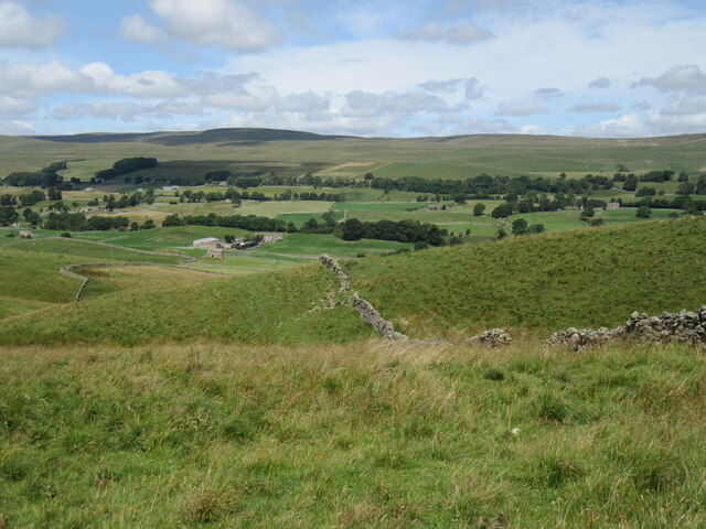
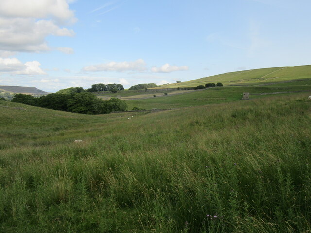
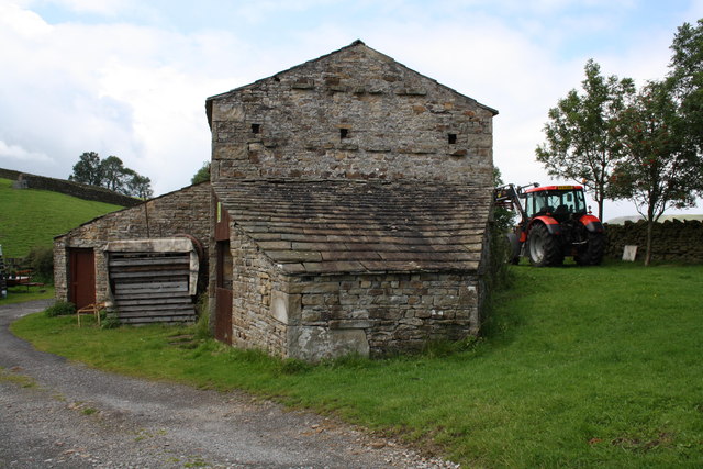
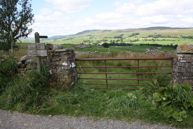
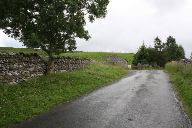
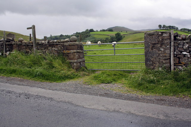
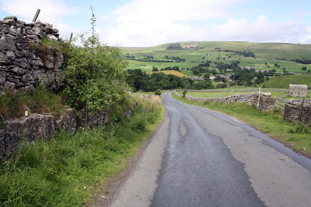
Low Abbotside covers an area of around 5 square miles and is home to a small population of residents. The parish is predominantly rural, characterized by rolling hills, open fields, and charming stone-built houses and farms. The area is known for its agricultural heritage, with farming playing a significant role in the local economy.
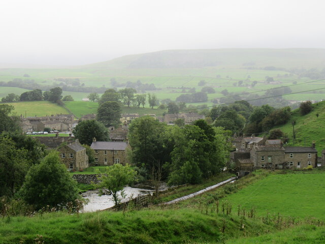
The landscape of Low Abbotside is shaped by the River Ure, which meanders through the parish, providing a scenic backdrop for residents and visitors alike. The river also offers opportunities for fishing and recreational activities.
The parish is home to St. Oswald's Church, a historic place of worship that dates back to the 12th century. The church is a testament to the area's rich history and serves as a focal point for the local community.
Low Abbotside offers a tranquil and peaceful setting, making it an ideal destination for those seeking a rural retreat or exploring the natural wonders of the Yorkshire Dales. The area attracts outdoor enthusiasts, with numerous walking trails and cycling routes available to explore the surrounding countryside.
In summary, Low Abbotside is a picturesque civil parish in Yorkshire, characterized by its rural landscapes, agricultural heritage, and proximity to the Yorkshire Dales National Park.
If you have any feedback on the listing, please let us know in the comments section below.
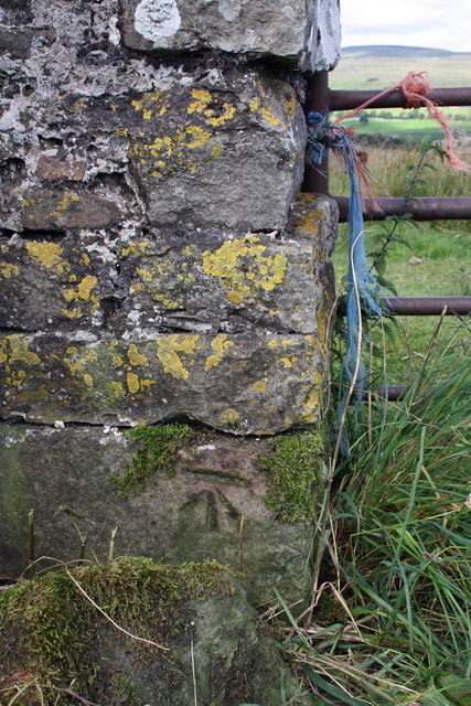
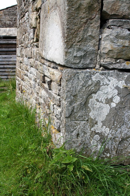
Low Abbotside Images
Images are sourced within 2km of 54.318074/-2.108207 or Grid Reference SD9391. Thanks to Geograph Open Source API. All images are credited.

Low Abbotside is located at Grid Ref: SD9391 (Lat: 54.318074, Lng: -2.108207)
Division: North Riding
Administrative County: North Yorkshire
District: Richmondshire
Police Authority: North Yorkshire
What 3 Words
///gambles.incursion.form. Near Leyburn, North Yorkshire
Nearby Locations
Related Wikis

Fors Abbey
Fors Abbey was an abbey in Low Abbotside, Askrigg, North Yorkshire, England.It was built in 1145 for the Savigniac order and converted to the Cistercian...

River Bain, North Yorkshire
The River Bain is a river in North Yorkshire, England. As a tributary of the River Ure, it is one of the shortest, named rivers in England. The river...

Bainbridge, North Yorkshire
Bainbridge is a village and civil parish in North Yorkshire, England. The population of the civil parish at the 2011 census was 480. The village is situated...

Askrigg railway station
Askrigg railway station is a disused railway station in North Yorkshire, England and served the village of Askrigg. It was part of the Wensleydale Railway...

River Bain Hydro
The River Bain Hydro is a hydroelectric generator on the River Bain in the village of Bainbridge, North Yorkshire, England. Its screw turbine powers most...

Virosidum
Virosidum was a Roman fort and settlement situated near to the modern town of Bainbridge, North Yorkshire, England. The site is a Scheduled monument....

St Oswald's Church, Askrigg
St Oswald's Church is a Grade I listed parish church in the Church of England in Askrigg, North Yorkshire. == History == The church dates largely from...

Askrigg
Askrigg is a small village and civil parish in Wensleydale in the Yorkshire Dales National Park. It was formerly a part of the Richmondshire district of...
Nearby Amenities
Located within 500m of 54.318074,-2.108207Have you been to Low Abbotside?
Leave your review of Low Abbotside below (or comments, questions and feedback).