Allenden Hill
Hill, Mountain in Lancashire
England
Allenden Hill
Allenden Hill is a prominent hill located in the county of Lancashire, England. Situated near the town of Clitheroe, it forms part of the picturesque Forest of Bowland Area of Outstanding Natural Beauty. Rising to an elevation of approximately 400 meters, Allenden Hill offers breathtaking views of the surrounding countryside.
The hill is characterized by its rolling green slopes, covered in lush grass and scattered with heather. It is a popular destination for outdoor enthusiasts, offering a variety of walking trails and paths that cater to all levels of difficulty. The ascent to the summit is relatively gentle, making it accessible for families and less experienced hikers.
At the top of Allenden Hill, visitors are rewarded with panoramic views that stretch for miles. On a clear day, one can see as far as the Irish Sea and the peaks of the Lake District. The hill also provides an excellent vantage point for birdwatching, with various species of birds of prey often spotted soaring above the hillside.
The area surrounding Allenden Hill is rich in wildlife and biodiversity. It is home to numerous plant and animal species, including rare orchids and mountain hares. The hillside is dotted with ancient woodland, adding to its natural beauty and ecological significance.
Allenden Hill holds historical significance as well, with remnants of ancient settlements and stone circles found in the vicinity. These archaeological sites contribute to the hill's allure and provide a glimpse into the region's past.
Overall, Allenden Hill is a captivating natural landmark that draws visitors with its stunning views, diverse wildlife, and historical significance. It offers a peaceful retreat where one can immerse themselves in the beauty of Lancashire's countryside.
If you have any feedback on the listing, please let us know in the comments section below.
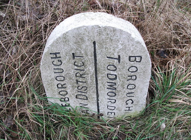
Allenden Hill Images
Images are sourced within 2km of 53.669925/-2.1018408 or Grid Reference SD9319. Thanks to Geograph Open Source API. All images are credited.


Allenden Hill is located at Grid Ref: SD9319 (Lat: 53.669925, Lng: -2.1018408)
Unitary Authority: Rochdale
Police Authority: Greater Manchester
What 3 Words
///vine.thumb.funded. Near Walsden, West Yorkshire
Related Wikis

Summit Tunnel fire
The Summit Tunnel fire occurred on 20 December 1984, when a dangerous goods train caught fire while passing through the Summit Tunnel on the railway line...

Calderbrook
Calderbrook ( KAWL-dər-bruuk) is a village within the Metropolitan Borough of Rochdale, in Greater Manchester, England. It was originally part of the township...

Summit Tunnel
Summit Tunnel in England is one of the world's oldest railway tunnels. It was constructed between 1838 and 1841 by the Manchester and Leeds Railway Company...

Greenvale Brook
Greenvale Brook is a watercourse in Greater Manchester and a tributary of the River Roch. == Tributaries == Lydgate Brook Castle Brook Red Brook Lead Mine...
Town House Brook
Town House Brook is a watercourse in Greater Manchester and a tributary of the River Roch. == Tributaries == Long Clough Brook Turn Slack Brook Blue Pot...

Watergrove Reservoir
Watergrove Reservoir is a reservoir close to Wardle in the Metropolitan Borough of Rochdale, within Greater Manchester, England. Rochdale Corporation...

Walsden
Walsden (; WOLZ-dən) is a large village in the civil parish of Todmorden in the Metropolitan Borough of Calderdale, West Yorkshire, England. It was historically...

Littleborough, Greater Manchester
Littleborough ( LIT-əl-bər-ə) is a town in the Metropolitan Borough of Rochdale, Greater Manchester, England, in the upper Roch Valley by the foothills...
Related Videos
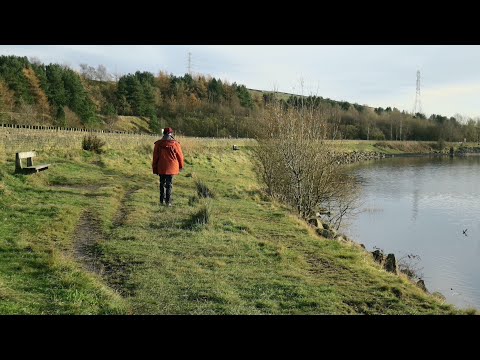
Watergrove Valley
Some of our walks were filmed earlier than recent walks. Watergrove Valley is one of them. It's local and not the first time we've ...
Watergrove Reservoir and Rough Hill Circular walk with dog
Stunning walk around the Watergrove Reservoir and Rough Hill in Littleborough. Fantastic views. Nice brew and of course a ...

Christmas Lands In Todmorden
Visit #todmorden it's free and there are some #plumbers.

After 7 miles walk #shorts #train #travel
Last moments of my walk from Firgrove Playing Field to Wallsend train stop, travelling back to Roachdale on train. #shorts #train ...
Nearby Amenities
Located within 500m of 53.669925,-2.1018408Have you been to Allenden Hill?
Leave your review of Allenden Hill below (or comments, questions and feedback).