Owler Clough Head

Landscape Feature in Lancashire

England

Owler Clough Head

Ross Ices - old ice cream sign
Ross Ices - old ice cream sign Credit: michael ely

Owler Clough Head, located in Lancashire, is a prominent landscape feature that holds significant historical and geographical importance. This picturesque hill, also known as Owler Clough, is situated within the Rossendale Valley, near the town of Bacup.

Rising approximately 1,000 feet above sea level, Owler Clough Head offers panoramic views of the surrounding countryside. Its distinctive shape and position make it a notable landmark in the area. The hill is characterized by its rugged terrain, comprising of heather moorland, rock outcrops, and scattered trees.

Historically, Owler Clough Head has played a vital role in the local textile industry. In the 19th century, many mills were built in the valley below, utilizing the water resources provided by the hill's streams and rivers. The remnants of these industrial structures can still be seen today, adding to the historical charm of the area.

Aside from its historical significance, Owler Clough Head also boasts diverse flora and fauna. The hill is home to a variety of plant species, including heather, bilberry, and cotton grass. It also provides a habitat for numerous bird species, such as curlews, lapwings, and red grouse.

Owler Clough Head is a popular destination for outdoor enthusiasts, offering opportunities for hiking, birdwatching, and photography. It is crisscrossed by footpaths and trails, allowing visitors to explore its natural beauty and enjoy the tranquil surroundings. The hill's commanding presence and breathtaking views make it a must-visit location for nature lovers and those seeking a peaceful escape in the heart of Lancashire.

If you have any feedback on the listing, please let us know in the comments section below.

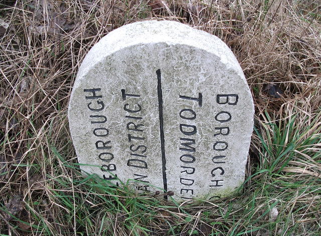
Owler Clough Head Images

Images are sourced within 2km of 53.670808/-2.0999206 or Grid Reference SD9319. Thanks to Geograph Open Source API. All images are credited.

Ross Ices - old ice cream sign
Boundary stone on Todmorden Road Marks the division of the old Littleborough Urban District and the Borough of Todmorden. Now the local authorities are Rochdale and Calderdale respectively. Or, in tribal terms, the boundary between Lancashire and Yorkshire.
Boundary stone on Todmorden Road
Marks the division of the old Littleborough Urban District and the Borough of Todmorden. Now the local authorities are Rochdale and Calderdale respectively. Or, in tribal terms, the boundary between Lancashire and Yorkshire.
Longlees Lock, Rochdale Canal Lock no 36 and the start of the summit pound.
Longlees Lock, Rochdale Canal
Lock no 36 and the start of the summit pound.
The dam at Higher Chelburn Reservoir
Towards Light Hazzles Clough and Chelburn Moor
Light Hazzles Farm across the infant River Roch
Light Hazzles Farm
Light Hazzles Farm
Shore Moor Crook Hill Wind Farm on Shore Moor.
Shore Moor
Crook Hill Wind Farm on Shore Moor.
A6033 at Steanor Bottom Toll House
Todmorden Road, Summit, with quarry in the distance The Pennine Bridleway goes left just before the pub. Summit Quarry is a big gash on the far hillside. It started as clay pits for a brickworks.
Todmorden Road, Summit, with quarry in the distance
The Pennine Bridleway goes left just before the pub. Summit Quarry is a big gash on the far hillside. It started as clay pits for a brickworks.
Lock on the Rochdale Canal at Chelburn Bridge, Summit The sign states that this is the West Summit Lock, No.37.
Lock on the Rochdale Canal at Chelburn Bridge, Summit
The sign states that this is the West Summit Lock, No.37.
Entrance to Summit Quarry This started as a clay pit for a brickworks, but there is rock-climbing on gritstone cliffs, so evidently stone has been quarried here. There is also woodland (A 'Woodland Welcome' wood).
Entrance to Summit Quarry
This started as a clay pit for a brickworks, but there is rock-climbing on gritstone cliffs, so evidently stone has been quarried here. There is also woodland (A 'Woodland Welcome' wood).
The Pennine Bridleway climbing away from Summit
Lower Chelburn Reservoir This reservoir was constructed to supply the Rochdale Canal.
Lower Chelburn Reservoir
This reservoir was constructed to supply the Rochdale Canal.
Track up to where Solomon Cutting crosses a ridge, Chelburn Moor The footpath continues to meet the Pennine Way at Light Hazzles Edge.
Track up to where Solomon Cutting crosses a ridge, Chelburn Moor
The footpath continues to meet the Pennine Way at Light Hazzles Edge.
View from Todmorden Road near Summit The hillside is 'access land', and also a footpath goes across the view, climbing towards the right. There are spoil heaps from quarries on the skyline. It looks to be a nice area to explore some time.
View from Todmorden Road near Summit
The hillside is 'access land', and also a footpath goes across the view, climbing towards the right. There are spoil heaps from quarries on the skyline. It looks to be a nice area to explore some time.
The Pennine Bridleway leaving the reservoir driveway, Chelburn Moor The barrier is probably a temporary one whilst civil engineering work is being carried out at Higher Chelburn Reservoir.
The Pennine Bridleway leaving the reservoir driveway, Chelburn Moor
The barrier is probably a temporary one whilst civil engineering work is being carried out at Higher Chelburn Reservoir.
Footpath on Chelburn Moor This is on the path that starts here: <a href="https://www.geograph.org.uk/photo/5469790">SD9418 : Track up to where Solomon Cutting crosses a ridge, Chelburn Moor</a>.
Footpath on Chelburn Moor
Show me another place!

Owler Clough Head is located at Grid Ref: SD9319 (Lat: 53.670808, Lng: -2.0999206)

Unitary Authority: Rochdale

Police Authority: Greater Manchester

What 3 Words

///orange.bench.flop. Near Walsden, West Yorkshire

Related Wikis

Summit Tunnel fire

The Summit Tunnel fire occurred on 20 December 1984, when a dangerous goods train caught fire while passing through the Summit Tunnel on the railway line...

Calderbrook

Calderbrook ( KAWL-dər-bruuk) is a village within the Metropolitan Borough of Rochdale, in Greater Manchester, England. It was originally part of the township...

Summit Tunnel

Summit Tunnel in England is one of the world's oldest railway tunnels. It was constructed between 1838 and 1841 by the Manchester and Leeds Railway Company...

Greenvale Brook

Greenvale Brook is a watercourse in Greater Manchester and a tributary of the River Roch. == Tributaries == Lydgate Brook Castle Brook Red Brook Lead Mine...

Nearby Amenities

Located within 500m of 53.670808,-2.0999206
Generator Method: wind_turbine
Generator Output Electricity: yes
Generator Source: wind
Generator Type: horizontal_axis
Power: generator
Source: survey
Source Geometry: DigitalGlobe-Standard
Lat/Long: 53.6729869/-2.105523
Crossing
Lat/Long: 53.6716895/-2.105875
The data included in this document is from www.openstreetmap.org. The data is made available under ODbL.

Have you been to Owler Clough Head?

Leave your review of Owler Clough Head below (or comments, questions and feedback).