Clent Hill
Hill, Mountain in Worcestershire Bromsgrove
England
Clent Hill
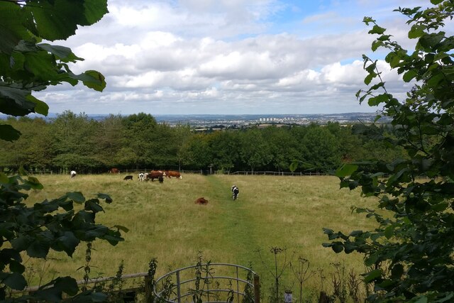
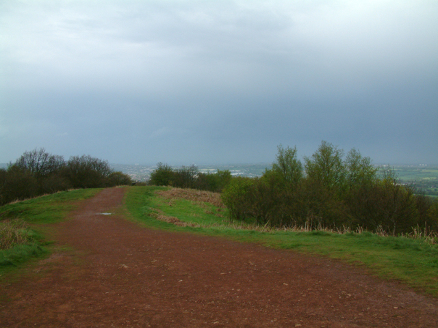
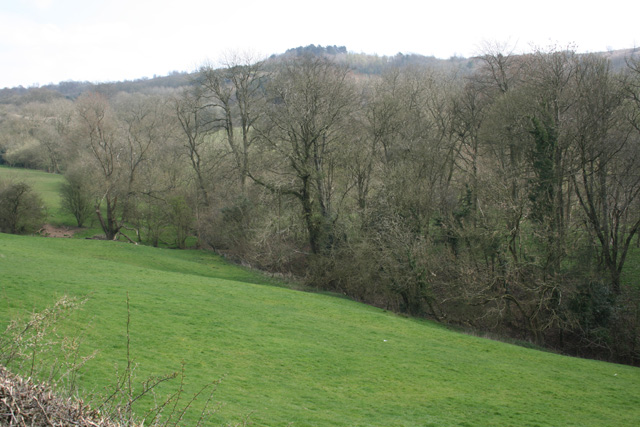
Clent Hill is a prominent landmark located in Worcestershire, England. It is a 1,033-foot (315-meter) hill that forms part of the Clent Hills range, which stretches across several miles of countryside. Situated approximately 10 miles southwest of Birmingham, Clent Hill offers breathtaking panoramic views of the surrounding areas, including Birmingham, the Black Country, and the Malvern Hills.
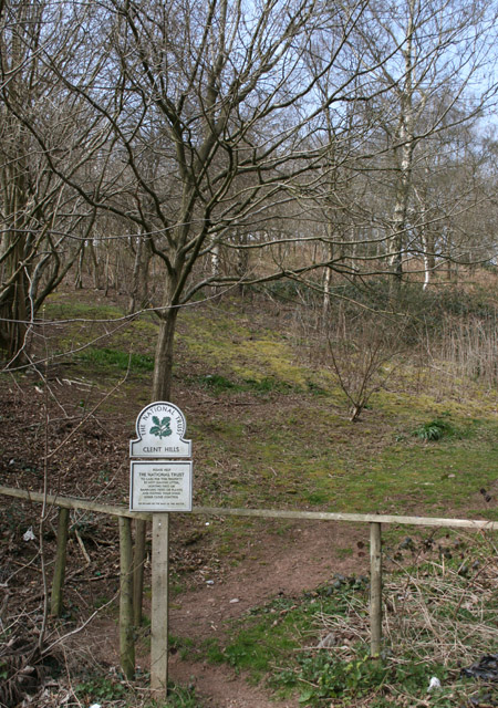
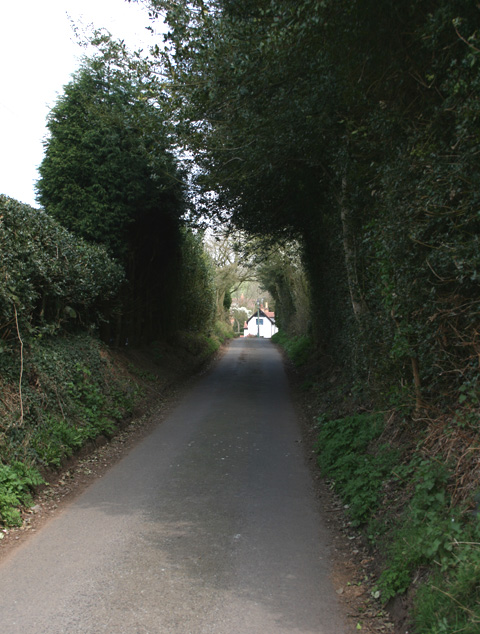
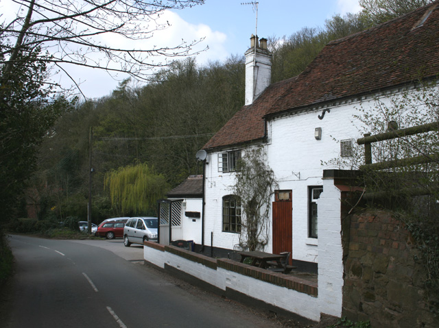
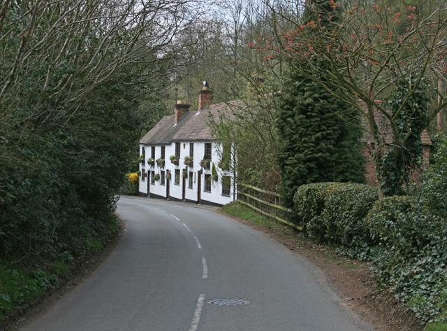
The hill is a popular destination for outdoor enthusiasts, hikers, and nature lovers. It is accessible via a network of footpaths and trails that lead visitors through picturesque woodlands, open fields, and heathlands. The diverse flora and fauna found on Clent Hill make it an ideal spot for wildlife observation and birdwatching, with species such as red kites, buzzards, and skylarks commonly spotted.
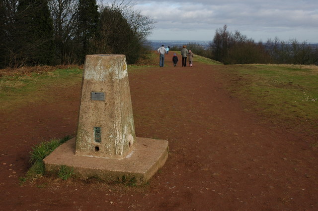
At the summit of Clent Hill, there is a distinctive stone tower known as the Four Stones. This monument was built in the early 18th century and is believed to have served as a navigation marker for local ironworks. Today, it has become an iconic symbol of the area and a popular spot for visitors to take in the stunning vistas.
Clent Hill also holds historical significance, with evidence of Iron Age hillforts and ancient burial mounds found in the vicinity. The hill has been a cherished site for generations of locals and continues to be a beloved destination for recreation and relaxation. Whether it's for a leisurely stroll, a challenging hike, or simply enjoying the natural beauty, Clent Hill offers a serene escape from the hustle and bustle of urban life.
If you have any feedback on the listing, please let us know in the comments section below.
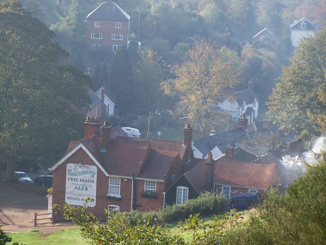
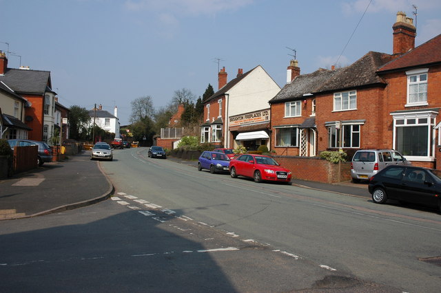
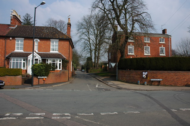
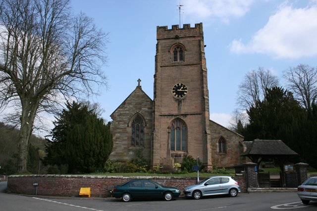
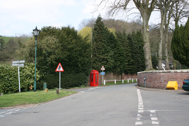
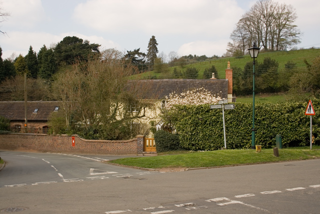
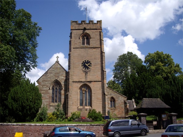
Clent Hill Images
Images are sourced within 2km of 52.420955/-2.098902 or Grid Reference SO9380. Thanks to Geograph Open Source API. All images are credited.
Clent Hill is located at Grid Ref: SO9380 (Lat: 52.420955, Lng: -2.098902)
Administrative County: Worcestershire
District: Bromsgrove
Police Authority: West Mercia
What 3 Words
///galaxy.stored.tour. Near Hagley, Worcestershire
Nearby Locations
Related Wikis

Castle in Hagley Park
The folly castle in the park of Hagley Hall is a Grade II* listed building and the largest building in Hagley Park. It was designed by Sanderson Miller...

Sunfield Children's Home
Sunfield is a Private special school, Children's Home and charity on the border of Worcestershire and the West Midlands in England. It was founded in 1930...

Clent Hills
The Clent Hills lie 10 miles (16 km) south-west of Birmingham city centre in Clent, Worcestershire, England. The closest towns are Stourbridge and Halesowen...

Walton Hill
At 316 metres (1,037 ft) above sea level, Walton Hill is the highest point in the range of hills in northern Worcestershire known as the Clent Hills. It...

Clent Castle
Clent Castle is a sham ruin castellated folly in the grounds of Clent Grove (the site of Sunfield Children's Home) that is situated opposite the Fountain...

Hagley Park, Worcestershire
Hagley Park is the estate of Hagley Hall in Worcestershire, England. The grounds comprise 350 acres (1.4 km2) of undulating deer park on the lower slopes...

Clent
Clent is a village and civil parish in the Bromsgrove District of Worcestershire, England, southwest of Birmingham and close to the edge of the West Midlands...

Hagley
Hagley is a large village and civil parish in Worcestershire, England. It is on the boundary of the West Midlands and Worcestershire counties between the...
Related Videos

THE BEST HIKE FOR BEGINNERS | CLENT HILLS | West Midlands
Me and my mate Osman linked up for a visit to the Client Hills. We wanted to do a local trek/walk and this was perfect. An area of ...

#birmingham #adventure #hiking #diversity #forestbathing #wegooutsidetoo
nationaltrustcharity @ForestryEngland.


Walking Into Dark Forest In Rain & Wind - Evening Walk Through The Woods - Virtual Trail Hike
Trail walk in the woods with umbrella on rainy, misty and windy summer evening at the Clent Hills Country Park, England, UK.
Nearby Amenities
Located within 500m of 52.420955,-2.098902Have you been to Clent Hill?
Leave your review of Clent Hill below (or comments, questions and feedback).