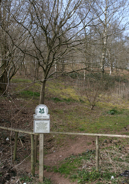
Clent Hills

Heritage Site in Worcestershire Bromsgrove

England

Clent Hills

Path towards the Nimmings Plantation
Path towards the Nimmings Plantation Credit: Mat Fascione

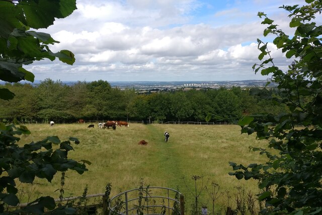
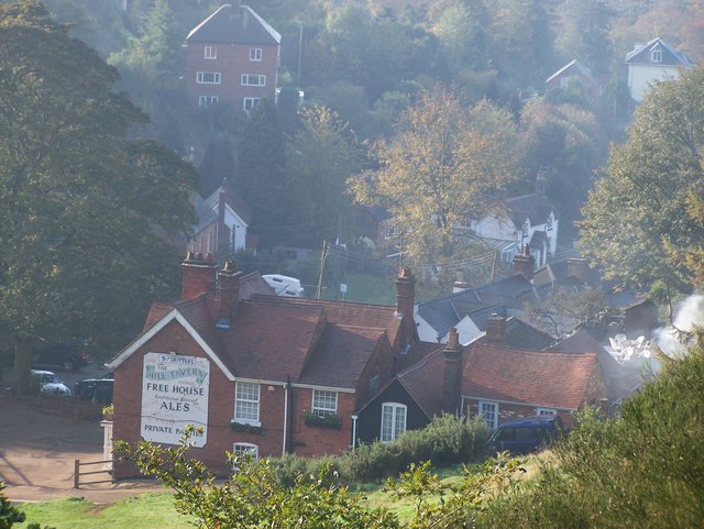
Clent Hills is a picturesque area located in the county of Worcestershire, England. This heritage site is renowned for its natural beauty and historical significance. The hills themselves form part of the Clent and Walton Hills Site of Special Scientific Interest (SSSI), which covers an area of approximately 180 hectares.

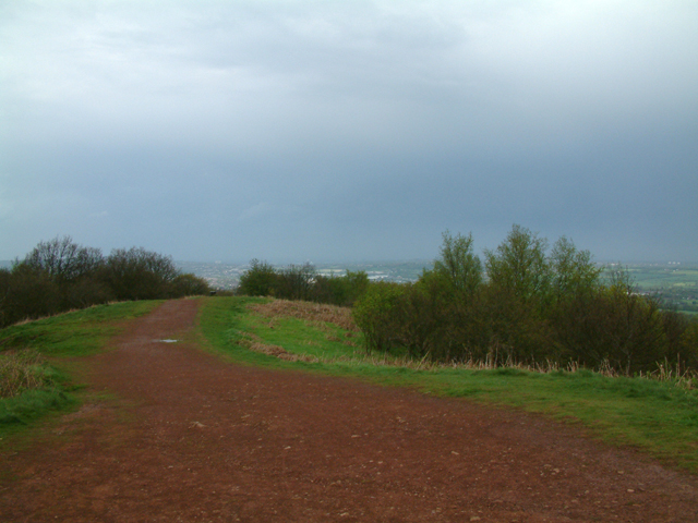
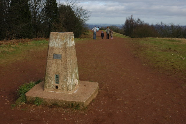
The Clent Hills, standing at an elevation of 315 meters, offer breathtaking panoramic views of the surrounding countryside. Comprised of a mixture of heathland, woodland, and grassland, the area boasts a diverse range of flora and fauna. Visitors can explore the numerous walking trails that wind their way through the hills, providing opportunities for both leisurely strolls and more challenging hikes.

In addition to its natural attributes, Clent Hills holds historical importance. The site contains evidence of human activity dating back to the Bronze Age, with the remains of ancient burial mounds still visible today. Furthermore, the hills were once part of the hunting grounds of the Earls of Dudley, and remnants of the former estate, including a preserved icehouse, can be found within the area.

Clent Hills is a popular destination for outdoor enthusiasts, offering a range of recreational activities such as picnicking, dog walking, and bird watching. The site is also home to a visitor center, where guests can learn more about the history and ecology of the hills. With its stunning scenery and rich heritage, Clent Hills is a must-visit location for nature lovers and history enthusiasts alike.

If you have any feedback on the listing, please let us know in the comments section below.
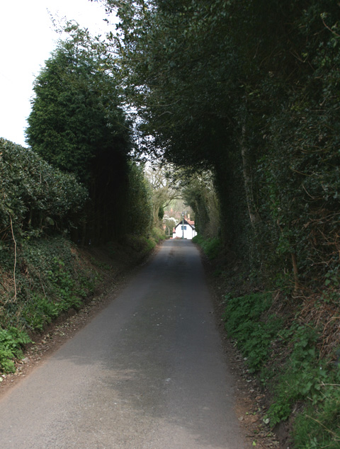
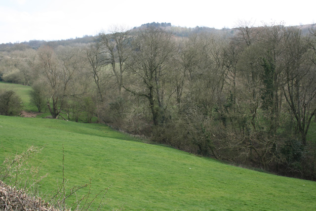
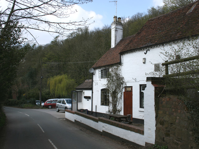
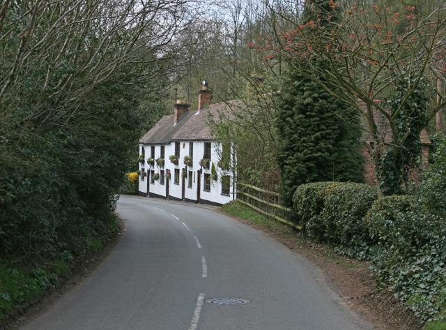
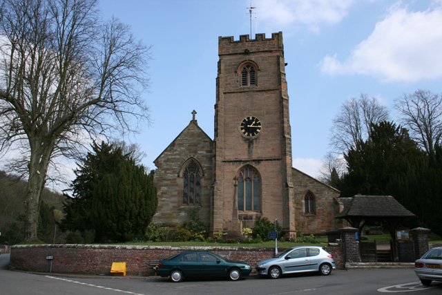
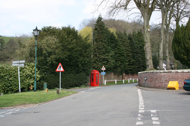
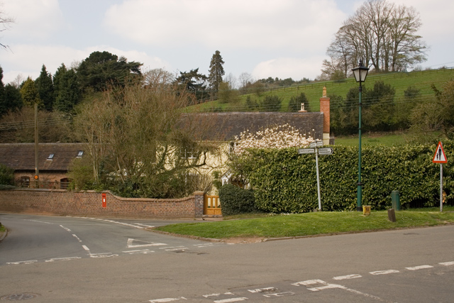
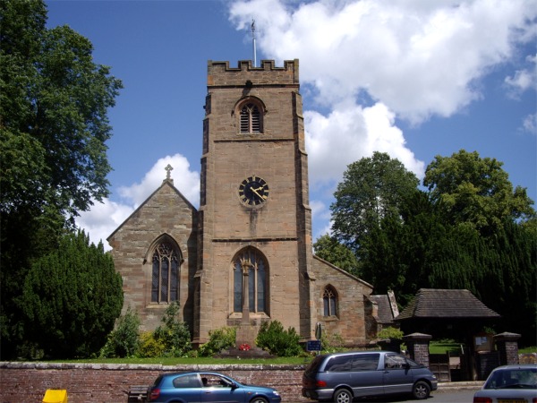
Clent Hills Images

Images are sourced within 2km of 52.421/-2.101 or Grid Reference SO9380. Thanks to Geograph Open Source API. All images are credited.

Path towards the Nimmings Plantation
Walton Hill Path along the summit ridge of Walton Hill, highest (315 metres above sea level) of the Clent Hills.
Walton Hill
Path along the summit ridge of Walton Hill, highest (315 metres above sea level) of the Clent Hills.
Bell and Cross, Holy Cross, Clent Classic four roomed pub with open fires - Banks's plus guest beers
Bell and Cross, Holy Cross, Clent
Classic four roomed pub with open fires - Banks's plus guest beers
Holy Cross Looking along Holy Cross Green. The side of the Bell & Cross pub is opposite the cottages.
Holy Cross
Looking along Holy Cross Green. The side of the Bell & Cross pub is opposite the cottages.
Adams Hill - Clent Adams Hill is situated at the foot of the Clent Hills. This side of Clent is the 'Tourist' side where visitors can stop at one of the pubs or restaurants.  The photo has been taken looking south to the 'Hill Tavern' and village.  The road still has evidence of the past in the form of an old gas lantern street light (unfortunately not in working condition) that can be found towards the top of the road just below the Four Stones restaurant.
Adams Hill - Clent
Adams Hill is situated at the foot of the Clent Hills. This side of Clent is the 'Tourist' side where visitors can stop at one of the pubs or restaurants. The photo has been taken looking south to the 'Hill Tavern' and village. The road still has evidence of the past in the form of an old gas lantern street light (unfortunately not in working condition) that can be found towards the top of the road just below the Four Stones restaurant.
Holy Cross near Clent
Pathway to Clent Hills Just outside the village of Clent
Pathway to Clent Hills
Just outside the village of Clent
Cottage at Walton Pool South West of Clent Village
Cottage at Walton Pool
South West of Clent Village
Looking towards Walton Hill, near Clent
Vine Inn Edge of Clent village
Vine Inn
Edge of Clent village
Cottages in Clent Near the Vine Inn on the road to St Kenelm's Church and Romsley
Cottages in Clent
Near the Vine Inn on the road to St Kenelm's Church and Romsley
St Leonards Church, Clent
Clent Village Green Outside St Leonard's Church
Clent Village Green
Outside St Leonard's Church
Clent Village Green looking towards Lower Clent
Parish Church of St Leonards, Clent
Trig point on Walton Hill The trig point on Walton Hill is 315m above sea level.
Trig point on Walton Hill
The trig point on Walton Hill is 315m above sea level.
Horses and houses in Clent Horses in a paddock below some houses at the foot of the Clent Hills. Viewed from a footpath to the south-east of Clent church.
Horses and houses in Clent
Horses in a paddock below some houses at the foot of the Clent Hills. Viewed from a footpath to the south-east of Clent church.
Show me another place!

Clent Hills is located at Grid Ref: SO9380 (Lat: 52.421, Lng: -2.101)

Administrative County: Worcestershire

District: Bromsgrove

Police Authority: West Mercia

What 3 Words

///couch.blunt.bossy. Near Hagley, Worcestershire

Related Wikis

Castle in Hagley Park

The folly castle in the park of Hagley Hall is a Grade II* listed building and the largest building in Hagley Park. It was designed by Sanderson Miller...

Sunfield Children's Home

Sunfield is a Private special school, Children's Home and charity on the border of Worcestershire and the West Midlands in England. It was founded in 1930...

Hagley Park, Worcestershire

Hagley Park is the estate of Hagley Hall in Worcestershire, England. The grounds comprise 350 acres (1.4 km2) of undulating deer park on the lower slopes...

Clent Castle

Clent Castle is a sham ruin castellated folly in the grounds of Clent Grove (the site of Sunfield Children's Home) that is situated opposite the Fountain...
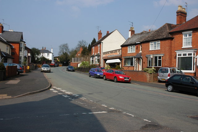
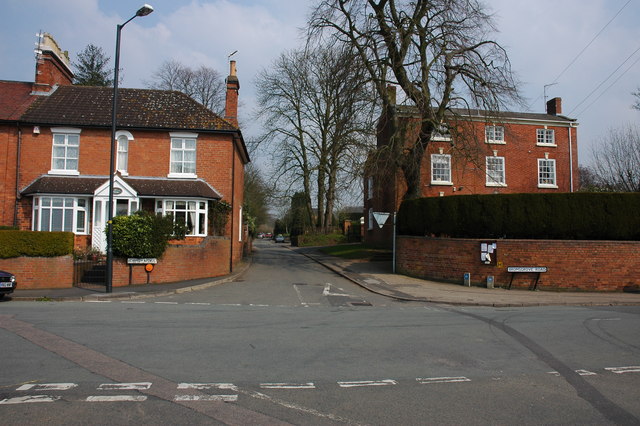
Clent

Clent is a village and civil parish in the Bromsgrove District of Worcestershire, England, southwest of Birmingham and close to the edge of the West Midlands...

Clent Hills

The Clent Hills lie 10 miles (16 km) south-west of Birmingham city centre in Clent, Worcestershire, England. The closest towns are Stourbridge and Halesowen...

Walton Hill

At 316 metres (1,037 ft) above sea level, Walton Hill is the highest point in the range of hills in northern Worcestershire known as the Clent Hills. It...

Hagley

Hagley is a large village and civil parish in Worcestershire, England. It is on the boundary of the West Midlands and Worcestershire counties between the...

Nearby Amenities

Located within 500m of 52.421,-2.101
Bench
Backrest: no
Source: survey
Lat/Long: 52.4212869/-2.0985514
Bench
Backrest: no
Source: survey
Lat/Long: 52.4211186/-2.0989121
Tourism: viewpoint
Lat/Long: 52.4206939/-2.0988969
Bench
Source: survey
Lat/Long: 52.4215247/-2.0999307
Bench
Source: survey
Lat/Long: 52.4220962/-2.0986323
Clent Hill - The Four Stones
Ele: 304
Natural: peak
Lat/Long: 52.4207518/-2.0988938
Tourism: viewpoint
Lat/Long: 52.4210738/-2.1011436
Barrier: stile
Foot: yes
Lat/Long: 52.418576/-2.1032013
Four Stones
Historic: monument
Lat/Long: 52.4209415/-2.09894
Grit Bin
Ref: 282
Lat/Long: 52.4187524/-2.0949179
The data included in this document is from www.openstreetmap.org. The data is made available under ODbL.

Have you been to Clent Hills?

Leave your review of Clent Hills below (or comments, questions and feedback).