Nimmings Plantation

Wood, Forest in Worcestershire Bromsgrove

England

Nimmings Plantation

Walton Hill Path along the summit ridge of Walton Hill, highest (315 metres above sea level) of the Clent Hills.
Walton Hill Credit: Stephen Dawson

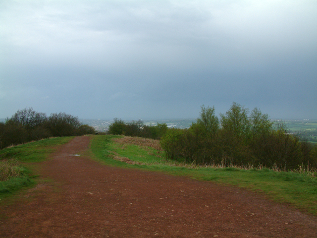
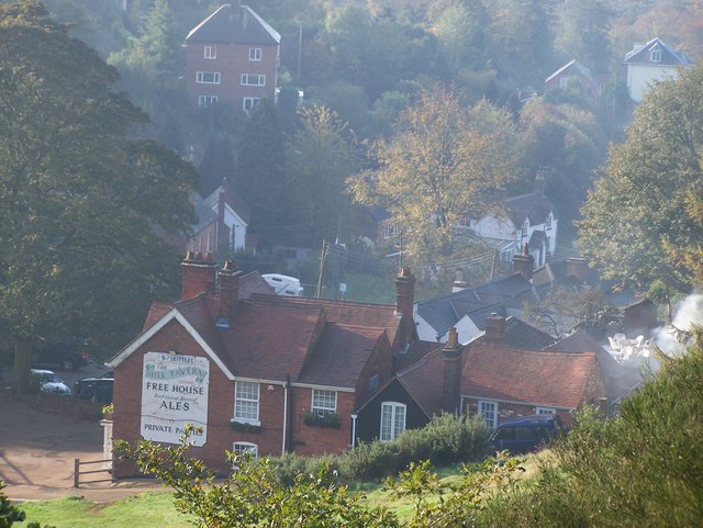
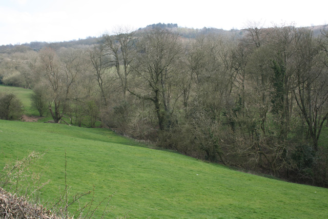
Nimmings Plantation is a picturesque woodland located in Worcestershire, England. Situated in the heart of the county, it forms a part of the wider Clent Hills, a popular destination for outdoor enthusiasts and nature lovers. Spanning over a vast area, Nimmings Plantation is known for its dense and diverse woodland, making it an ideal location for a tranquil escape.

The plantation is predominantly composed of deciduous trees, including oak, birch, beech, and ash. These towering trees create a dense canopy, providing a habitat for a variety of wildlife such as birds, squirrels, and deer. The forest floor is covered in a thick carpet of moss and ferns, adding to the enchanting atmosphere of the woodland.

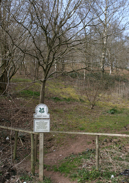
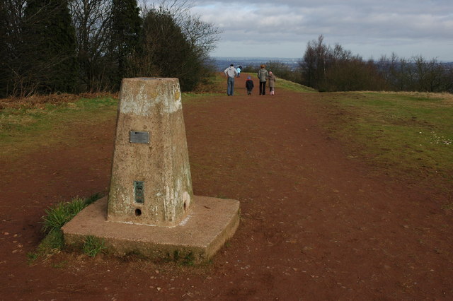
Several well-marked walking trails wind their way through Nimmings Plantation, allowing visitors to explore its natural beauty at their own pace. These trails offer breathtaking views of the surrounding countryside and provide opportunities for birdwatching and photography. Additionally, the plantation is a popular spot for recreational activities such as jogging, dog walking, and family picnics.

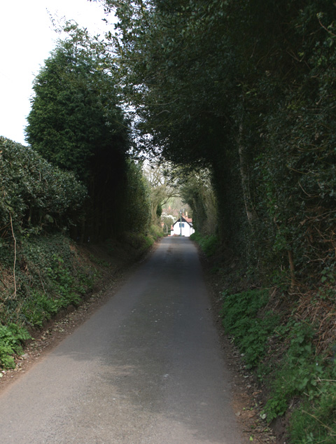
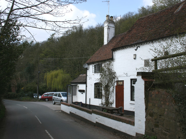
Nimmings Plantation is easily accessible, with ample parking facilities available nearby. The woodland is also well-maintained, with regular conservation efforts and tree management activities to preserve its ecological balance.

Overall, Nimmings Plantation in Worcestershire offers a serene and idyllic setting for individuals seeking to immerse themselves in nature. Its stunning woodland, diverse wildlife, and well-maintained trails make it a must-visit destination for both locals and tourists alike.

If you have any feedback on the listing, please let us know in the comments section below.

Nimmings Plantation Images

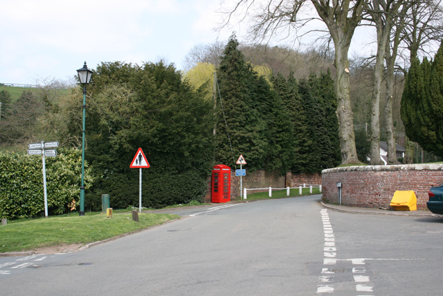
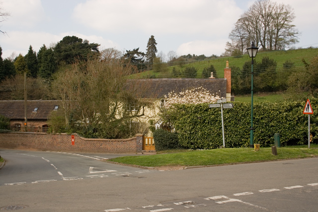
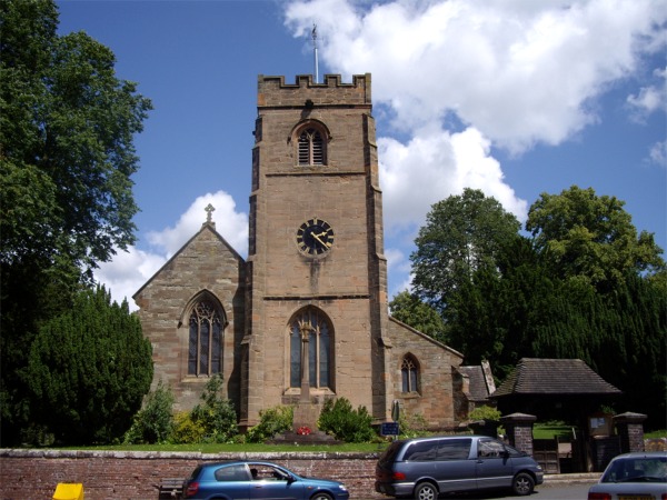
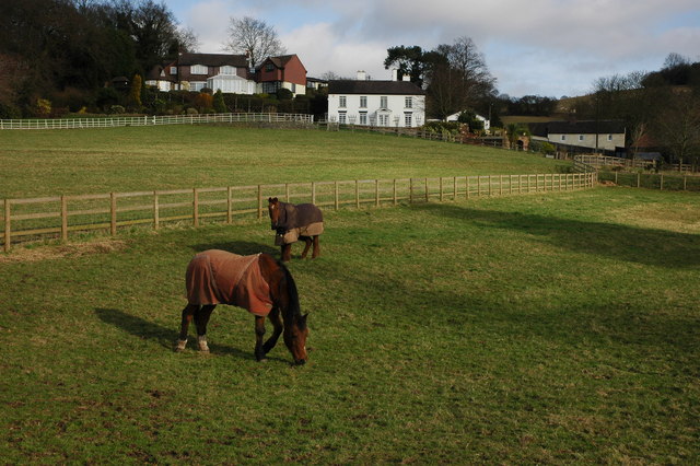
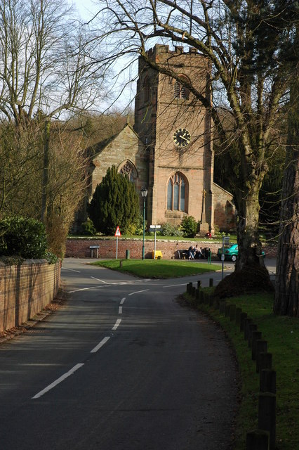
Images are sourced within 2km of 52.425164/-2.0967938 or Grid Reference SO9380. Thanks to Geograph Open Source API. All images are credited.

Walton Hill Path along the summit ridge of Walton Hill, highest (315 metres above sea level) of the Clent Hills.
Walton Hill
Path along the summit ridge of Walton Hill, highest (315 metres above sea level) of the Clent Hills.
Adams Hill - Clent Adams Hill is situated at the foot of the Clent Hills. This side of Clent is the 'Tourist' side where visitors can stop at one of the pubs or restaurants.  The photo has been taken looking south to the 'Hill Tavern' and village.  The road still has evidence of the past in the form of an old gas lantern street light (unfortunately not in working condition) that can be found towards the top of the road just below the Four Stones restaurant.
Adams Hill - Clent
Adams Hill is situated at the foot of the Clent Hills. This side of Clent is the 'Tourist' side where visitors can stop at one of the pubs or restaurants. The photo has been taken looking south to the 'Hill Tavern' and village. The road still has evidence of the past in the form of an old gas lantern street light (unfortunately not in working condition) that can be found towards the top of the road just below the Four Stones restaurant.
Pathway to Clent Hills Just outside the village of Clent
Pathway to Clent Hills
Just outside the village of Clent
Cottage at Walton Pool South West of Clent Village
Cottage at Walton Pool
South West of Clent Village
Looking towards Walton Hill, near Clent
Vine Inn Edge of Clent village
Vine Inn
Edge of Clent village
Cottages in Clent Near the Vine Inn on the road to St Kenelm's Church and Romsley
Cottages in Clent
Near the Vine Inn on the road to St Kenelm's Church and Romsley
St Leonards Church, Clent
Clent Village Green Outside St Leonard's Church
Clent Village Green
Outside St Leonard's Church
Clent Village Green looking towards Lower Clent
Parish Church of St Leonards, Clent
Trig point on Walton Hill The trig point on Walton Hill is 315m above sea level.
Trig point on Walton Hill
The trig point on Walton Hill is 315m above sea level.
Horses and houses in Clent Horses in a paddock below some houses at the foot of the Clent Hills. Viewed from a footpath to the south-east of Clent church.
Horses and houses in Clent
Horses in a paddock below some houses at the foot of the Clent Hills. Viewed from a footpath to the south-east of Clent church.
Clent Church Clent church is dedicated to St Leonard; it stands on a crossroads at the foot of the Clent Hills.
Clent Church
Clent church is dedicated to St Leonard; it stands on a crossroads at the foot of the Clent Hills.
Clent Church The perpendicular tower of Clent church. The War Memorial stands immediately in front of the tower.
Clent Church
The perpendicular tower of Clent church. The War Memorial stands immediately in front of the tower.
War Memorial, Clent The War Memorial in Clent stands in the churchyard in front of the church tower.
War Memorial, Clent
The War Memorial in Clent stands in the churchyard in front of the church tower.
House on Walton Hill The house is situated high on Walton Hill beside the North Worcestershire Way.
House on Walton Hill
The house is situated high on Walton Hill beside the North Worcestershire Way.
Walton Hill The eastern slopes of Walton Hill. The North Worcestershire Way follows the hedge on the left at the top of the field.
Walton Hill
The eastern slopes of Walton Hill. The North Worcestershire Way follows the hedge on the left at the top of the field.
Show me another place!

Nimmings Plantation is located at Grid Ref: SO9380 (Lat: 52.425164, Lng: -2.0967938)

Administrative County: Worcestershire

District: Bromsgrove

Police Authority: West Mercia

What 3 Words

///police.simply.belong. Near Hagley, Worcestershire

Related Wikis

Related Videos

THE BEST HIKE FOR BEGINNERS | CLENT HILLS | West Midlands

Me and my mate Osman linked up for a visit to the Client Hills. We wanted to do a local trek/walk and this was perfect. An area of ...

Walking Into Dark Forest In Rain & Wind - Evening Walk Through The Woods - Virtual Trail Hike

Trail walk in the woods with umbrella on rainy, misty and windy summer evening at the Clent Hills Country Park, England, UK.

Nearby Amenities

Located within 500m of 52.425164,-2.0967938
Bench
Backrest: no
Source: survey
Lat/Long: 52.4212869/-2.0985514
Bench
Backrest: no
Source: survey
Lat/Long: 52.4211186/-2.0989121
Bench
Source: survey
Lat/Long: 52.4215247/-2.0999307
Bench
Source: survey
Lat/Long: 52.4220962/-2.0986323
Barrier: stile
Foot: yes
Source: survey
Lat/Long: 52.424845/-2.0906569
Adams Hill
Natural: peak
Lat/Long: 52.4224665/-2.0945898
Four Stones
Historic: monument
Lat/Long: 52.4209415/-2.09894
Cafe
Nimmings Wood NT Cafe
Lat/Long: 52.4248162/-2.0934749
Barrier: kissing_gate
Lat/Long: 52.4272842/-2.0954183
Barrier: stile
Lat/Long: 52.4273319/-2.0955615
Barrier: stile
Bicycle: no
Foot: yes
Horse: no
Motor Vehicle: no
Lat/Long: 52.4264072/-2.1000761
Barrier: stile
Bicycle: no
Foot: yes
Horse: no
Motor Vehicle: no
Lat/Long: 52.4271256/-2.0980666
Toilets
Lat/Long: 52.424766/-2.0935327
Bicycle Parking
Bicycle Parking: wall_loops
Capacity: 4
Lat/Long: 52.4248726/-2.0932992
Bicycle Parking
Bicycle Parking: wall_loops
Capacity: 4
Lat/Long: 52.4248341/-2.0932348
Barrier: kissing_gate
Lat/Long: 52.425016/-2.0934859
The data included in this document is from www.openstreetmap.org. The data is made available under ODbL.

Have you been to Nimmings Plantation?

Leave your review of Nimmings Plantation below (or comments, questions and feedback).