Summerhill Wood

Wood, Forest in Worcestershire Wychavon

England

Summerhill Wood

Ordnance Survey Bench Mark This mark is located on railway bridge number 37 that spans the Worcester to Birmingham canal. These marks were used by Ordnance Survey for mapping purposes.
<a href="https://www.geograph.org.uk/photo/6961993">SO9263 : Bridge 37, Worcester to Birmingham canal</a>
Ordnance Survey Bench Mark Credit: V1ncenze

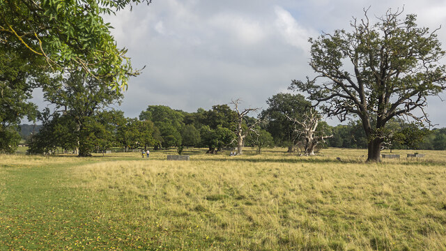
Summerhill Wood is a picturesque forest located in Worcestershire, England. Spanning approximately 100 acres, this wood is a popular destination for nature enthusiasts and those seeking tranquility amidst lush greenery. The wood is situated on the outskirts of the village of Summerhill, which is known for its idyllic countryside setting.

Summerhill Wood boasts a diverse range of tree species, including oak, beech, and ash, which provide a rich and vibrant canopy throughout the year. The forest floor is carpeted with an array of wildflowers, creating a colorful and enchanting sight, especially during the spring and summer months.

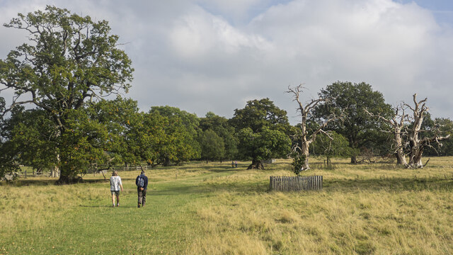
The wood offers a variety of walking trails and paths that wind through its dense foliage, allowing visitors to explore and immerse themselves in the natural beauty of the surroundings. These paths cater to different levels of fitness and are suitable for leisurely strolls or more vigorous hikes.

Wildlife thrives in Summerhill Wood, making it a haven for animal lovers and birdwatchers. Deer, foxes, and squirrels can often be spotted, while a variety of bird species, including woodpeckers and owls, can be heard and observed in their natural habitat.

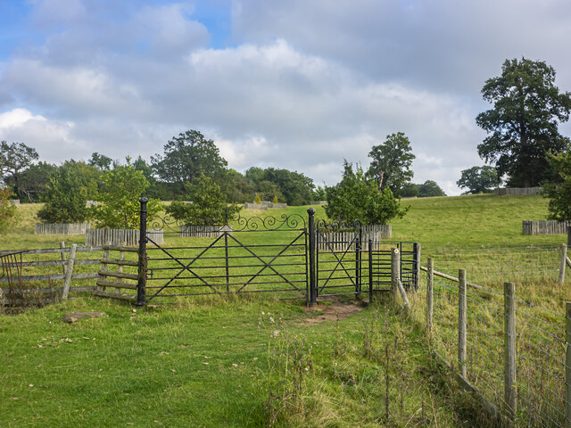
The wood is well-maintained, with designated picnic areas and benches strategically placed throughout, providing visitors with the opportunity to relax and enjoy a picnic amidst the tranquil ambiance. Additionally, there are information boards and signs that educate visitors about the flora and fauna found in the wood, enhancing the overall experience.

Overall, Summerhill Wood offers a serene and immersive experience in nature, making it a must-visit destination for those seeking solace and a deep connection with the natural world.

If you have any feedback on the listing, please let us know in the comments section below.

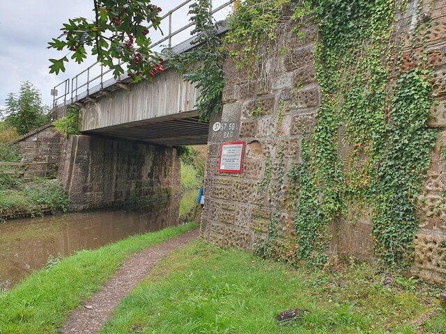
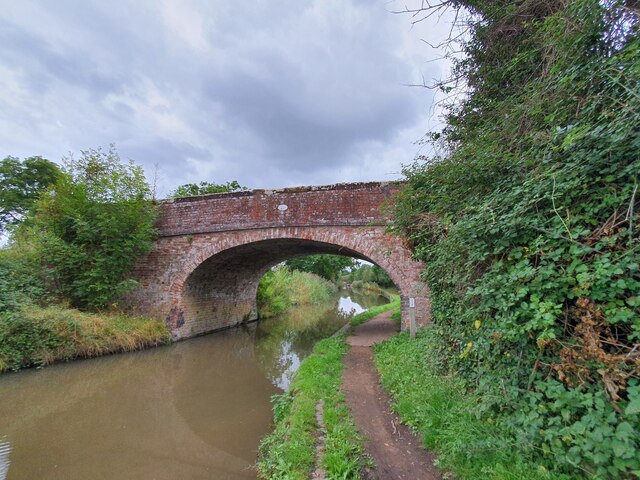
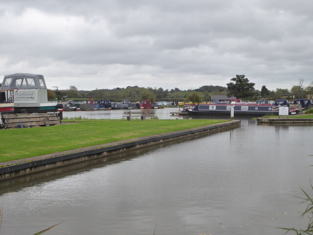
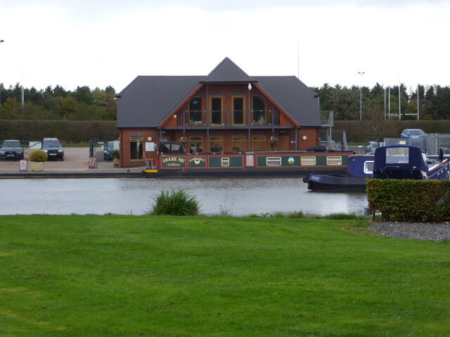
Summerhill Wood Images

Images are sourced within 2km of 52.272233/-2.0964594 or Grid Reference SO9363. Thanks to Geograph Open Source API. All images are credited.

Ordnance Survey Bench Mark This mark is located on railway bridge number 37 that spans the Worcester to Birmingham canal. These marks were used by Ordnance Survey for mapping purposes.
<a href="https://www.geograph.org.uk/photo/6961993">SO9263 : Bridge 37, Worcester to Birmingham canal</a>
Ordnance Survey Bench Mark
This mark is located on railway bridge number 37 that spans the Worcester to Birmingham canal. These marks were used by Ordnance Survey for mapping purposes. SO9263 : Bridge 37, Worcester to Birmingham canal
Bridge 37, Worcester to Birmingham canal This railway bridge spans the Worcester to Birmingham canal. This bridge also has an Ordnance Survey bench mark.
<a href="https://www.geograph.org.uk/photo/6961985">SO9263 : Ordnance Survey Bench Mark</a>
Bridge 37, Worcester to Birmingham canal
This railway bridge spans the Worcester to Birmingham canal. This bridge also has an Ordnance Survey bench mark. SO9263 : Ordnance Survey Bench Mark
Bridge 38 Worcester to Birmingham Canal This bridge spans the Worcester to Birmingham canal. The bridge also has an Ordnance Survey bench mark.
<a href="https://www.geograph.org.uk/photo/6962010">SO9363 : Ordnance Survey Bench Mark</a>
Bridge 38 Worcester to Birmingham Canal
This bridge spans the Worcester to Birmingham canal. The bridge also has an Ordnance Survey bench mark. SO9363 : Ordnance Survey Bench Mark
Ordnance Survey Bench Mark This mark is located on bridge number 38 which spans the Worcester to Birmingham canal. These marks were used by Ordnance Survey for mapping purposes.
<a href="https://www.geograph.org.uk/photo/6962006">SO9363 : Bridge 38 Worcester to Birmingham Canal</a>
Ordnance Survey Bench Mark
This mark is located on bridge number 38 which spans the Worcester to Birmingham canal. These marks were used by Ordnance Survey for mapping purposes. SO9363 : Bridge 38 Worcester to Birmingham Canal
Replacement Milestone, B4090, Salt Way, 20m West of Junction with Goosehill Lane The milestone is located on the verge by drive to farm on the north side of road. Parish of Hanbury (Wychavon District). Metal plate attached to concrete post, Bradley post design, erected by the County Council in the 21st century. Replacement milestone produced by the Milestone Society Worcestershire group in 2008.

Inscription reads:-
B4090 / ALCESTER 11¾ / 2 DROITWICH. / C.C.W.

Milestone Society National ID: WO_DWAC02R
Replacement Milestone, B4090, Salt Way, 20m West of Junction with Goosehill Lane
The milestone is located on the verge by drive to farm on the north side of road. Parish of Hanbury (Wychavon District). Metal plate attached to concrete post, Bradley post design, erected by the County Council in the 21st century. Replacement milestone produced by the Milestone Society Worcestershire group in 2008. Inscription reads:- B4090 / ALCESTER 11¾ / 2 DROITWICH. / C.C.W. Milestone Society National ID: WO_DWAC02R
NT Hanbury Hall View across the autumnal formal garden towards the South-west facade.
NT Hanbury Hall
View across the autumnal formal garden towards the South-west facade.
Still Life at Hanbury An autumnal display near the entrance to Hanbury Hall.
Still Life at Hanbury
An autumnal display near the entrance to Hanbury Hall.
Dahlia display Within the walled garden at Hanbury Hall.
Dahlia display
Within the walled garden at Hanbury Hall.
A walk in the park A fine autumn afternoon at NT Hanbury Hall.
A walk in the park
A fine autumn afternoon at NT Hanbury Hall.
Hanbury Hall parkland A fine walk around the park at NT Hanbury Hall.
Hanbury Hall parkland
A fine walk around the park at NT Hanbury Hall.
Hanbury Hall parkland There are several dead skeletal oaks within the estate.
Hanbury Hall parkland
There are several dead skeletal oaks within the estate.
Gate on the estate A fine piece of ironwork on a public path through the NT Hanbury Hall estate.
Gate on the estate
A fine piece of ironwork on a public path through the NT Hanbury Hall estate.
Skeletal oaks at Hanbury There are several dead skeletal oaks within the estate.
Skeletal oaks at Hanbury
There are several dead skeletal oaks within the estate.
The parterre garden at Hanbury Hall A recreation of the garden designed by George London in 1705.
The parterre garden at Hanbury Hall
A recreation of the garden designed by George London in 1705.
Hanbury Hall National Trust property in Worcestershire built in 1701.
Hanbury Hall
National Trust property in Worcestershire built in 1701.
Droitwich Spa Marina  Accessed from the Droitwich Junction Canal in the foreground.
Droitwich Spa Marina
Accessed from the Droitwich Junction Canal in the foreground.
Droitwich Spa Marina  Accessed from the Droitwich Junction Canal seen in the foreground.
Droitwich Spa Marina
Accessed from the Droitwich Junction Canal seen in the foreground.
Droitwich Spa Marina Alongside the Droitwich Junction Canal.
Droitwich Spa Marina
Alongside the Droitwich Junction Canal.
Show me another place!

Summerhill Wood is located at Grid Ref: SO9363 (Lat: 52.272233, Lng: -2.0964594)

Administrative County: Worcestershire

District: Wychavon

Police Authority: West Mercia

What 3 Words

///heckler.umbrella.microfilm. Near Wychbold, Worcestershire

Related Wikis

Hanbury Hall

Hanbury Hall is a large 18th-century stately home standing in parkland at Hanbury, Worcestershire. The main range has two storeys and is built of red brick...

Droitwich Road railway station

Droitwich Road railway station served the town of Droitwich Spa, Worcestershire, England, from 1840 to 1855 on the Birmingham and Gloucester Railway....

St Mary the Virgin, Hanbury

The church of St Mary the Virgin is an Anglican parish church in the village of Hanbury, Worcestershire. Its earliest parts date from about 1210 and it...

Mere Green, Worcestershire

Mere Green is a hamlet in the English county of Worcestershire. It is located south of the village of Hanbury roughly midway between Worcester and Redditch...

Dodderhill

Dodderhill is a civil parish, near Droitwich, Worcestershire, England, located on the River Salwarpe. The parish is bisected by the M5 motorway, constructed...

Chateau Impney

Chateau Impney Hotel & Exhibition Centre is a Grade II* listed 19th-century house built in the style of an elaborate French château near Droitwich Spa...

Hadzor

Hadzor is a small village near Droitwich, Worcestershire, England. There are around fourteen houses and a Roman Catholic church in the village, although...

Wychbold

Wychbold is a village in the Wychavon district of Worcestershire. The village is situated on the A38 between Droitwich Spa and Bromsgrove, and by Junction...

Nearby Amenities

Located within 500m of 52.272233,-2.0964594
Summerhill Farm
Power: pole
Transformer: distribution
Voltage Primary: 11000
Lat/Long: 52.2707023/-2.1024891
Power: pole
Lat/Long: 52.2703297/-2.1028432
The data included in this document is from www.openstreetmap.org. The data is made available under ODbL.

Have you been to Summerhill Wood?

Leave your review of Summerhill Wood below (or comments, questions and feedback).