Belt Covert
Wood, Forest in Worcestershire Wychavon
England
Belt Covert
Belt Covert is a picturesque woodland area located in Worcestershire, England. Situated in the heart of the county, it is known for its dense forest cover and natural beauty. Spanning over a significant area, Belt Covert is a popular destination for nature enthusiasts, hikers, and those seeking a tranquil escape from the hustle and bustle of everyday life.
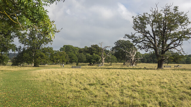
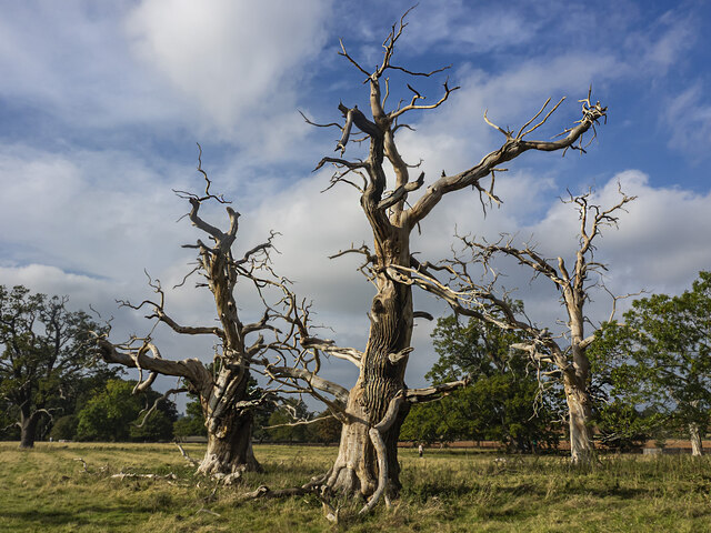
The woodland is characterized by a variety of tree species, including oak, ash, birch, and beech, creating a diverse and vibrant ecosystem. The forest floor is adorned with an array of wildflowers, adding to the area's natural charm. Belt Covert is also home to a rich assortment of wildlife, including deer, foxes, badgers, and a wide variety of bird species, making it an ideal spot for birdwatching and wildlife photography.
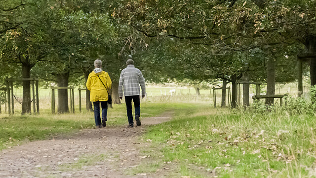
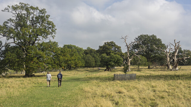
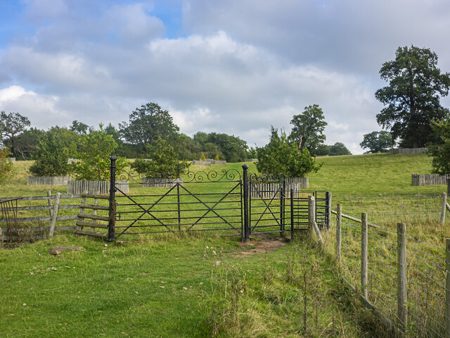
The woodland offers numerous walking trails and paths, allowing visitors to explore the area at their own pace. These trails are well-maintained, making it accessible for people of all ages and abilities. Additionally, there are picnic areas and benches scattered throughout the woodland, providing opportunities for visitors to relax and enjoy the peaceful surroundings.
Belt Covert is a popular destination throughout the year, with each season offering its own unique beauty. In spring, the woodland comes alive with vibrant blossoms and the songs of birds, while autumn paints the trees in a stunning array of warm hues. The woodland is also a haven for photographers, who can capture the ever-changing landscape and its inhabitants.
Overall, Belt Covert is a hidden gem in Worcestershire, offering a slice of unspoiled nature for visitors to enjoy and appreciate.
If you have any feedback on the listing, please let us know in the comments section below.
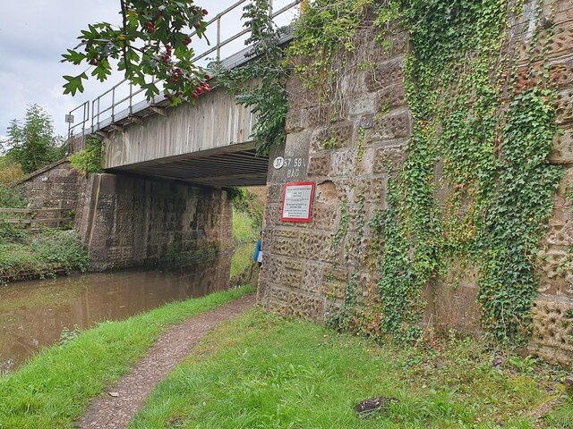
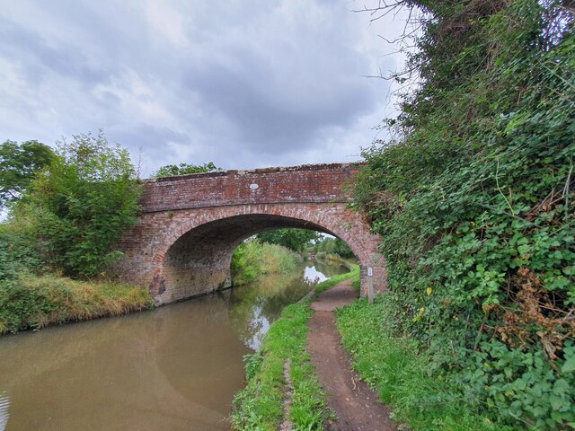
Belt Covert Images
Images are sourced within 2km of 52.269954/-2.0904022 or Grid Reference SO9363. Thanks to Geograph Open Source API. All images are credited.
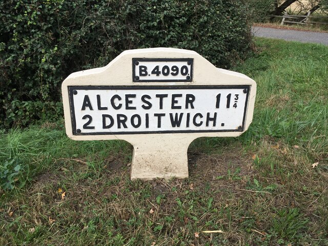


Belt Covert is located at Grid Ref: SO9363 (Lat: 52.269954, Lng: -2.0904022)
Administrative County: Worcestershire
District: Wychavon
Police Authority: West Mercia
What 3 Words
///brimmed.beards.lollipop. Near Wychbold, Worcestershire
Nearby Locations
Related Wikis

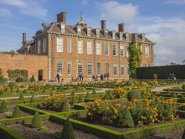
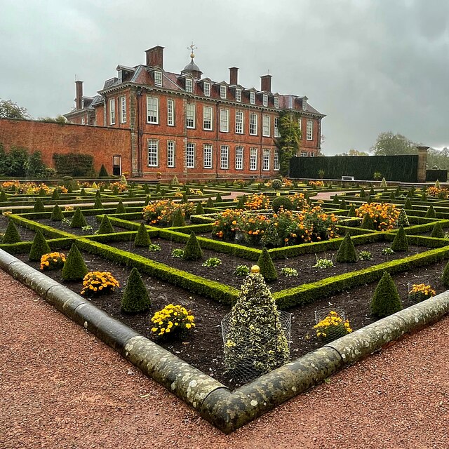
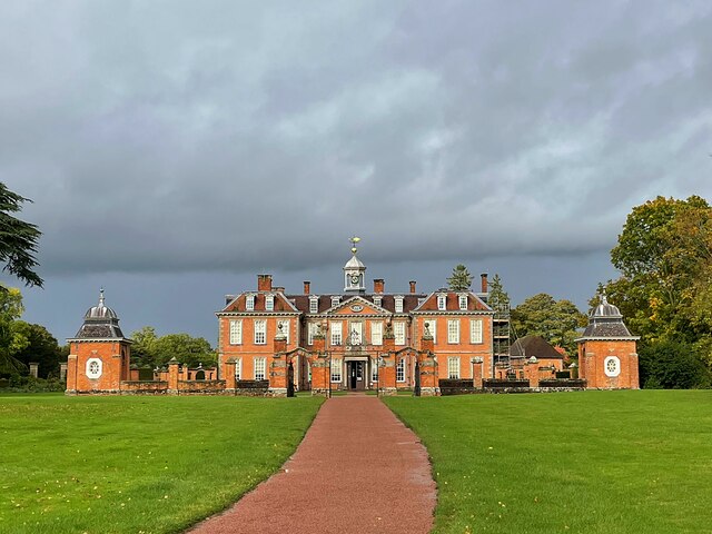
Hanbury Hall
Hanbury Hall is a large 18th-century stately home standing in parkland at Hanbury, Worcestershire. The main range has two storeys and is built of red brick...

Droitwich Road railway station
Droitwich Road railway station served the town of Droitwich Spa, Worcestershire, England, from 1840 to 1855 on the Birmingham and Gloucester Railway....
Mere Green, Worcestershire
Mere Green is a hamlet in the English county of Worcestershire. It is located south of the village of Hanbury roughly midway between Worcester and Redditch...

St Mary the Virgin, Hanbury
The church of St Mary the Virgin is an Anglican parish church in the village of Hanbury, Worcestershire. Its earliest parts date from about 1210 and it...

Hanbury, Worcestershire
Hanbury is a rural village in Worcestershire, England near Droitwich Spa and the M5 motorway. The population of Hanbury has remained around 1,000 since...

Hadzor
Hadzor is a small village near Droitwich, Worcestershire, England. There are around fourteen houses and a Roman Catholic church in the village, although...

Dodderhill
Dodderhill is a civil parish, near Droitwich, Worcestershire, England, located on the River Salwarpe. The parish is bisected by the M5 motorway, constructed...

Chateau Impney
Chateau Impney Hotel & Exhibition Centre is a Grade II* listed 19th-century house built in the style of an elaborate French château near Droitwich Spa...
Nearby Amenities
Located within 500m of 52.269954,-2.0904022Have you been to Belt Covert?
Leave your review of Belt Covert below (or comments, questions and feedback).