Fourstones Covert

Wood, Forest in Worcestershire Bromsgrove

England

Fourstones Covert

Path towards the Nimmings Plantation
Path towards the Nimmings Plantation Credit: Mat Fascione

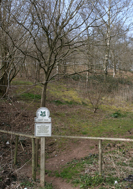
Fourstones Covert is a picturesque woodland located in Worcestershire, England. Situated in the heart of the county, this enchanting forest covers an area of approximately 100 acres and is known for its diverse range of flora and fauna.

The woodland is predominantly composed of mature oak and beech trees, creating a dense and lush canopy that provides a haven for various species of wildlife. Visitors can expect to encounter an array of birds, including woodpeckers, owls, and rare migratory species. Small mammals such as foxes, badgers, and squirrels can also be spotted throughout the forest.

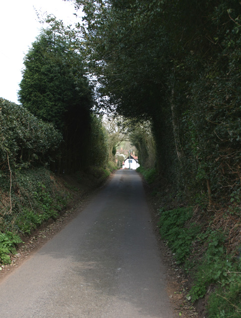
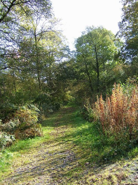
Fourstones Covert offers a tranquil escape from the hustle and bustle of urban life. Its well-maintained footpaths and trails allow visitors to explore the woodland at their own pace. Nature enthusiasts can immerse themselves in the peaceful surroundings, taking in the sights, sounds, and scents of the forest. The forest floor is adorned with an array of wildflowers, creating a carpet of vibrant colors during the spring and summer months.

The woodland is also home to several natural ponds, providing a habitat for amphibians and aquatic plants. These serene bodies of water add to the overall beauty of Fourstones Covert, attracting visitors looking to relax and enjoy the tranquility of nature.

Overall, Fourstones Covert is a hidden gem in Worcestershire, offering a unique opportunity to escape into the wilderness and connect with the natural world. Its diverse ecosystem and stunning landscapes make it a must-visit destination for nature lovers and those seeking a peaceful retreat.

If you have any feedback on the listing, please let us know in the comments section below.

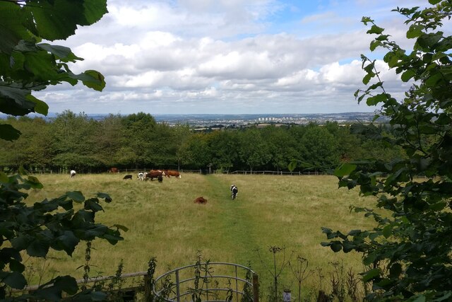
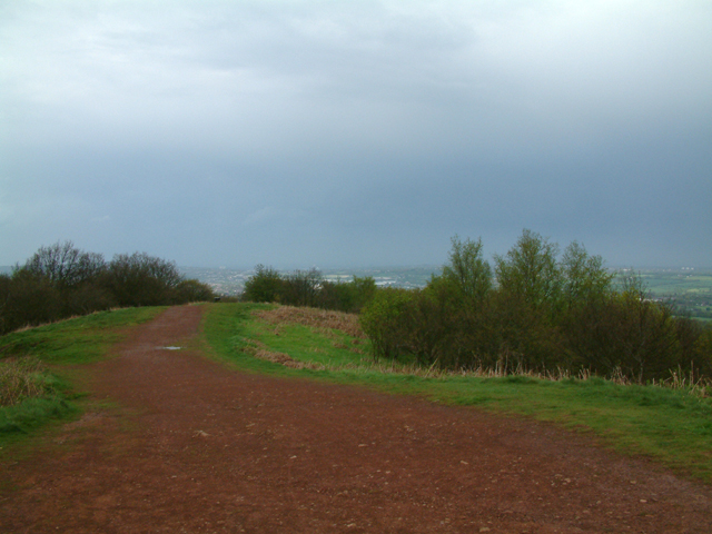
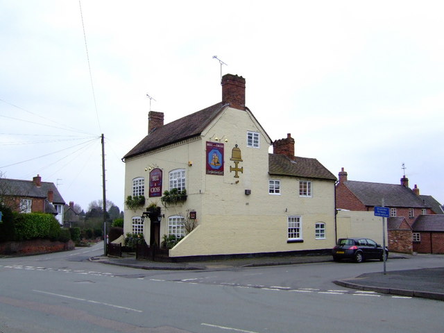
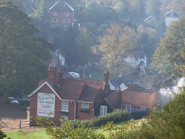
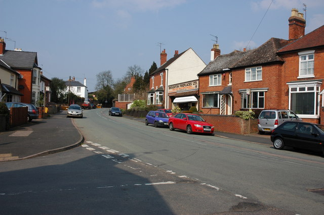
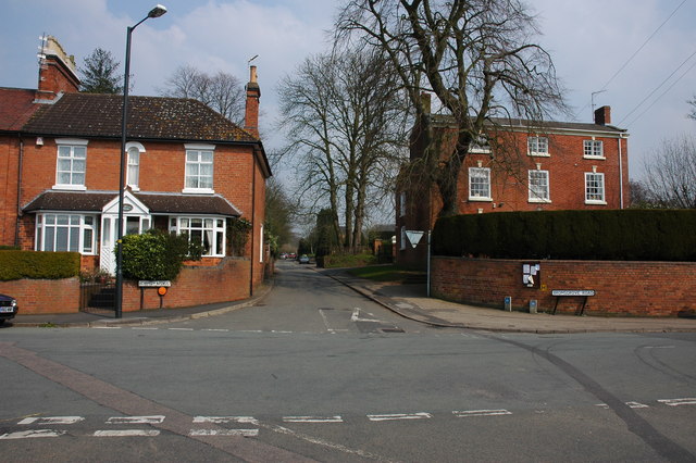
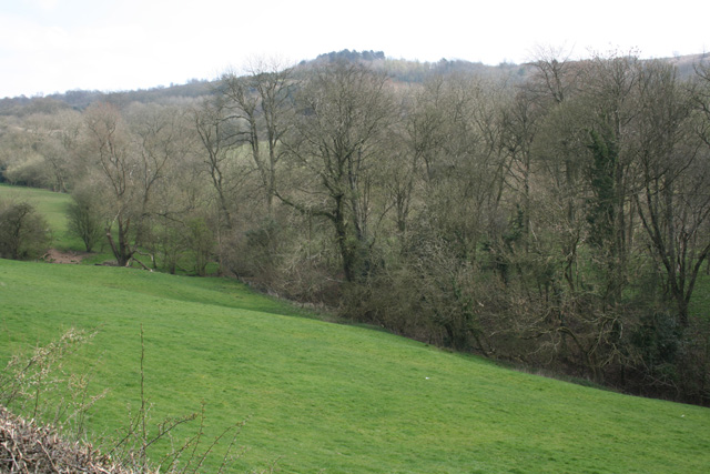
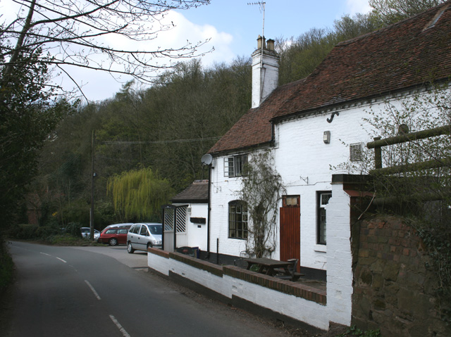
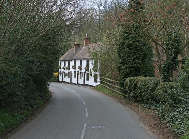
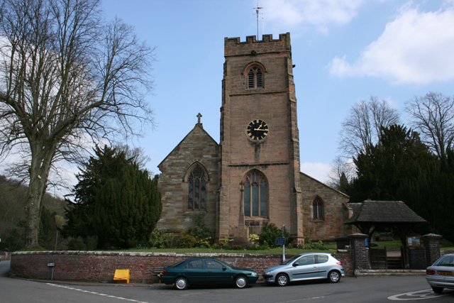
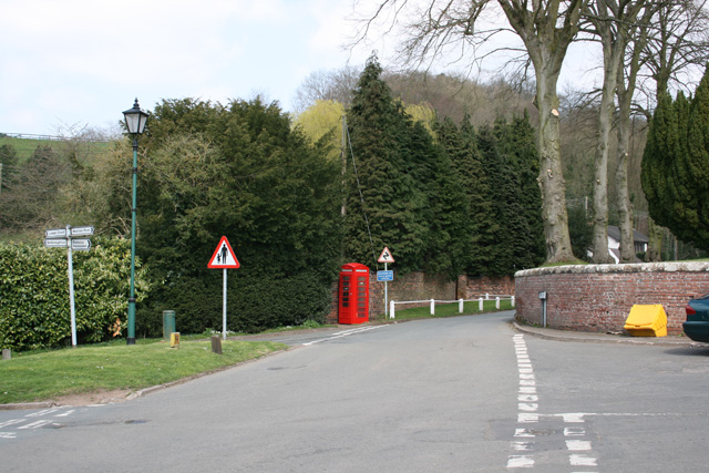
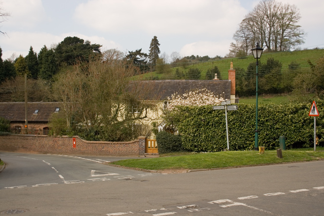
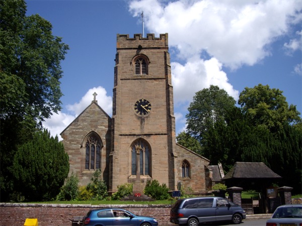
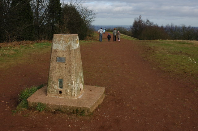
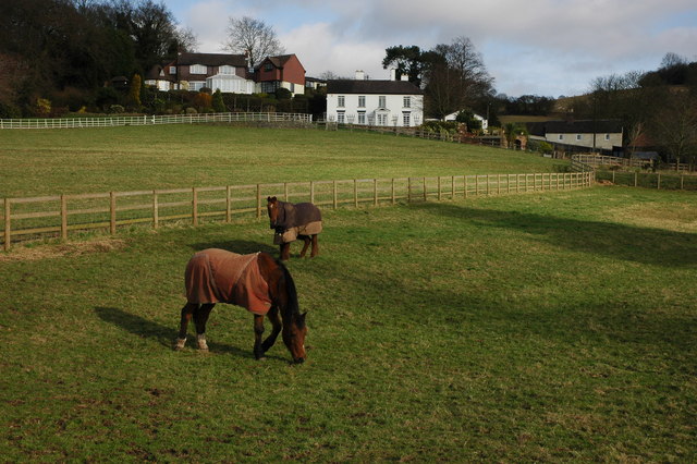
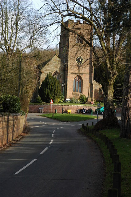
Fourstones Covert Images

Images are sourced within 2km of 52.420149/-2.09518 or Grid Reference SO9380. Thanks to Geograph Open Source API. All images are credited.

Path towards the Nimmings Plantation
Walton Hill Path along the summit ridge of Walton Hill, highest (315 metres above sea level) of the Clent Hills.
Walton Hill
Path along the summit ridge of Walton Hill, highest (315 metres above sea level) of the Clent Hills.
Bell and Cross, Holy Cross, Clent Classic four roomed pub with open fires - Banks's plus guest beers
Bell and Cross, Holy Cross, Clent
Classic four roomed pub with open fires - Banks's plus guest beers
Adams Hill - Clent Adams Hill is situated at the foot of the Clent Hills. This side of Clent is the 'Tourist' side where visitors can stop at one of the pubs or restaurants.  The photo has been taken looking south to the 'Hill Tavern' and village.  The road still has evidence of the past in the form of an old gas lantern street light (unfortunately not in working condition) that can be found towards the top of the road just below the Four Stones restaurant.
Adams Hill - Clent
Adams Hill is situated at the foot of the Clent Hills. This side of Clent is the 'Tourist' side where visitors can stop at one of the pubs or restaurants. The photo has been taken looking south to the 'Hill Tavern' and village. The road still has evidence of the past in the form of an old gas lantern street light (unfortunately not in working condition) that can be found towards the top of the road just below the Four Stones restaurant.
Holy Cross near Clent
Pathway to Clent Hills Just outside the village of Clent
Pathway to Clent Hills
Just outside the village of Clent
Cottage at Walton Pool South West of Clent Village
Cottage at Walton Pool
South West of Clent Village
Looking towards Walton Hill, near Clent
Vine Inn Edge of Clent village
Vine Inn
Edge of Clent village
Cottages in Clent Near the Vine Inn on the road to St Kenelm's Church and Romsley
Cottages in Clent
Near the Vine Inn on the road to St Kenelm's Church and Romsley
St Leonards Church, Clent
Clent Village Green Outside St Leonard's Church
Clent Village Green
Outside St Leonard's Church
Clent Village Green looking towards Lower Clent
Parish Church of St Leonards, Clent
Trig point on Walton Hill The trig point on Walton Hill is 315m above sea level.
Trig point on Walton Hill
The trig point on Walton Hill is 315m above sea level.
Horses and houses in Clent Horses in a paddock below some houses at the foot of the Clent Hills. Viewed from a footpath to the south-east of Clent church.
Horses and houses in Clent
Horses in a paddock below some houses at the foot of the Clent Hills. Viewed from a footpath to the south-east of Clent church.
Clent Church Clent church is dedicated to St Leonard; it stands on a crossroads at the foot of the Clent Hills.
Clent Church
Clent church is dedicated to St Leonard; it stands on a crossroads at the foot of the Clent Hills.
Show me another place!

Fourstones Covert is located at Grid Ref: SO9380 (Lat: 52.420149, Lng: -2.09518)

Administrative County: Worcestershire

District: Bromsgrove

Police Authority: West Mercia

What 3 Words

///foods.notion.copper. Near Hagley, Worcestershire

Related Wikis

Related Videos

THE BEST HIKE FOR BEGINNERS | CLENT HILLS | West Midlands

Me and my mate Osman linked up for a visit to the Client Hills. We wanted to do a local trek/walk and this was perfect. An area of ...

Walking Into Dark Forest In Rain & Wind - Evening Walk Through The Woods - Virtual Trail Hike

Trail walk in the woods with umbrella on rainy, misty and windy summer evening at the Clent Hills Country Park, England, UK.

Nearby Amenities

Located within 500m of 52.420149,-2.09518
Bench
Backrest: no
Source: survey
Lat/Long: 52.4212869/-2.0985514
Bench
Backrest: no
Source: survey
Lat/Long: 52.4211186/-2.0989121
Tourism: viewpoint
Lat/Long: 52.4206939/-2.0988969
Bench
Source: survey
Lat/Long: 52.4215247/-2.0999307
Bench
Source: survey
Lat/Long: 52.4220962/-2.0986323
Clent Hill - The Four Stones
Ele: 304
Natural: peak
Lat/Long: 52.4207518/-2.0988938
Tourism: viewpoint
Lat/Long: 52.4210738/-2.1011436
Adams Hill
Natural: peak
Lat/Long: 52.4224665/-2.0945898
Four Stones
Historic: monument
Lat/Long: 52.4209415/-2.09894
Grit Bin
Ref: 282
Lat/Long: 52.4187524/-2.0949179
Power: pole
Ref: 734799
Source: wpd_open_data
Transformer: distribution
Lat/Long: 52.4216266/-2.0887569
The data included in this document is from www.openstreetmap.org. The data is made available under ODbL.

Have you been to Fourstones Covert?

Leave your review of Fourstones Covert below (or comments, questions and feedback).