Flight Hill
Hill, Mountain in Lancashire
England
Flight Hill
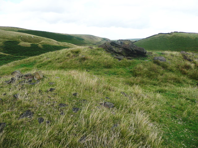
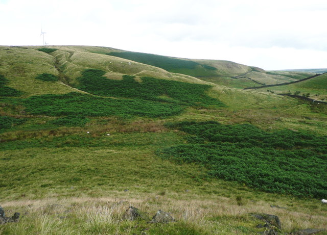
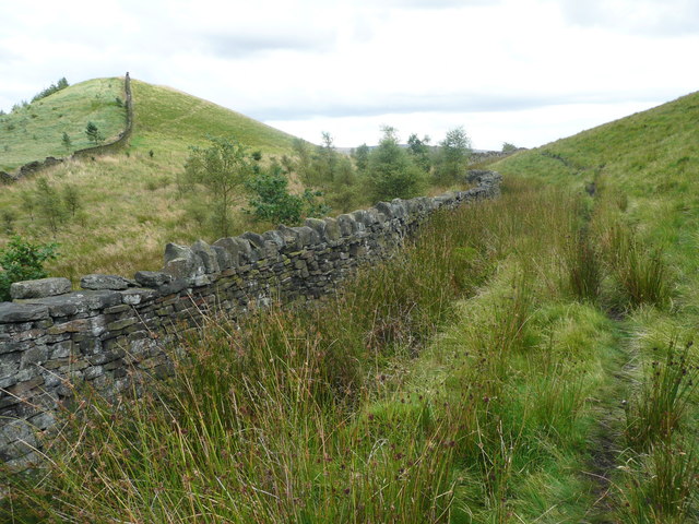
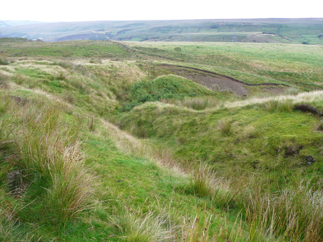
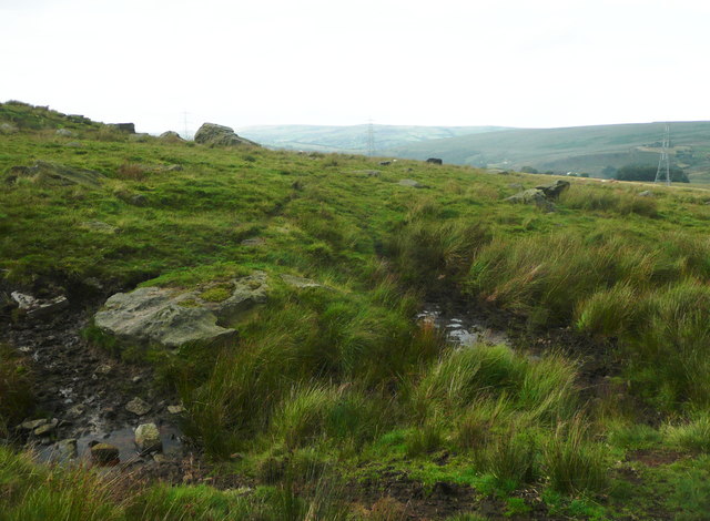
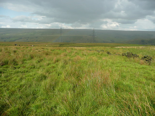
Flight Hill is a prominent geographical feature located in Lancashire, England. Situated in the western part of the county, it is classified as a hill rather than a mountain due to its elevation of approximately 162 meters (531 feet) above sea level. The hill is part of the larger West Pennine Moors and is nestled within a picturesque rural landscape.
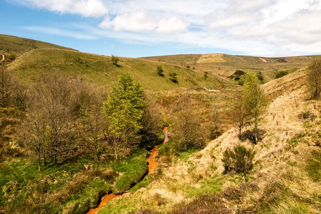
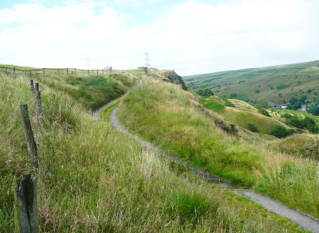
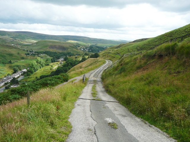
One of the defining characteristics of Flight Hill is its commanding position, offering panoramic views of the surrounding countryside. On clear days, visitors can enjoy breathtaking vistas stretching as far as the eye can see, encompassing rolling hills, lush green fields, and distant villages. The hill's strategic location has made it a popular spot for paragliding and other aerial activities, hence its name "Flight Hill."
Aside from its recreational appeal, Flight Hill also holds historical significance. It is believed to have been used as a beacon site during ancient times, serving as a navigational aid for travelers. This historical role is reflected in the presence of an old stone beacon that still stands atop the hill, providing a glimpse into the region's past.
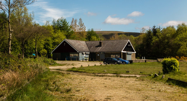
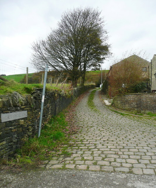
Access to Flight Hill is relatively easy, thanks to the presence of well-maintained footpaths and trails. Hikers and nature enthusiasts often venture to the area to explore the surrounding countryside and take advantage of the numerous walking routes that traverse the West Pennine Moors.
Overall, Flight Hill in Lancashire is a captivating hill with scenic views, a rich history, and recreational opportunities, making it a popular destination for locals and tourists alike.
If you have any feedback on the listing, please let us know in the comments section below.
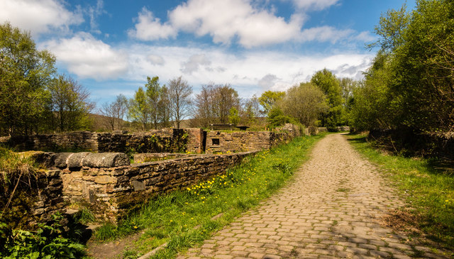
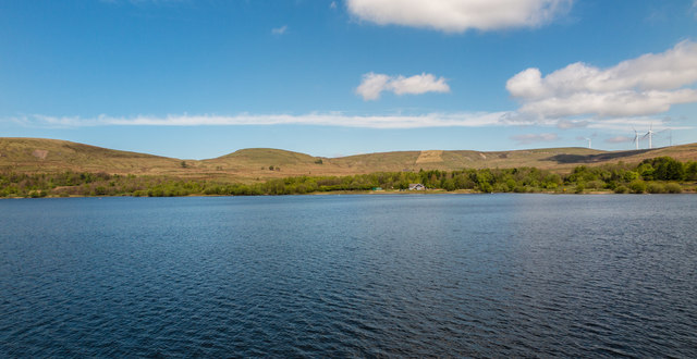
Flight Hill Images
Images are sourced within 2km of 53.665131/-2.115813 or Grid Reference SD9218. Thanks to Geograph Open Source API. All images are credited.


Flight Hill is located at Grid Ref: SD9218 (Lat: 53.665131, Lng: -2.115813)
Unitary Authority: Rochdale
Police Authority: Greater Manchester
What 3 Words
///moth.worked.books. Near Wardle, Manchester
Nearby Locations
Related Wikis

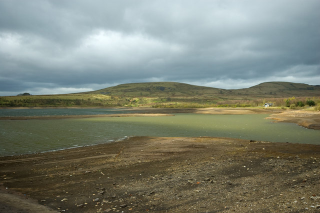
Watergrove Reservoir
Watergrove Reservoir is a reservoir close to Wardle in the Metropolitan Borough of Rochdale, within Greater Manchester, England. Rochdale Corporation...

Calderbrook
Calderbrook ( KAWL-dər-bruuk) is a village within the Metropolitan Borough of Rochdale, in Greater Manchester, England. It was originally part of the township...

Summit Tunnel fire
The Summit Tunnel fire occurred on 20 December 1984, when a dangerous goods train caught fire while passing through the Summit Tunnel on the railway line...

Wardle, Greater Manchester
Wardle (; pop. 7,092) is a village near Littleborough within the Metropolitan Borough of Rochdale, in Greater Manchester, England. It lies amongst the...

Greenvale Brook
Greenvale Brook is a watercourse in Greater Manchester and a tributary of the River Roch. == Tributaries == Lydgate Brook Castle Brook Red Brook Lead Mine...
Brown Wardle Hill
Brown Wardle is a hill between the village of Wardle, Greater Manchester and the town of Whitworth, Lancashire, England. The summit is on the border of...

Summit Tunnel
Summit Tunnel in England is one of the world's oldest railway tunnels. It was constructed between 1838 and 1841 by the Manchester and Leeds Railway Company...
Town House Brook
Town House Brook is a watercourse in Greater Manchester and a tributary of the River Roch. == Tributaries == Long Clough Brook Turn Slack Brook Blue Pot...
Nearby Amenities
Located within 500m of 53.665131,-2.115813Have you been to Flight Hill?
Leave your review of Flight Hill below (or comments, questions and feedback).