Sim's Hill

Hill, Mountain in Northumberland

England

Sim's Hill

Low Ardley Ford The lower of two fords over the Ham Burn. See also <a href="https://www.geograph.org.uk/photo/6952426">NY9058 : Ford over the Ham Burn</a>.
Low Ardley Ford Credit: Oliver Dixon

Sim's Hill is a prominent hill located in the county of Northumberland, England. Standing at an elevation of approximately 374 meters (1,227 feet), it is classified as a hill rather than a mountain. Situated in the northern part of the county, Sim's Hill is part of the Cheviot Hills range, which extends along the border between England and Scotland.

The hill offers breathtaking panoramic views of the surrounding countryside, making it a popular destination for hikers, nature enthusiasts, and photographers. Its strategic location provides visitors with stunning vistas of the Northumberland National Park, the Scottish borders, and the rolling hills that characterize the region.

Sim's Hill is covered with a mixture of heather, grasses, and sparse woodland, creating a diverse and picturesque landscape. The hill itself is relatively steep, but a well-maintained footpath allows visitors to reach the summit with relative ease. From the top, visitors can admire the vast expanse of the neighboring valleys and the distant peaks of the Cheviot Hills.

The area surrounding Sim's Hill is rich in wildlife, with several bird species, including red grouse and golden plovers, calling it home. It is also home to various mammals, such as red deer and hares, which can occasionally be spotted while exploring the hill.

Sim's Hill is a popular destination for those seeking outdoor activities, including walking, hiking, and birdwatching. Its natural beauty and tranquil surroundings make it a must-visit location for anyone venturing into Northumberland.

If you have any feedback on the listing, please let us know in the comments section below.
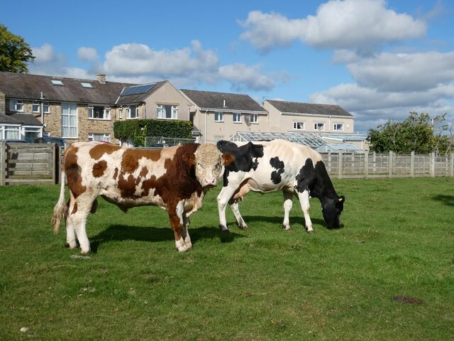
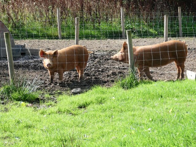
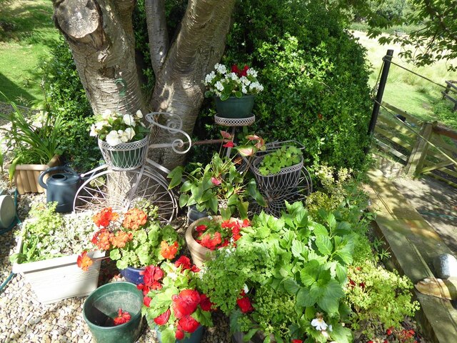
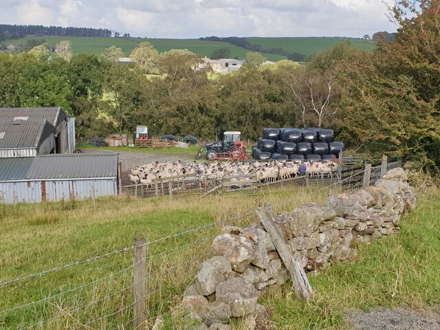
Sim's Hill Images

Images are sourced within 2km of 54.916912/-2.1194965 or Grid Reference NY9258. Thanks to Geograph Open Source API. All images are credited.

Low Ardley Ford The lower of two fords over the Ham Burn. See also <a href="https://www.geograph.org.uk/photo/6952426">NY9058 : Ford over the Ham Burn</a>.
Low Ardley Ford
The lower of two fords over the Ham Burn. See also NY9058 : Ford over the Ham Burn.
Bull and cow Set against the unlikely backdrop of Close House Residential Care Home.
Bull and cow
Set against the unlikely backdrop of Close House Residential Care Home.
Tamworth Reds I never knew that pigs could set up quite the cacophonous racket that these two (together with a couple of others) did when they saw us and presumably thought that food  was on the way!
Tamworth Reds
I never knew that pigs could set up quite the cacophonous racket that these two (together with a couple of others) did when they saw us and presumably thought that food was on the way!
Meander scars A good example of meander scars where the meandering stream has cut into the steep hillside. The stream flows into the Ham Burn near Low Ardley.
Meander scars
A good example of meander scars where the meandering stream has cut into the steep hillside. The stream flows into the Ham Burn near Low Ardley.
Ford over the Ham Burn Near Low Ardley.
Ford over the Ham Burn
Near Low Ardley.
Same location, new feeder, new sheep Compare with <a href="https://www.geograph.org.uk/photo/1135815">NY9159 : Sheep and feeder near High Ardley</a> from thirteen years ago.
Same location, new feeder, new sheep
Compare with NY9159 : Sheep and feeder near High Ardley from thirteen years ago.
Floral bicycle in a garden at Whitley Chapel
A very large pile of bales at Low Ardley
Yard full of sheep At Hamburn Hall Farm.
Yard full of sheep
At Hamburn Hall Farm.
Yard full of sheep At Hamburn Hall Farm. The valley of the Ham Burn with Low Ardley beyond.
Yard full of sheep
At Hamburn Hall Farm. The valley of the Ham Burn with Low Ardley beyond.
Ford over the Ham Burn at Low Ardley With much more water in the stream than I have ever seen before (11 mm of rain last night recorded at home nearby). Even the start of the path to the footbridge was under water, but still a long way short of the 6 ft mark on the measuring stave, fortunately.
Ford over the Ham Burn at Low Ardley
With much more water in the stream than I have ever seen before (11 mm of rain last night recorded at home nearby). Even the start of the path to the footbridge was under water, but still a long way short of the 6 ft mark on the measuring stave, fortunately.
Ford on the Ham Burn south of Low Ardley
Footbridge over the Ham Burn at the ford south of Low Ardley
The Ham Burn at the ford south of Low Ardley
Sheep wash by the ford on the Ham Burn south of Low Ardley
Ford on the Ham Burn south of Low Ardley (2) Beyond the depth gauge is the <a href="https://www.geograph.org.uk/photo/7542496">NY9058 : Sheep wash by the ford on the Ham Burn south of Low Ardley</a>.
Ford on the Ham Burn south of Low Ardley (2)
Farmland north of Winter House
Copse by Winter House
Show me another place!

Sim's Hill is located at Grid Ref: NY9258 (Lat: 54.916912, Lng: -2.1194965)

Unitary Authority: Northumberland

Police Authority: Northumbria

What 3 Words

///tragedy.improving.shadowing. Near Slaley, Northumberland

Nearby Locations

Sim's Hill

Related Wikis

Hexhamshire

Hexhamshire is a civil parish in Northern England. It was incorporated into Northumberland in 1572. == History == Hexhamshire was originally a single parish...

Whitley Chapel

Whitley Chapel is a village in Northumberland, England about 4 miles (6 km) south of Hexham, and in the parish of Hexhamshire. == Governance == Whitley...

Juniper, Northumberland

Juniper is a hamlet in the English county of Northumberland. It is about 5 miles (8 km) due south of Hexham in the area known as Hexhamshire. There is...

Hexhamshire Low Quarter

Hexhamshire Low Quarter is a former civil parish, now in the parish of Hexhamshire, in Northumberland, England. It was situated to the south of Hexham...

Nearby Amenities

Located within 500m of 54.916912,-2.1194965
Whitley Chapel
Place: village
Wikidata: Q7996562
Lat/Long: 54.9149668/-2.1145864
Generator Method: photovoltaic
Generator Output Electricity: yes
Generator Source: solar
Generator Type: solar_photovoltaic_panel
Location: roof
Power: generator
Lat/Long: 54.9144643/-2.1156824
Generator Method: photovoltaic
Generator Output Electricity: yes
Generator Source: solar
Generator Type: solar_photovoltaic_panel
Location: roof
Power: generator
Lat/Long: 54.9143039/-2.1147866
Generator Method: photovoltaic
Generator Output Electricity: yes
Generator Source: solar
Generator Type: solar_photovoltaic_panel
Location: roof
Power: generator
Lat/Long: 54.9142608/-2.1148053
Generator Method: photovoltaic
Generator Output Electricity: yes
Generator Source: solar
Generator Type: solar_photovoltaic_panel
Location: roof
Power: generator
Lat/Long: 54.9141868/-2.1149126
Generator Method: photovoltaic
Generator Output Electricity: yes
Generator Source: solar
Generator Type: solar_photovoltaic_panel
Location: roof
Power: generator
Lat/Long: 54.9142099/-2.1150414
Generator Method: photovoltaic
Generator Output Electricity: yes
Generator Source: solar
Generator Type: solar_photovoltaic_panel
Location: roof
Power: generator
Lat/Long: 54.9142238/-2.1151701
Generator Method: photovoltaic
Generator Output Electricity: yes
Generator Source: solar
Generator Type: solar_photovoltaic_panel
Location: roof
Power: generator
Lat/Long: 54.9142561/-2.1153042
Generator Method: photovoltaic
Generator Output Electricity: yes
Generator Source: solar
Generator Type: solar_photovoltaic_panel
Location: roof
Power: generator
Lat/Long: 54.9142947/-2.1154223
Generator Method: photovoltaic
Generator Output Electricity: yes
Generator Source: solar
Generator Type: solar_photovoltaic_panel
Location: roof
Power: generator
Lat/Long: 54.9143194/-2.1155456
Generator Method: photovoltaic
Generator Output Electricity: yes
Generator Source: solar
Generator Type: solar_photovoltaic_panel
Location: roof
Power: generator
Lat/Long: 54.9143656/-2.1156583
Generator Method: photovoltaic
Generator Output Electricity: yes
Generator Source: solar
Generator Type: solar_photovoltaic_panel
Location: roof
Power: generator
Lat/Long: 54.9143887/-2.1157548
Generator Method: photovoltaic
Generator Output Electricity: yes
Generator Source: solar
Generator Type: solar_photovoltaic_panel
Location: roof
Power: generator
Lat/Long: 54.9145352/-2.1156234
The data included in this document is from www.openstreetmap.org. The data is made available under ODbL.

Have you been to Sim's Hill?

Leave your review of Sim's Hill below (or comments, questions and feedback).