Old Charles Hill
Hill, Mountain in Lancashire
England
Old Charles Hill
Old Charles Hill, located in Lancashire, England, is a prominent geographical feature that has been a part of the landscape for centuries. Standing at an elevation of approximately 300 meters, it is considered a hill rather than a mountain due to its moderate height. The hill is situated in the Charlesworth area, near the village of Charlesworth.
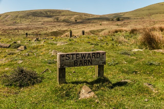
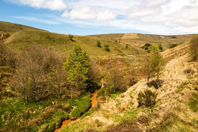
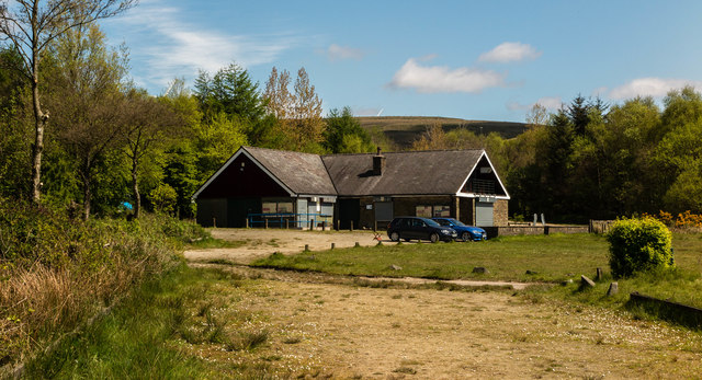
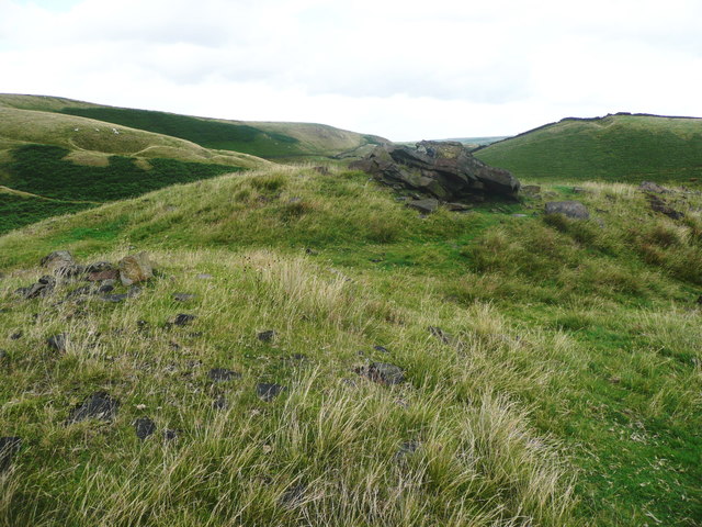
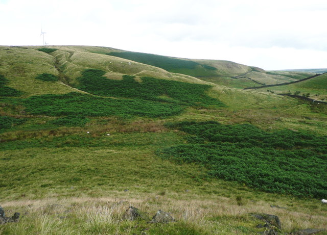
Old Charles Hill is known for its picturesque views, offering panoramic vistas of the surrounding countryside. Covered in lush greenery, the hill is adorned with a variety of indigenous flora and fauna, which adds to its natural beauty. The area is also home to several walking trails, making it a popular destination for hikers and nature enthusiasts.
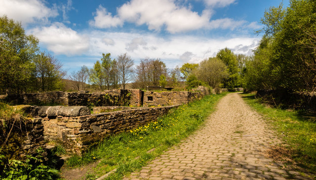
The hill holds historical significance, as it is believed to have been named after Charlesworth, an ancient settlement in the region. The name "Charlesworth" originates from the Old English words "ceorl" and "worth," meaning "peasant's farm," suggesting that the area has been inhabited since medieval times.
Old Charles Hill plays a role in local folklore and legends, with tales of hidden treasures and mystical encounters often associated with the area. These stories have been passed down through generations, adding an air of mystery and intrigue to the hill.
Overall, Old Charles Hill is a cherished landmark in Lancashire, offering both natural beauty and historical significance. Its scenic vistas, walking trails, and rich folklore make it a destination that attracts visitors and locals alike, allowing them to connect with the region's heritage and enjoy the wonders of nature.
If you have any feedback on the listing, please let us know in the comments section below.
Old Charles Hill Images
Images are sourced within 2km of 53.665341/-2.1119847 or Grid Reference SD9218. Thanks to Geograph Open Source API. All images are credited.


Old Charles Hill is located at Grid Ref: SD9218 (Lat: 53.665341, Lng: -2.1119847)
Unitary Authority: Rochdale
Police Authority: Greater Manchester
What 3 Words
///images.assure.pens. Near Wardle, Manchester
Related Wikis

Calderbrook
Calderbrook ( KAWL-dər-bruuk) is a village within the Metropolitan Borough of Rochdale, in Greater Manchester, England. It was originally part of the township...

Summit Tunnel fire
The Summit Tunnel fire occurred on 20 December 1984, when a dangerous goods train caught fire while passing through the Summit Tunnel on the railway line...

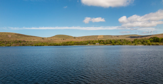
Watergrove Reservoir
Watergrove Reservoir is a reservoir close to Wardle in the Metropolitan Borough of Rochdale, within Greater Manchester, England. Rochdale Corporation...

Greenvale Brook
Greenvale Brook is a watercourse in Greater Manchester and a tributary of the River Roch. == Tributaries == Lydgate Brook Castle Brook Red Brook Lead Mine...
Nearby Amenities
Located within 500m of 53.665341,-2.1119847Have you been to Old Charles Hill?
Leave your review of Old Charles Hill below (or comments, questions and feedback).