Hills Clough
Valley in Lancashire
England
Hills Clough

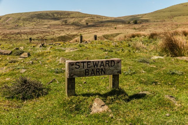
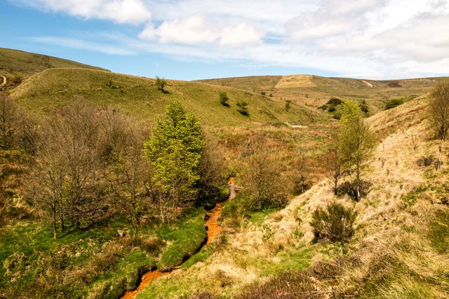
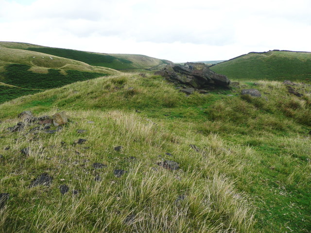
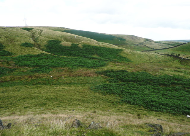
Hills Clough, located in the county of Lancashire, England, is a picturesque valley renowned for its natural beauty and serene environment. Nestled amidst the rolling hills and lush greenery, Hills Clough offers a tranquil escape from the hustle and bustle of urban life.
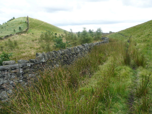
The valley is characterized by its charming countryside, with meandering streams, dense woodlands, and open fields. The area is abundant with diverse flora and fauna, making it a popular destination for nature enthusiasts and wildlife lovers. Visitors can expect to encounter various species of birds, small mammals, and even occasional deer sightings.
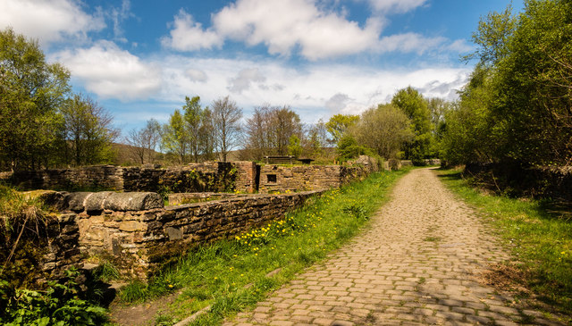
Hills Clough is also home to several walking and hiking trails, providing ample opportunities for outdoor activities. The well-maintained paths cater to both casual strollers and more experienced hikers, offering stunning views of the surrounding landscape. The valley's idyllic setting also makes it a favored spot for picnics and family outings.
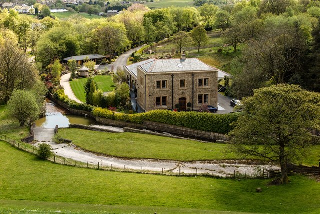
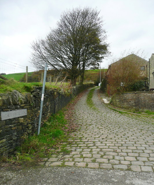
The nearby villages of Hills Clough offer a glimpse into traditional rural life, with charming cottages, local pubs, and friendly residents. The area has a rich history, with evidence of ancient settlements and industrial heritage visible in the landscape.
In summary, Hills Clough, Lancashire is a picturesque valley boasting natural beauty, diverse wildlife, and a peaceful atmosphere. It provides a perfect retreat for those seeking solace in nature or looking to explore the region's rich history and heritage.
If you have any feedback on the listing, please let us know in the comments section below.
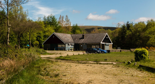
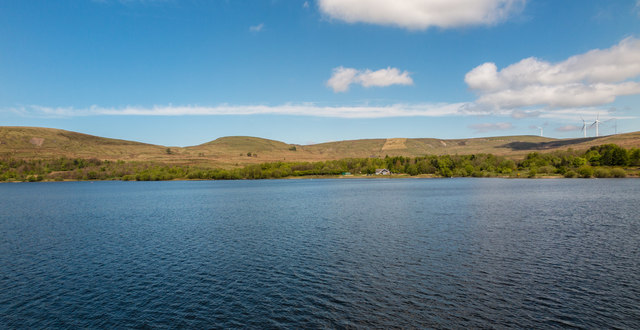
Hills Clough Images
Images are sourced within 2km of 53.65993/-2.1219121 or Grid Reference SD9218. Thanks to Geograph Open Source API. All images are credited.


Hills Clough is located at Grid Ref: SD9218 (Lat: 53.65993, Lng: -2.1219121)
Unitary Authority: Rochdale
Police Authority: Greater Manchester
What 3 Words
///green.refuse.chefs. Near Wardle, Manchester
Related Wikis

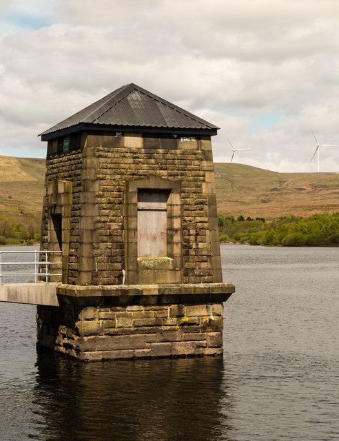
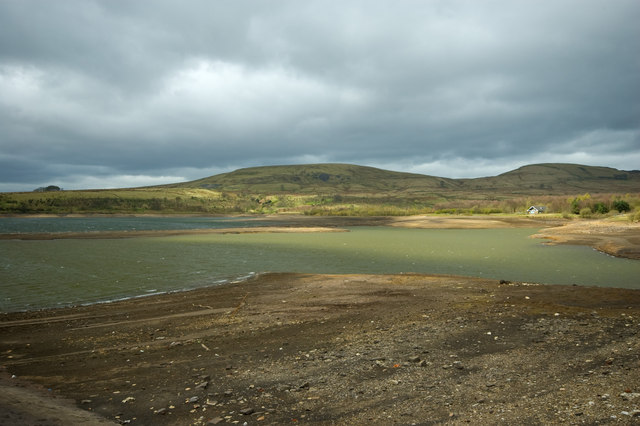
Watergrove Reservoir
Watergrove Reservoir is a reservoir close to Wardle in the Metropolitan Borough of Rochdale, within Greater Manchester, England. Rochdale Corporation...

Wardle, Greater Manchester
Wardle (; pop. 7,092) is a village near Littleborough within the Metropolitan Borough of Rochdale, in Greater Manchester, England. It lies amongst the...

Wardle Academy
Wardle Academy is a coeducational secondary school with academy status, located in Wardle, Greater Manchester, England. It was founded in September 1977...
Brown Wardle Hill
Brown Wardle is a hill between the village of Wardle, Greater Manchester and the town of Whitworth, Lancashire, England. The summit is on the border of...

Birch Hill Hospital
Birch Hill Hospital is a health facility in Wardle, Littleborough, near Rochdale, Greater Manchester. It was managed by Pennine Acute Hospitals NHS Trust...

Calderbrook
Calderbrook ( KAWL-dər-bruuk) is a village within the Metropolitan Borough of Rochdale, in Greater Manchester, England. It was originally part of the township...

Littleborough, Greater Manchester
Littleborough ( LIT-əl-bər-ə) is a town in the Metropolitan Borough of Rochdale, Greater Manchester, England, in the upper Roch Valley by the foothills...
Greenvale Brook
Greenvale Brook is a watercourse in Greater Manchester and a tributary of the River Roch. == Tributaries == Lydgate Brook Castle Brook Red Brook Lead Mine...
Nearby Amenities
Located within 500m of 53.65993,-2.1219121Have you been to Hills Clough?
Leave your review of Hills Clough below (or comments, questions and feedback).