Turn Slack Dam

Lake, Pool, Pond, Freshwater Marsh in Lancashire

England

Turn Slack Dam

Ross Ices - old ice cream sign
Ross Ices - old ice cream sign Credit: michael ely

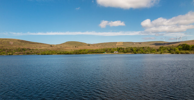
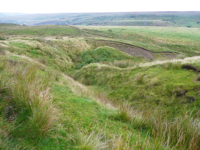
Turn Slack Dam is a freshwater marsh located in Lancashire, England. It is a man-made water body that serves multiple purposes, including flood control, wildlife conservation, and recreational activities.

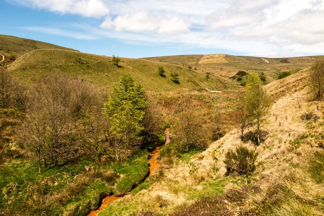
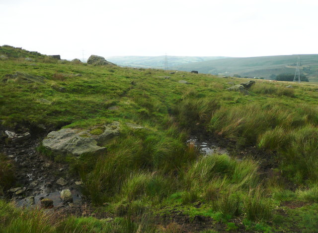
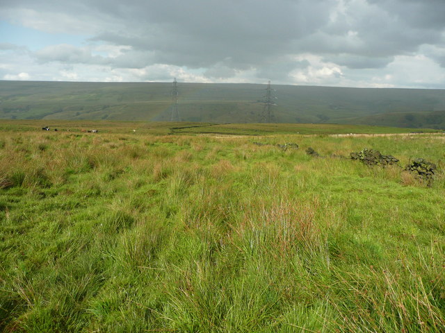
The dam is situated in a picturesque setting, surrounded by lush green fields and rolling hills. It covers an area of approximately 10 acres, offering ample space for various water-based activities. The water in Turn Slack Dam is sourced from local streams and rainwater runoff, ensuring its constant replenishment.

The dam plays a vital role in flood control, particularly during heavy rainfall or melting snow. It acts as a reservoir, storing excess water and preventing flooding in nearby areas. This function has proven crucial in protecting the surrounding farmlands and residential areas from potential damage.

Moreover, Turn Slack Dam serves as a habitat for a diverse range of wildlife. The freshwater marsh provides a suitable environment for various plant and animal species, including waterfowl, amphibians, and insects. Birdwatchers frequent the dam to observe and document the numerous bird species that inhabit the area.

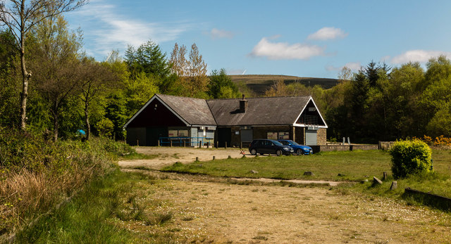
In addition to its ecological importance, Turn Slack Dam offers recreational opportunities for the local community and visitors. Fishing enthusiasts are drawn to the dam, as it is known for its abundance of fish species, such as perch and pike. The calm and serene atmosphere also attracts nature lovers who enjoy walking or picnicking along the dam's perimeter.

Overall, Turn Slack Dam in Lancashire is a multifunctional water body that serves as a flood control mechanism, wildlife habitat, and recreational destination. Its scenic beauty and diverse ecosystem make it a valuable asset to the region.

If you have any feedback on the listing, please let us know in the comments section below.

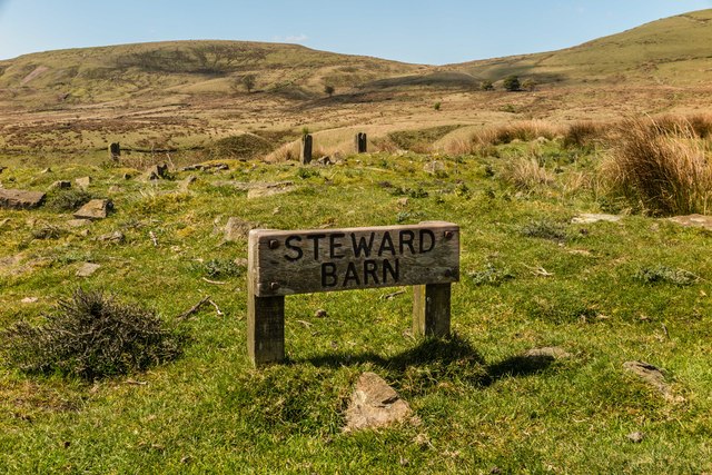
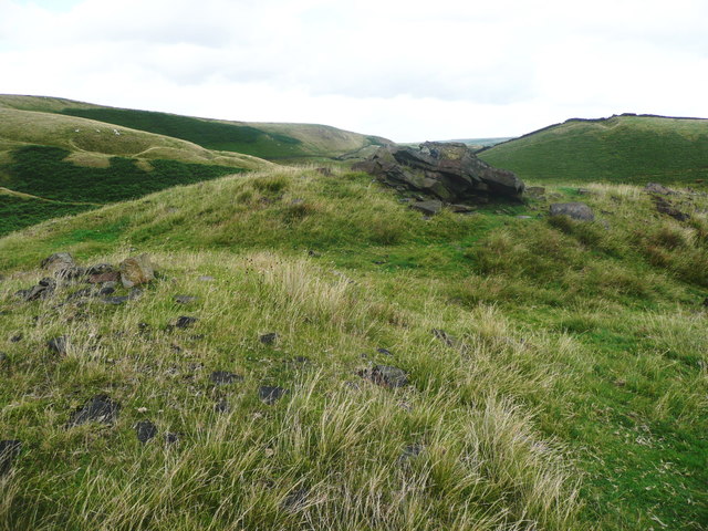
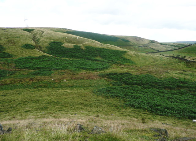
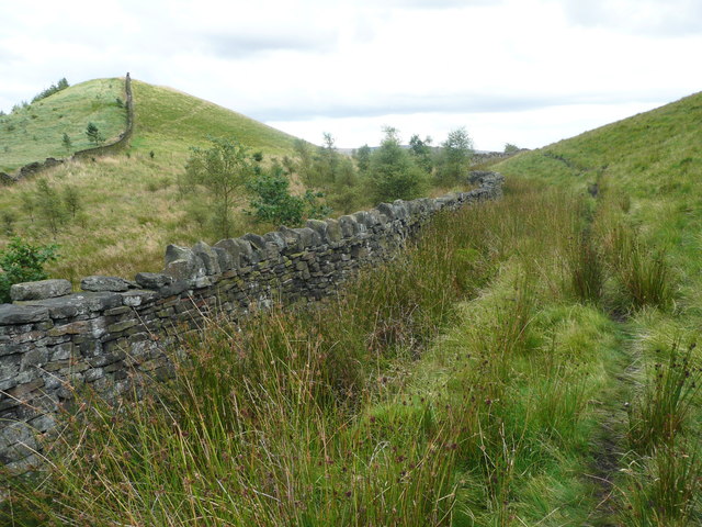
Turn Slack Dam Images

Images are sourced within 2km of 53.665273/-2.1171755 or Grid Reference SD9218. Thanks to Geograph Open Source API. All images are credited.

Ross Ices - old ice cream sign
Shore Moor Crook Hill Wind Farm on Shore Moor.
Shore Moor
Crook Hill Wind Farm on Shore Moor.
Watergrove History Wall, greater (northern) part The Watergrove History Wall, situated on the east side of Watergrove Reservoir at the southern end of the reservoir, includes several date stones from Watergrove village buildings and surrounding farmsteads that were demolished during the construction of Rochdale Corporation's Watergrove Reservoir in the 1930s.

The image is a composite of 18 photographs produced using Microsoft's ICE (Image Composite Editor) software.

The wall is approximately 170 ft long; this image is the northern 110 ft part.  The wall is divided by adjacent fencing.

The 60 ft lesser (southern) part of the wall is illustrated in the Geograph:

                  <a title="https://www.geograph.org.uk/photo/5163265" href="https://www.geograph.org.uk/photo/5163265">Link</a>
Watergrove History Wall, greater (northern) part
The Watergrove History Wall, situated on the east side of Watergrove Reservoir at the southern end of the reservoir, includes several date stones from Watergrove village buildings and surrounding farmsteads that were demolished during the construction of Rochdale Corporation's Watergrove Reservoir in the 1930s. The image is a composite of 18 photographs produced using Microsoft's ICE (Image Composite Editor) software. The wall is approximately 170 ft long; this image is the northern 110 ft part. The wall is divided by adjacent fencing. The 60 ft lesser (southern) part of the wall is illustrated in the Geograph: Link
Watergrove History Wall, lesser (southern) part The Watergrove History Wall, situated on the east side of Watergrove Reservoir at the southern end of the reservoir, includes several date stones from Watergrove village buildings and surrounding farmsteads that were demolished during the construction of Rochdale Corporation's Watergrove Reservoir in the 1930s.

The image is a composite of 6 photographs produced using Microsoft's ICE (Image Composite Editor) software.

The wall is approximately 170 ft long; this image is the southern 60 ft part.  The wall is divided by adjacent fencing.

The 110 ft greater (northern) part of the wall is illustrated in the Geograph:

       <a title="https://www.geograph.org.uk/photo/5163240" href="https://www.geograph.org.uk/photo/5163240">Link</a>
Watergrove History Wall, lesser (southern) part
The Watergrove History Wall, situated on the east side of Watergrove Reservoir at the southern end of the reservoir, includes several date stones from Watergrove village buildings and surrounding farmsteads that were demolished during the construction of Rochdale Corporation's Watergrove Reservoir in the 1930s. The image is a composite of 6 photographs produced using Microsoft's ICE (Image Composite Editor) software. The wall is approximately 170 ft long; this image is the southern 60 ft part. The wall is divided by adjacent fencing. The 110 ft greater (northern) part of the wall is illustrated in the Geograph: Link
Steward Barn The remains of Steward Barn above Watergrove Reservoir.
Steward Barn
The remains of Steward Barn above Watergrove Reservoir.
Higher Slack Brook Higher Slack Brook above Watergrove Reservoir.
Higher Slack Brook
Higher Slack Brook above Watergrove Reservoir.
Watergrove Reservoir Sailing Club House at Watergrove Reservoir.
Watergrove Reservoir
Sailing Club House at Watergrove Reservoir.
Ramsden Road Remains of the Little Town farmstead alongside Ramsden Road.
Ramsden Road
Remains of the Little Town farmstead alongside Ramsden Road.
Watergrove Reservoir View looking across Watergrove Reservoir from the dam.
Watergrove Reservoir
View looking across Watergrove Reservoir from the dam.
The summit of Cuckoo Hill, Littleborough A nice little hill, without a spot height on the map, but a little over 325m.
The summit of Cuckoo Hill, Littleborough
A nice little hill, without a spot height on the map, but a little over 325m.
View from Cuckoo Hill, Littleborough A path climbs up Allenden Hill, which is 50m higher than Cuckoo Hill, but does not have a proper summit.
View from Cuckoo Hill, Littleborough
A path climbs up Allenden Hill, which is 50m higher than Cuckoo Hill, but does not have a proper summit.
Path along the edge of the moor, Littleborough The area on the left side of the hill is Pasture House Plantation, although there are not many trees at present. It is part of what used to be Calderbrook Moor but was enclosed by 1850.
Path along the edge of the moor, Littleborough
The area on the left side of the hill is Pasture House Plantation, although there are not many trees at present. It is part of what used to be Calderbrook Moor but was enclosed by 1850.
The infant Owler Clough, next to the Rochdale Way
The Rochdale Way crossing a stream near Ferny Hill This is where the rain started, banishing thoughts of taking photographs of the rocks.
The Rochdale Way crossing a stream near Ferny Hill
This is where the rain started, banishing thoughts of taking photographs of the rocks.
Not quite on the Rochdale Way, Walsden After passing the Ferny Hill rocks I lost the footpath, so headed for the intake wall and picked my way through the rushes. The shower of rain has finished here and is crossing the valley in the distance.
Not quite on the Rochdale Way, Walsden
After passing the Ferny Hill rocks I lost the footpath, so headed for the intake wall and picked my way through the rushes. The shower of rain has finished here and is crossing the valley in the distance.
Higher Shore Road, Littleborough
Bus turning triangle, Shore, Littleborough The King William IV is at the end of the road in Shore.
Bus turning triangle, Shore, Littleborough
The King William IV is at the end of the road in Shore.
Cote Lane, Shore, Littleborough
Show me another place!

Turn Slack Dam is located at Grid Ref: SD9218 (Lat: 53.665273, Lng: -2.1171755)

Unitary Authority: Rochdale

Police Authority: Greater Manchester

What 3 Words

///couches.poster.dared. Near Wardle, Manchester

Related Wikis

Watergrove Reservoir

Watergrove Reservoir is a reservoir close to Wardle in the Metropolitan Borough of Rochdale, within Greater Manchester, England. Rochdale Corporation...

Calderbrook

Calderbrook ( KAWL-dər-bruuk) is a village within the Metropolitan Borough of Rochdale, in Greater Manchester, England. It was originally part of the township...

Summit Tunnel fire

The Summit Tunnel fire occurred on 20 December 1984, when a dangerous goods train caught fire while passing through the Summit Tunnel on the railway line...

Wardle, Greater Manchester

Wardle (; pop. 7,092) is a village near Littleborough within the Metropolitan Borough of Rochdale, in Greater Manchester, England. It lies amongst the...

Nearby Amenities

Located within 500m of 53.665273,-2.1171755
Clay Pots Hill
Natural: peak
Lat/Long: 53.6644283/-2.1233774
Ford: yes
Lat/Long: 53.664948/-2.1200483
Ford: yes
Lat/Long: 53.6646824/-2.1203629
Ford: yes
Lat/Long: 53.6684552/-2.1129975
Ford: yes
Lat/Long: 53.6655525/-2.1147829
Ford: yes
Lat/Long: 53.6648858/-2.1200101
The data included in this document is from www.openstreetmap.org. The data is made available under ODbL.

Have you been to Turn Slack Dam?

Leave your review of Turn Slack Dam below (or comments, questions and feedback).