Little Hill
Hill, Mountain in Fife
Scotland
Little Hill
Little Hill is a small hill located in the region of Fife, Scotland. Situated in the eastern part of the country, Little Hill is a prominent feature of the local landscape. It is part of a range of hills known as the Lomond Hills, which stretch across the central region of Fife.
With an elevation of approximately 390 meters (1,280 feet), Little Hill is not particularly high compared to other mountains in Scotland. However, it offers breathtaking views of the surrounding area, including the picturesque countryside, nearby villages, and the Firth of Forth.
Little Hill is characterized by its rolling slopes and rocky terrain, which make it a popular destination for hikers and outdoor enthusiasts. The hill is covered in patches of heather and grass, providing a vibrant and colorful landscape during the warmer months. Its well-defined paths and trails make it accessible to both experienced hikers and casual walkers.
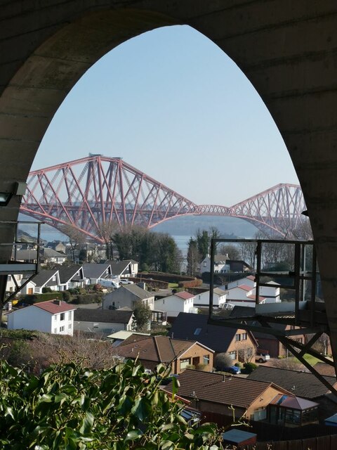
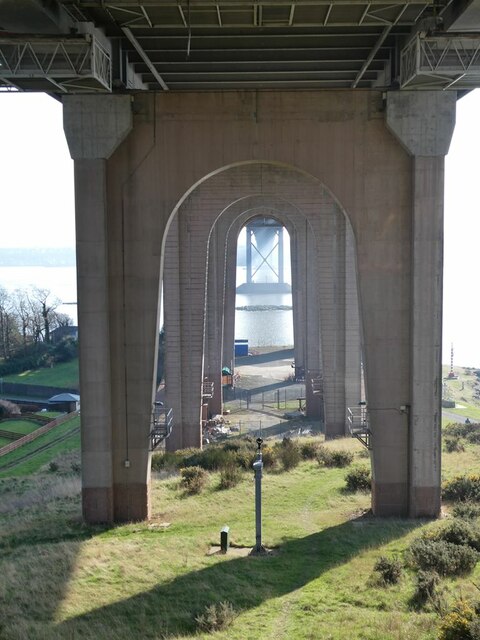
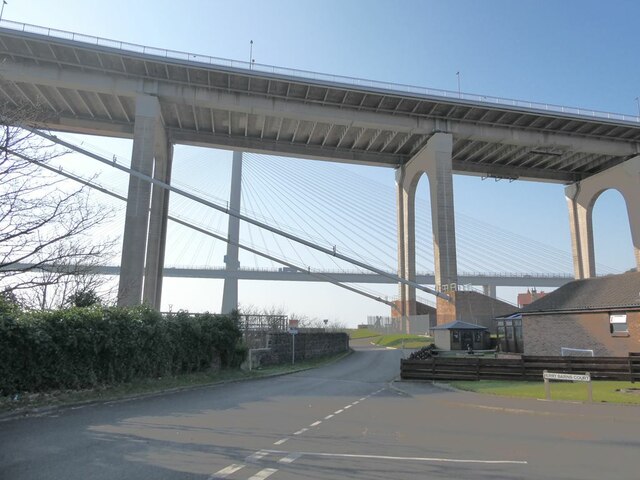
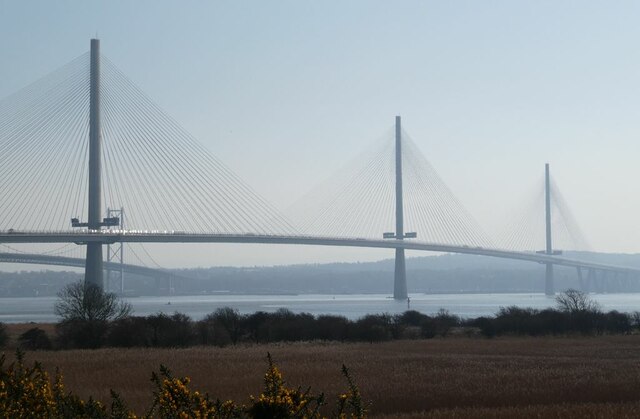
The summit of Little Hill provides panoramic views of the surrounding countryside, including the nearby towns of Falkland and Glenrothes. On clear days, it is even possible to see as far as Edinburgh and the Forth Bridges. The hill is also home to a variety of wildlife, including deer, hares, and various bird species.
Little Hill is easily accessible by road, with several parking areas available at the base of the hill. It is a popular destination for locals and tourists alike, offering a peaceful and natural escape from the bustle of everyday life.
If you have any feedback on the listing, please let us know in the comments section below.
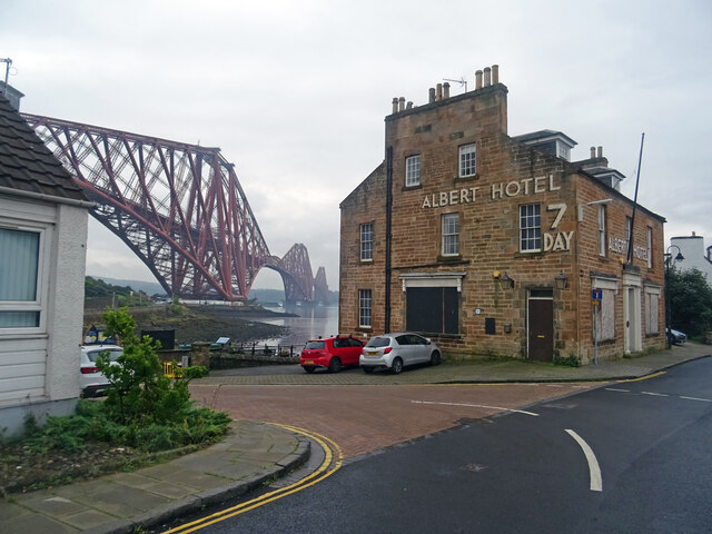
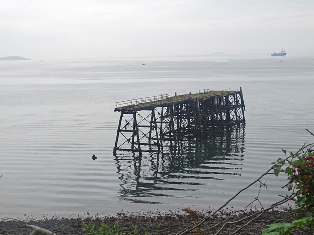
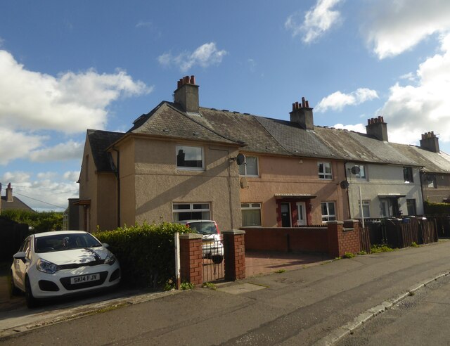
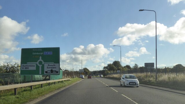
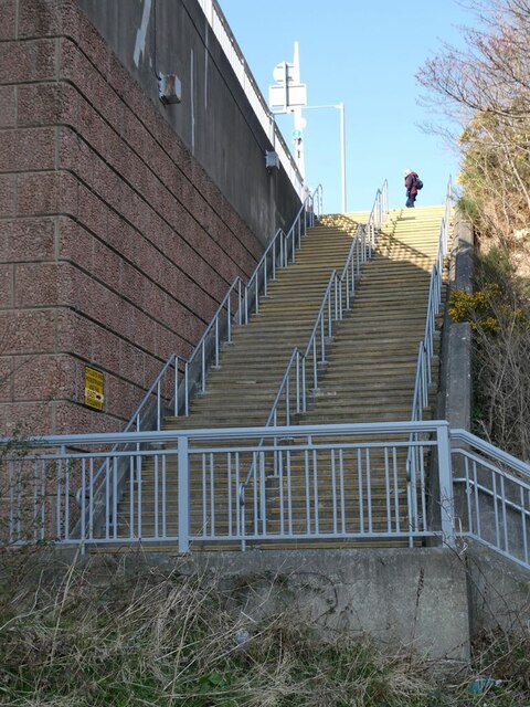
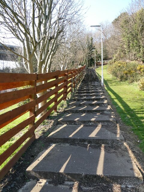
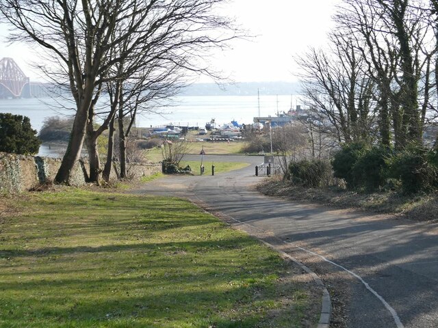
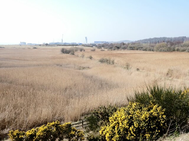
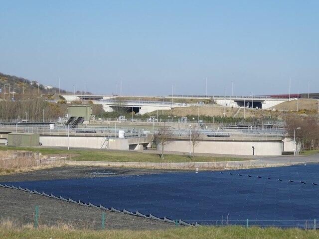
Little Hill Images
Images are sourced within 2km of 56.024816/-3.4074318 or Grid Reference NT1282. Thanks to Geograph Open Source API. All images are credited.


Little Hill is located at Grid Ref: NT1282 (Lat: 56.024816, Lng: -3.4074318)
Unitary Authority: Fife
Police Authority: Fife
What 3 Words
///flicked.letter.forge. Near Inverkeithing, Fife
Nearby Locations
Related Wikis
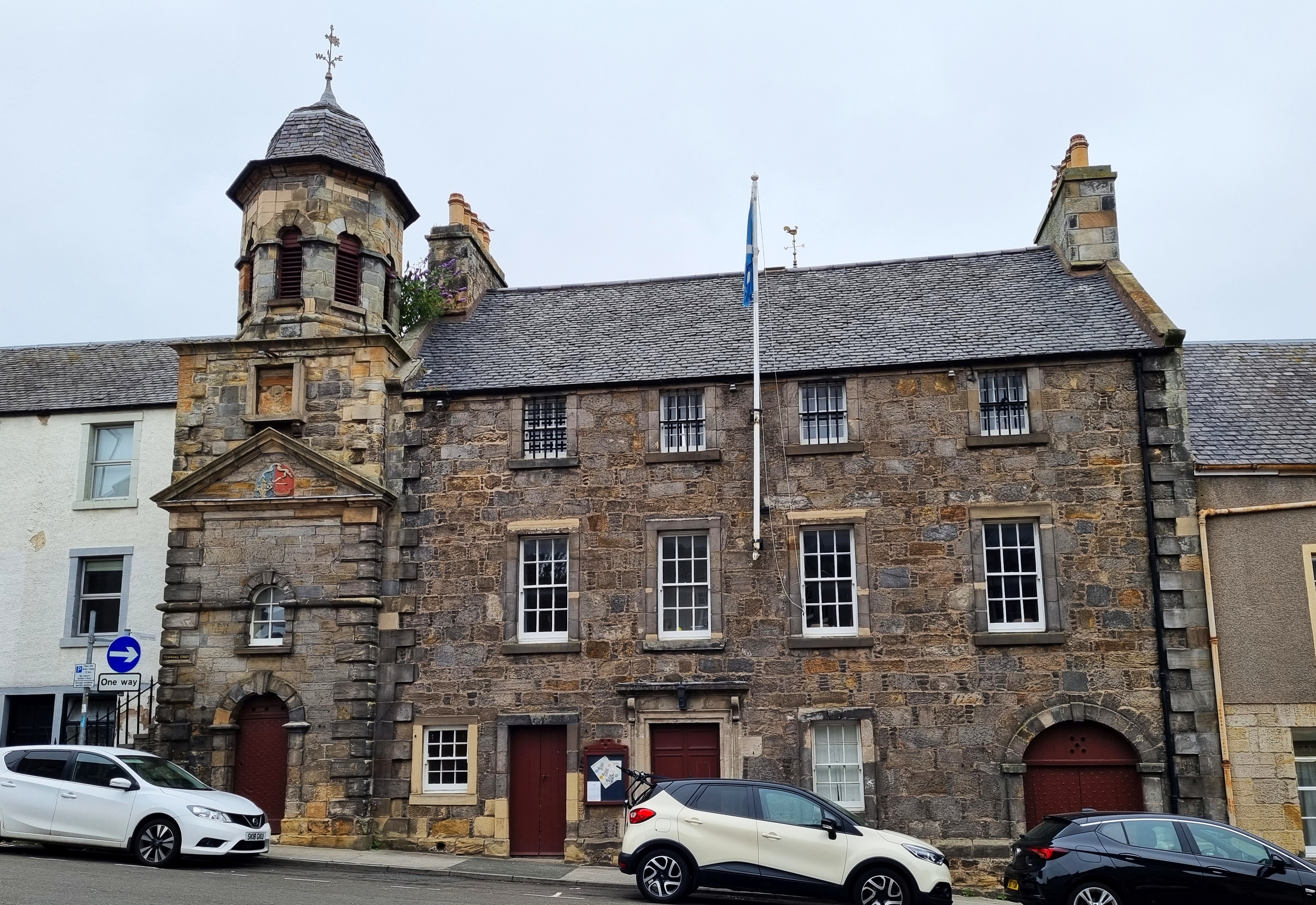
Inverkeithing Town House
Inverkeithing Town House is a municipal building in the Townhall Street, Inverkeithing, Fife, Scotland. The structure, which is used as a base by members...
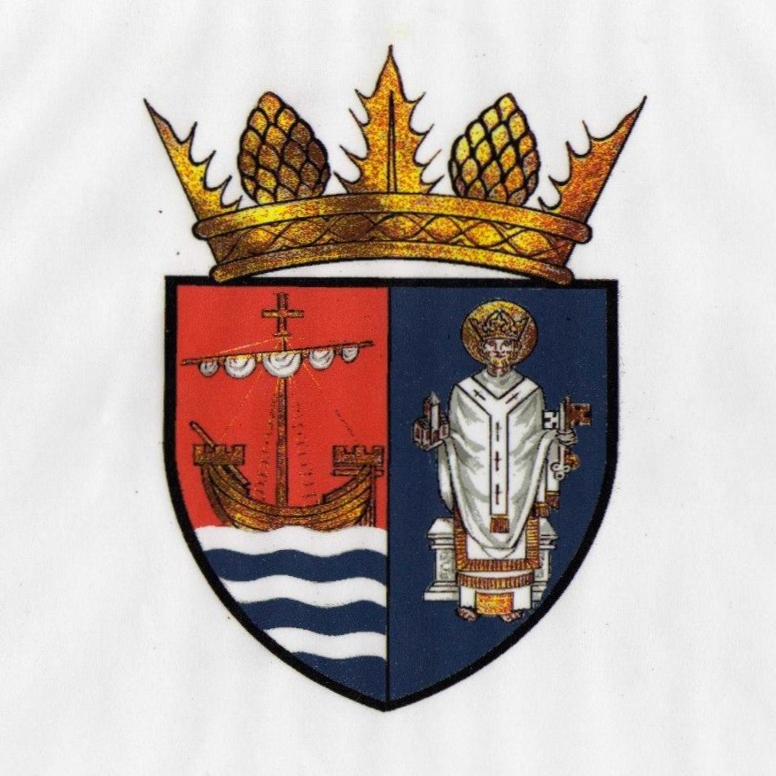
Inverkeithing
Inverkeithing ( ; Scottish Gaelic: Inbhir Chèitinn) is a coastal town and parish in Fife, Scotland, on the Firth of Forth, 9½ miles north west of Edinburgh...

Inverkeithing Hillfield Swifts F.C.
Inverkeithing Hillfield Swifts Football Club are a Scottish football club based at Dalgety Bay Sports centre in the town of Dalgety Bay, Fife. They compete...

Inverkeithing railway station
Inverkeithing railway station serves the town of Inverkeithing in Fife, Scotland. The station is managed by ScotRail and is on the Fife Circle Line, 13...
Nearby Amenities
Located within 500m of 56.024816,-3.4074318Have you been to Little Hill?
Leave your review of Little Hill below (or comments, questions and feedback).