West Hill
Hill, Mountain in Somerset Somerset West and Taunton
England
West Hill
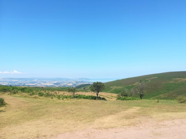
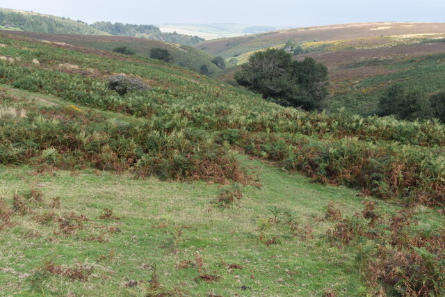
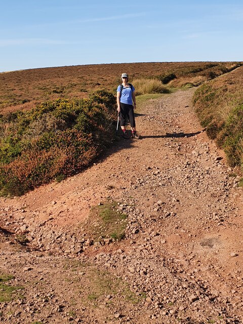
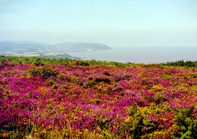
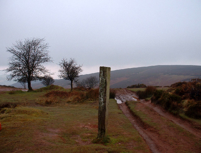
West Hill is a prominent hill located in Somerset, England. It is part of the Quantock Hills, which is a designated Area of Outstanding Natural Beauty. West Hill stands at an elevation of 383 meters (1,257 feet) and offers breathtaking panoramic views of the surrounding countryside.
This hill is a popular destination for outdoor enthusiasts and nature lovers due to its stunning landscapes and diverse wildlife. Its gentle slopes make it accessible for hikers and walkers of all levels, providing a great opportunity for outdoor activities such as hiking, mountain biking, and horseback riding.
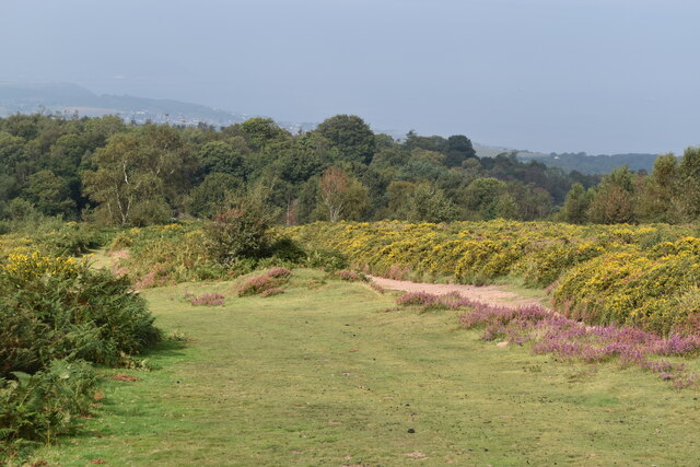
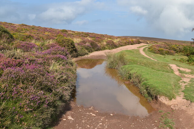
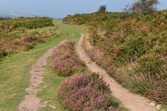
The hill is covered with a mixture of woodland, grasslands, and heather moorland, creating a rich and varied habitat for a wide range of flora and fauna. Visitors to West Hill may spot various species of birds, such as kestrels and buzzards, as well as deer, rabbits, and other small mammals.
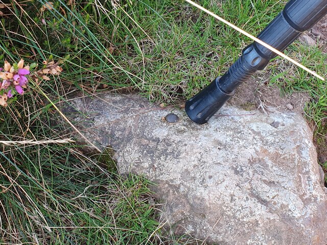
For those interested in history, West Hill has its own historical significance. It is known to have been inhabited since prehistoric times, and there are several Bronze Age burial mounds located on its slopes. These mounds serve as a reminder of the hill's ancient past and add to its overall allure.
Overall, West Hill in Somerset is a captivating and picturesque location, offering both natural beauty and historical significance. Whether you are seeking outdoor adventure or simply looking to relax in a tranquil setting, West Hill is a must-visit destination in Somerset.
If you have any feedback on the listing, please let us know in the comments section below.
West Hill Images
Images are sourced within 2km of 51.167089/-3.2544743 or Grid Reference ST1241. Thanks to Geograph Open Source API. All images are credited.


West Hill is located at Grid Ref: ST1241 (Lat: 51.167089, Lng: -3.2544743)
Administrative County: Somerset
District: Somerset West and Taunton
Police Authority: Avon and Somerset
What 3 Words
///pleaser.drifter.worry. Near Williton, Somerset
Nearby Locations
Related Wikis

Church of St Etheldreda, West Quantoxhead
The Church of St Etheldreda, also known as the Church of St Audries, is a Church of England parish church in West Quantoxhead, Somerset, England. Designed...

West Quantoxhead
West Quantoxhead is a small village and civil parish in the Somerset West and Taunton district of Somerset, England. It lies on the route of the Coleridge...

St Audries Park
St Audries Park Manor house at West Quantoxhead in the Quantock Hills of Somerset, England, was the manor house of the Acland family. It was rebuilt on...

East Quantoxhead
East Quantoxhead is a village in the district of Somerset West and Taunton, 3 miles (5 km) from West Quantoxhead, 4 miles (6 km) east of Williton, and...
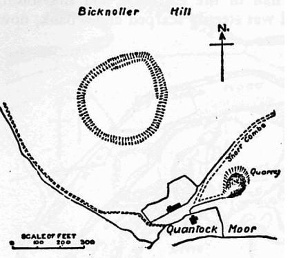
Trendle Ring
Trendle Ring (or Trundle Ring) is a late prehistoric earthwork on the Quantock Hills near Bicknoller in Somerset, England. It is a Scheduled Monument....

Bicknoller
Bicknoller is a village and civil parish on the western slopes of the Quantock Hills in the English county of Somerset. Administratively, the civil parish...

Church of St Mary, East Quantoxhead
The Anglican Church of St Mary in East Quantoxhead, Somerset, England was built in the 14th century. It is a Grade II* listed building. == History == The...
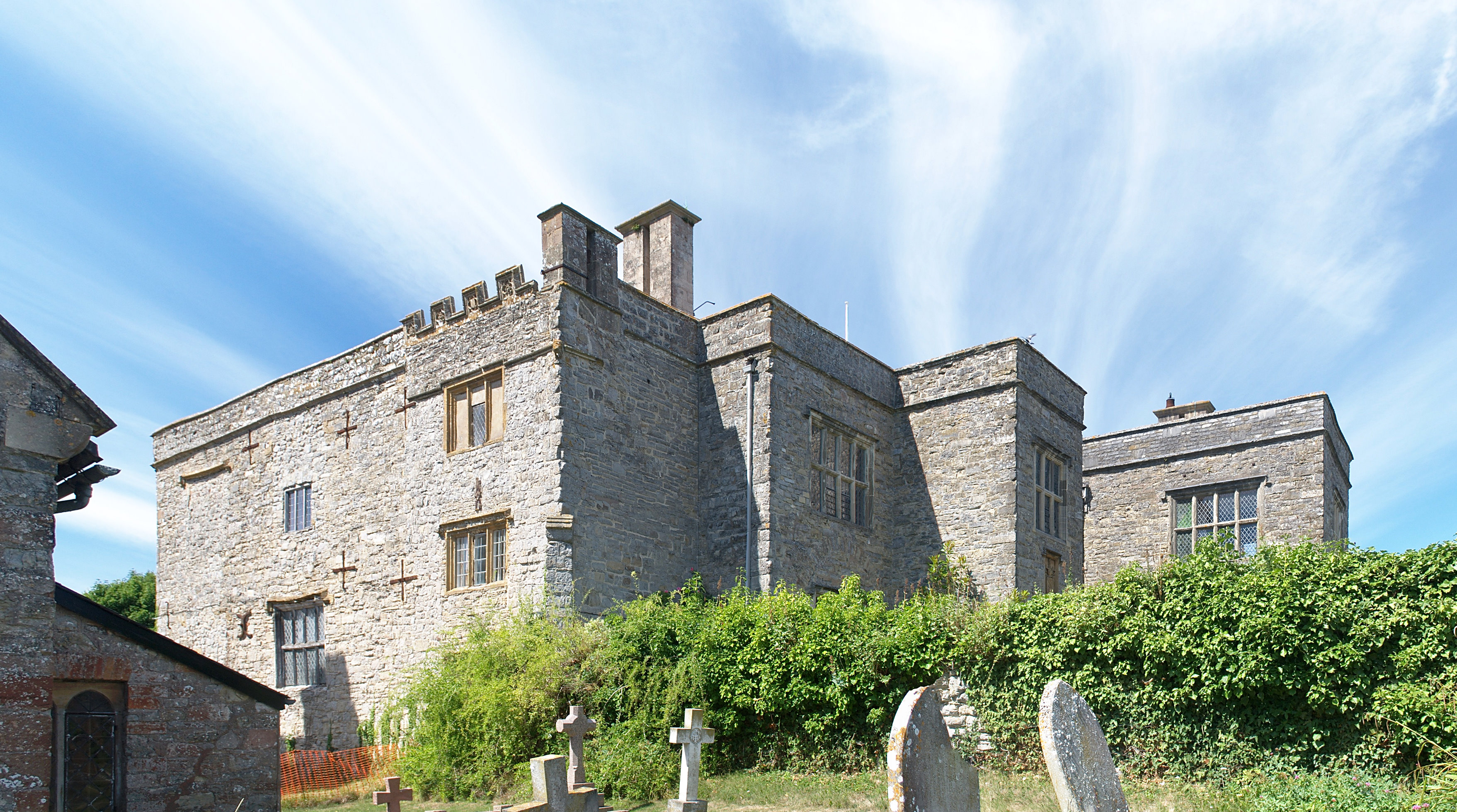
Court House, East Quantoxhead
The Court House in East Quantoxhead, Somerset, England has a medieval tower and other parts of the building which date from the 17th century. It has been...
Nearby Amenities
Located within 500m of 51.167089,-3.2544743Have you been to West Hill?
Leave your review of West Hill below (or comments, questions and feedback).