Jamestown
Settlement in Fife
Scotland
Jamestown

Jamestown is a small village located in the northeastern part of Fife, Scotland. Situated on the southern shore of the Firth of Tay, it lies approximately 2 miles west of the town of Inverkeithing. With a population of around 1,000 residents, Jamestown retains a close-knit community atmosphere.
The village's history dates back to the 19th century when it was established as a mining settlement due to the presence of coal deposits in the area. The mining industry played a significant role in shaping Jamestown's growth and development. However, over time, the industry declined, and today the village's economy is primarily centered around agriculture, tourism, and small local businesses.
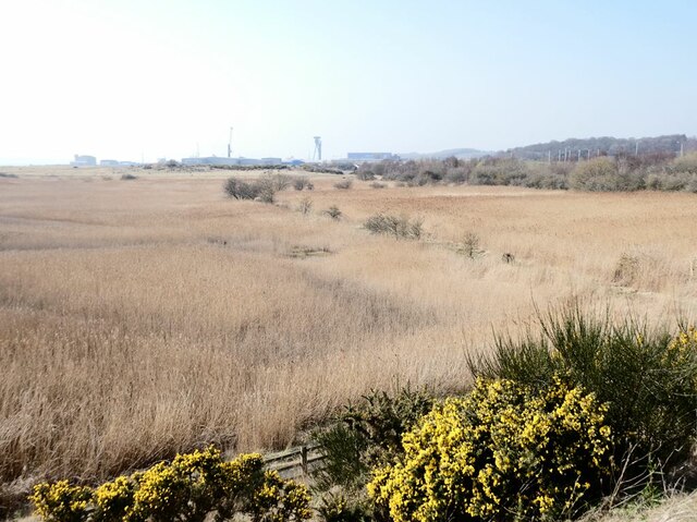
Jamestown offers its residents and visitors a picturesque setting with stunning views of the Firth of Tay and the surrounding countryside. The village is known for its charming stone cottages, which add to its character and appeal. Additionally, the nearby scenic coastal paths and beaches attract nature enthusiasts and walkers.
Amenities in Jamestown include a primary school, a community center, a village hall, and a few local shops and pubs. The village also benefits from excellent transport links, with the nearby Inverkeithing railway station providing easy access to Edinburgh and other parts of Scotland.
Jamestown's central location within Fife allows for convenient exploration of the region's attractions. The historic town of Dunfermline, with its famous abbey and palace ruins, is just a short drive away. Furthermore, the vibrant city of Edinburgh is easily accessible by both road and rail, offering an array of cultural, shopping, and entertainment opportunities.
Overall, Jamestown offers a tranquil and scenic setting while providing convenient access to nearby towns and cities, making it an attractive place to live or visit in Fife.
If you have any feedback on the listing, please let us know in the comments section below.
Jamestown Images
Images are sourced within 2km of 56.023119/-3.40365 or Grid Reference NT1282. Thanks to Geograph Open Source API. All images are credited.


Jamestown is located at Grid Ref: NT1282 (Lat: 56.023119, Lng: -3.40365)
Unitary Authority: Fife
Police Authority: Fife
What 3 Words
///wand.scam.cosmetic. Near Inverkeithing, Fife
Nearby Locations
Related Wikis

Inverkeithing Hillfield Swifts F.C.
Inverkeithing Hillfield Swifts Football Club are a Scottish football club based at Dalgety Bay Sports centre in the town of Dalgety Bay, Fife. They compete...

Inverkeithing Town House
Inverkeithing Town House is a municipal building in the Townhall Street, Inverkeithing, Fife, Scotland. The structure, which is used as a base by members...

Inverkeithing
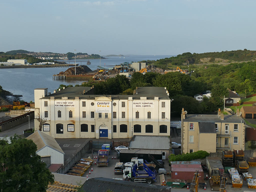
Inverkeithing ( ; Scottish Gaelic: Inbhir Chèitinn) is a port town and parish, in Fife, Scotland, on the Firth of Forth. A town of ancient origin, Inverkeithing...
Jamestown, Fife
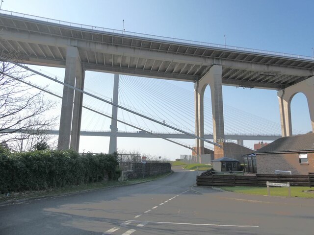
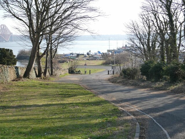
Jamestown is a hamlet in Fife, Scotland, on the south side of Inverkeithing's Inner Bay. The nearby Jamestown Viaduct carries the Fife Circle Line over...
North Queensferry railway station
North Queensferry railway station is a railway station in the village of North Queensferry, Fife, Scotland. The station is managed by ScotRail and is on...

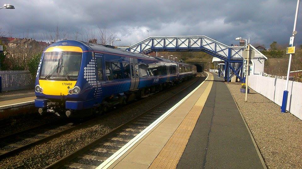
Inverkeithing railway station
Inverkeithing railway station serves the town of Inverkeithing in Fife, Scotland. The station is managed by ScotRail and is on the Fife Circle Line, 13...

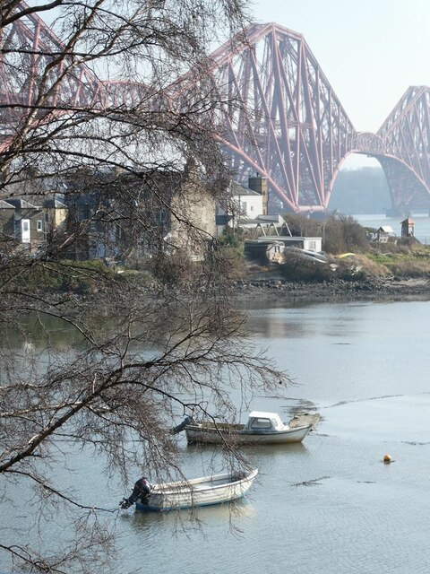
North Queensferry
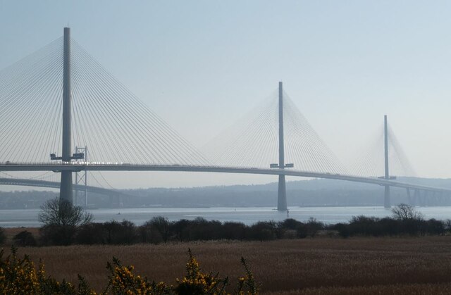
North Queensferry is a village in Fife, Scotland, situated on the Firth of Forth where the Forth Bridge, the Forth Road Bridge, and the Queensferry Crossing...
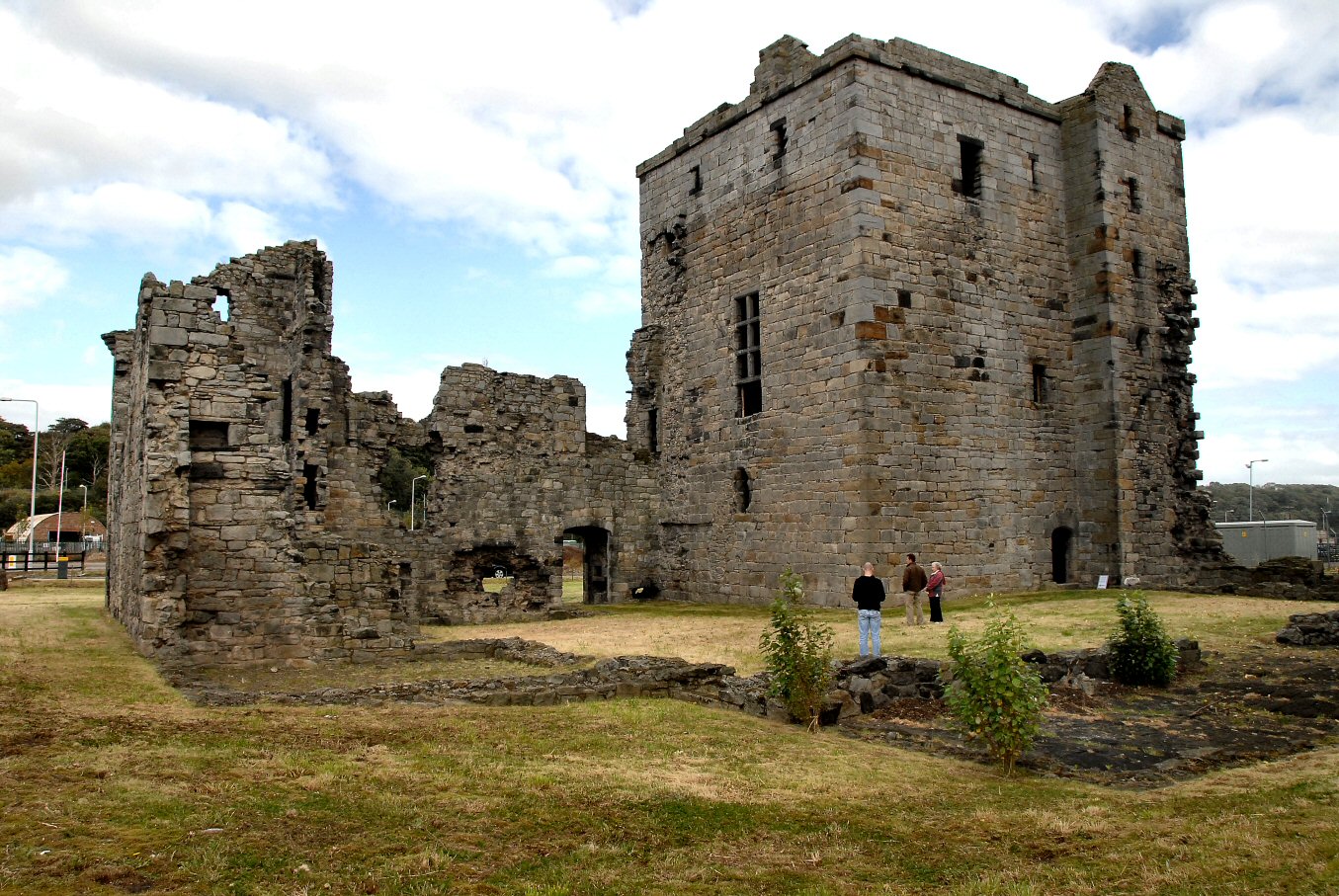
Rosyth Castle
Rosyth Castle is a fifteenth-century ruined tower house on the perimeter of Rosyth Naval Dockyard, Fife, Scotland. It originally stood on a small island...
Nearby Amenities
Located within 500m of 56.023119,-3.40365Have you been to Jamestown?
Leave your review of Jamestown below (or comments, questions and feedback).