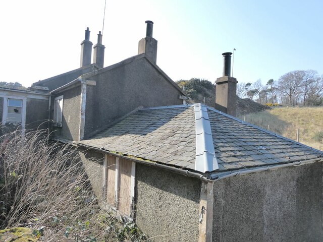
Inverkeithing
Settlement in Fife
Scotland
Inverkeithing
Inverkeithing is a historic town located in the county of Fife, Scotland. Situated on the northern shore of the Firth of Forth, it is approximately 9 miles northwest of Edinburgh. The town has a population of around 5,000 residents.
Dating back to the 11th century, Inverkeithing has a rich history and is known for its well-preserved medieval buildings. One of the prominent landmarks is the Inverkeithing Parish Church, a beautiful example of Gothic architecture. The town also boasts a 14th-century tollbooth, which has been converted into a museum, displaying artifacts and exhibits that showcase the local heritage.
Inverkeithing has a thriving community, with a range of amenities and services available. It features several shops, restaurants, and pubs, catering to both residents and visitors. The High Street is the town's main commercial area, offering a variety of local businesses.
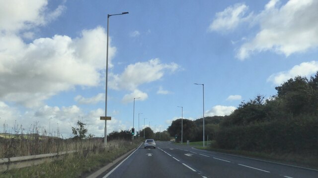
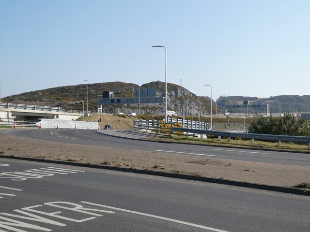
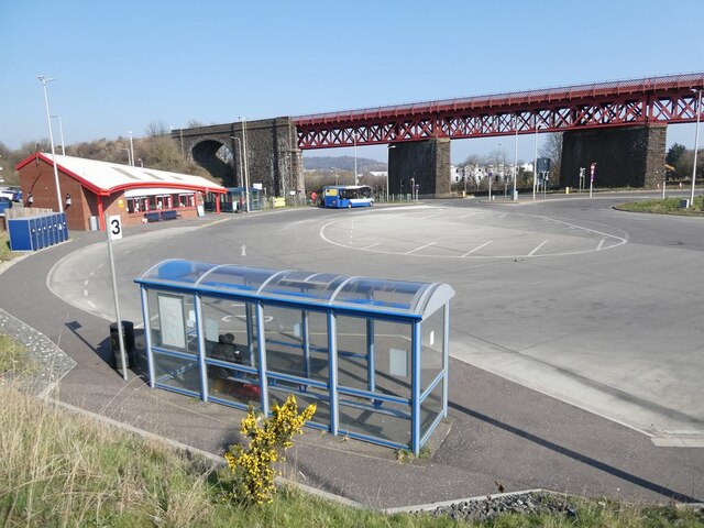
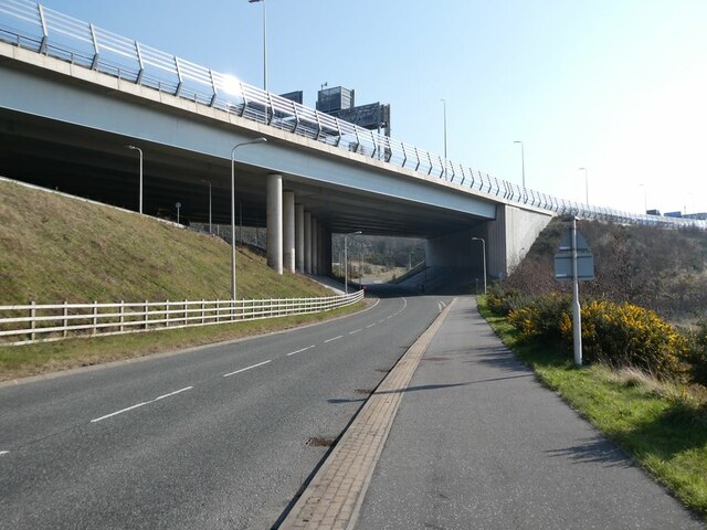
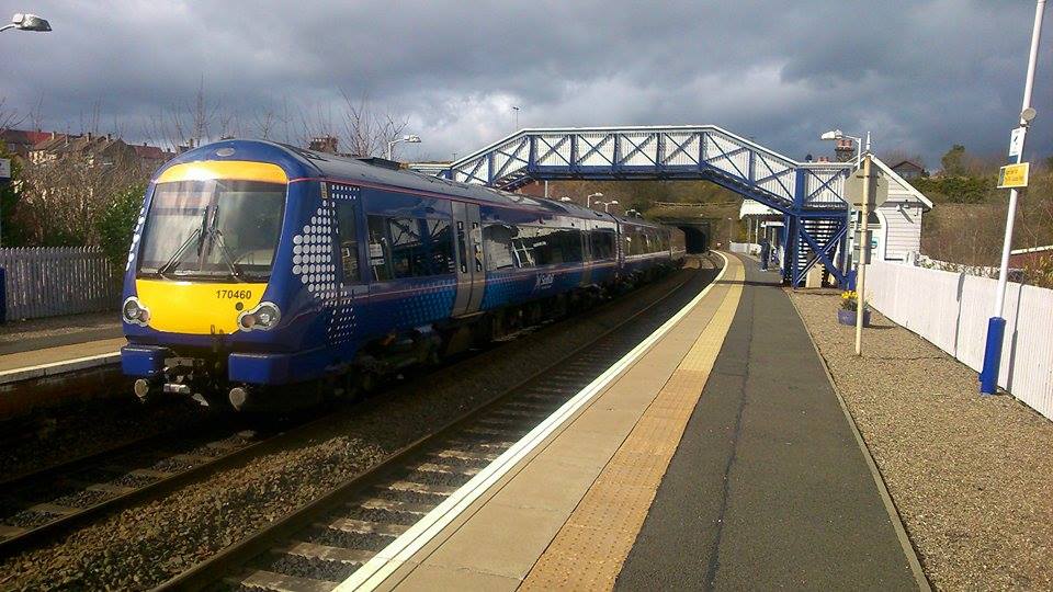
Transportation in Inverkeithing is convenient, with excellent rail and road links. The town has its own railway station, providing regular services to Edinburgh, Glasgow, and other major cities. Additionally, the nearby M90 motorway connects Inverkeithing to the rest of Scotland, making it easily accessible for commuters.
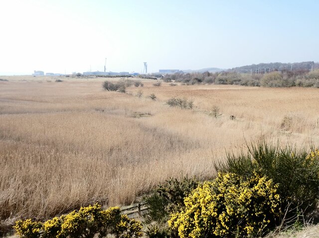
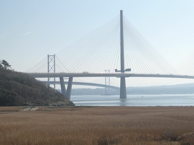
The scenic coastline of Inverkeithing offers stunning views of the Forth Bridges, including the iconic Forth Rail Bridge, a UNESCO World Heritage Site. There are also several parks and green spaces, providing opportunities for outdoor activities and leisure.
Inverkeithing is a charming town that combines its historical heritage with modern amenities, making it an attractive place to live or visit in Fife.
If you have any feedback on the listing, please let us know in the comments section below.
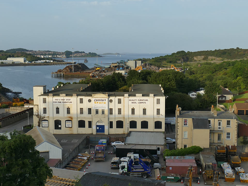
Inverkeithing Images
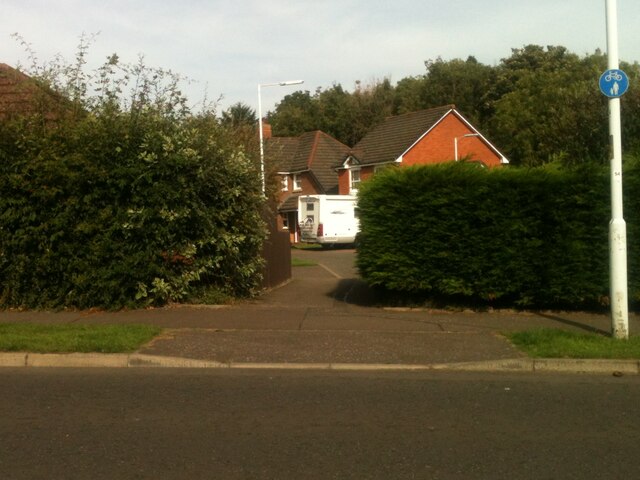
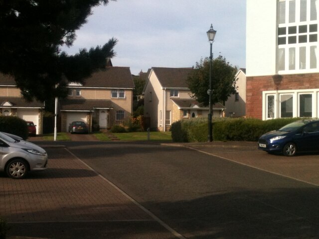
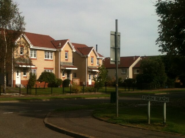
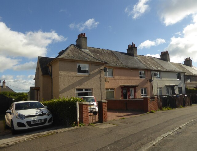
Images are sourced within 2km of 56.030338/-3.3983411 or Grid Reference NT1282. Thanks to Geograph Open Source API. All images are credited.


Inverkeithing is located at Grid Ref: NT1282 (Lat: 56.030338, Lng: -3.3983411)
Unitary Authority: Fife
Police Authority: Fife
What 3 Words
///reunion.frostbite.together. Near Inverkeithing, Fife
Nearby Locations
Related Wikis
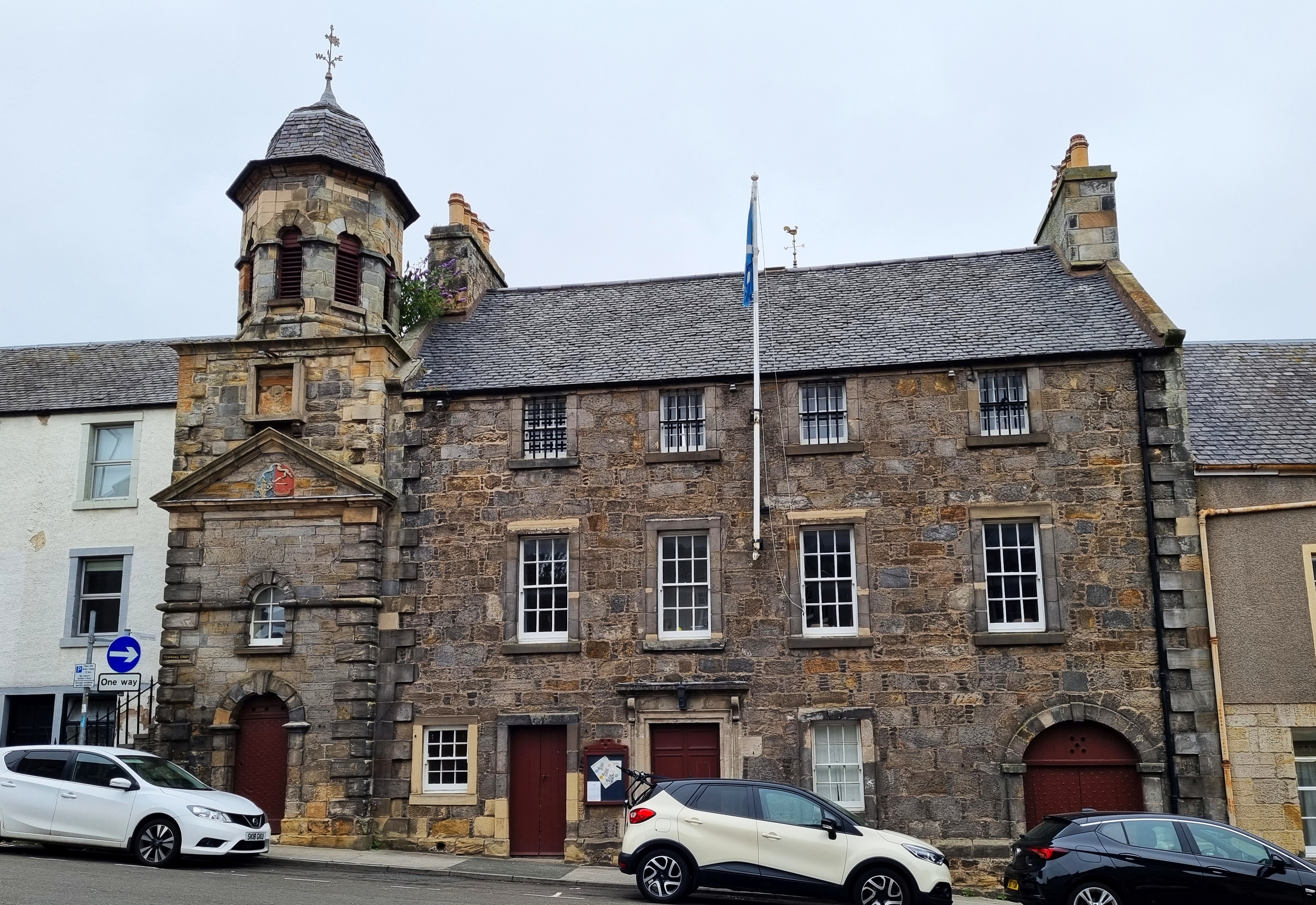
Inverkeithing Town House
Inverkeithing Town House is a municipal building in the Townhall Street, Inverkeithing, Fife, Scotland. The structure, which is used as a base by members...

Inverkeithing
Inverkeithing ( ; Scottish Gaelic: Inbhir Chèitinn) is a port town and parish, in Fife, Scotland, on the Firth of Forth. A town of ancient origin, Inverkeithing...

Inverkeithing Hillfield Swifts F.C.
Inverkeithing Hillfield Swifts Football Club are a Scottish football club based at Dalgety Bay Sports centre in the town of Dalgety Bay, Fife. They compete...

Inverkeithing railway station
Inverkeithing railway station serves the town of Inverkeithing in Fife, Scotland. The station is managed by ScotRail and is on the Fife Circle Line, 13...
Inverkeithing High School
Inverkeithing High School is a secondary school located in Inverkeithing, a historic former port town on the Fife coast. The existing building dates from...
Jamestown, Fife
Jamestown is a hamlet in Fife, Scotland, on the south side of Inverkeithing's Inner Bay. The nearby Jamestown Viaduct carries the Fife Circle Line over...
Hillend, Fife
Hillend is a small village in Fife, Scotland. It is located roughly to the north-west of Dalgety Bay. It is the location of Heil's manufacturing facilities...
North Queensferry railway station
North Queensferry railway station is a railway station in the village of North Queensferry, Fife, Scotland. The station is managed by ScotRail and is on...
Nearby Amenities
Located within 500m of 56.030338,-3.3983411Have you been to Inverkeithing?
Leave your review of Inverkeithing below (or comments, questions and feedback).