Muckle Hill
Hill, Mountain in Fife
Scotland
Muckle Hill

Muckle Hill is a prominent hill located in Fife, Scotland. It is situated approximately 2 miles north of the town of Cupar and 12 miles northeast of the city of Dundee. With an elevation of 354 meters (1161 feet), Muckle Hill stands as one of the highest points in the region, offering stunning panoramic views of the surrounding countryside.
The hill is part of the Lomond Hills range, which stretches across central Fife. Muckle Hill is known for its distinctive shape, with a rounded summit that is easily recognizable from a distance. The landscape surrounding the hill mainly consists of rolling hills, farmland, and scattered woodlands, creating a picturesque backdrop.
Muckle Hill is a popular destination for outdoor enthusiasts, hikers, and nature lovers. Several walking trails lead visitors to the summit, providing an opportunity to explore the diverse flora and fauna of the area. The hill also offers a range of recreational activities such as birdwatching, picnicking, and photography.
The hill is accessible by road, with a car park located at the base of the hill, providing convenient access for visitors. From the car park, a well-marked trail leads to the summit, ensuring a safe and enjoyable hike for all abilities.
Overall, Muckle Hill is a notable landmark in Fife, offering breathtaking views, recreational opportunities, and a chance to immerse oneself in the natural beauty of the Scottish countryside.
If you have any feedback on the listing, please let us know in the comments section below.
Muckle Hill Images
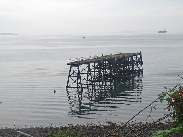
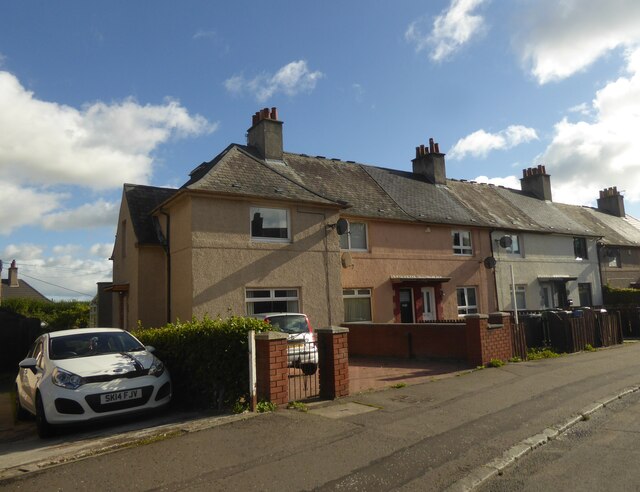
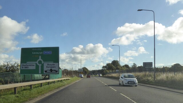
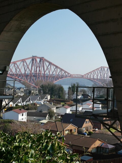
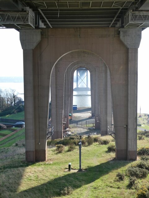
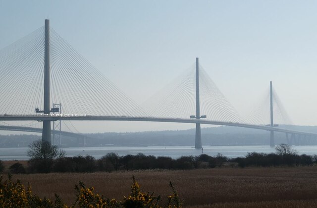
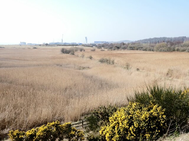
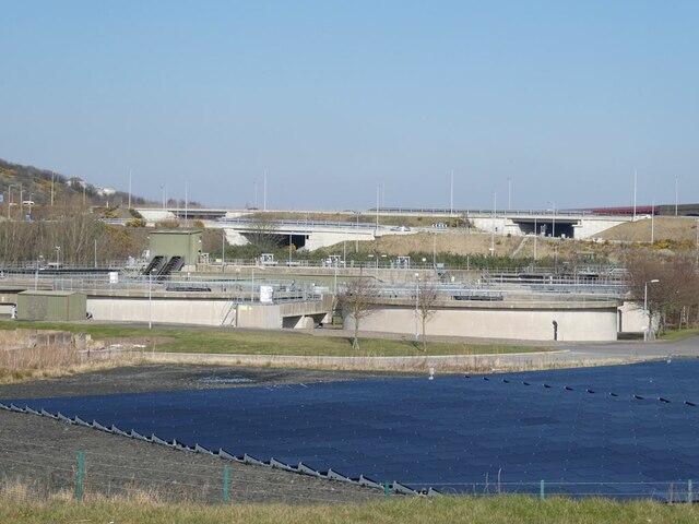
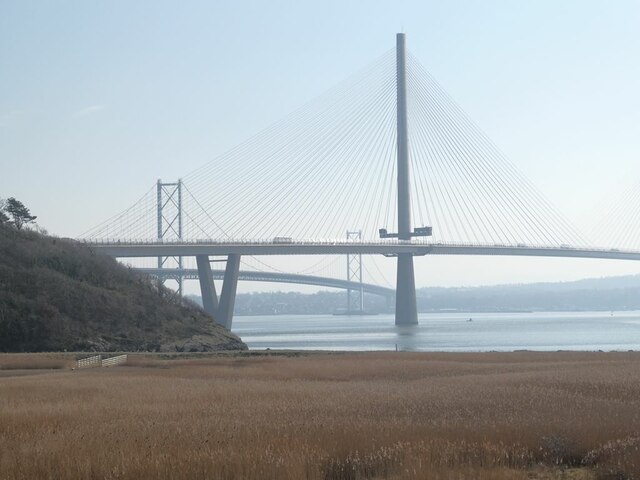
Images are sourced within 2km of 56.026014/-3.4072026 or Grid Reference NT1282. Thanks to Geograph Open Source API. All images are credited.


Muckle Hill is located at Grid Ref: NT1282 (Lat: 56.026014, Lng: -3.4072026)
Unitary Authority: Fife
Police Authority: Fife
What 3 Words
///sleeps.club.launcher. Near Inverkeithing, Fife
Nearby Locations
Related Wikis
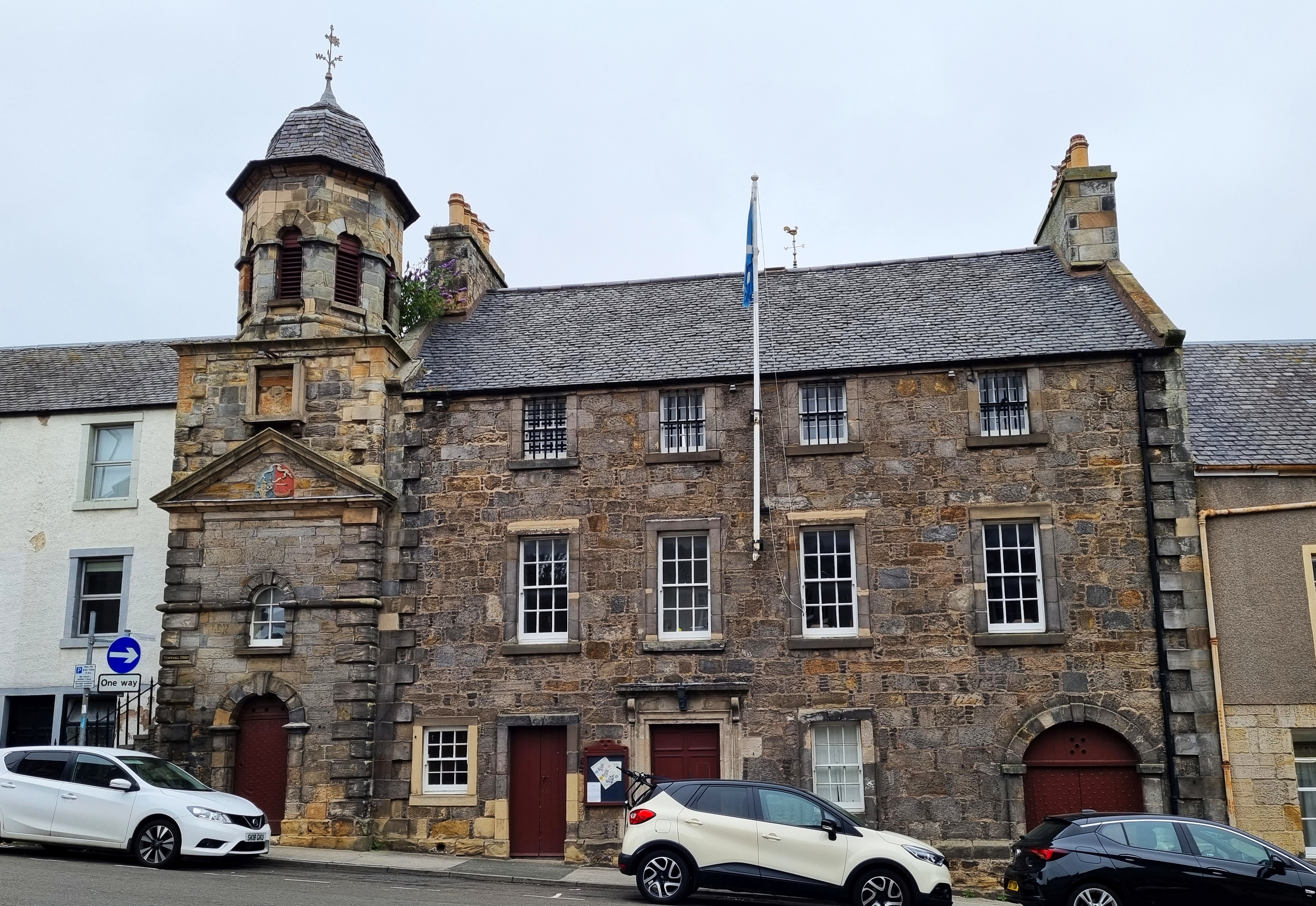
Inverkeithing Town House
Inverkeithing Town House is a municipal building in the Townhall Street, Inverkeithing, Fife, Scotland. The structure, which is used as a base by members...

Inverkeithing
Inverkeithing ( ; Scottish Gaelic: Inbhir Chèitinn) is a coastal town and parish in Fife, Scotland, on the Firth of Forth, 9½ miles north west of Edinburgh...

Inverkeithing Hillfield Swifts F.C.
Inverkeithing Hillfield Swifts Football Club are a Scottish football club based at Dalgety Bay Sports centre in the town of Dalgety Bay, Fife. They compete...

Inverkeithing railway station
Inverkeithing railway station serves the town of Inverkeithing in Fife, Scotland. The station is managed by ScotRail and is on the Fife Circle Line, 13...
Nearby Amenities
Located within 500m of 56.026014,-3.4072026Have you been to Muckle Hill?
Leave your review of Muckle Hill below (or comments, questions and feedback).