Garelet Hill
Hill, Mountain in Peeblesshire
Scotland
Garelet Hill
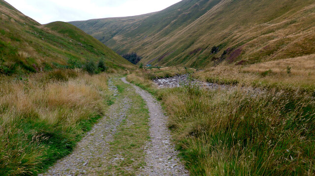
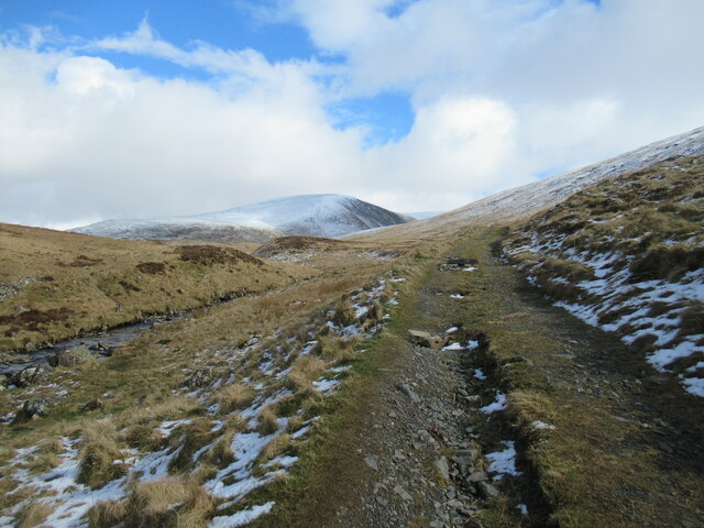
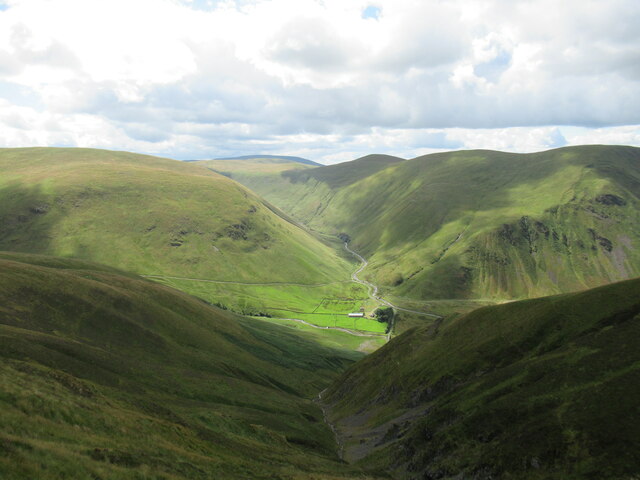
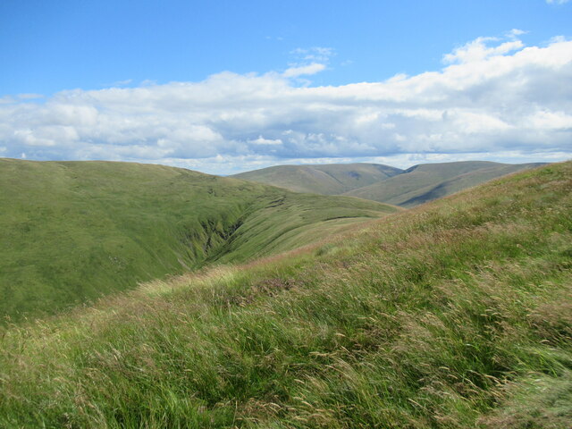
Garlet Hill is a prominent hill located in Peeblesshire, Scotland. It is part of the Southern Uplands range, which runs parallel to the border between Scotland and England. Standing at an impressive height of 521 meters (1,709 feet), it offers breathtaking panoramic views of the surrounding countryside.
The hill is primarily composed of sedimentary rocks, including greywacke and shale, which were formed over millions of years through geological processes. These rocks give the hill its distinct appearance and contribute to its stability. The summit of Garlet Hill is covered in heather and grasses, creating a picturesque landscape that changes with the seasons.
Garlet Hill is a popular destination for hikers and nature enthusiasts due to its accessibility and stunning vistas. A well-maintained footpath leads to the summit, offering a moderate challenge to those seeking adventure. Along the way, visitors can enjoy the diverse flora and fauna, with sightings of birds, rabbits, and deer being quite common.
The hill is also significant historically, with evidence of ancient settlements in the area. Archaeological remains, such as stone circles and burial cairns, have been discovered on the slopes of Garlet Hill, highlighting its cultural importance to the region.
Overall, Garlet Hill is a captivating natural landmark that showcases the beauty of Peeblesshire. Its impressive height, geological features, and rich history make it an ideal destination for outdoor enthusiasts and those seeking a connection to Scotland's past.
If you have any feedback on the listing, please let us know in the comments section below.
Garelet Hill Images
Images are sourced within 2km of 55.467338/-3.3871198 or Grid Reference NT1220. Thanks to Geograph Open Source API. All images are credited.


Garelet Hill is located at Grid Ref: NT1220 (Lat: 55.467338, Lng: -3.3871198)
Unitary Authority: The Scottish Borders
Police Authority: The Lothians and Scottish Borders
What 3 Words
///stir.hairspray.crunches. Near Moffat, Dumfries & Galloway
Nearby Locations
Related Wikis

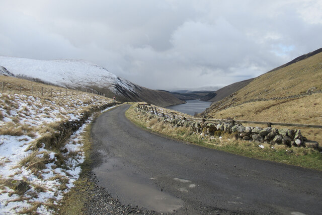
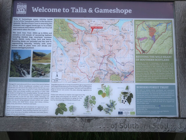
Talla Water
Talla Water is a river in the Scottish Borders area of Scotland, near Tweedsmuir. It feeds the Talla Reservoir, and is a tributary of the River Tweed....

Talla Reservoir
Talla Reservoir, located a mile from Tweedsmuir, Scottish Borders, Scotland, is an earth-work dam fed by Talla Water. The reservoir is supplemented by...

Fruid Reservoir
Fruid is a small reservoir in the Scottish Borders area of Scotland, UK, near Menzion. It is formed by damming the Fruid Water, and supplements the contents...

Victoria Lodge railway station
Victoria Lodge railway station served the village of Tweedsmuir, Scottish Borders, Scotland from 1897 to 1905 on the Symington, Biggar and Broughton Railway...
Nearby Amenities
Located within 500m of 55.467338,-3.3871198Have you been to Garelet Hill?
Leave your review of Garelet Hill below (or comments, questions and feedback).