Cnoc na Greine

Hill, Mountain in Inverness-shire

Scotland

Cnoc na Greine

Dam and footbridge. Lochannan Lacasdail The wooden footbridge almost certainly replaces a former stone bridge which carried the road. There is now a modern road bridge out of shot on the right.
Dam and footbridge. Lochannan Lacasdail Credit: Richard Dorrell

Cnoc na Greine is a prominent hill located in Inverness-shire, Scotland. It is situated in the western part of the region, near the village of Invergarry. With an elevation of approximately 515 meters (1,690 feet), it offers breathtaking panoramic views of the surrounding landscape.

The hill is part of the larger Glen Garry area, which is known for its stunning natural beauty and diverse flora and fauna. Cnoc na Greine is characterized by its steep slopes, covered in heather and grasses, which provide a habitat for a variety of bird species, including red grouse and golden eagles.

The summit of Cnoc na Greine can be reached via a well-marked trail that starts from the nearby village. The hike is of moderate difficulty, with some steep sections, but the reward is well worth the effort. From the top, visitors can enjoy stunning vistas of Loch Garry to the south, the Great Glen to the north, and the surrounding mountain ranges.

The hill is a popular destination for outdoor enthusiasts, including hikers and nature lovers. It offers a peaceful and serene environment, away from the bustling city life. The area is also rich in historical and cultural significance, with remnants of old settlements and ancient burial sites in the vicinity.

Overall, Cnoc na Greine is a beautiful and accessible hill in Inverness-shire, offering both natural beauty and a touch of history. It is a must-visit for those seeking outdoor adventures and breathtaking views of the Scottish Highlands.

If you have any feedback on the listing, please let us know in the comments section below.

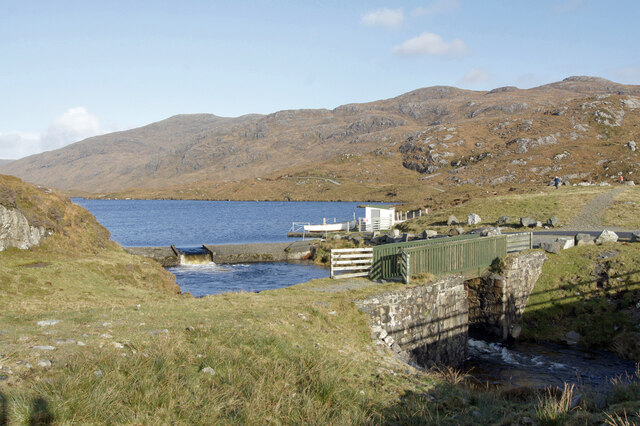
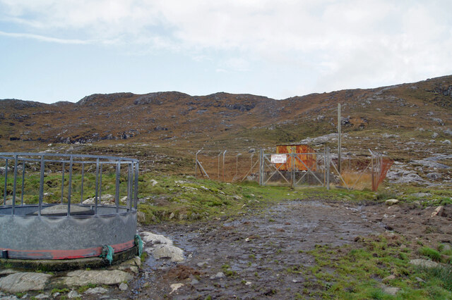
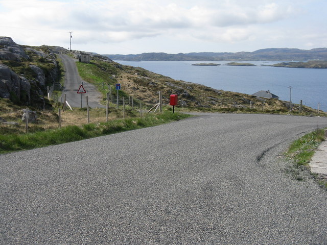
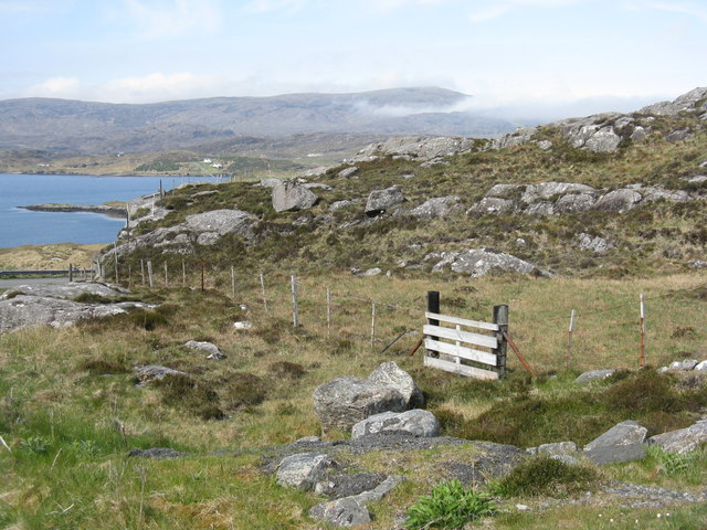
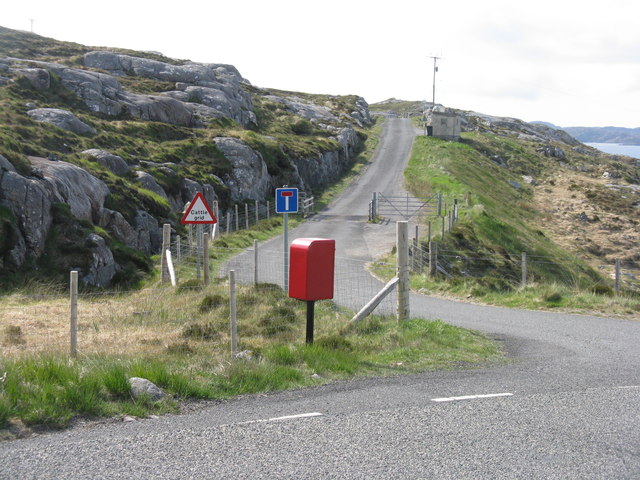
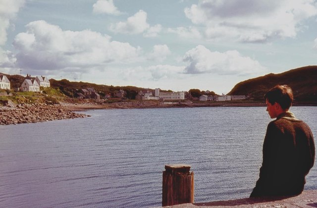
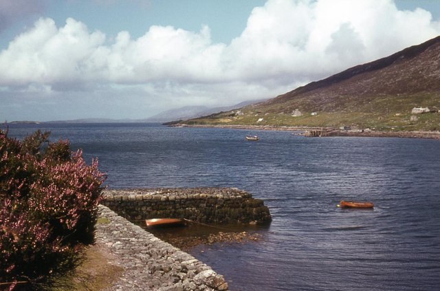
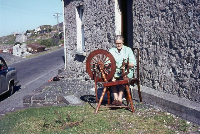
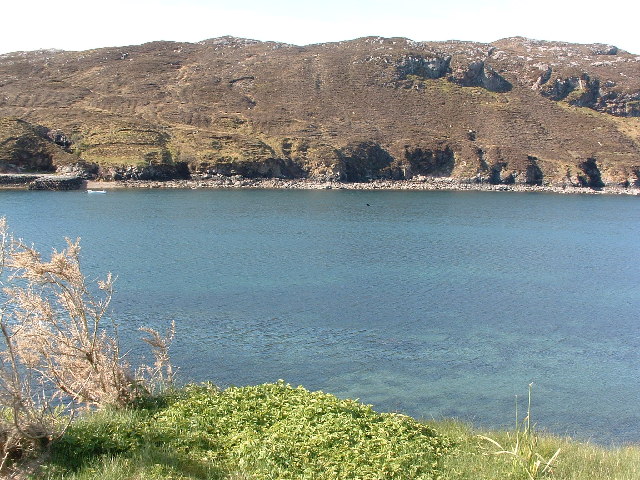
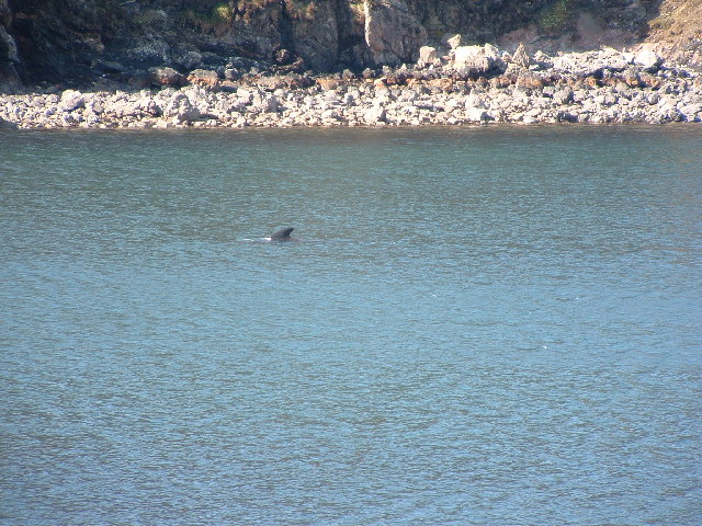
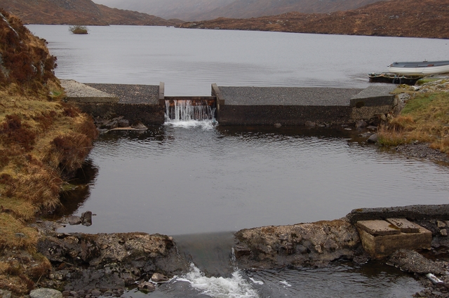
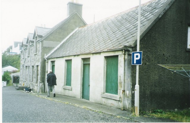
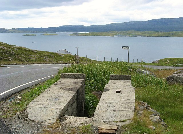
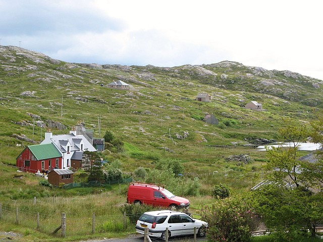
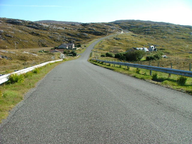
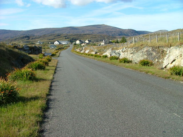
Cnoc na Greine Images

Images are sourced within 2km of 57.897863/-6.7887512 or Grid Reference NG1699. Thanks to Geograph Open Source API. All images are credited.

Dam and footbridge. Lochannan Lacasdail The wooden footbridge almost certainly replaces a former stone bridge which carried the road. There is now a modern road bridge out of shot on the right.
Dam and footbridge. Lochannan Lacasdail
The wooden footbridge almost certainly replaces a former stone bridge which carried the road. There is now a modern road bridge out of shot on the right.
Explosives store The sign on the fence reads 'Explosives Store', though the rickety looking building within looks like it has seen better days, so I doubt any explosives are stored there now, and I have to wonder why they were ever there is the first place.
Explosives store
The sign on the fence reads 'Explosives Store', though the rickety looking building within looks like it has seen better days, so I doubt any explosives are stored there now, and I have to wonder why they were ever there is the first place.
Post box at Urgha Beag At the turn off from the Scalpay road to Urgha Beag. Looking out to Bàgh Urgha Beag.
Post box at Urgha Beag
At the turn off from the Scalpay road to Urgha Beag. Looking out to Bàgh Urgha Beag.
Rocky hillside at Urgha Beag Looking out over Bàgh Urgha Beag.
Rocky hillside at Urgha Beag
Looking out over Bàgh Urgha Beag.
Urgha road end With post box, road signs and cattle grid.
Urgha road end
With post box, road signs and cattle grid.
West Loch Tarbert from the pier
West Loch Tarbert piers
Spinning wool for tweed in Harris
Tarbert Fire Station
The Lovely Janice They don't make them like that any more! Bus parked in the car park of the Harris Hotel
The Lovely Janice
They don't make them like that any more! Bus parked in the car park of the Harris Hotel
View of West Bay at Tarbert View from the pier on the north side of the bay towards the pier on the south side, the interesting bit of the photo is the dorsal fin a bit right and up from the centre.
View of West Bay at Tarbert
View from the pier on the north side of the bay towards the pier on the south side, the interesting bit of the photo is the dorsal fin a bit right and up from the centre.
Tarbert bay Whale presumably a Minke whale, not huge but the biggest I've seen
Tarbert bay Whale
presumably a Minke whale, not huge but the biggest I've seen
Dam on Loch Lacasdail A small dam at the south of the loch.
Dam on Loch Lacasdail
A small dam at the south of the loch.
MacAskill's former store Tarbert For many years these premises were run by a Mr MacAskill as a general store. He continued to work in the store until his nineties.
MacAskill's former store Tarbert
For many years these premises were run by a Mr MacAskill as a general store. He continued to work in the store until his nineties.
Car ramp near Urgha Beag Several of these outdoor concrete car ramps are to be found in seemingly unlikely roadside locations in Harris.  They were apparently built as part of a Job Creation scheme in the late 20th century, and are available for public use.  The example in the photo is situated on the minor road from Tarbert to Scalpay, near its junction with the road to Urgha.
Car ramp near Urgha Beag
Several of these outdoor concrete car ramps are to be found in seemingly unlikely roadside locations in Harris. They were apparently built as part of a Job Creation scheme in the late 20th century, and are available for public use. The example in the photo is situated on the minor road from Tarbert to Scalpay, near its junction with the road to Urgha.
Urgha Beag Urgha Beag consists of a handful of crofts on the minor road running between Tarbert and the island of Scalpay.
Urgha Beag
Urgha Beag consists of a handful of crofts on the minor road running between Tarbert and the island of Scalpay.
Houses at Oban A small settlement on the Tarbert to Scalpay road.
Houses at Oban
A small settlement on the Tarbert to Scalpay road.
Looking Towards Tarbert On the Scalpay to Tarbert road.
Looking Towards Tarbert
On the Scalpay to Tarbert road.
Show me another place!

Cnoc na Greine is located at Grid Ref: NG1699 (Lat: 57.897863, Lng: -6.7887512)

Unitary Authority: Na h-Eileanan an Iar

Police Authority: Highlands and Islands

What 3 Words

///family.applauded.evaded. Near Tarbert, Na h-Eileanan Siar

Related Wikis

Harris distillery

Harris distillery is a Scotch whisky and Gin distillery in Tarbert on the Isle of Harris, Scotland. The distillery was the first legal distillery ever...

Tarbert, Harris

Tarbert (Scottish Gaelic: An Tairbeart [ən̪ˠ ˈt̪ɛrʲɛbərˠʃt̪]) is the main community on Harris in the Western Isles of Scotland. The name means "isthmus...

Harris, Outer Hebrides

Harris (Scottish Gaelic: Na Hearadh, pronounced [nə ˈhɛɾəɣ] ) is the southern and more mountainous part of Lewis and Harris, the largest island in the...

Sgeotasaigh

Scotasay (Scottish Gaelic: Sgeotasaigh) is small island in the Outer Hebrides of Scotland. It lies 1 kilometre (0.6 miles) off the east coast of Harris...

East Loch Tarbert

East Loch Tarbert (Scottish Gaelic: Loch an Tairbeairt) is a sea loch that lies to the east of Harris in the Outer Hebrides of Scotland. The loch contains...

Ardhasaig

Ardhasaig (Scottish Gaelic: Àird Àsaig) is a settlement on the western coast of north Harris, in the Outer Hebrides, Scotland. Ardhasaig is also within...

Bun Abhainn Eadarra

Bun Abhainn Eadarra or Bunavoneadar is a hamlet adjacent to the Loch Bun Abhainn Eadarra, on the south shore of North Harris, in the Outer Hebrides, Scotland...

Rèinigeadal

Rèinigeadal (or Rhenigidale) is a small settlement in Harris, in the Western Isles in Scotland. It is situated on the east coast of Harris 8 kilometres...

Nearby Amenities

Located within 500m of 57.897863,-6.7887512
Created By: dmgroom_coastlines
Lat/Long: 57.8966676/-6.7862224
Noexit: yes
Lat/Long: 57.8976266/-6.7935272
Barrier: cattle_grid
Lat/Long: 57.8998179/-6.7846977
Entrance: yes
Lat/Long: 57.8980021/-6.7969848
Entrance: yes
Lat/Long: 57.8983015/-6.7970895
Street Lamp
Lamp Type: electric
Lat/Long: 57.898299/-6.796765
Street Lamp
Lamp Type: electric
Lat/Long: 57.898252/-6.7961712
Street Lamp
Lamp Type: electric
Lat/Long: 57.8984975/-6.7966805
Oban
Place: isolated_dwelling
Lat/Long: 57.8990307/-6.7832104
Generator Method: photovoltaic
Generator Output Electricity: small_installation
Generator Source: solar
Generator Type: solar_photovoltaic_panel
Power: generator
Lat/Long: 57.9002587/-6.78571
Generator Method: photovoltaic
Generator Output Electricity: small_installation
Generator Source: solar
Generator Type: solar_photovoltaic_panel
Power: generator
Lat/Long: 57.9001938/-6.786064
Generator Method: photovoltaic
Generator Output Electricity: small_installation
Generator Source: solar
Generator Type: solar_photovoltaic_panel
Power: generator
Lat/Long: 57.9000606/-6.7864436
Barrier: cattle_grid
Lat/Long: 57.8985507/-6.7829027
Barrier: cattle_grid
Lat/Long: 57.8976734/-6.7923937
Street Lamp
Lamp Type: electric
Lat/Long: 57.8983557/-6.7955961
Street Lamp
Lamp Type: electric
Lat/Long: 57.898462/-6.7951265
Street Lamp
Lamp Type: electric
Lat/Long: 57.8985285/-6.7946621
Street Lamp
Lamp Type: electric
Lat/Long: 57.8984942/-6.7934998
Street Lamp
Lamp Type: electric
Lat/Long: 57.8985429/-6.7940945
Street Lamp
Lamp Type: electric
Lat/Long: 57.8983962/-6.7927864
Street Lamp
Lamp Type: electric
Lat/Long: 57.8983989/-6.7921981
Street Lamp
Lamp Type: electric
Lat/Long: 57.898488/-6.7916485
Street Lamp
Lamp Type: electric
Lat/Long: 57.8986018/-6.7911003
Street Lamp
Lamp Type: electric
Lat/Long: 57.898632/-6.7904875
Barrier: cattle_grid
Lat/Long: 57.8987105/-6.790091
Barrier: cattle_grid
Lat/Long: 57.8986083/-6.790555
Street Lamp
Lamp Type: electric
Lat/Long: 57.8982511/-6.7903255
Street Lamp
Lamp Type: electric
Lat/Long: 57.8992949/-6.7960791
Street Lamp
Lamp Type: electric
Lat/Long: 57.8993862/-6.7959316
Street Lamp
Lamp Type: electric
Lat/Long: 57.8994539/-6.7956057
Street Lamp
Lamp Type: electric
Lat/Long: 57.8993106/-6.7956956
Street Lamp
Lamp Type: electric
Lat/Long: 57.8989735/-6.7963031
Street Lamp
Lamp Type: electric
Lat/Long: 57.8996292/-6.7961287
Material: wood
Power: pole
Lat/Long: 57.8996278/-6.7951699
Street Lamp
Lamp Type: electric
Lat/Long: 57.8993906/-6.7950599
Street Lamp
Lamp Type: electric
Lat/Long: 57.8987539/-6.7960307
Street Lamp
Lamp Type: electric
Lat/Long: 57.8992221/-6.7963817
Street Lamp
Lamp Type: electric
Lat/Long: 57.8992752/-6.7961986
Street Lamp
Lamp Type: electric
Lat/Long: 57.8994789/-6.7964062
Material: wood
Power: pole
Lat/Long: 57.8996984/-6.795348
Barrier: cattle_grid
Lat/Long: 57.8990389/-6.7894833
Power: pole
Lat/Long: 57.8989561/-6.785106
Power: pole
Lat/Long: 57.9006165/-6.7850471
Power: pole
Lat/Long: 57.8989325/-6.7905052
Power: pole
Lat/Long: 57.8993923/-6.7892495
Power: pole
Lat/Long: 57.8998156/-6.787914
Power: pole
Lat/Long: 57.9002269/-6.7864702
Power: pole
Lat/Long: 57.9010174/-6.7836124
Power: pole
Lat/Long: 57.8983924/-6.7882894
Power: pole
Lat/Long: 57.8985057/-6.7876293
Power: pole
Lat/Long: 57.8986382/-6.7867596
Power: pole
Lat/Long: 57.8987786/-6.7860224
Power: pole
Lat/Long: 57.8996952/-6.7960404
Access: private
Entrance: yes
Lat/Long: 57.8987545/-6.7937012
Man Made: mast
Tower Construction: freestanding
Lat/Long: 57.8992712/-6.7947486
Restaurant
Flavour
Addr City: Tarbert
Addr Housenumber: Unit 1
Addr Street: Iomairt an obain
Opening Hours: We-Sa 19:00-22:00
Operator: Chris Loye
Website: https://flavour.scot/
Lat/Long: 57.9000633/-6.7865485
Power: pole
Lat/Long: 57.8990598/-6.7844678
Power: pole
Lat/Long: 57.8992087/-6.783706
Power: pole
Lat/Long: 57.8993477/-6.787449
Power: pole
Lat/Long: 57.8989885/-6.787099
The data included in this document is from www.openstreetmap.org. The data is made available under ODbL.

Have you been to Cnoc na Greine?

Leave your review of Cnoc na Greine below (or comments, questions and feedback).