Cnoc Muinntir Eiginn
Hill, Mountain in Argyllshire
Scotland
Cnoc Muinntir Eiginn
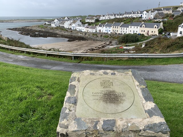
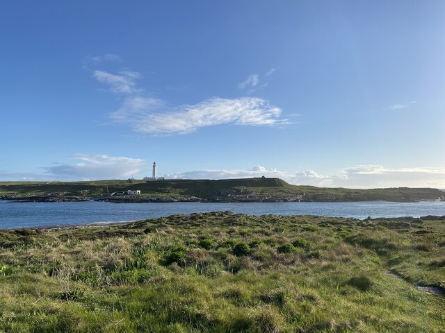
Cnoc Muinntir Eiginn, located in Argyllshire, Scotland, is a prominent hill/mountain that stands at an elevation of approximately 366 meters (1,200 feet). It is situated in a remote area, characterized by its stunning natural beauty and rugged terrain. The hill/mountain is part of the larger Scottish Highlands, known for its majestic landscapes and rich history.
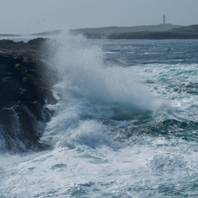
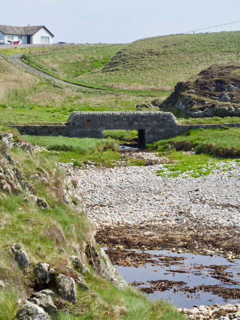
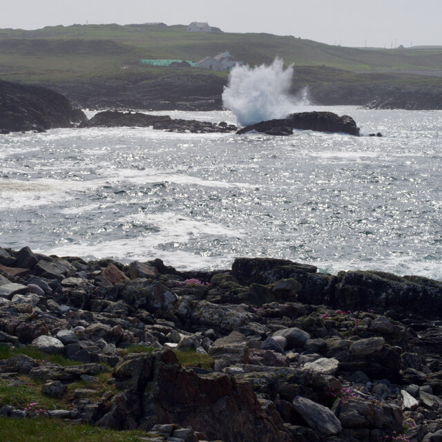
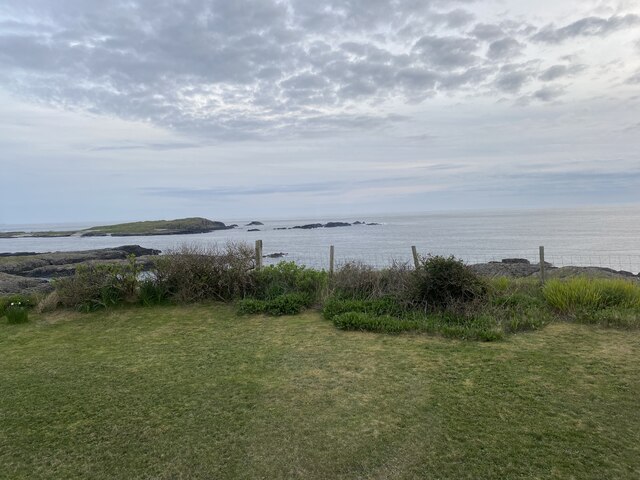
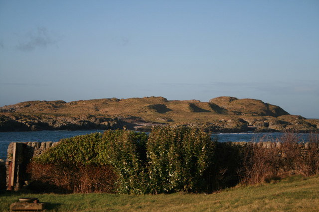
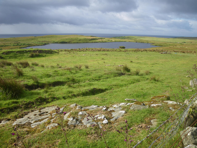
Cnoc Muinntir Eiginn is renowned for its panoramic views, offering visitors breathtaking vistas of the surrounding countryside. From the summit, one can admire the picturesque valleys, rolling hills, and sparkling lochs that dot the landscape. On clear days, it is even possible to catch glimpses of the nearby coastline and distant islands, adding to the allure of the location.
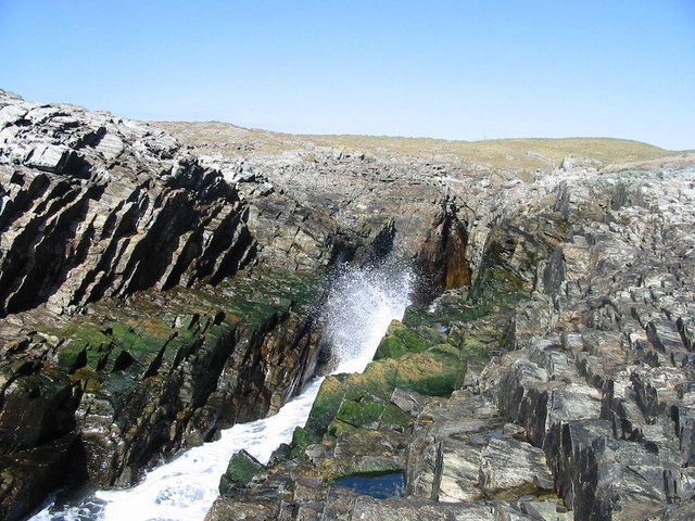
The ascent to Cnoc Muinntir Eiginn is challenging but rewarding, attracting both experienced hikers and nature enthusiasts. The hill/mountain is covered in heather, grasses, and scattered boulders, creating a diverse and visually appealing landscape. It is also home to a variety of flora and fauna, including wildflowers, birds, and small mammals.
Due to its remote location, Cnoc Muinntir Eiginn offers a sense of tranquility and seclusion, making it an ideal destination for those seeking solitude and an escape from the bustling city life. The hill/mountain provides an opportunity for outdoor activities such as hiking, birdwatching, and photography, allowing visitors to immerse themselves in the natural wonders of this captivating region.
If you have any feedback on the listing, please let us know in the comments section below.
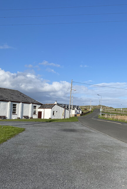
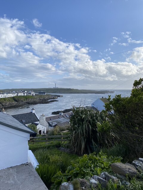
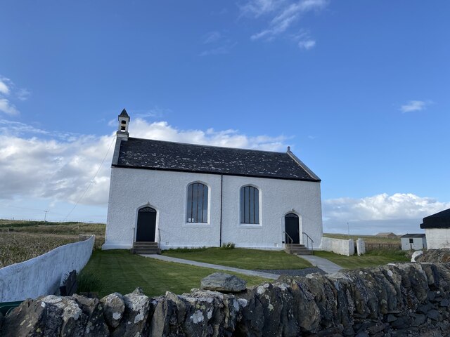
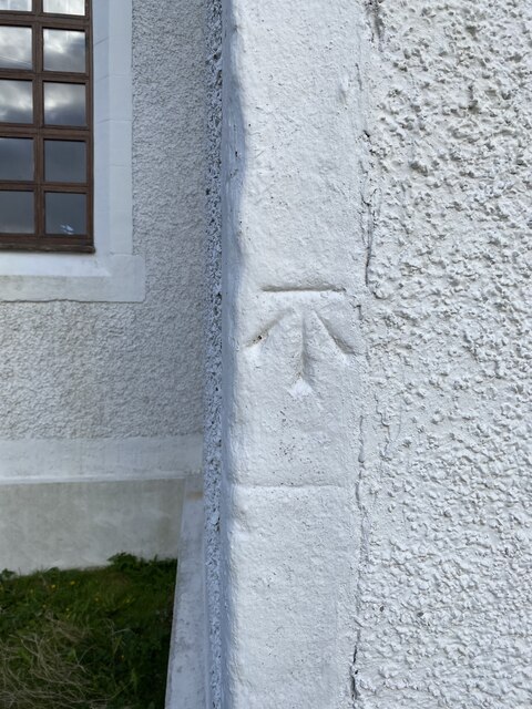
Cnoc Muinntir Eiginn Images
Images are sourced within 2km of 55.693589/-6.5152643 or Grid Reference NR1653. Thanks to Geograph Open Source API. All images are credited.
Cnoc Muinntir Eiginn is located at Grid Ref: NR1653 (Lat: 55.693589, Lng: -6.5152643)
Unitary Authority: Argyll and Bute
Police Authority: Argyll and West Dunbartonshire
What 3 Words
///isolating.infants.apparatus. Near Portnahaven, Argyll & Bute
Related Wikis
Islay LIMPET
Islay LIMPET was the world's first commercial wave power device and was connected to the United Kingdom's National Grid. == History == Islay LIMPET (Land...
Eilean Mhic Coinnich
Eilean Mhic Coinnich, also known as Mackenzie Island (although recorded on the Land Register as McKenseys Island), is an uninhabited island of 17.3 hectares...
Portnahaven
Portnahaven (Scottish Gaelic: Port na h-Abhainne, meaning river port) is a village on Islay in the Inner Hebrides, Scotland. The village is within the...
Orsay, Inner Hebrides
Orsay (Scottish Gaelic: Orasaigh) is a small island in the Inner Hebrides of Scotland. It lies a short distance off the west coast of the island of Islay...
Rhinns complex
The Rhinns complex is a deformed Palaeoproterozoic igneous complex that is considered to form the basement to the Colonsay Group of metasedimentary rocks...
Easter Ellister
Easter Ellister (Aolastradh) is a settlement on the Rinns of Islay on Islay in the Inner Hebrides of Scotland. It lies just off the A847 road between Portnahaven...
Nerabus
Nerabus (otherwise Nereabolls) is a hamlet in the west of the isle of Islay in Scotland. The vicinity is noted for its scenic qualities and diverse birdlife...
Rinns of Islay
The Rinns of Islay (Scottish Gaelic: Na Roinn Ìleach; alternative English spelling Rhinns of Islay) is an area on the west of the island of Islay in the...
Nearby Amenities
Located within 500m of 55.693589,-6.5152643Have you been to Cnoc Muinntir Eiginn?
Leave your review of Cnoc Muinntir Eiginn below (or comments, questions and feedback).
