Cnoc Mòr

Hill, Mountain in Inverness-shire

Scotland

Cnoc Mòr

Drinishader A bay on the west side of islet-studded Loch Tairbeart, the largest of the sea-lochs on the east side of Harris.
Drinishader Credit: Anne Burgess

Cnoc Mòr, located in Inverness-shire, Scotland, is a prominent hill/mountain that stands at an elevation of 313 meters (1,027 feet) above sea level. It is situated just northeast of the village of Ardersier and overlooks the Moray Firth. The name "Cnoc Mòr" translates to "big hill" in Gaelic, which accurately describes its imposing presence in the area.

This hill/mountain is a popular outdoor destination for locals and visitors alike due to its accessibility and stunning panoramic views. It offers a relatively easy ascent, with a well-defined path leading to the summit. The climb takes approximately 1-2 hours, depending on one's fitness level, and offers a rewarding experience for hikers.

Cnoc Mòr is known for its diverse flora and fauna, with heather-covered slopes and a variety of plant species such as blaeberry and bilberry. Wildlife enthusiasts may spot a range of animals, including red deer, mountain hares, and various bird species, including buzzards and peregrine falcons.

From the summit of Cnoc Mòr, visitors are treated to breathtaking vistas of the surrounding countryside, including the Moray Firth and the Black Isle. On clear days, it is possible to see as far as the mountains of Wester Ross and the Cairngorms National Park.

Overall, Cnoc Mòr offers a rewarding outdoor experience for those seeking a moderate hike and stunning views of the Highland landscape. Whether it's for a leisurely walk or a more challenging climb, this hill/mountain caters to a range of abilities and provides a memorable experience for all who venture to its summit.

If you have any feedback on the listing, please let us know in the comments section below.
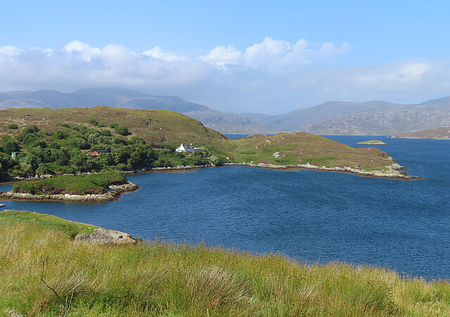
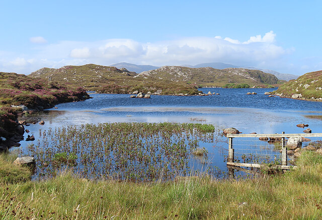
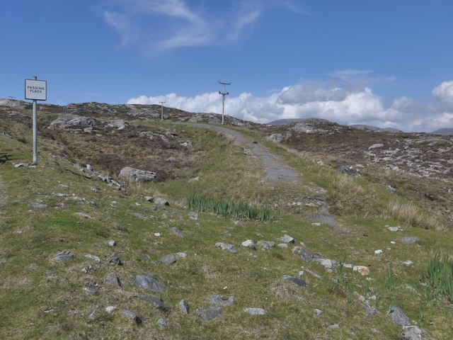
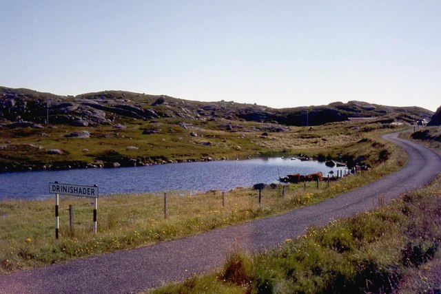
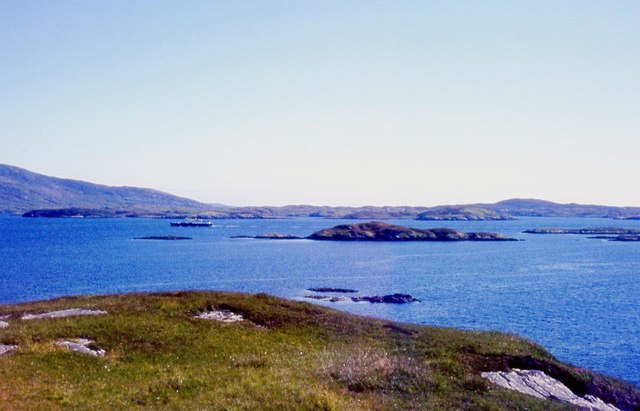
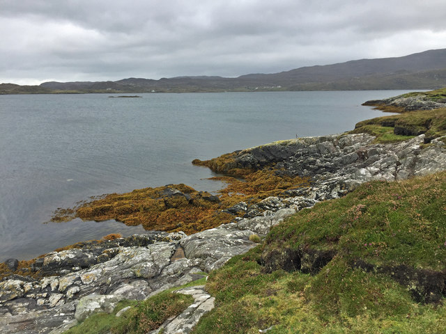
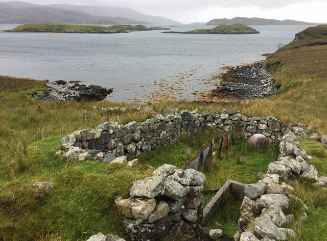
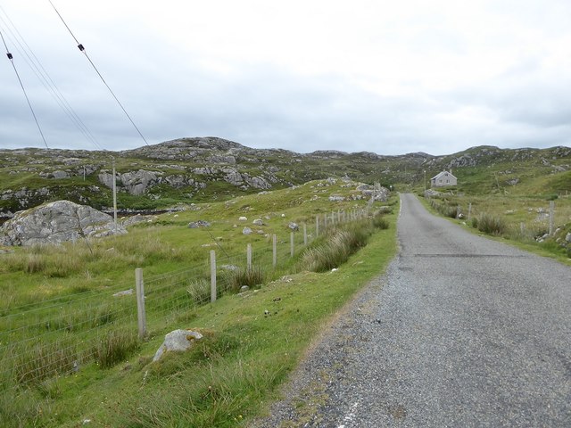
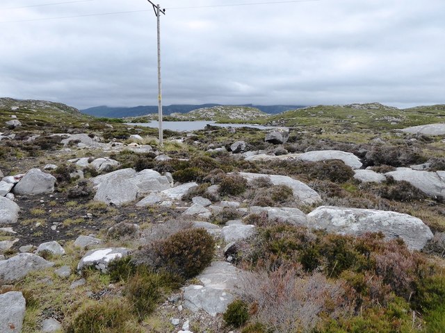
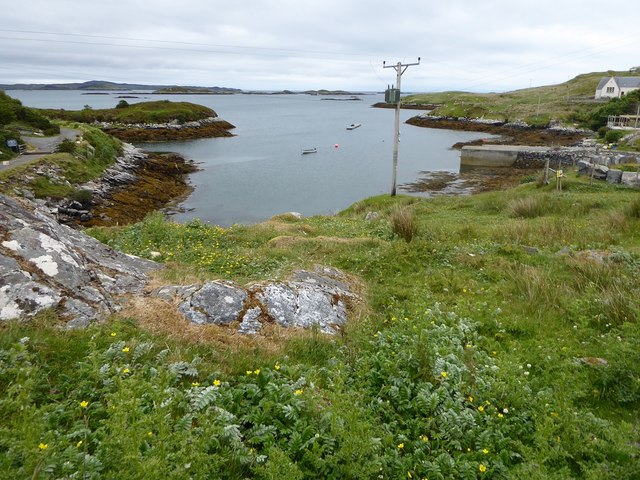
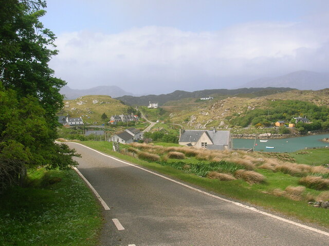
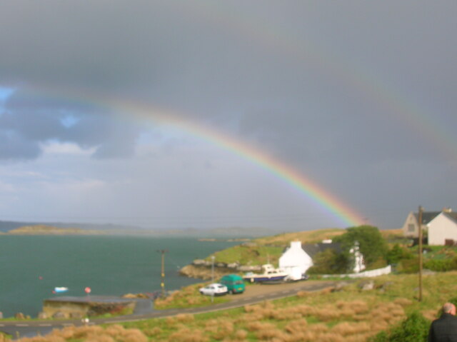
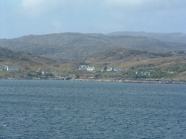
Cnoc Mòr Images

Images are sourced within 2km of 57.864406/-6.784263 or Grid Reference NG1696. Thanks to Geograph Open Source API. All images are credited.

Drinishader A bay on the west side of islet-studded Loch Tairbeart, the largest of the sea-lochs on the east side of Harris.
Drinishader
A bay on the west side of islet-studded Loch Tairbeart, the largest of the sea-lochs on the east side of Harris.
Loch Drinisiadair This is just the southern tip of one of the larger lochs in eastern Harris.
Loch Drinisiadair
This is just the southern tip of one of the larger lochs in eastern Harris.
In the driving seat of the Hattersley Mk1 at Drinisiadar Built in Keighley, West Yorkshire and one time Luddite bait the loom was designed by George Hattersley and from 1919 to the present has proved a godsend to the people of Harris.
In the driving seat of the Hattersley Mk1 at Drinisiadar
Built in Keighley, West Yorkshire and one time Luddite bait the loom was designed by George Hattersley and from 1919 to the present has proved a godsend to the people of Harris.
All trades their gear, tackle, and trim.. The loom and some of the products at the exhibition at Drinisiadar.
All trades their gear, tackle, and trim..
The loom and some of the products at the exhibition at Drinisiadar.
Original Harris Tweed Introduced to Harris in 1919 the Hattersley cottage loom which was manufactured by George Hattersley of Keighley, West Yorkshire and proved a godsend for the people of Harris.
Original Harris Tweed
Introduced to Harris in 1919 the Hattersley cottage loom which was manufactured by George Hattersley of Keighley, West Yorkshire and proved a godsend for the people of Harris.
Nostalgia's not what it used to be! If ever a poem ran in parallel with Yeats' Lake Isle of Innisfree then this is the one.
Nostalgia's not what it used to be!
If ever a poem ran in parallel with Yeats' Lake Isle of Innisfree then this is the one.
The Spinning Wheels of Harris Before you weave, first spin the wool.
The Spinning Wheels of Harris
Before you weave, first spin the wool.
The old road to Tarbert, Harris The remains of the old road just show here, at a passing place on the newer road, which is still pretty narrow and tortuous - known as "The Golden Road".
The old road to Tarbert, Harris
The remains of the old road just show here, at a passing place on the newer road, which is still pretty narrow and tortuous - known as "The Golden Road".
South end of Loch Drinisiadair
Rubha na Mòine The ferry heading in to Tarbert past the Gloraigs.
Rubha na Mòine
The ferry heading in to Tarbert past the Gloraigs.
Aird Dhirecleit The point that lies between Ob Liceasto and Bàgh Diracleit, two inlets of Loch Ceann Dibig.
Aird Dhirecleit
The point that lies between Ob Liceasto and Bàgh Diracleit, two inlets of Loch Ceann Dibig.
Ruins south of Direcleit The nearer one has been used as a sheep fank in recent times.
Ruins south of Direcleit
The nearer one has been used as a sheep fank in recent times.
Minor road among rock outcrops east of Meavag
Rocks and heather next to the 'Golden Road' looking towards Loch Drinisiadair
The harbour at Drinisiadair
Drinishader on The Golden Road Wonderful cycling southwards from Tarbert.
Drinishader on The Golden Road
Wonderful cycling southwards from Tarbert.
Rainbow over East Loch Tarbert A lovely end to the day at Drinishader.
Rainbow over East Loch Tarbert
A lovely end to the day at Drinishader.
Drinisiadar, Harris A lovely quiet corner of Harris, the white house in the centre, is a bunkhouse/hostel. Get there before the prom gets built along the seafront and the picnic chairs get cemented in. Picture taken from the Uig ferry.
Drinisiadar, Harris
A lovely quiet corner of Harris, the white house in the centre, is a bunkhouse/hostel. Get there before the prom gets built along the seafront and the picnic chairs get cemented in. Picture taken from the Uig ferry.
Show me another place!

Cnoc Mòr is located at Grid Ref: NG1696 (Lat: 57.864406, Lng: -6.784263)

Unitary Authority: Na h-Eileanan an Iar

Police Authority: Highlands and Islands

What 3 Words

///prefect.salary.gearbox. Near Tarbert, Na h-Eileanan Siar

Related Wikis

East Loch Tarbert

East Loch Tarbert (Scottish Gaelic: Loch an Tairbeairt) is a sea loch that lies to the east of Harris in the Outer Hebrides of Scotland. The loch contains...

Sgeotasaigh

Scotasay (Scottish Gaelic: Sgeotasaigh) is small island in the Outer Hebrides of Scotland. It lies 1 kilometre (0.6 miles) off the east coast of Harris...

Harris distillery

Harris distillery is a Scotch whisky and Gin distillery in Tarbert on the Isle of Harris, Scotland. The distillery was the first legal distillery ever...

Tarbert, Harris

Tarbert (Scottish Gaelic: An Tairbeart [ən̪ˠ ˈt̪ɛrʲɛbərˠʃt̪]) is the main community on Harris in the Western Isles of Scotland. The name means "isthmus...

Harris, Outer Hebrides

Harris (Scottish Gaelic: Na Hearadh, pronounced [nə ˈhɛɾəɣ] ) is the southern and more mountainous part of Lewis and Harris, the largest island in the...

Scalpay, Outer Hebrides

Scalpay (; Scottish Gaelic: Sgalpaigh or Sgalpaigh na Hearadh; i.e. "Scalpay of Harris" to distinguish it from Scalpay off Skye) is an island in the Outer...

Stockinish Island

Stockinish Island (Scottish Gaelic: Eilean Stocainis) is an uninhabited island off Harris, in the Outer Hebrides. == Geography and geology == Stockinish...

Ardhasaig

Ardhasaig (Scottish Gaelic: Àird Àsaig) is a settlement on the western coast of north Harris, in the Outer Hebrides, Scotland. Ardhasaig is also within...

Nearby Amenities

Located within 500m of 57.864406,-6.784263
Passing Place
Lat/Long: 57.8636493/-6.7894138
Barrier: cattle_grid
Source: survey
Lat/Long: 57.8614476/-6.7877846
Post Box
Ref: HS3 114
Source: survey
Lat/Long: 57.8644294/-6.7914173
Passing Place
Lat/Long: 57.8644125/-6.7915103
Passing Place
Lat/Long: 57.8621935/-6.7881323
Passing Place
Lat/Long: 57.8633048/-6.7889065
Passing Place
Lat/Long: 57.8617559/-6.7880794
Passing Place
Lat/Long: 57.8608182/-6.7869508
Material: wood
Power: pole
Lat/Long: 57.864984/-6.7922844
Material: wood
Power: pole
Lat/Long: 57.864434/-6.7911524
Material: wood
Power: pole
Lat/Long: 57.8640859/-6.7899669
Material: wood
Power: pole
Lat/Long: 57.8631086/-6.787958
Material: wood
Power: pole
Lat/Long: 57.8636058/-6.7891837
Cnoc Mor
Natural: peak
Lat/Long: 57.8644576/-6.7839949
Ard Mhiabhaig
Place: locality
Lat/Long: 57.8671959/-6.7866926
Material: wood
Power: pole
Lat/Long: 57.8665452/-6.7907085
Material: wood
Power: pole
Lat/Long: 57.8659795/-6.790272
Material: wood
Power: pole
Lat/Long: 57.8652708/-6.7898275
Material: wood
Power: pole
Lat/Long: 57.8648093/-6.7897361
Passing Place
Lat/Long: 57.8639598/-6.7900704
Material: wood
Power: pole
Lat/Long: 57.8601606/-6.7857385
Material: wood
Power: pole
Lat/Long: 57.8608712/-6.7862561
Material: wood
Power: pole
Lat/Long: 57.8622995/-6.787329
Material: wood
Power: pole
Lat/Long: 57.8615104/-6.7867336
The data included in this document is from www.openstreetmap.org. The data is made available under ODbL.

Have you been to Cnoc Mòr?

Leave your review of Cnoc Mòr below (or comments, questions and feedback).