Arderanish

Coastal Feature, Headland, Point in Inverness-shire

Scotland

Arderanish

Loch Drinisiadair This is just the southern tip of one of the larger lochs in eastern Harris.
Loch Drinisiadair Credit: Anne Burgess

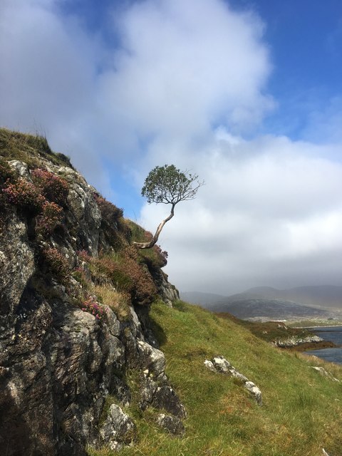
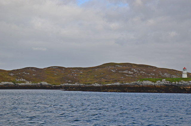
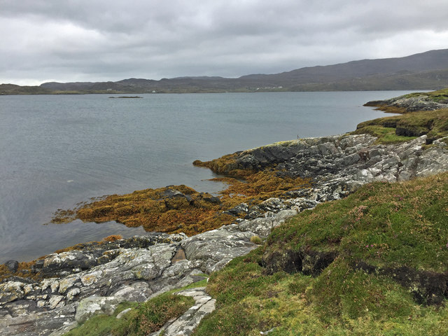
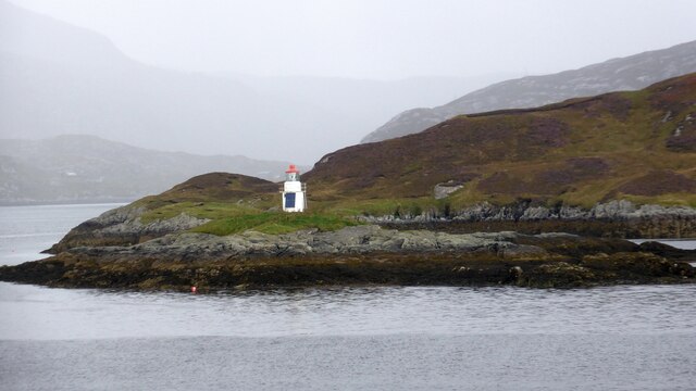
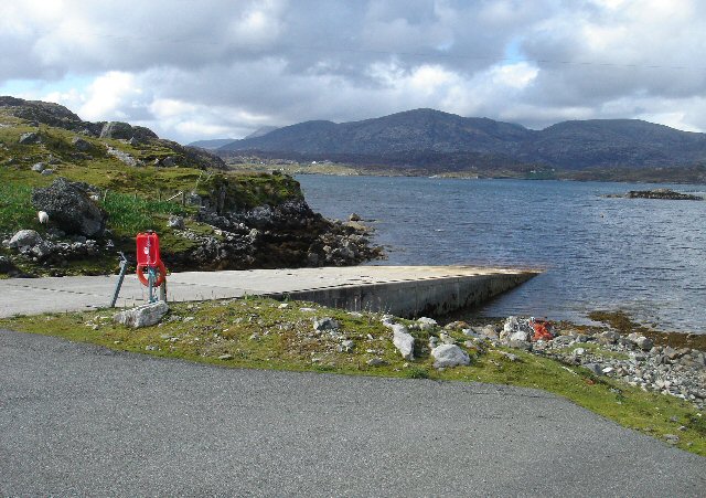
Arderanish is a captivating coastal feature located in Inverness-shire, Scotland. Situated on the western coast of the Ardnamurchan Peninsula, this headland juts out into the Atlantic Ocean, offering breathtaking views and a rich natural environment.

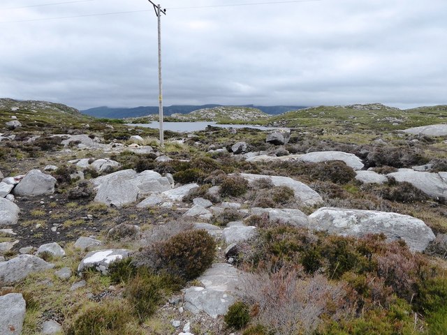
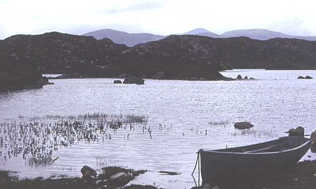
The point forms a prominent headland, with its rocky cliffs rising dramatically from the sea. It is a popular destination for nature enthusiasts, hikers, and photographers who are keen to explore its rugged beauty. The headland is characterized by its steep slopes, which are covered in lush vegetation, including heather, ferns, and wildflowers.

Arderanish is home to a diverse range of wildlife, making it a haven for birdwatchers and nature lovers. Visitors may spot seabirds such as puffins, gannets, and fulmars, as well as occasional sightings of seals and dolphins in the surrounding waters. The area's ecological importance has led to it being designated as a Site of Special Scientific Interest, ensuring its protection and preservation.

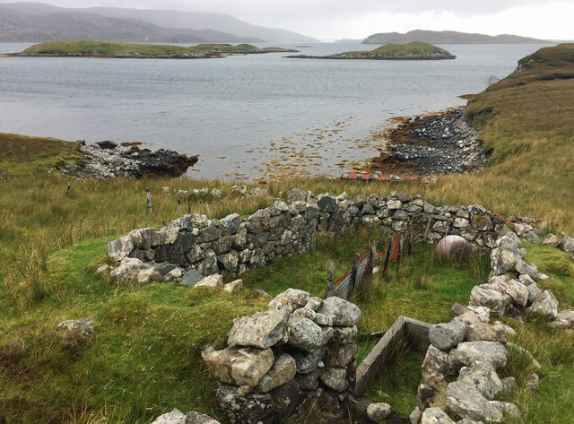
In addition to its natural allure, Arderanish also holds historical significance. The headland boasts the remnants of an ancient fort, thought to date back to the Iron Age. This archaeological site provides a glimpse into the past, offering insight into the lives of early inhabitants of the area.

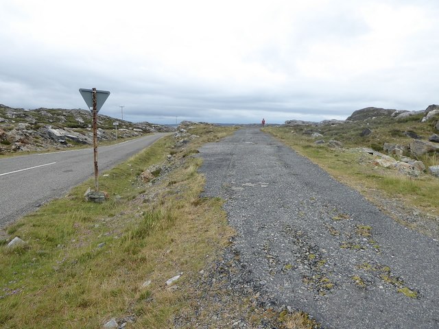
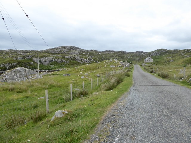
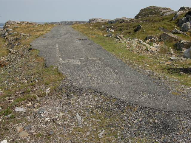
Access to Arderanish is relatively easy, with a well-maintained footpath leading to the headland. Visitors can enjoy a leisurely stroll along the coast, taking in the stunning vistas and immersing themselves in the tranquil surroundings. Whether it's admiring the rugged cliffs, observing wildlife, or exploring historical remains, Arderanish is a must-visit destination for those seeking a true Scottish coastal experience.

If you have any feedback on the listing, please let us know in the comments section below.
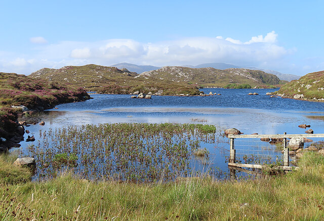
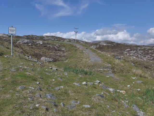
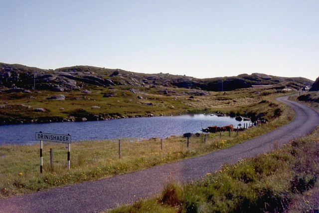
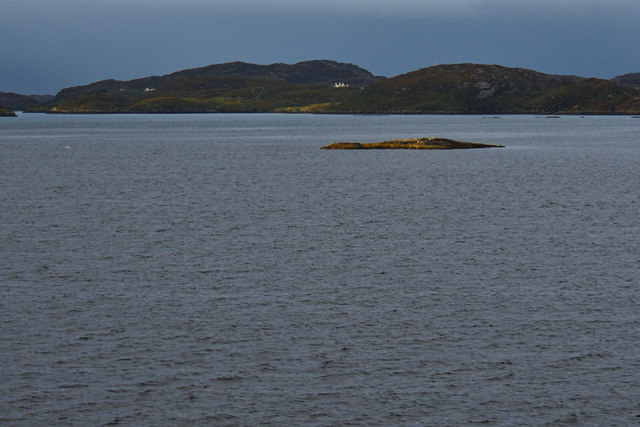
Arderanish Images

Images are sourced within 2km of 57.870582/-6.7843923 or Grid Reference NG1696. Thanks to Geograph Open Source API. All images are credited.

Loch Drinisiadair This is just the southern tip of one of the larger lochs in eastern Harris.
Loch Drinisiadair
This is just the southern tip of one of the larger lochs in eastern Harris.
The old road to Tarbert, Harris The remains of the old road just show here, at a passing place on the newer road, which is still pretty narrow and tortuous - known as "The Golden Road".
The old road to Tarbert, Harris
The remains of the old road just show here, at a passing place on the newer road, which is still pretty narrow and tortuous - known as "The Golden Road".
Cuidsgeir
Cuidsgeir
South end of Loch Drinisiadair
Cuidsgeir
Cuidsgeir
View back to Tarbert from Direcleit Lone tree struggling to grow in this breezy shore side location
View back to Tarbert from Direcleit
Lone tree struggling to grow in this breezy shore side location
Sgeotasaigh Sgeotasaigh, or Scotsay, is an island west of Scalpay in East Loch Tarbert. The light on the right of the image is on Sgeir Ghlas in NG1896.
Sgeotasaigh
Sgeotasaigh, or Scotsay, is an island west of Scalpay in East Loch Tarbert. The light on the right of the image is on Sgeir Ghlas in NG1896.
Aird Dhirecleit The point that lies between Ob Liceasto and Bàgh Diracleit, two inlets of Loch Ceann Dibig.
Aird Dhirecleit
The point that lies between Ob Liceasto and Bàgh Diracleit, two inlets of Loch Ceann Dibig.
Ruins south of Direcleit The nearer one has been used as a sheep fank in recent times.
Ruins south of Direcleit
The nearer one has been used as a sheep fank in recent times.
Disused road section next to start of the 'Golden Road'
Minor road among rock outcrops east of Meavag
Rocks and heather next to the 'Golden Road' looking towards Loch Drinisiadair
Sgeir Ghlas lighthouse A small lighthouse built around 1900. <span class="nowrap"><a title="https://uklighthousetour.com/tag/sgeir-ghlas/" rel="nofollow ugc noopener" href="https://uklighthousetour.com/tag/sgeir-ghlas/">Link</a><img style="margin-left:2px;" alt="External link" title="External link - shift click to open in new window" src="https://s1.geograph.org.uk/img/external.png" width="10" height="10"/></span>
Sgeir Ghlas lighthouse
A small lighthouse built around 1900. LinkExternal link
Slipway at Miavaig This local authority-owned slipway leads into Loch Ceann Dibig and is mainly used by leisure craft.
Slipway at Miavaig
This local authority-owned slipway leads into Loch Ceann Dibig and is mainly used by leisure craft.
Loch Dhrinisiadair Looking over the loch, with the hills of North Harris just visible beyond.
Loch Dhrinisiadair
Looking over the loch, with the hills of North Harris just visible beyond.
The end of the Miabhag road The old road to Miabhag ends here. Although the current road and the line of this old road both are shown on the 25k map, neither appears on the 1940s OS. This must have been a relatively short-lived road.
The end of the Miabhag road
The old road to Miabhag ends here. Although the current road and the line of this old road both are shown on the 25k map, neither appears on the 1940s OS. This must have been a relatively short-lived road.
Sheepfold by Loch a' Mhonaidh The size of the building here shows that it is a community resource, used co-operatively by the crofters in the area.
Sheepfold by Loch a' Mhonaidh
The size of the building here shows that it is a community resource, used co-operatively by the crofters in the area.
Disused Vehicles Decaying vehicles by the side of the Golden Road on an inlet of Ob Mhiabhaig
Disused Vehicles
Decaying vehicles by the side of the Golden Road on an inlet of Ob Mhiabhaig
Show me another place!

Arderanish is located at Grid Ref: NG1696 (Lat: 57.870582, Lng: -6.7843923)

Unitary Authority: Na h-Eileanan an Iar

Police Authority: Highlands and Islands

What 3 Words

///forensic.geek.diet. Near Tarbert, Na h-Eileanan Siar

Related Wikis

East Loch Tarbert

East Loch Tarbert (Scottish Gaelic: Loch an Tairbeairt) is a sea loch that lies to the east of Harris in the Outer Hebrides of Scotland. The loch contains...

Sgeotasaigh

Scotasay (Scottish Gaelic: Sgeotasaigh) is small island in the Outer Hebrides of Scotland. It lies 1 kilometre (0.6 miles) off the east coast of Harris...

Harris distillery

Harris distillery is a Scotch whisky and Gin distillery in Tarbert on the Isle of Harris, Scotland. The distillery was the first legal distillery ever...

Tarbert, Harris

Tarbert (Scottish Gaelic: An Tairbeart [ən̪ˠ ˈt̪ɛrʲɛbərˠʃt̪]) is the main community on Harris in the Western Isles of Scotland. The name means "isthmus...

Nearby Amenities

Located within 500m of 57.870582,-6.7843923
Ard Mhiabhaig
Place: locality
Lat/Long: 57.8671959/-6.7866926
Arderanish
Natural: cape
Lat/Long: 57.8704064/-6.7848721
The data included in this document is from www.openstreetmap.org. The data is made available under ODbL.

Have you been to Arderanish?

Leave your review of Arderanish below (or comments, questions and feedback).