Àird Mhiabhaig
Coastal Feature, Headland, Point in Inverness-shire
Scotland
Àird Mhiabhaig
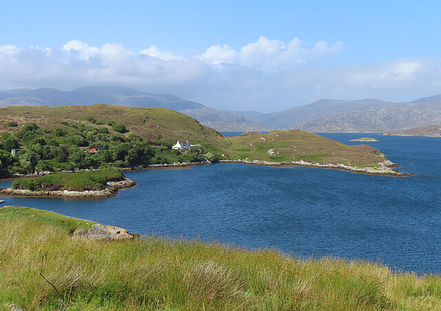
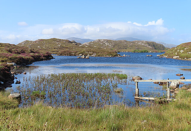
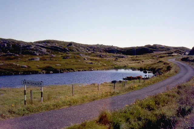
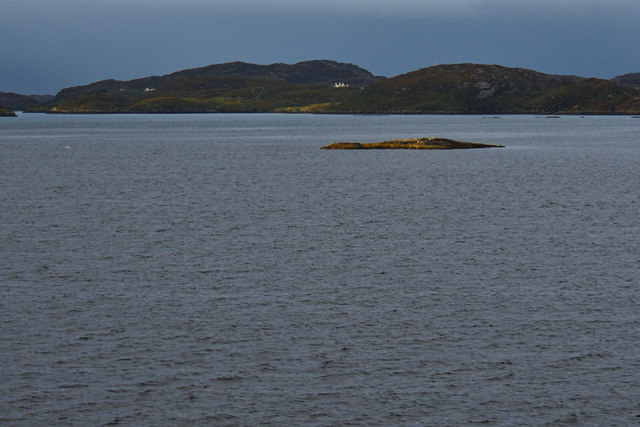
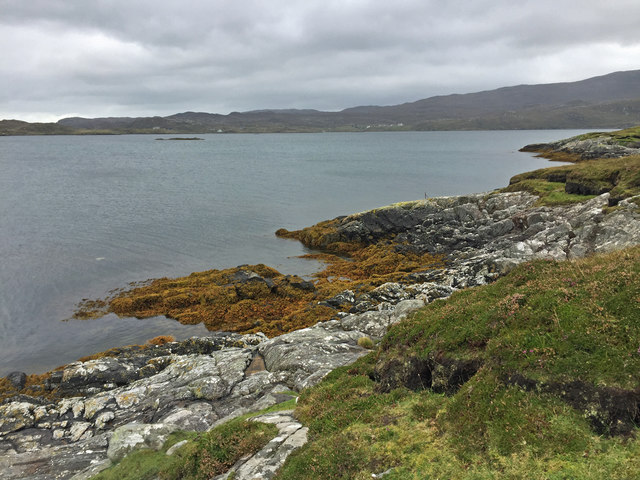
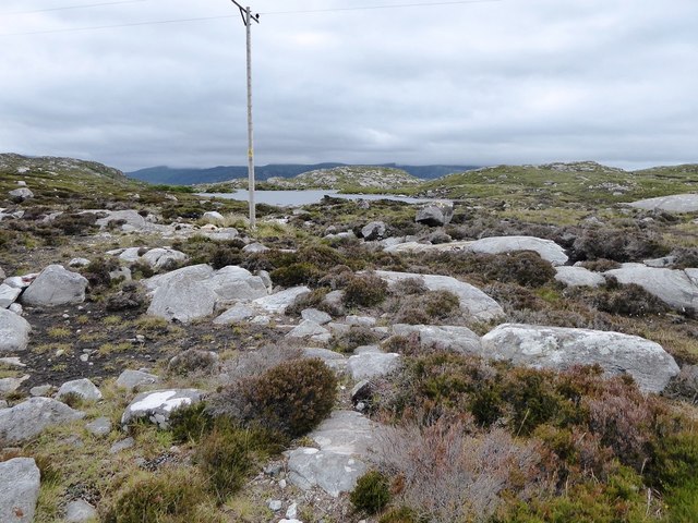
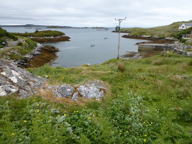
Àird Mhiabhaig is a remarkable coastal feature located in Inverness-shire, Scotland. This prominent headland, also known as Miavag Point, juts out into the Atlantic Ocean, providing stunning views of the surrounding landscape. Situated on the western coast of Scotland, it is part of the rugged and picturesque terrain that characterizes this region.
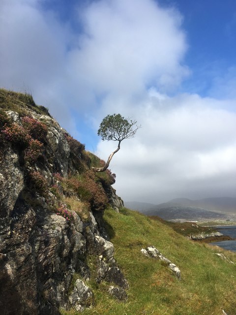
The headland is formed by a series of rocky cliffs that plunge dramatically into the sea, creating a breathtaking natural spectacle. The cliffs are composed of ancient sedimentary rocks, displaying striking layers and patterns that reveal the geological history of the area. The strong winds and crashing waves have shaped the cliffs over time, resulting in unique formations and sea caves that attract visitors and wildlife enthusiasts alike.
The proximity to the ocean makes Àird Mhiabhaig an ideal spot for observing marine life. Seabirds such as puffins, kittiwakes, and fulmars can be spotted nesting on the cliffs, while seals and dolphins can often be seen swimming in the nearby waters. The headland also provides an excellent vantage point for whale watching during certain times of the year.
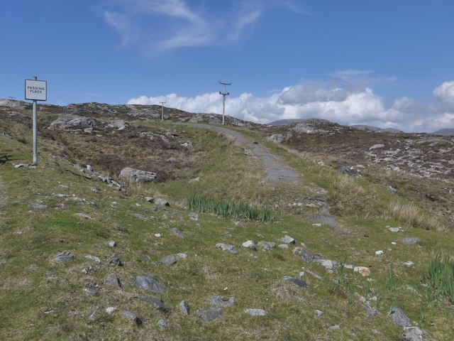
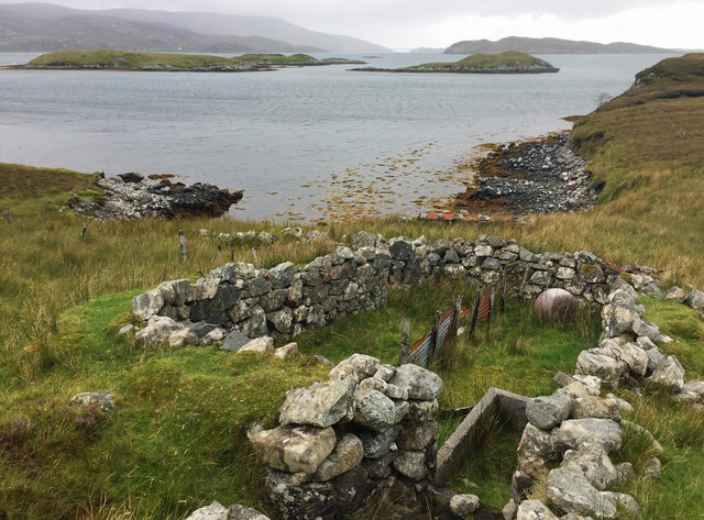
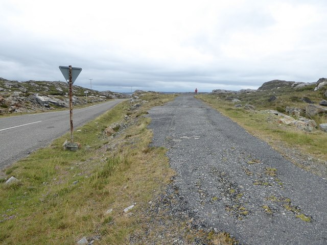
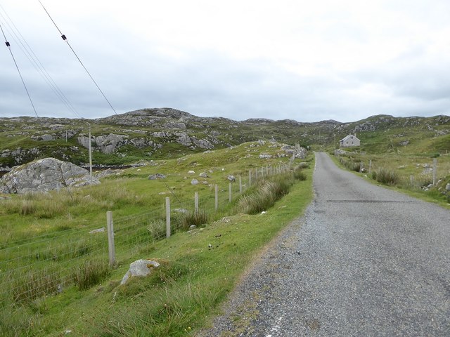
Access to Àird Mhiabhaig is relatively easy, with a well-maintained footpath leading to the headland. The path winds its way through heather-covered moorland, offering visitors a chance to appreciate the diverse flora and fauna of the area. The headland itself provides ample space for exploration, with numerous viewpoints and picnic spots to enjoy the stunning coastal scenery.
Overall, Àird Mhiabhaig is a captivating coastal feature that showcases the natural beauty and rich biodiversity of Inverness-shire. Its striking cliffs, wildlife sightings, and panoramic views make it a must-visit destination for nature lovers and outdoor enthusiasts.
If you have any feedback on the listing, please let us know in the comments section below.
Àird Mhiabhaig Images
Images are sourced within 2km of 57.867405/-6.7846618 or Grid Reference NG1696. Thanks to Geograph Open Source API. All images are credited.


Àird Mhiabhaig is located at Grid Ref: NG1696 (Lat: 57.867405, Lng: -6.7846618)
Unitary Authority: Na h-Eileanan an Iar
Police Authority: Highlands and Islands
What 3 Words
///composts.scans.egging. Near Tarbert, Na h-Eileanan Siar
Nearby Locations
Related Wikis

East Loch Tarbert
East Loch Tarbert (Scottish Gaelic: Loch an Tairbeairt) is a sea loch that lies to the east of Harris in the Outer Hebrides of Scotland. The loch contains...

Sgeotasaigh
Scotasay (Scottish Gaelic: Sgeotasaigh) is small island in the Outer Hebrides of Scotland. It lies 1 kilometre (0.6 miles) off the east coast of Harris...

Harris distillery
Harris distillery is a Scotch whisky and Gin distillery in Tarbert on the Isle of Harris, Scotland. The distillery was the first legal distillery ever...

Tarbert, Harris
Tarbert (Scottish Gaelic: An Tairbeart [ən̪ˠ ˈt̪ɛrʲɛbərˠʃt̪]) is the main community on Harris in the Western Isles of Scotland. The name means "isthmus...

Harris, Outer Hebrides
Harris (Scottish Gaelic: Na Hearadh, pronounced [nə ˈhɛɾəɣ] ) is the southern and more mountainous part of Lewis and Harris, the largest island in the...

Scalpay, Outer Hebrides
Scalpay (; Scottish Gaelic: Sgalpaigh or Sgalpaigh na Hearadh; i.e. "Scalpay of Harris" to distinguish it from Scalpay off Skye) is an island in the Outer...

Stockinish Island
Stockinish Island (Scottish Gaelic: Eilean Stocainis) is an uninhabited island off Harris, in the Outer Hebrides. == Geography and geology == Stockinish...

Ardhasaig
Ardhasaig (Scottish Gaelic: Àird Àsaig) is a settlement on the western coast of north Harris, in the Outer Hebrides, Scotland. Ardhasaig is also within...
Nearby Amenities
Located within 500m of 57.867405,-6.7846618Have you been to Àird Mhiabhaig?
Leave your review of Àird Mhiabhaig below (or comments, questions and feedback).