Àird Dhirecleit

Coastal Feature, Headland, Point in Inverness-shire

Scotland

Àird Dhirecleit

Pier Road, Tarbert The Citizens Advice people may even be found in tiny villages in the Outer Hebrides.
Pier Road, Tarbert Credit: Richard Dorrell

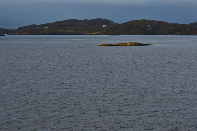
Àird Dhirecleit is a prominent coastal feature located in Inverness-shire, Scotland. It is a headland that juts out into the Atlantic Ocean, forming a distinct point along the rugged coastline. The name "Àird Dhirecleit" is derived from Gaelic, with "Àird" meaning "point" and "Dhirecleit" referring to the nearby settlement.

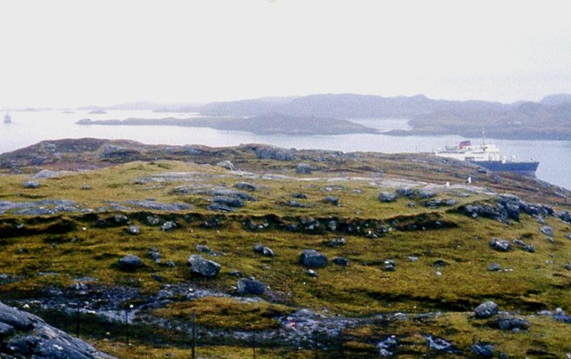
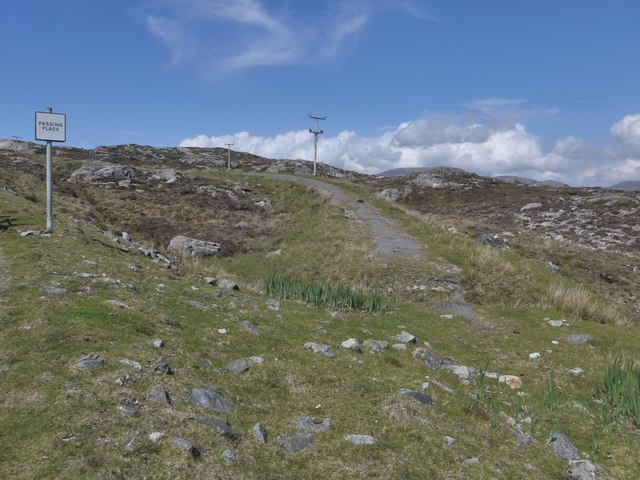
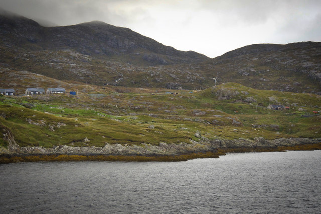
This headland is characterized by its dramatic cliffs and rocky terrain, offering breathtaking views of the surrounding sea and landscape. The cliffs are composed of sedimentary rock formations that have been shaped by erosion over millions of years. Atop the headland, there is a grassy plateau, providing a picturesque setting for visitors to enjoy.

Àird Dhirecleit is not only renowned for its natural beauty but also for its historical significance. It is believed to have been inhabited as early as the Iron Age, with evidence of ancient settlements and structures discovered in the vicinity. The headland served as a strategic lookout point, offering a vantage point for observing any potential threats or incoming ships.

Today, Àird Dhirecleit attracts both locals and tourists who come to explore its rugged beauty and learn about its rich history. Visitors can take leisurely walks along the coastal path, marveling at the stunning panoramic views. The headland also provides opportunities for birdwatching, with various seabirds such as gannets and fulmars nesting on the cliffs.

Overall, Àird Dhirecleit is a captivating coastal feature that showcases the natural splendor and cultural heritage of Inverness-shire. Its striking cliffs, historical significance, and picturesque views make it a must-visit destination for nature enthusiasts and history buffs alike.

If you have any feedback on the listing, please let us know in the comments section below.

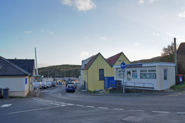
Àird Dhirecleit Images

Images are sourced within 2km of 57.880827/-6.7882212 or Grid Reference NG1697. Thanks to Geograph Open Source API. All images are credited.

Pier Road, Tarbert The Citizens Advice people may even be found in tiny villages in the Outer Hebrides.
Pier Road, Tarbert
The Citizens Advice people may even be found in tiny villages in the Outer Hebrides.
Tarbert in 1981
Tarbert in 1981
Tarbert Ferry Terminal View from an approaching ferry, MV Hebrides. The linkspan is on the left. Upgrade works are in progress, associated with the planned introduction of a new ferry on the Uig - Lochmaddy (Uist) - Tarbert (Harris) routes.
Tarbert Ferry Terminal
View from an approaching ferry, MV Hebrides. The linkspan is on the left. Upgrade works are in progress, associated with the planned introduction of a new ferry on the Uig - Lochmaddy (Uist) - Tarbert (Harris) routes.
Ferry leaving Tarbert On board MV Hebrides, looking astern. The vehicles have loaded through the bows, and the ferry is reversing away from the berth. Note the campervans.
Ferry leaving Tarbert
On board MV Hebrides, looking astern. The vehicles have loaded through the bows, and the ferry is reversing away from the berth. Note the campervans.
The 'Hebridean Isles' docked at Tarbert, Harris, 1989
Very direct signage
Very direct signage
Tarbert There's a convenient lay-by and viewpoint from which to admire the view of the marina and the ferry terminal, where I was fortunate enough to see the MV 'Hebrides' just in from Uig in Skye.
Tarbert
There's a convenient lay-by and viewpoint from which to admire the view of the marina and the ferry terminal, where I was fortunate enough to see the MV 'Hebrides' just in from Uig in Skye.
The ferry from Uig slips past Rubha Dubh The final approach to Tarbert.
The ferry from Uig slips past Rubha Dubh
The final approach to Tarbert.
The old road to Tarbert, Harris The remains of the old road just show here, at a passing place on the newer road, which is still pretty narrow and tortuous - known as "The Golden Road".
The old road to Tarbert, Harris
The remains of the old road just show here, at a passing place on the newer road, which is still pretty narrow and tortuous - known as "The Golden Road".
Tarbert Stores Looking very much like an Arctic or Scandinavian outpost with its 'tin' roof and brightly coloured boarding - a great improvement from its 2009 image on Street View.
Tarbert Stores
Looking very much like an Arctic or Scandinavian outpost with its 'tin' roof and brightly coloured boarding - a great improvement from its 2009 image on Street View.
Tarbert street scene
Cuidsgeir
Cuidsgeir
Tarbert pier, Harris
Tarbert pier The ferry to Uig in Skye is in port.
Tarbert pier
The ferry to Uig in Skye is in port.
Tarbert pier, Harris
Craobhag
Craobhag
Rubha Dubh
Rubha Dubh
Cuidsgeir
Cuidsgeir
Show me another place!

Àird Dhirecleit is located at Grid Ref: NG1697 (Lat: 57.880827, Lng: -6.7882212)

Unitary Authority: Na h-Eileanan an Iar

Police Authority: Highlands and Islands

What 3 Words

///trades.nametag.jazzy. Near Tarbert, Na h-Eileanan Siar

Nearby Locations

Àird Dhirecleit

Related Wikis

Harris distillery

Harris distillery is a Scotch whisky and Gin distillery in Tarbert on the Isle of Harris, Scotland. The distillery was the first legal distillery ever...

Sgeotasaigh

Scotasay (Scottish Gaelic: Sgeotasaigh) is small island in the Outer Hebrides of Scotland. It lies 1 kilometre (0.6 miles) off the east coast of Harris...

Tarbert, Harris

Tarbert (Scottish Gaelic: An Tairbeart [ən̪ˠ ˈt̪ɛrʲɛbərˠʃt̪]) is the main community on Harris in the Western Isles of Scotland. The name means "isthmus...

East Loch Tarbert

East Loch Tarbert (Scottish Gaelic: Loch an Tairbeairt) is a sea loch that lies to the east of Harris in the Outer Hebrides of Scotland. The loch contains...

Nearby Amenities

Located within 500m of 57.880827,-6.7882212
Tidal Pond
Place: locality
Lat/Long: 57.8794763/-6.7932741
Power: pole
Lat/Long: 57.8842247/-6.7903269
Power: pole
Lat/Long: 57.8848734/-6.7912578
Aird Direcleit
Place: locality
Lat/Long: 57.8797002/-6.7900434
Power: pole
Lat/Long: 57.8846082/-6.7908785
The data included in this document is from www.openstreetmap.org. The data is made available under ODbL.

Have you been to Àird Dhirecleit?

Leave your review of Àird Dhirecleit below (or comments, questions and feedback).