Mol Bàn
Beach in Inverness-shire
Scotland
Mol Bàn
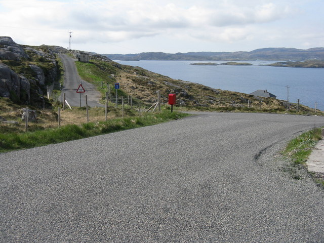
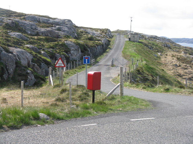
Mol Bàn is a stunning beach located in Inverness-shire, a county in the Scottish Highlands. Situated on the western coast of Scotland, this beautiful stretch of coastline offers breathtaking views and a tranquil atmosphere.
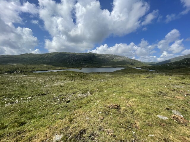
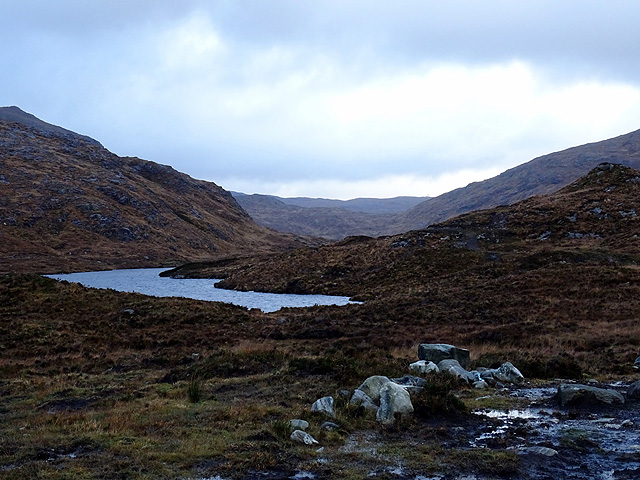
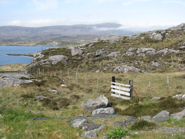
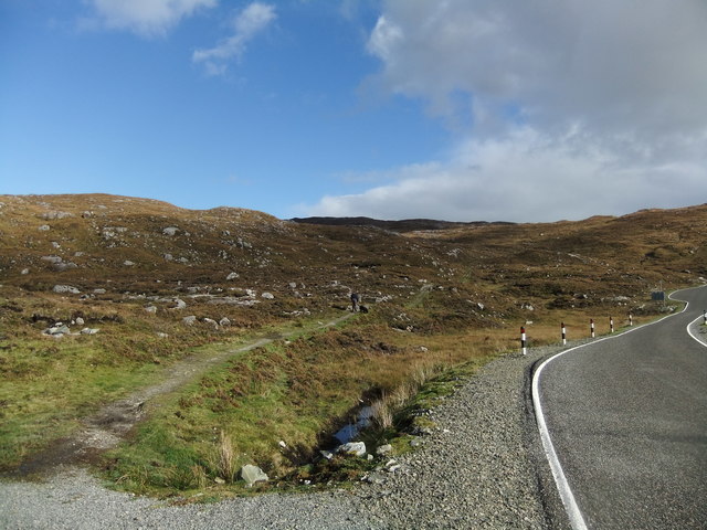
With its pristine golden sands and crystal-clear turquoise waters, Mol Bàn is a true paradise for beach lovers and nature enthusiasts alike. The beach is surrounded by rolling green hills and rugged cliffs, adding to its picturesque charm. It offers a peaceful and secluded escape from the hustle and bustle of city life.
Mol Bàn is known for its unspoiled beauty and natural landscapes. It is a haven for wildlife, with a variety of bird species making their home in the nearby dunes and grasslands. Visitors may spot oystercatchers, gulls, and even the occasional seal or dolphin swimming offshore.
The beach is perfect for a leisurely stroll, sunbathing, or picnicking. Its calm waters also make it an ideal spot for swimming and other water activities. During low tide, visitors can explore the rock pools that teem with marine life, offering a fascinating opportunity to discover creatures like crabs, starfish, and small fish.
Access to Mol Bàn is relatively easy, with a car park located nearby, providing convenient parking for visitors. The beach is also accessible via a short walk from the town of Arisaig, where visitors can find amenities such as shops, cafes, and accommodation options.
Overall, Mol Bàn is a hidden gem on the Scottish coastline, offering a serene and idyllic setting for those seeking a peaceful beach retreat amidst the rugged beauty of the Highlands.
If you have any feedback on the listing, please let us know in the comments section below.
Mol Bàn Images
Images are sourced within 2km of 57.898503/-6.7782263 or Grid Reference NG1699. Thanks to Geograph Open Source API. All images are credited.
Mol Bàn is located at Grid Ref: NG1699 (Lat: 57.898503, Lng: -6.7782263)
Unitary Authority: Na h-Eileanan an Iar
Police Authority: Highlands and Islands
What 3 Words
///highlight.enabling.corporate. Near Tarbert, Na h-Eileanan Siar
Nearby Locations
Related Wikis

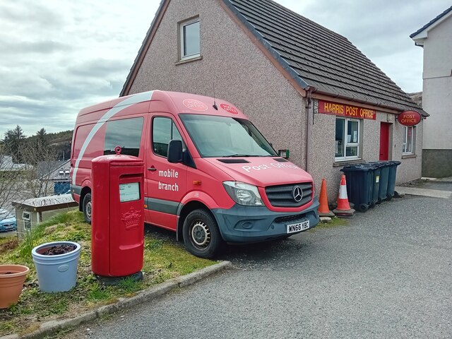
Harris distillery
Harris distillery is a Scotch whisky and Gin distillery in Tarbert on the Isle of Harris, Scotland. The distillery was the first legal distillery ever...

Tarbert, Harris
Tarbert (Scottish Gaelic: An Tairbeart [ən̪ˠ ˈt̪ɛrʲɛbərˠʃt̪]) is the main community on Harris in the Western Isles of Scotland. The name means "isthmus...

Sgeotasaigh
Scotasay (Scottish Gaelic: Sgeotasaigh) is small island in the Outer Hebrides of Scotland. It lies 1 kilometre (0.6 miles) off the east coast of Harris...

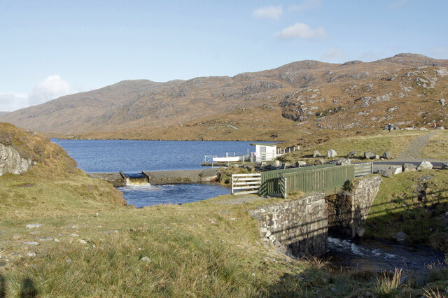
Harris, Outer Hebrides
Harris (Scottish Gaelic: Na Hearadh, pronounced [nə ˈhɛɾəɣ] ) is the southern and more mountainous part of Lewis and Harris, the largest island in the...
Related Videos
Harris and Lewis Island Holiday
A family trip to the Island of Harris and Lewis Cameras: XT-4 DJI Spark Pixel 6 Music from Epidemic Sound.
Harris - the Islands at the edge
Extracts from an 80 minute DVD I have made of a visit to the Isle of Harris in August 2014, containing video taken while camping at ...
THE ULTIMATE SCOTTISH ISLAND ROADTRIP 🏝
Glasgow, Glencoe, Skye, Harris, Lewis.

Breathtaking, The approach to Horgabost Campsite, Isle of Harris
The approach to Horgabost Campsite on the Isle of Harris. HS3 3HR Drone: DJI Mini 3 Pro Sister channel: ...
Nearby Amenities
Located within 500m of 57.898503,-6.7782263Have you been to Mol Bàn?
Leave your review of Mol Bàn below (or comments, questions and feedback).