Tràigh Hogh
Beach in Argyllshire
Scotland
Tràigh Hogh
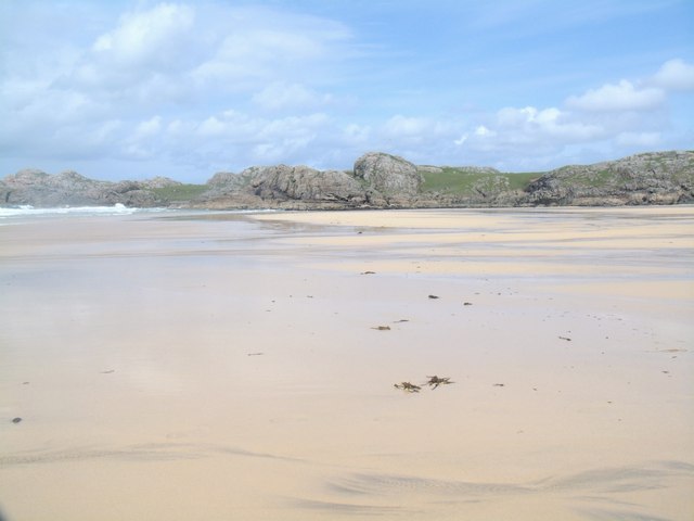
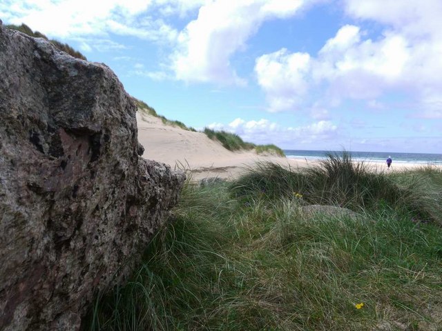
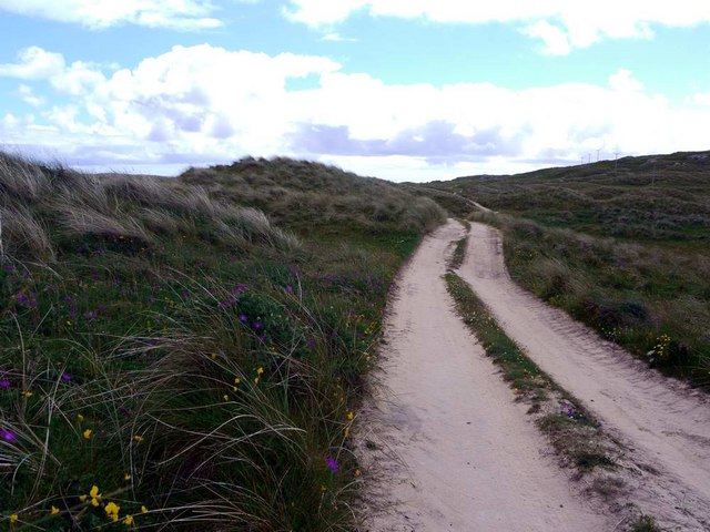
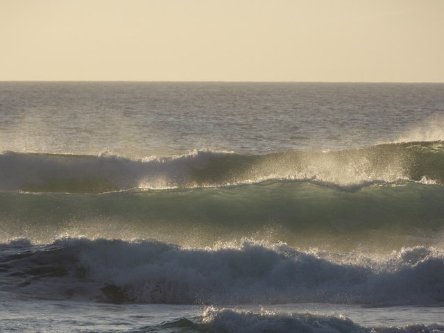
Tràigh Hogh is a stunning beach located in Argyllshire, Scotland. Situated on the western coast of the Scottish mainland, it offers visitors a picturesque and unspoiled coastal experience. With a length of approximately 2 miles, this sandy beach is known for its pristine beauty and breathtaking views.
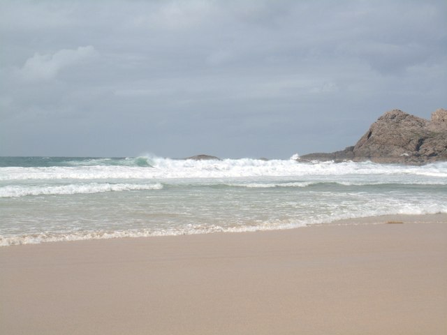
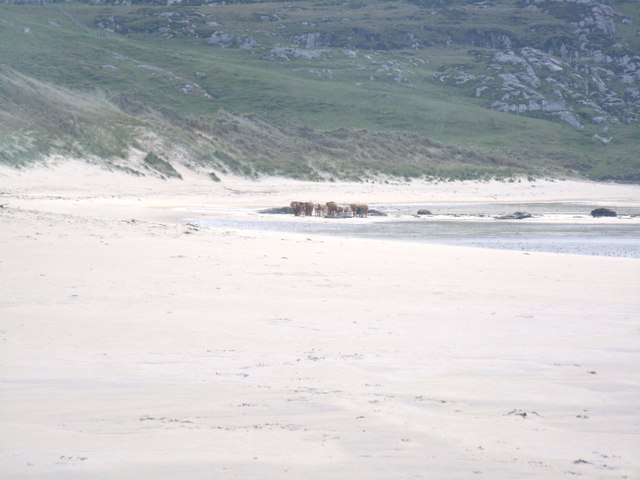
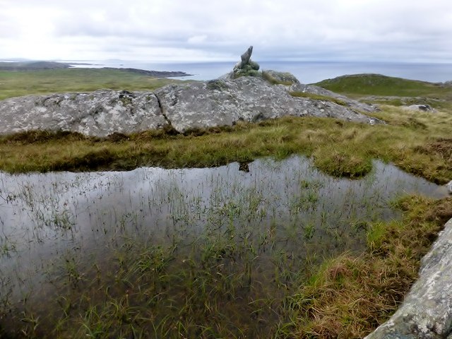
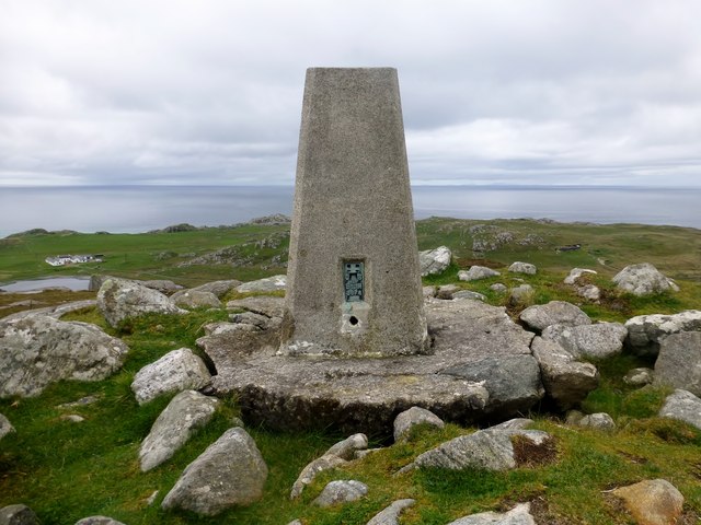
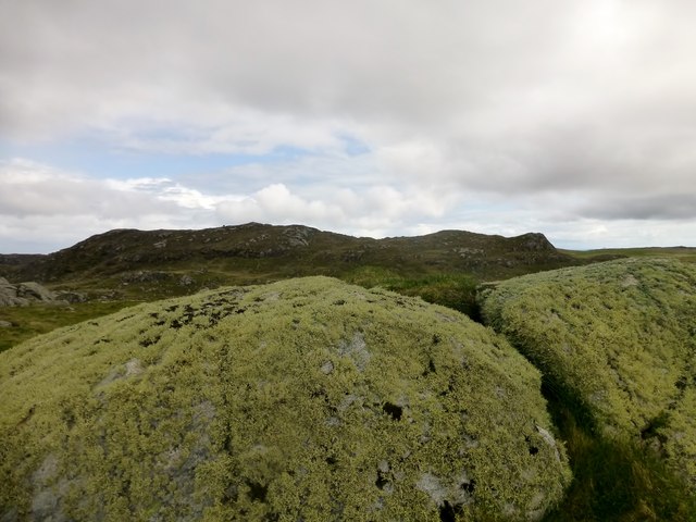
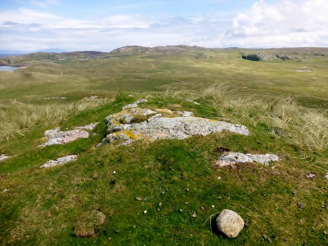
The beach is surrounded by rolling hills and rugged cliffs, providing a dramatic backdrop to the crystal-clear waters of the Atlantic Ocean. Its remote location ensures a sense of tranquility and seclusion, making it a popular destination for those seeking a peaceful escape from the hustle and bustle of city life.
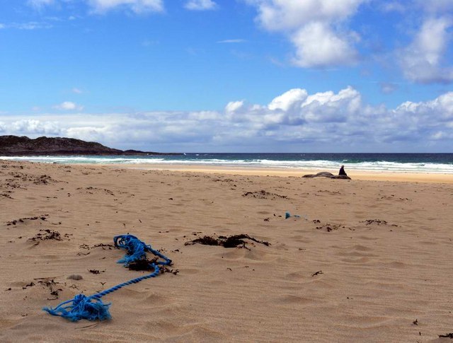
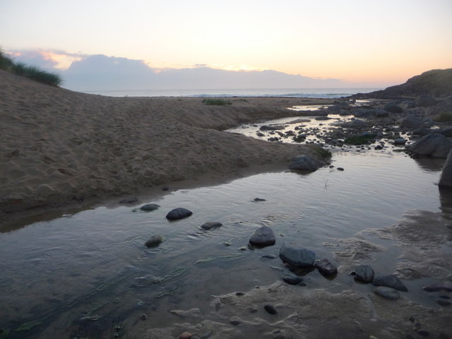
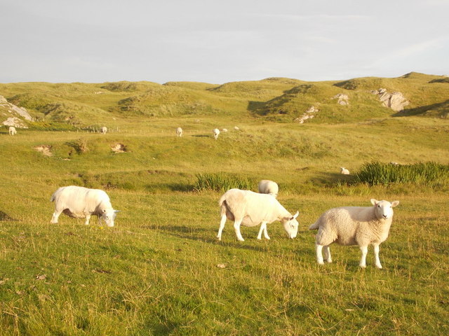
Tràigh Hogh boasts a wide expanse of golden sand that stretches out to meet the sparkling sea. At low tide, the beach reveals fascinating rock pools teeming with marine life, making it a great spot for exploring and discovering small creatures. The beach is also a haven for wildlife enthusiasts, as it is home to various seabirds and seals that can often be seen bobbing in the water or sunbathing on the rocks.
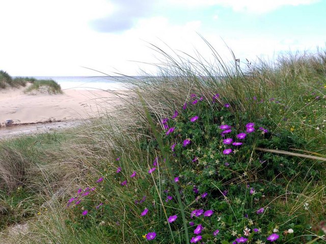
The beach is easily accessible, with a car park located nearby, and it offers various facilities including public toilets and picnic areas. It is a popular destination for families, couples, and nature lovers, who can enjoy long walks along the shore, picnics on the sand, or simply basking in the natural beauty of the surroundings.
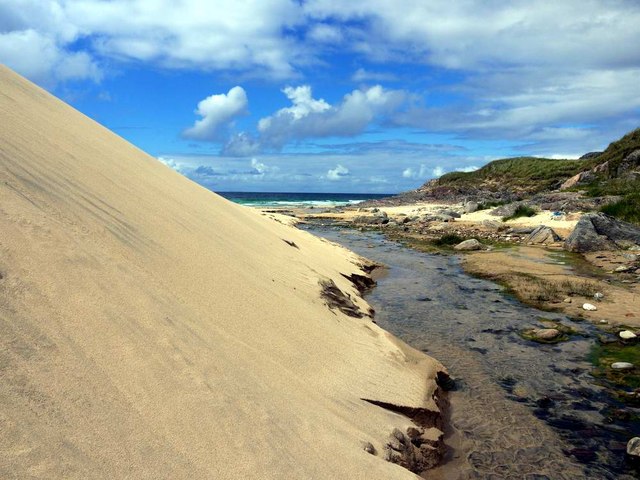
Tràigh Hogh, with its rugged coastline, pristine sands, and stunning views, is undoubtedly a hidden gem in the Argyllshire region, offering a tranquil and scenic retreat for all who visit.
If you have any feedback on the listing, please let us know in the comments section below.
Tràigh Hogh Images
Images are sourced within 2km of 56.621882/-6.6189279 or Grid Reference NM1657. Thanks to Geograph Open Source API. All images are credited.

Tràigh Hogh is located at Grid Ref: NM1657 (Lat: 56.621882, Lng: -6.6189279)
Unitary Authority: Argyll and Bute
Police Authority: Argyll and West Dunbartonshire
What 3 Words
///meant.feuds.fault. Near Arinagour, Argyll & Bute
Nearby Locations
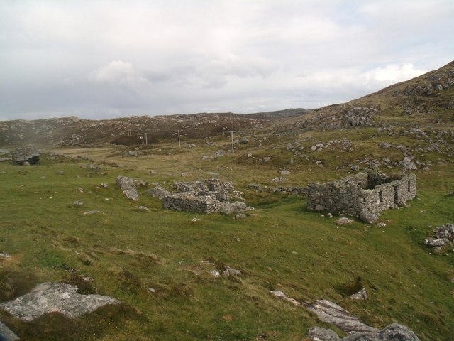
Related Wikis

Totamore dun
Totamore Dun is a dun located at grid reference NM17625713; near the settlement of Totamore, on the Inner Hebridean island of Coll. It occupies the summit...

An Caisteal (Coll)
An Caisteal (English: The Castle) is a hill fort located on the island of Coll. This island is one of the islands which make up the Inner Hebrides located...

Dùn Beic
Dùn Beic is a dun located on the Inner Hebridean island of Coll. It is located at grid reference NM15495644 and is thought to date to between 1000 BCE...
Dùn Anlaimh
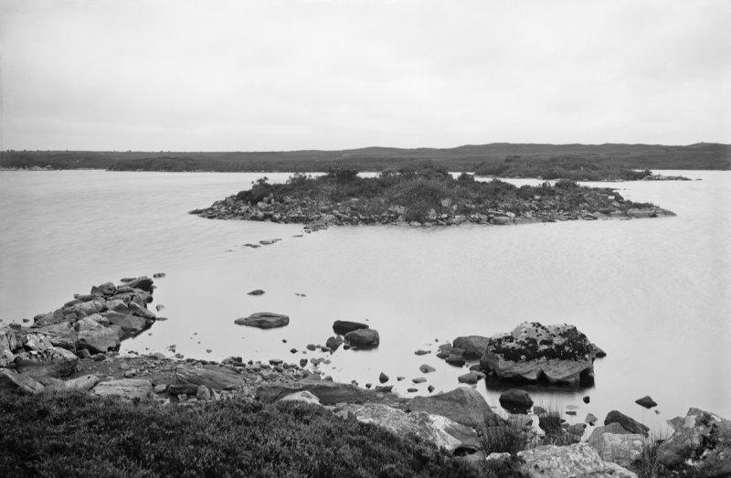
Dùn Anlaimh, also known as Dùn Amhlaidh, and Eilean nan Cinneachan, is a crannog (an artificial island), located within Loch nan Cinneachan on the Inner...
Nearby Amenities
Located within 500m of 56.621882,-6.6189279Have you been to Tràigh Hogh?
Leave your review of Tràigh Hogh below (or comments, questions and feedback).