Rubha nan Uan
Coastal Feature, Headland, Point in Argyllshire
Scotland
Rubha nan Uan
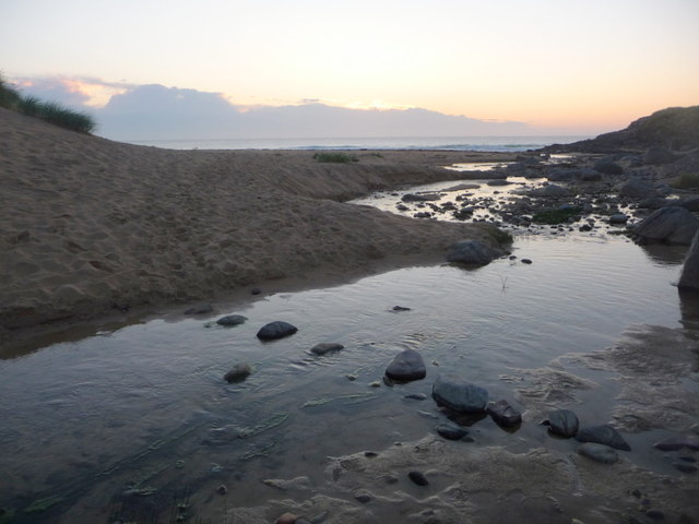
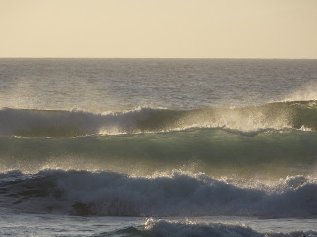
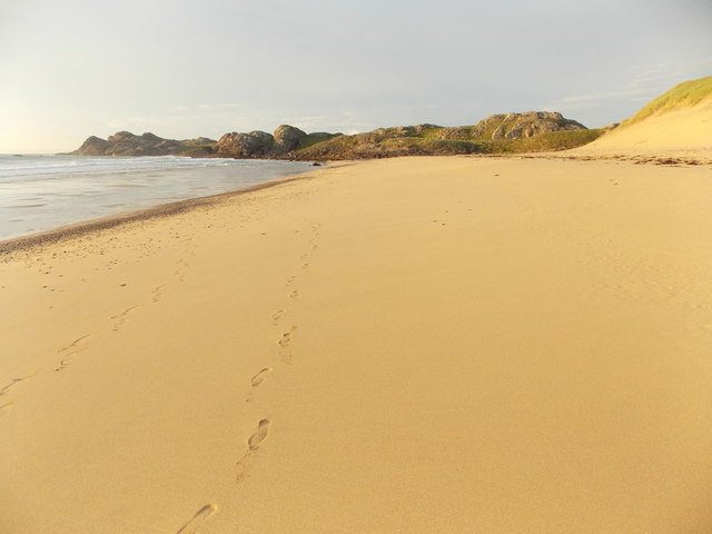
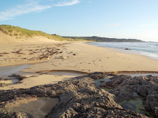
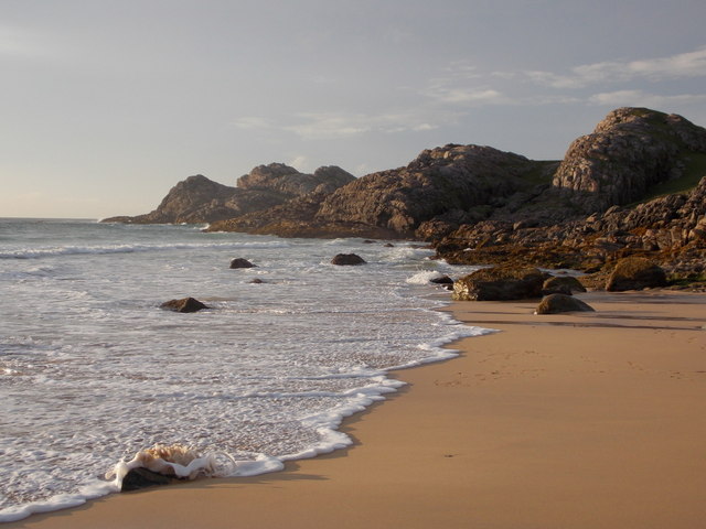
Rubha nan Uan is a prominent headland located in Argyllshire, Scotland. Situated on the western coast, this coastal feature is renowned for its rugged beauty and dramatic cliffs that plunge into the turbulent waters of the Atlantic Ocean.
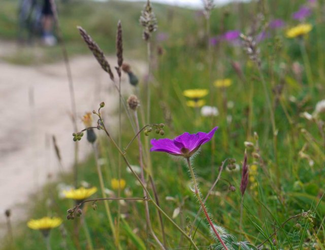
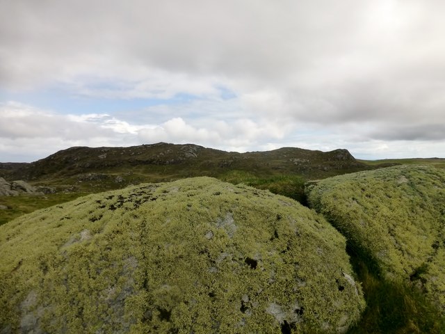
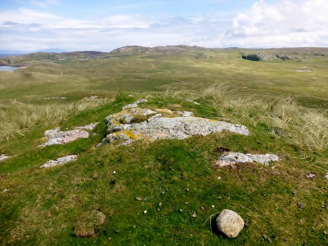
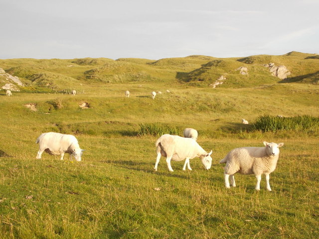
The name Rubha nan Uan translates to "Point of the Lambs" in Scottish Gaelic, which is a testament to the area's historical significance as a grazing ground for sheep. The headland is characterized by its rocky terrain, with steep slopes covered in heather and grasses, providing a natural habitat for various wildlife species.
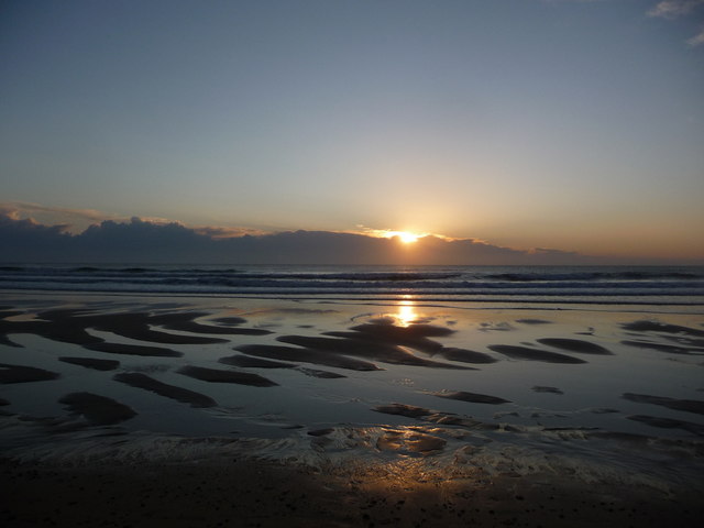
At approximately 100 meters in height, Rubha nan Uan offers breathtaking panoramic views of the surrounding coastline and the Inner Hebrides. Visitors can enjoy the sight of crashing waves, sea stacks, and an abundance of birdlife, including fulmars, gannets, and razorbills.
The headland is also home to a lighthouse, which was built in the early 19th century to guide ships safely through the treacherous waters. The lighthouse stands tall and serves as a reminder of the area's maritime heritage.
Rubha nan Uan attracts outdoor enthusiasts and nature lovers alike, who can explore the rugged coastal paths that wind their way around the headland. Hiking trails offer opportunities for breathtaking walks, allowing visitors to immerse themselves in the stunning natural surroundings.
Overall, Rubha nan Uan is a captivating coastal feature that offers a glimpse into the untamed beauty of Scotland's western coast, making it a must-visit destination for those seeking an authentic and awe-inspiring outdoor experience.
If you have any feedback on the listing, please let us know in the comments section below.
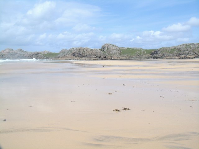
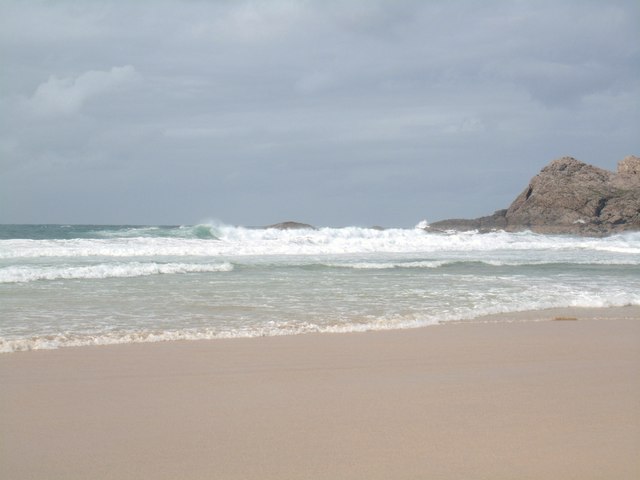
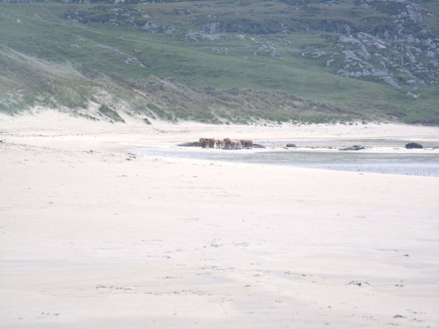
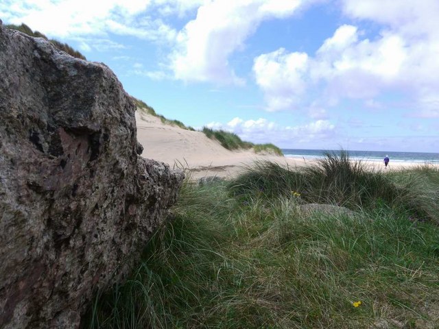
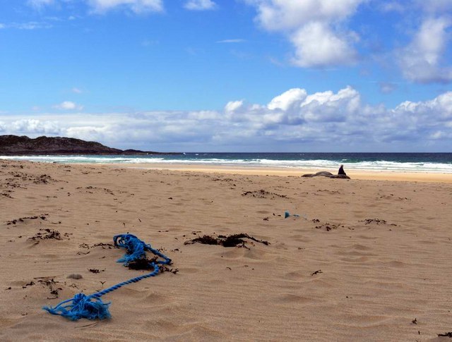
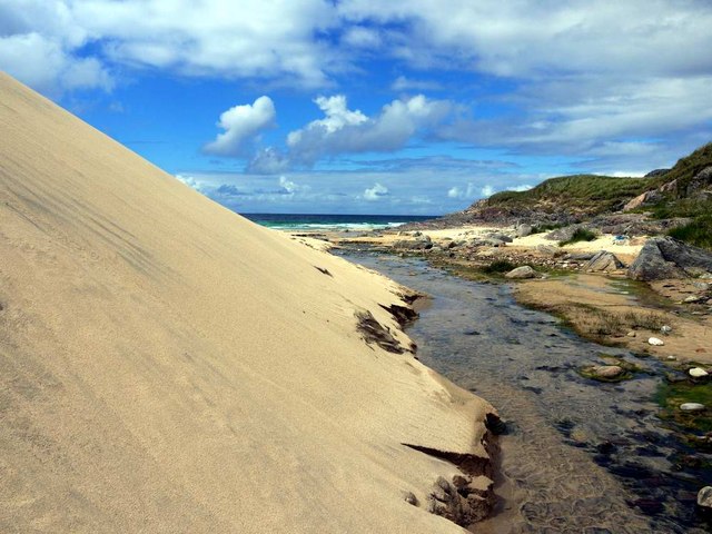
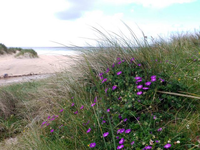
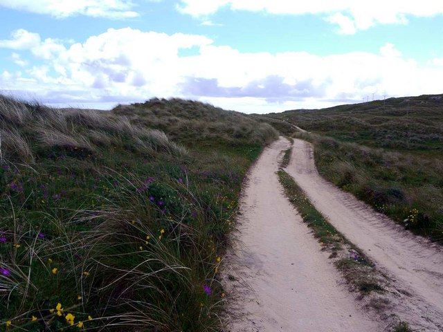
Rubha nan Uan Images
Images are sourced within 2km of 56.619978/-6.6309321 or Grid Reference NM1657. Thanks to Geograph Open Source API. All images are credited.
Rubha nan Uan is located at Grid Ref: NM1657 (Lat: 56.619978, Lng: -6.6309321)
Unitary Authority: Argyll and Bute
Police Authority: Argyll and West Dunbartonshire
What 3 Words
///highly.flick.teach. Near Arinagour, Argyll & Bute
Nearby Locations
Related Wikis

Dùn Beic
Dùn Beic is a dun located on the Inner Hebridean island of Coll. It is located at grid reference NM15495644 and is thought to date to between 1000 BCE...

An Caisteal (Coll)
An Caisteal (English: The Castle) is a hill fort located on the island of Coll. This island is one of the islands which make up the Inner Hebrides located...

Totamore dun
Totamore Dun is a dun located at grid reference NM17625713; near the settlement of Totamore, on the Inner Hebridean island of Coll. It occupies the summit...

Coll Airport
Coll Island Airport (IATA: COL, ICAO: EGEL) (Scottish Gaelic: Port-adhair Cholla) is located 5 NM (9.3 km; 5.8 mi) west southwest of Arinagour on the island...
Nearby Amenities
Located within 500m of 56.619978,-6.6309321Have you been to Rubha nan Uan?
Leave your review of Rubha nan Uan below (or comments, questions and feedback).