Rubha na Tuatha

Coastal Feature, Headland, Point in Inverness-shire

Scotland

Rubha na Tuatha

Dam and footbridge. Lochannan Lacasdail The wooden footbridge almost certainly replaces a former stone bridge which carried the road. There is now a modern road bridge out of shot on the right.
Dam and footbridge. Lochannan Lacasdail Credit: Richard Dorrell

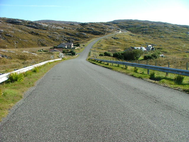
Rubha na Tuatha is a prominent coastal feature located in Inverness-shire, Scotland. It is a headland that juts out into the North Atlantic Ocean, forming a distinctive point along the rugged coastline. The name "Rubha na Tuatha" translates to "Headland of the Tribes" in Scottish Gaelic, reflecting the area's historical significance.

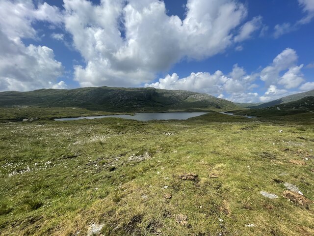
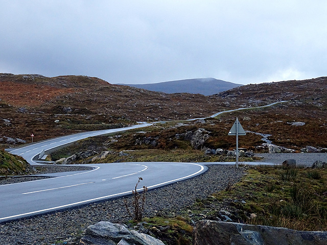
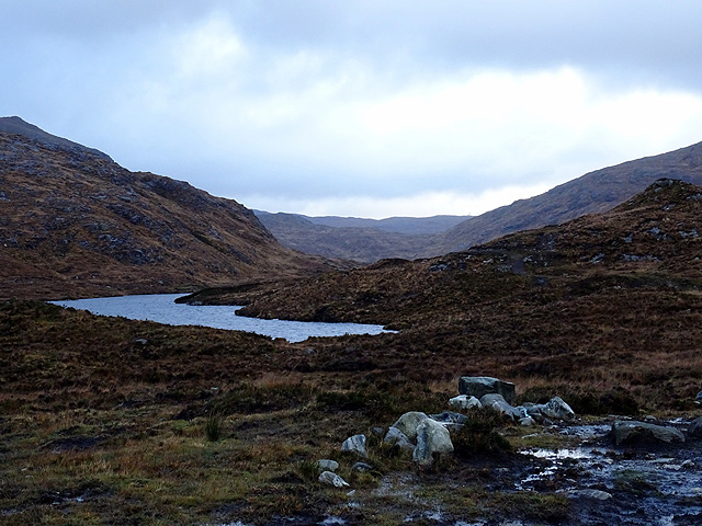
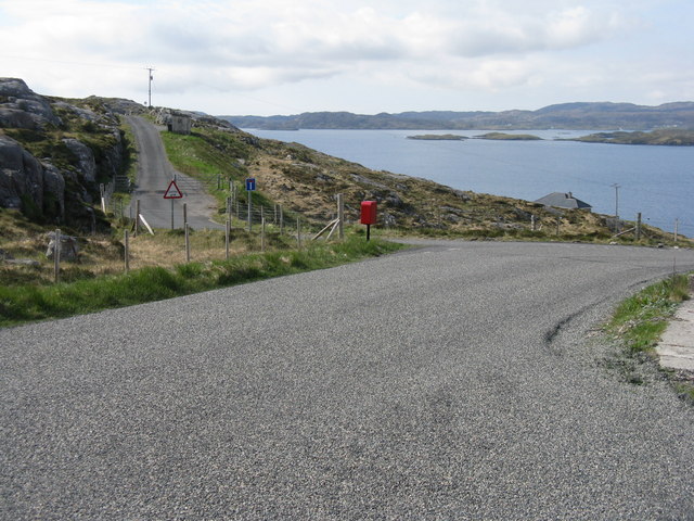
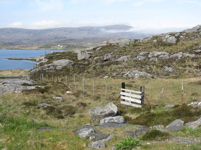
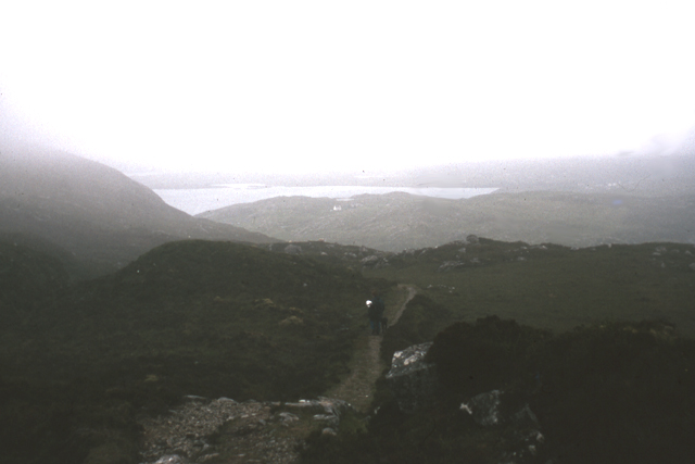
This coastal feature is characterized by its dramatic cliffs, which rise steeply from the sea, providing breathtaking views of the surrounding landscape. The cliffs are composed of rugged rock formations, showcasing the region's geological diversity. The headland itself is predominantly rocky, with scattered vegetation and grassy patches.

Rubha na Tuatha is known for its rich biodiversity, attracting a variety of bird species that nest along its cliffs. It serves as an important habitat for seabirds, including puffins, guillemots, and razorbills. The surrounding waters are also home to marine life such as seals and dolphins, making it a popular spot for wildlife enthusiasts.

In addition to its natural beauty, Rubha na Tuatha holds historical and cultural significance. It has been inhabited for centuries, with evidence of ancient settlements and burial sites. The headland also played a role in local folklore and legends, adding to its mystique.

Overall, Rubha na Tuatha is a stunning coastal feature that combines natural beauty, wildlife diversity, and cultural heritage. It is a must-visit destination for nature lovers, hikers, and history enthusiasts seeking to explore the picturesque landscapes and learn about the area's rich past.

If you have any feedback on the listing, please let us know in the comments section below.

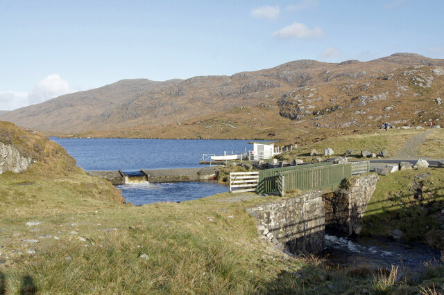
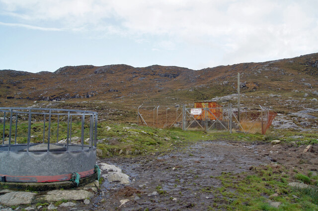
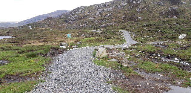
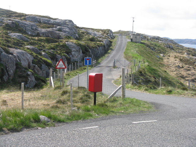
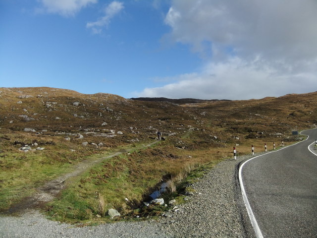
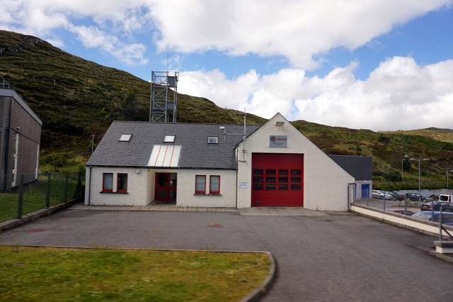
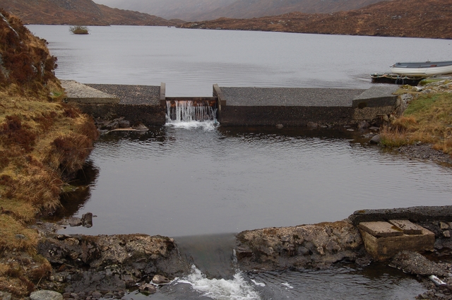
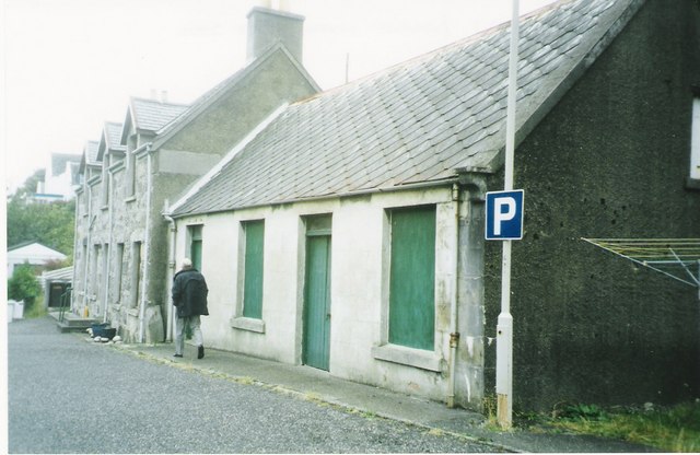
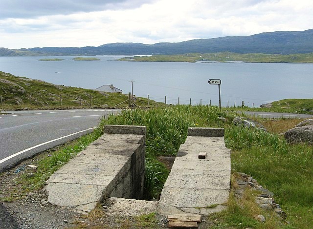
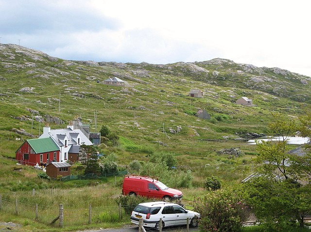
Rubha na Tuatha Images

Images are sourced within 2km of 57.896792/-6.7801613 or Grid Reference NG1699. Thanks to Geograph Open Source API. All images are credited.

Dam and footbridge. Lochannan Lacasdail The wooden footbridge almost certainly replaces a former stone bridge which carried the road. There is now a modern road bridge out of shot on the right.
Dam and footbridge. Lochannan Lacasdail
The wooden footbridge almost certainly replaces a former stone bridge which carried the road. There is now a modern road bridge out of shot on the right.
Explosives store The sign on the fence reads 'Explosives Store', though the rickety looking building within looks like it has seen better days, so I doubt any explosives are stored there now, and I have to wonder why they were ever there is the first place.
Explosives store
The sign on the fence reads 'Explosives Store', though the rickety looking building within looks like it has seen better days, so I doubt any explosives are stored there now, and I have to wonder why they were ever there is the first place.
Path around Lochanan Lacasdail This path looks brand new.
Path around Lochanan Lacasdail
This path looks brand new.
Harris Landscape Geocaching is a type of global treasure hunt of people looking for caches, or hidden stashes of objects. Geocaching may also be described as a series of hide-and-seek games, where hiders provide online clues for seekers. Seekers use global positioning system (GPS) devices to find hidden caches
Harris Landscape
Geocaching is a type of global treasure hunt of people looking for caches, or hidden stashes of objects. Geocaching may also be described as a series of hide-and-seek games, where hiders provide online clues for seekers. Seekers use global positioning system (GPS) devices to find hidden caches
Bends in the road On the road from Scalpay to Tarbert.
Bends in the road
On the road from Scalpay to Tarbert.
Lochanan Lacasdail A seiries of lochs which extend a lot further than suggested by this image.
Lochanan Lacasdail
A seiries of lochs which extend a lot further than suggested by this image.
Post box at Urgha Beag At the turn off from the Scalpay road to Urgha Beag. Looking out to Bàgh Urgha Beag.
Post box at Urgha Beag
At the turn off from the Scalpay road to Urgha Beag. Looking out to Bàgh Urgha Beag.
Rocky hillside at Urgha Beag Looking out over Bàgh Urgha Beag.
Rocky hillside at Urgha Beag
Looking out over Bàgh Urgha Beag.
Urgha road end With post box, road signs and cattle grid.
Urgha road end
With post box, road signs and cattle grid.
Path to Reinigeadal
Path to Reinigeadal
Tarbert Fire Station
The Lovely Janice They don't make them like that any more! Bus parked in the car park of the Harris Hotel
The Lovely Janice
They don't make them like that any more! Bus parked in the car park of the Harris Hotel
Old path to Reinigeadal, Harris Old path to Reinigeadal, Harris, looking back towards Tarbert. This path was the only route to the community of Reinigeadal until a road was built approaching it from the north.
Old path to Reinigeadal, Harris
Old path to Reinigeadal, Harris, looking back towards Tarbert. This path was the only route to the community of Reinigeadal until a road was built approaching it from the north.
Dam on Loch Lacasdail A small dam at the south of the loch.
Dam on Loch Lacasdail
A small dam at the south of the loch.
MacAskill's former store Tarbert For many years these premises were run by a Mr MacAskill as a general store. He continued to work in the store until his nineties.
MacAskill's former store Tarbert
For many years these premises were run by a Mr MacAskill as a general store. He continued to work in the store until his nineties.
Car ramp near Urgha Beag Several of these outdoor concrete car ramps are to be found in seemingly unlikely roadside locations in Harris.  They were apparently built as part of a Job Creation scheme in the late 20th century, and are available for public use.  The example in the photo is situated on the minor road from Tarbert to Scalpay, near its junction with the road to Urgha.
Car ramp near Urgha Beag
Several of these outdoor concrete car ramps are to be found in seemingly unlikely roadside locations in Harris. They were apparently built as part of a Job Creation scheme in the late 20th century, and are available for public use. The example in the photo is situated on the minor road from Tarbert to Scalpay, near its junction with the road to Urgha.
Urgha Beag Urgha Beag consists of a handful of crofts on the minor road running between Tarbert and the island of Scalpay.
Urgha Beag
Urgha Beag consists of a handful of crofts on the minor road running between Tarbert and the island of Scalpay.
Houses at Oban A small settlement on the Tarbert to Scalpay road.
Houses at Oban
A small settlement on the Tarbert to Scalpay road.
Show me another place!

Rubha na Tuatha is located at Grid Ref: NG1699 (Lat: 57.896792, Lng: -6.7801613)

Unitary Authority: Na h-Eileanan an Iar

Police Authority: Highlands and Islands

What 3 Words

///loom.supplier.breakfast. Near Tarbert, Na h-Eileanan Siar

Related Wikis

Harris distillery

Harris distillery is a Scotch whisky and Gin distillery in Tarbert on the Isle of Harris, Scotland. The distillery was the first legal distillery ever...

Tarbert, Harris

Tarbert (Scottish Gaelic: An Tairbeart [ən̪ˠ ˈt̪ɛrʲɛbərˠʃt̪]) is the main community on Harris in the Western Isles of Scotland. The name means "isthmus...

Sgeotasaigh

Scotasay (Scottish Gaelic: Sgeotasaigh) is small island in the Outer Hebrides of Scotland. It lies 1 kilometre (0.6 miles) off the east coast of Harris...

Harris, Outer Hebrides

Harris (Scottish Gaelic: Na Hearadh, pronounced [nə ˈhɛɾəɣ] ) is the southern and more mountainous part of Lewis and Harris, the largest island in the...

East Loch Tarbert

East Loch Tarbert (Scottish Gaelic: Loch an Tairbeairt) is a sea loch that lies to the east of Harris in the Outer Hebrides of Scotland. The loch contains...

Ardhasaig

Ardhasaig (Scottish Gaelic: Àird Àsaig) is a settlement on the western coast of north Harris, in the Outer Hebrides, Scotland. Ardhasaig is also within...

Bun Abhainn Eadarra

Bun Abhainn Eadarra or Bunavoneadar is a hamlet adjacent to the Loch Bun Abhainn Eadarra, on the south shore of North Harris, in the Outer Hebrides, Scotland...

Rèinigeadal

Rèinigeadal (or Rhenigidale) is a small settlement in Harris, in the Western Isles in Scotland. It is situated on the east coast of Harris 8 kilometres...

Nearby Amenities

Located within 500m of 57.896792,-6.7801613
Created By: dmgroom_coastlines
Lat/Long: 57.8966676/-6.7862224
Bus Stop
Urgha
Naptan AtcoCode: 6010731885
Naptan Bearing: SE
Naptan CommonName: Urgha
Naptan Indicator: Village
Naptan Landmark: Village
Naptan NaptanCode: 94724362
Naptan Street: Village
Naptan Verified: no
Source: naptan_import
Lat/Long: 57.9004538/-6.7781943
Barrier: cattle_grid
Lat/Long: 57.8998179/-6.7846977
Barrier: cattle_grid
Lat/Long: 57.9010102/-6.7805564
Barrier: cattle_grid
Lat/Long: 57.8991427/-6.7788887
Oban
Place: isolated_dwelling
Lat/Long: 57.8990307/-6.7832104
Bagh Urgha Beag
Natural: bay
Lat/Long: 57.897824/-6.7753071
Material: wood
Power: pole
Lat/Long: 57.9010829/-6.7804785
Material: wood
Power: pole
Lat/Long: 57.9009802/-6.780667
Material: wood
Power: pole
Lat/Long: 57.9007015/-6.7801789
Barrier: cattle_grid
Lat/Long: 57.8990403/-6.7796384
Barrier: cattle_grid
Lat/Long: 57.8985507/-6.7829027
Sanitary Dump Station
Charge: 3 £
Fee: yes
Lat/Long: 57.9010574/-6.782271
Power: pole
Lat/Long: 57.9005126/-6.7765397
Power: pole
Lat/Long: 57.9002896/-6.7772988
Power: pole
Lat/Long: 57.9001669/-6.7789887
Power: pole
Lat/Long: 57.8989561/-6.785106
Power: pole
Lat/Long: 57.8985057/-6.7876293
Power: pole
Lat/Long: 57.8986382/-6.7867596
Power: pole
Lat/Long: 57.8987786/-6.7860224
Power: pole
Lat/Long: 57.8990598/-6.7844678
Power: pole
Lat/Long: 57.8992087/-6.783706
Power: pole
Lat/Long: 57.8989885/-6.787099
The data included in this document is from www.openstreetmap.org. The data is made available under ODbL.

Have you been to Rubha na Tuatha?

Leave your review of Rubha na Tuatha below (or comments, questions and feedback).