Lillywhites Field
Downs, Moorland in Sussex Horsham
England
Lillywhites Field
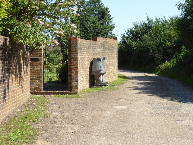
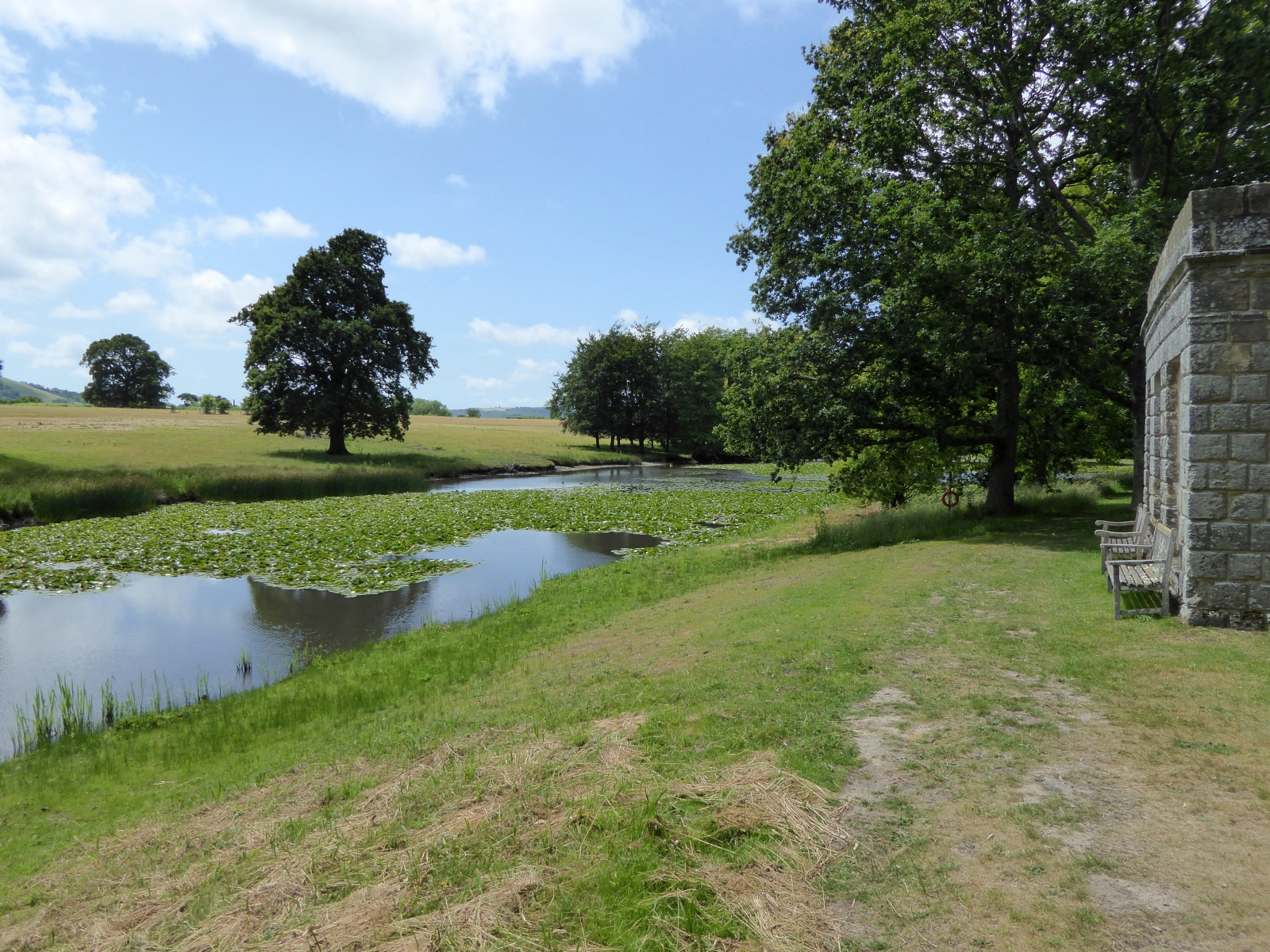
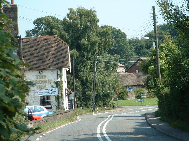
Lillywhites Field is a picturesque landscape located in Sussex, England. Situated amidst the stunning Sussex Downs and Moorland, this area is blessed with breathtaking natural beauty. The field is named after Lillywhite, a prominent local landowner who owned the land in the 19th century.
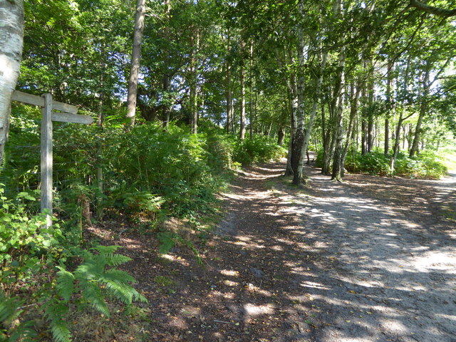
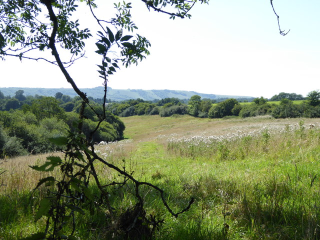
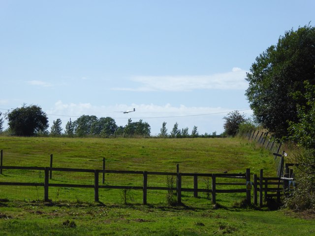
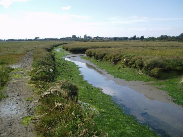
Covering a vast expanse, Lillywhites Field is characterized by rolling hills, lush green meadows, and scattered patches of dense woodland. The field is a haven for wildlife enthusiasts, offering a diverse range of flora and fauna. Visitors can spot various species of birds, butterflies, and wildflowers, making it a paradise for nature lovers and photographers alike.
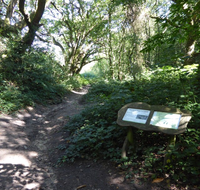
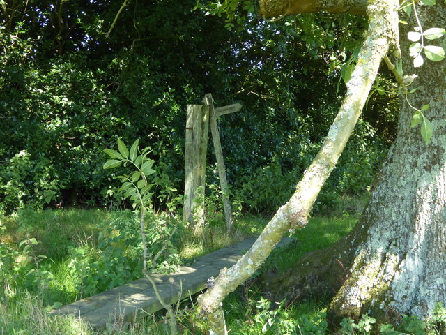
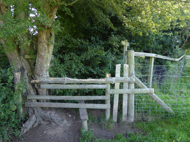
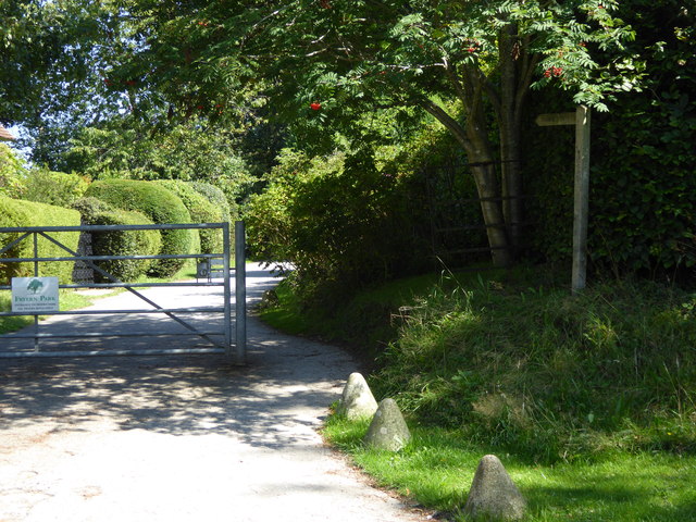
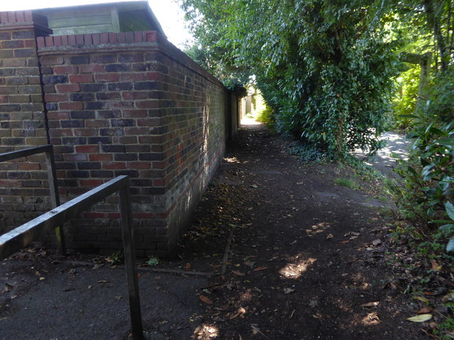
The field is also home to several footpaths and trails, providing ample opportunities for leisurely walks and hiking adventures. The trails meander through the fields, offering panoramic views of the surrounding countryside. The serenity of the landscape makes it an ideal spot for picnics and family outings.
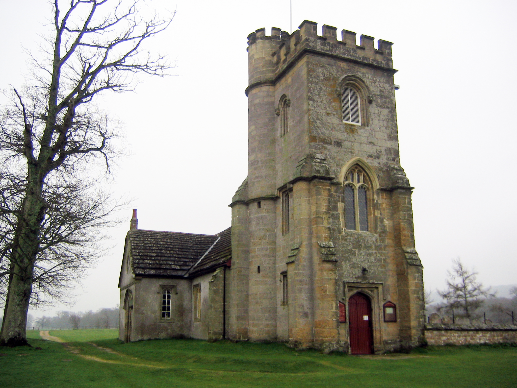
Lillywhites Field is steeped in history and folklore, with ancient burial mounds and archaeological sites dotting the landscape. These remnants of the past add an element of intrigue and mystery to the area, attracting history enthusiasts and archaeologists.
Overall, Lillywhites Field in Sussex is a captivating destination that showcases the best of nature and history. Its idyllic setting, diverse wildlife, and rich heritage make it a must-visit for anyone seeking a tranquil escape in the heart of the English countryside.
If you have any feedback on the listing, please let us know in the comments section below.
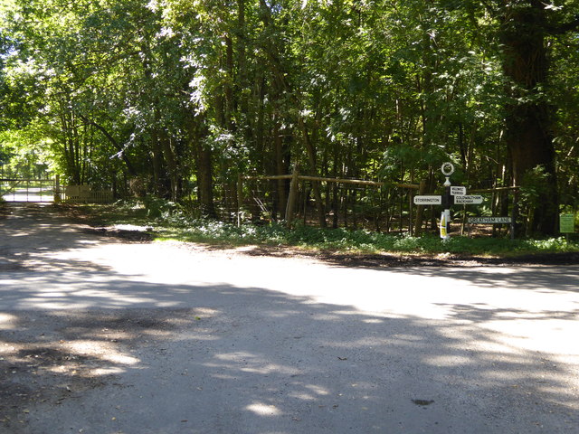
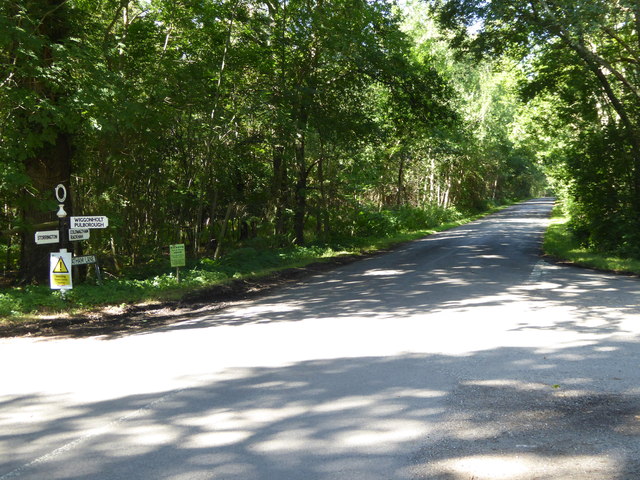
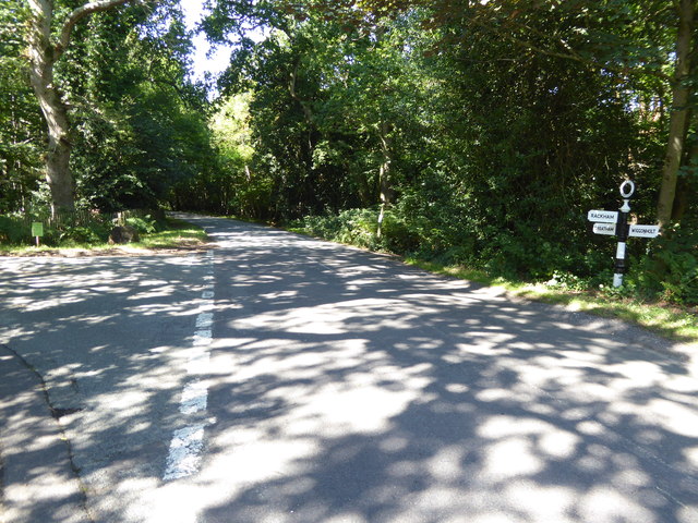
Lillywhites Field Images
Images are sourced within 2km of 50.922112/-0.48348909 or Grid Reference TQ0614. Thanks to Geograph Open Source API. All images are credited.

Lillywhites Field is located at Grid Ref: TQ0614 (Lat: 50.922112, Lng: -0.48348909)
Administrative County: West Sussex
District: Horsham
Police Authority: Sussex
What 3 Words
///bills.firebird.oatmeal. Near Storrington, West Sussex
Nearby Locations
Related Wikis

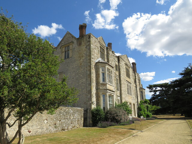
Parham Park
Parham Park is an Elizabethan house and estate in the civil parish of Parham, west of the village of Cootham, and between Storrington and Pulborough, West...
Parham Park SSSI
Parham Park SSSI is a 263.3-hectare (651-acre) biological Site of Special Scientific Interest in the grounds of Parham Park, west of Storrington in West...
Cootham
Cootham ( KOHT-əm, KOOT-) is a hamlet in the Horsham District of West Sussex, England. It lies on the A283 road 0.9 miles (1.4 km) west of Storrington...
Parham, West Sussex
Parham is a civil parish in the Horsham District of West Sussex, England. There was a village of Parham, around the parish church, but its few houses were...
List of local nature reserves in West Sussex
Local nature reserves (LNRs) are designated by local authorities under the National Parks and Access to the Countryside Act 1949. The local authority must...

West Sussex
West Sussex is a ceremonial county in South East England. It is bordered by Surrey to the north, East Sussex to the east, the English Channel to the south...

Storrington F.C.
Storrington Football Club is a football club based in Storrington, near Horsham, West Sussex, England. Storrington FCwere 1st formed in 1882, where they...

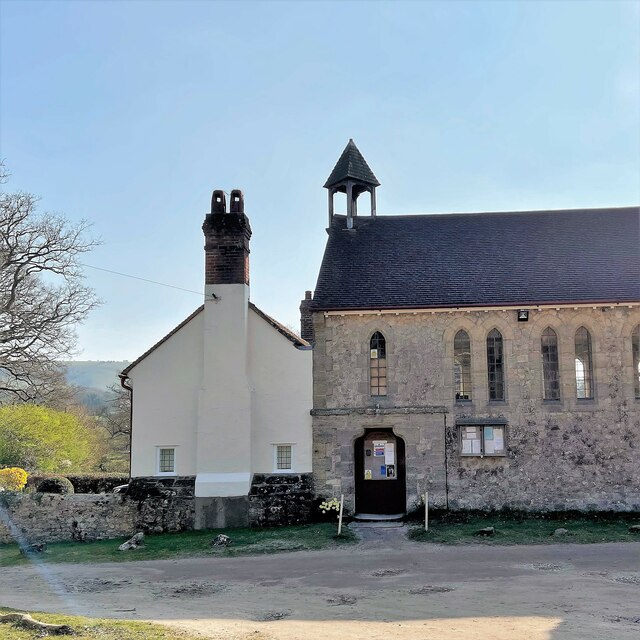
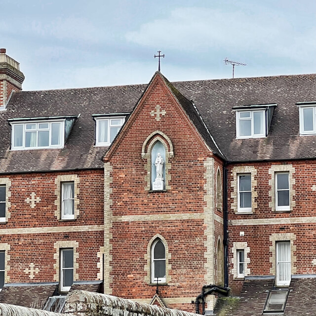
Our Lady of England Priory
Our Lady of England Priory in Storrington, West Sussex, England is the former home of Roman Catholic priests belonging to a Community of Canons Regular...
Nearby Amenities
Located within 500m of 50.922112,-0.48348909Have you been to Lillywhites Field?
Leave your review of Lillywhites Field below (or comments, questions and feedback).