Windmill Hill
Hill, Mountain in Sussex Horsham
England
Windmill Hill
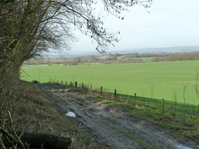
Windmill Hill, located in Sussex, England, is a prominent hill that forms part of the South Downs, a range of chalk hills stretching across southern England. Rising to an elevation of 193 meters (633 feet), Windmill Hill offers commanding views of the surrounding countryside and is a popular destination for outdoor enthusiasts and nature lovers.
The hill derives its name from the presence of a windmill that once stood at its summit, although only remnants of the structure remain today. The site is now dominated by a cluster of radio masts and communication equipment, serving as a vital telecommunications hub for the region.
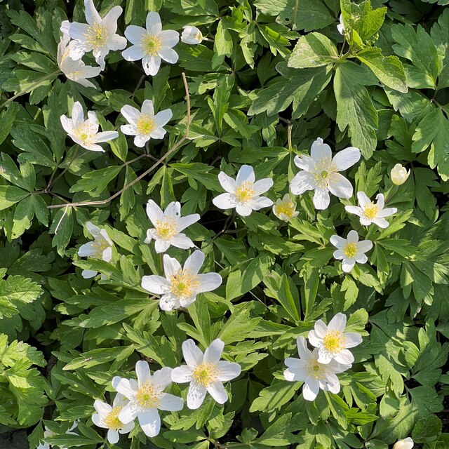
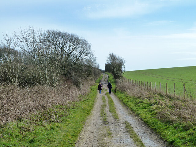
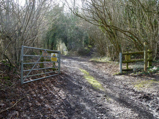
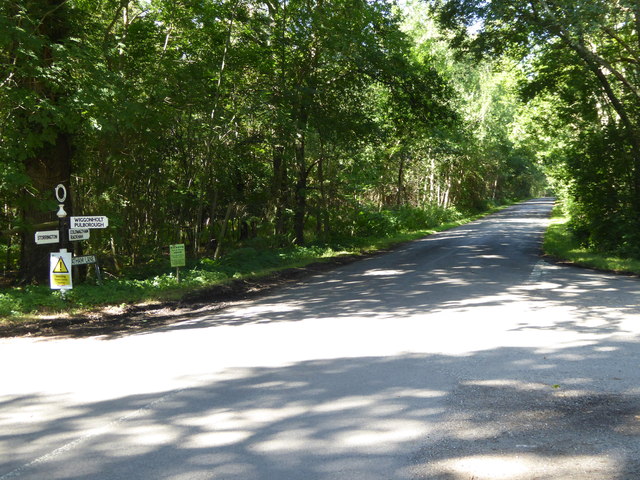
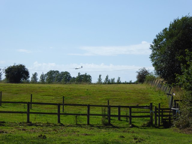
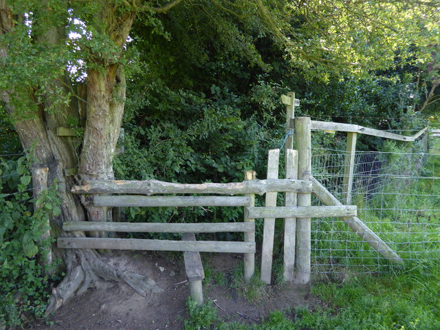
Covered in lush green grass and scattered with wildflowers, Windmill Hill is an idyllic spot for picnicking, walking, and enjoying the outdoors. The hill is crisscrossed by footpaths and bridleways, providing opportunities for leisurely strolls and more challenging hikes.
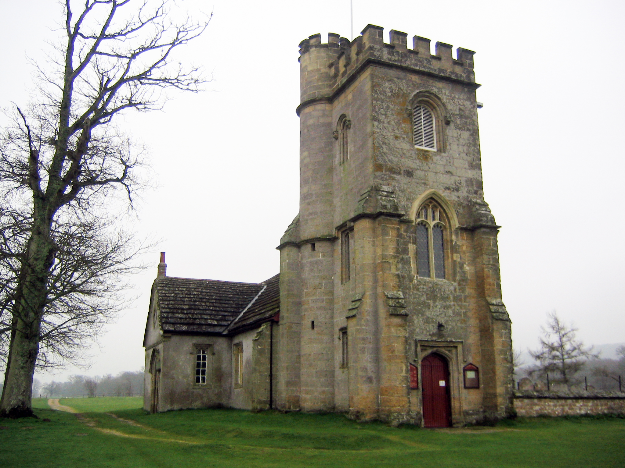
In addition to its natural beauty, Windmill Hill boasts a rich historical heritage. It is believed to have been used as a defensive site during the Iron Age, with remnants of an ancient hillfort still visible. The area has also been associated with Roman activity, evidenced by the discovery of pottery fragments and other artifacts.
Windmill Hill's location within the South Downs National Park further enhances its appeal. The park encompasses over 1600 square kilometers (620 square miles) of stunning landscapes, diverse wildlife, and numerous recreational activities, making it a cherished destination for both locals and visitors alike.
If you have any feedback on the listing, please let us know in the comments section below.
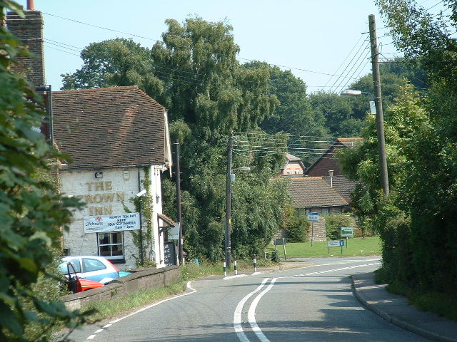
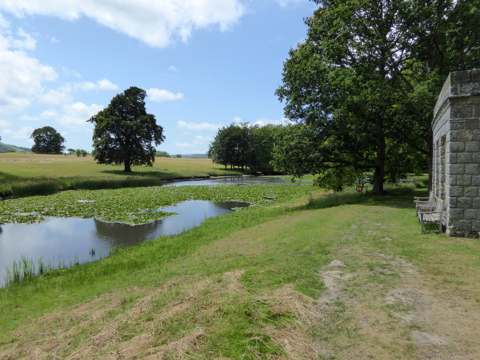
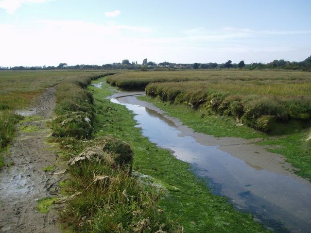
Windmill Hill Images
Images are sourced within 2km of 50.917852/-0.48303003 or Grid Reference TQ0614. Thanks to Geograph Open Source API. All images are credited.


Windmill Hill is located at Grid Ref: TQ0614 (Lat: 50.917852, Lng: -0.48303003)
Administrative County: West Sussex
District: Horsham
Police Authority: Sussex
What 3 Words
///page.doing.grunt. Near Storrington, West Sussex
Nearby Locations
Related Wikis
Parham, West Sussex
Parham is a civil parish in the Horsham District of West Sussex, England. There was a village of Parham, around the parish church, but its few houses were...
Cootham
Cootham ( KOHT-əm, KOOT-) is a hamlet in the Horsham District of West Sussex, England. It lies on the A283 road 0.9 miles (1.4 km) west of Storrington...

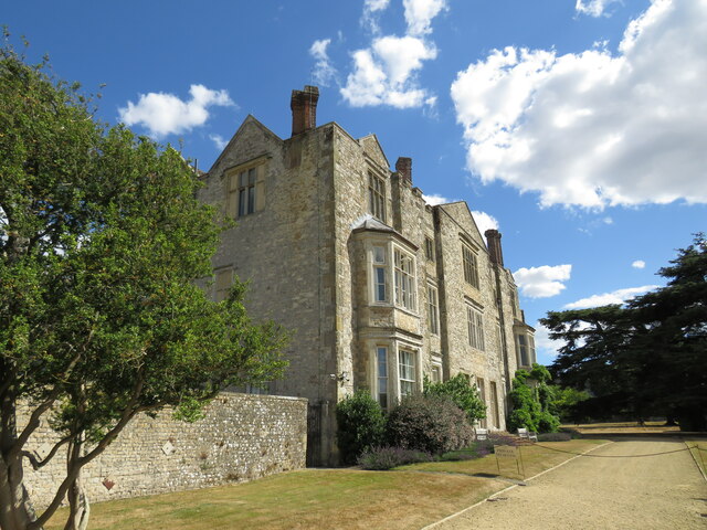
Parham Park
Parham Park is an Elizabethan house and estate in the civil parish of Parham, west of the village of Cootham, and between Storrington and Pulborough, West...
Parham Park SSSI
Parham Park SSSI is a 263.3-hectare (651-acre) biological Site of Special Scientific Interest in the grounds of Parham Park, west of Storrington in West...
List of local nature reserves in West Sussex
Local nature reserves (LNRs) are designated by local authorities under the National Parks and Access to the Countryside Act 1949. The local authority must...

West Sussex
West Sussex is a ceremonial county in South East England. It is bordered by Surrey to the north, East Sussex to the east, the English Channel to the south...

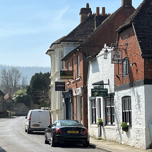
Storrington F.C.
Storrington Football Club is a football club based in Storrington, near Horsham, West Sussex, England. Storrington FCwere 1st formed in 1882, where they...

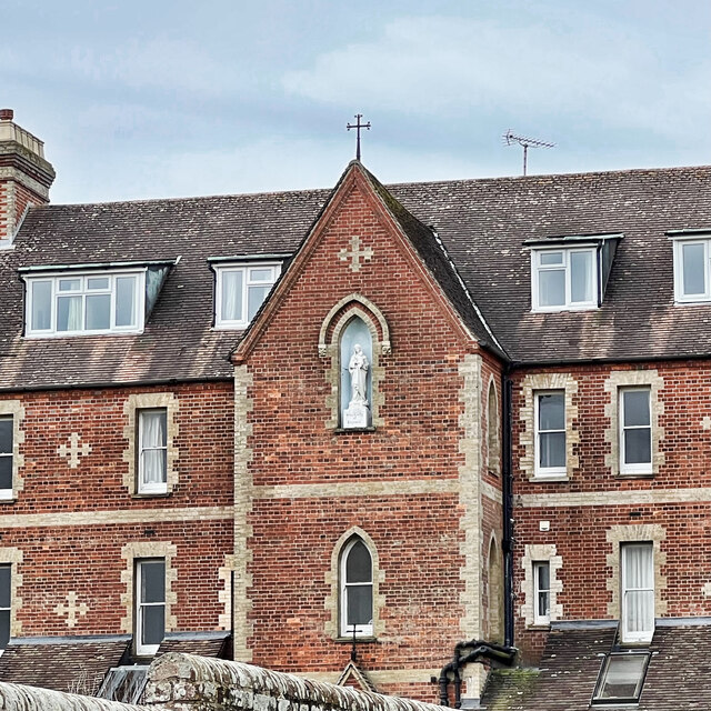
Our Lady of England Priory
Our Lady of England Priory in Storrington, West Sussex, England is the former home of Roman Catholic priests belonging to a Community of Canons Regular...
Nearby Amenities
Located within 500m of 50.917852,-0.48303003Have you been to Windmill Hill?
Leave your review of Windmill Hill below (or comments, questions and feedback).