Peckham Grove
Wood, Forest in Sussex Horsham
England
Peckham Grove
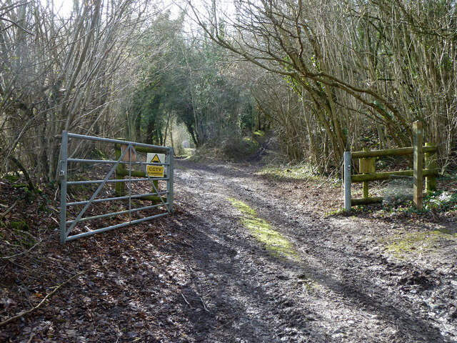
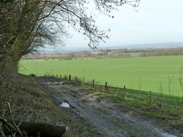
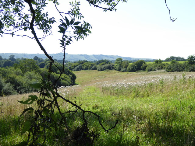
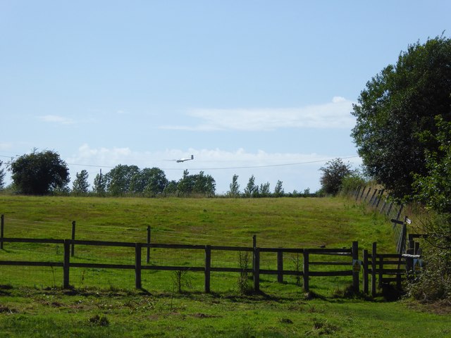
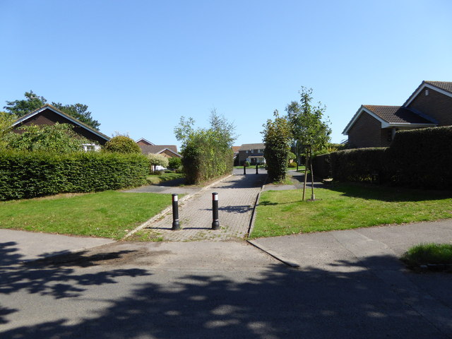
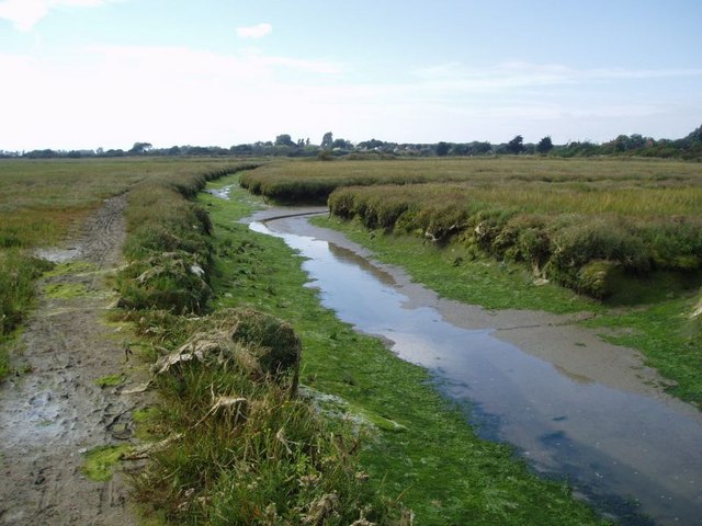
Peckham Grove is a picturesque woodland located in Sussex, England. Situated in the heart of the county, it is a haven for nature enthusiasts and those seeking tranquility amidst the hustle and bustle of everyday life. Covering an area of approximately 100 acres, Peckham Grove is home to a diverse range of flora and fauna, making it a popular destination for wildlife enthusiasts.
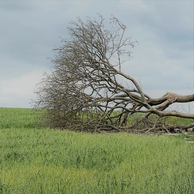
The woodland is dominated by a mixture of deciduous and coniferous trees, including oak, beech, ash, and pine. The dense canopy provides a cool and shaded environment, perfect for leisurely walks on hot summer days. The forest floor is adorned with a carpet of bluebells in the spring, creating a stunning display of color and fragrance.
Peckham Grove is also home to a variety of wildlife, including deer, foxes, squirrels, and a multitude of bird species. Rare sightings of badgers and owls have also been reported in the area. The woodland offers an ideal habitat for these creatures, with plenty of food sources and shelter provided by the dense vegetation.
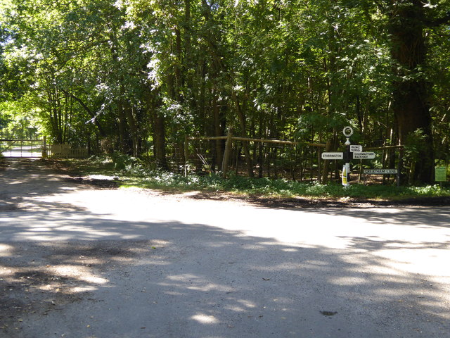
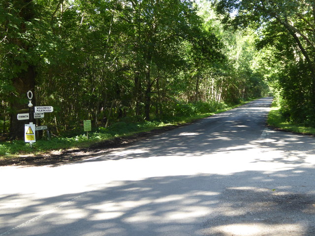
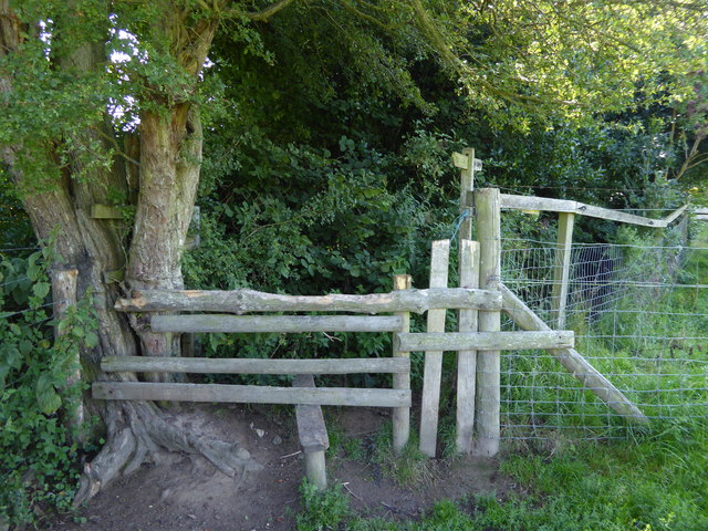
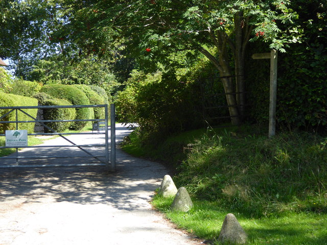
The woodland is crisscrossed by a network of well-maintained footpaths, allowing visitors to explore the area at their own pace. These paths lead to hidden clearings, babbling brooks, and secluded picnic spots, providing numerous opportunities to relax and reconnect with nature.
Peckham Grove is a true gem of Sussex, offering a peaceful retreat for those seeking solace in the beauty of the natural world. Whether it's a leisurely stroll, birdwatching, or simply enjoying a picnic amidst the tranquil surroundings, this woodland has something to offer for everyone.
If you have any feedback on the listing, please let us know in the comments section below.
Peckham Grove Images
Images are sourced within 2km of 50.919127/-0.48217764 or Grid Reference TQ0614. Thanks to Geograph Open Source API. All images are credited.

Peckham Grove is located at Grid Ref: TQ0614 (Lat: 50.919127, Lng: -0.48217764)
Administrative County: West Sussex
District: Horsham
Police Authority: Sussex
What 3 Words
///paves.launch.litigate. Near Storrington, West Sussex
Nearby Locations
Related Wikis
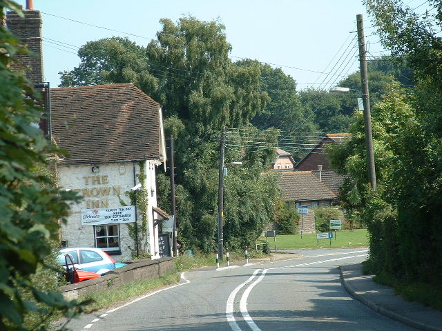
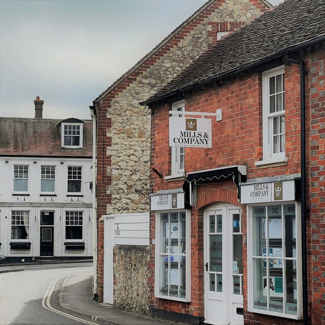
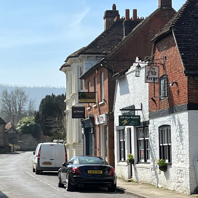
Cootham
Cootham ( KOHT-əm, KOOT-) is a hamlet in the Horsham District of West Sussex, England. It lies on the A283 road 0.9 miles (1.4 km) west of Storrington...
Parham, West Sussex
Parham is a civil parish in the Horsham District of West Sussex, England. There was a village of Parham, around the parish church, but its few houses were...

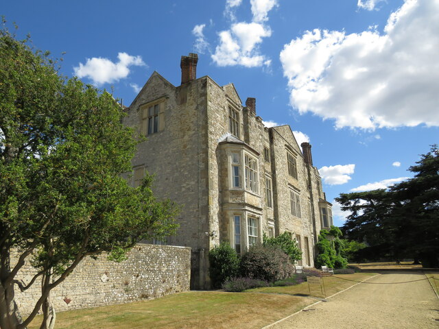
Parham Park
Parham Park is an Elizabethan house and estate in the civil parish of Parham, west of the village of Cootham, and between Storrington and Pulborough, West...
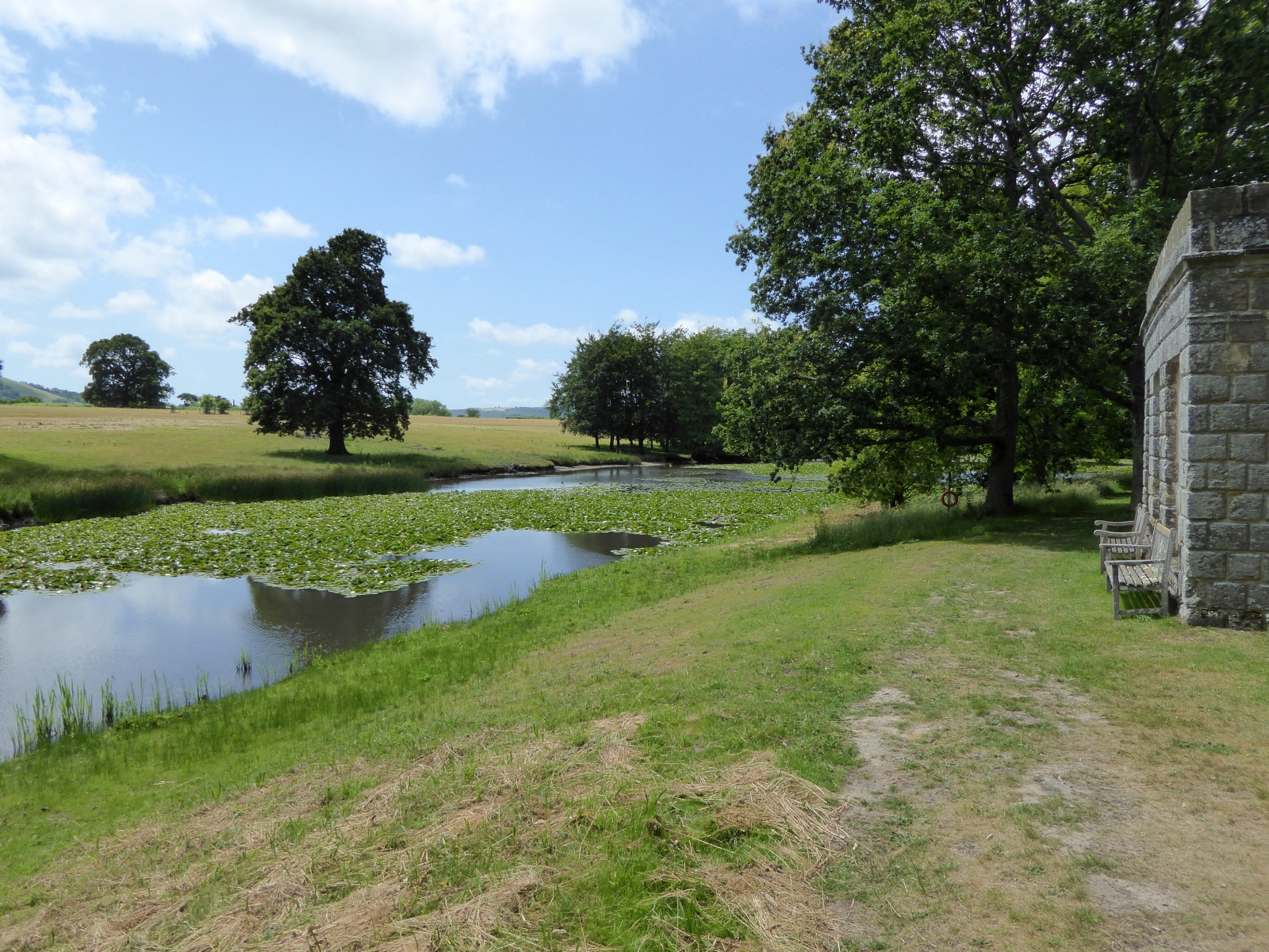
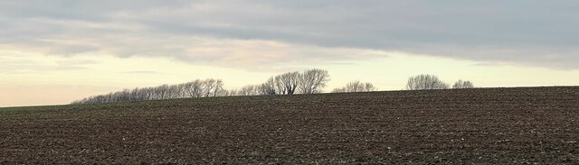
Parham Park SSSI
Parham Park SSSI is a 263.3-hectare (651-acre) biological Site of Special Scientific Interest in the grounds of Parham Park, west of Storrington in West...
List of local nature reserves in West Sussex
Local nature reserves (LNRs) are designated by local authorities under the National Parks and Access to the Countryside Act 1949. The local authority must...

West Sussex
West Sussex is a ceremonial county in South East England. It is bordered by Surrey to the north, East Sussex to the east, the English Channel to the south...

Storrington F.C.
Storrington Football Club is a football club based in Storrington, near Horsham, West Sussex, England. Storrington FCwere 1st formed in 1882, where they...

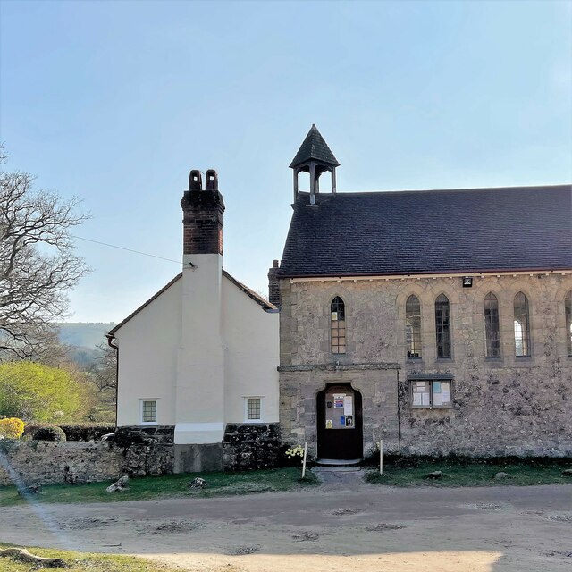
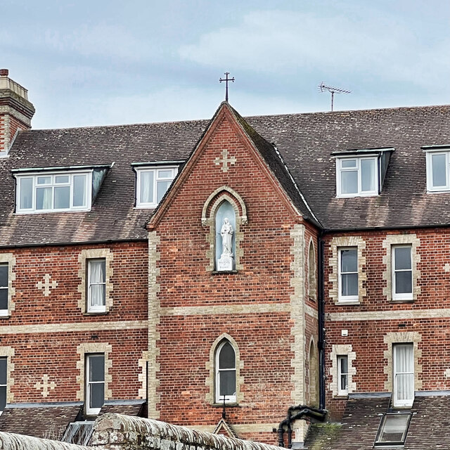
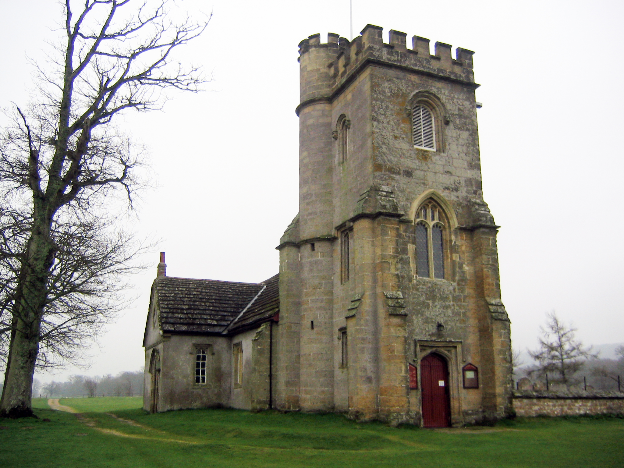
Our Lady of England Priory
Our Lady of England Priory in Storrington, West Sussex, England is the former home of Roman Catholic priests belonging to a Community of Canons Regular...
Nearby Amenities
Located within 500m of 50.919127,-0.48217764Have you been to Peckham Grove?
Leave your review of Peckham Grove below (or comments, questions and feedback).