Parham House
Heritage Site in Sussex Horsham
England
Parham House
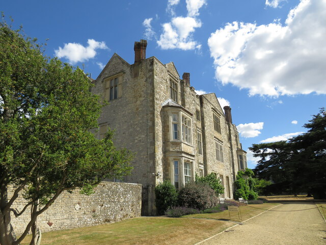
Parham House is a magnificent Elizabethan country house located in the heart of Sussex, England. It is a renowned heritage site cherished for its architectural beauty and historical significance. Built in the mid-16th century, Parham House has remained in the care of the same family for over four centuries.
The house is set within stunning gardens and surrounded by a vast estate, making it a popular destination for tourists and history enthusiasts alike. Its design combines elements of Tudor and Jacobean architecture, with its distinctive mullioned windows, ornate chimneys, and high gables, creating a striking visual appeal.
Inside, Parham House offers a captivating glimpse into the past, with its well-preserved interiors showcasing the lifestyle and tastes of its former inhabitants. Visitors can explore the Great Hall, adorned with intricate wood paneling and a stunning plasterwork ceiling, or wander through the numerous chambers, each filled with antique furniture, tapestries, and art collections.
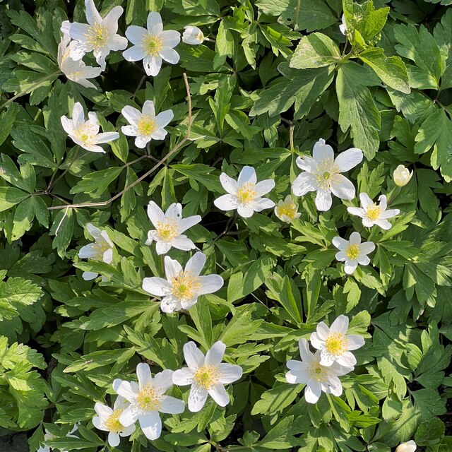
The estate also features beautifully landscaped gardens, including a four-acre walled garden famous for its vibrant flower borders and carefully cultivated vegetable patches. The gardens provide a tranquil retreat, with a series of peaceful walks and hidden corners to discover.
Parham House is not only a testament to architectural brilliance but also a place of historical significance. It has witnessed numerous events throughout the centuries, including visits from renowned figures such as Queen Elizabeth I and King Charles II.
Today, Parham House stands as a cherished heritage site, offering visitors a unique opportunity to immerse themselves in England's rich history and experience the grandeur of an Elizabethan country house.
If you have any feedback on the listing, please let us know in the comments section below.
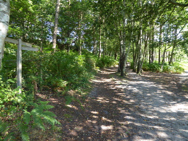
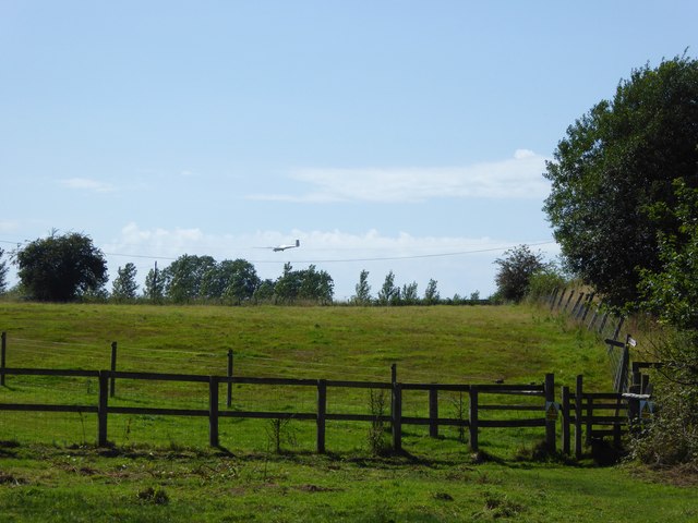
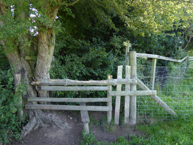
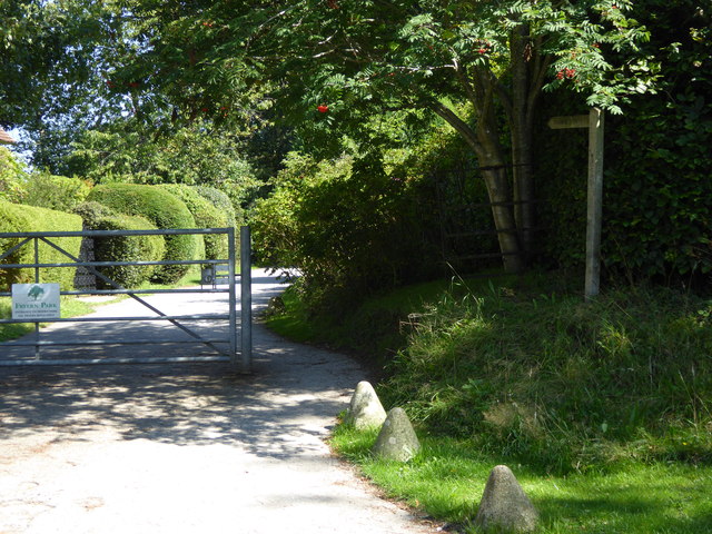
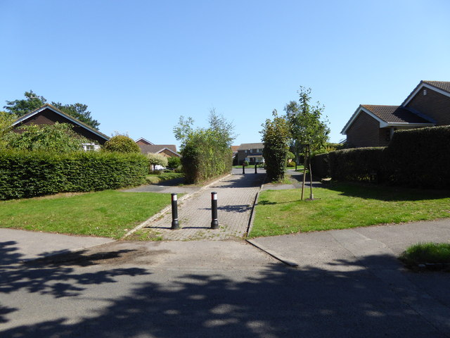
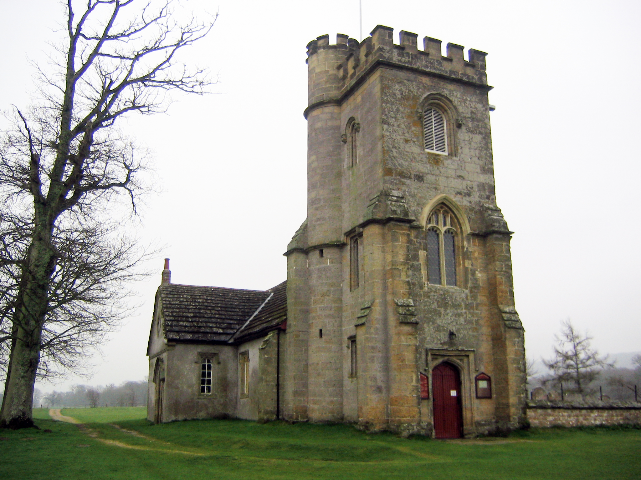
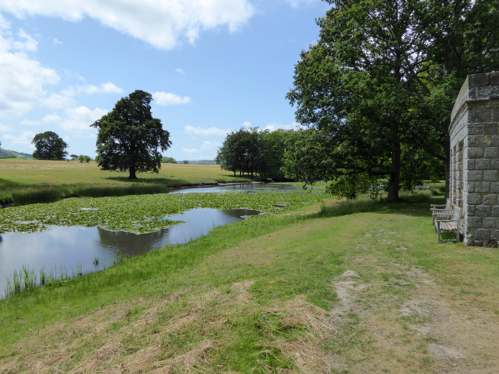
Parham House Images
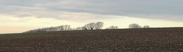
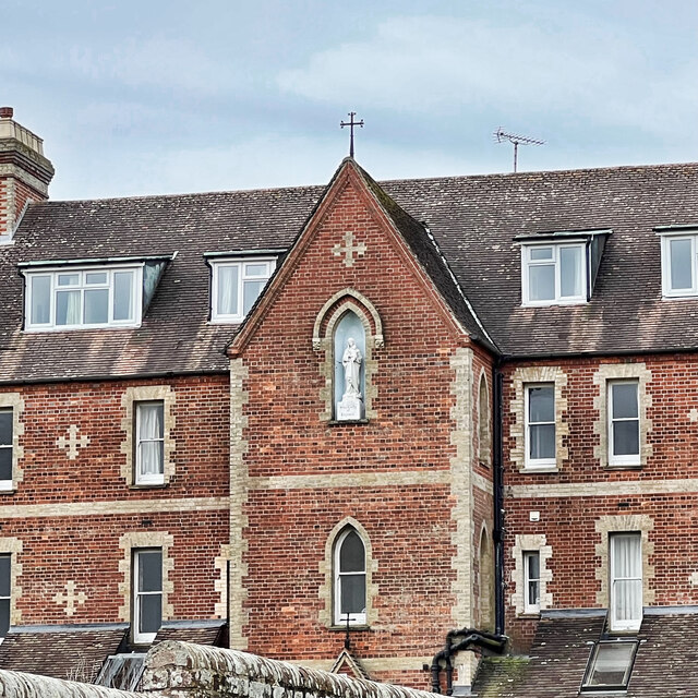
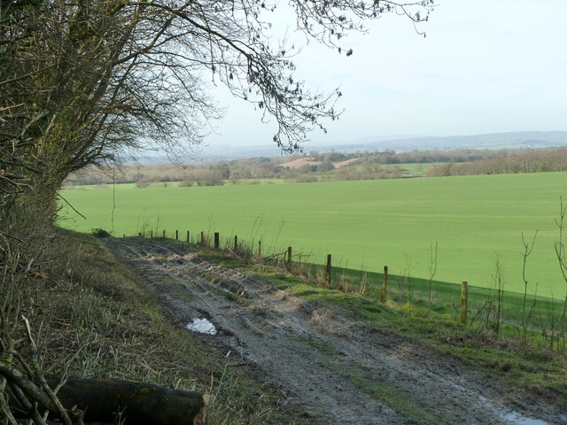
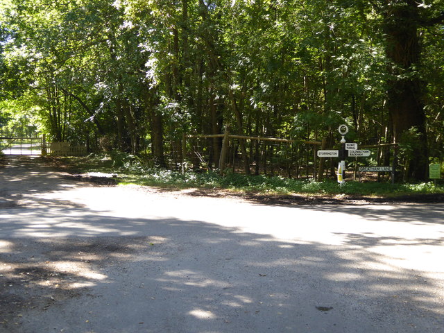
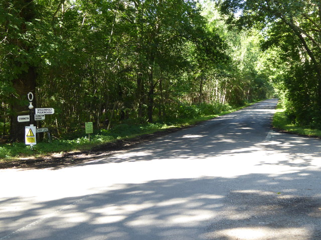
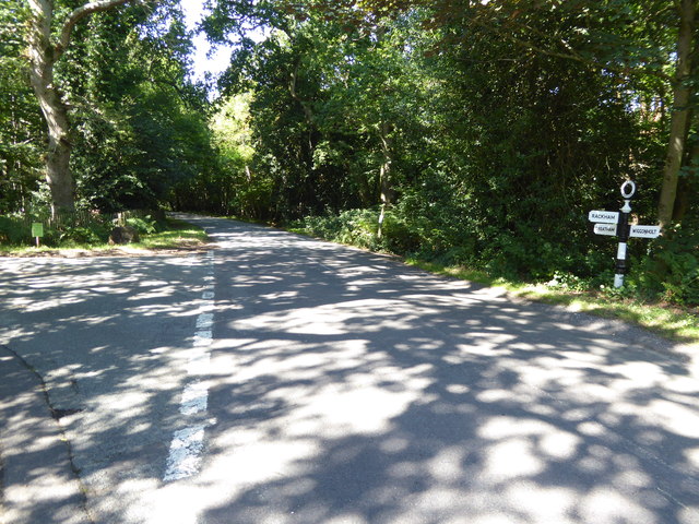
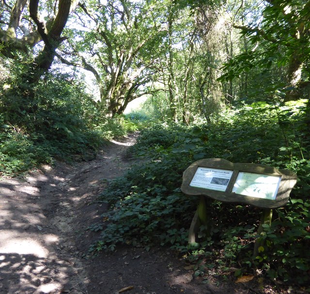
Images are sourced within 2km of 50.92/-0.485 or Grid Reference TQ0614. Thanks to Geograph Open Source API. All images are credited.
Parham House is located at Grid Ref: TQ0614 (Lat: 50.92, Lng: -0.485)
Administrative County: West Sussex
District: Horsham
Police Authority: Sussex
What 3 Words
///equal.purifier.tripling. Near Storrington, West Sussex
Nearby Locations
Related Wikis
Parham, West Sussex
Parham is a civil parish in the Horsham District of West Sussex, England. There was a village of Parham, around the parish church, but its few houses were...

Parham Park
Parham Park is an Elizabethan house and estate in the civil parish of Parham, west of the village of Cootham, and between Storrington and Pulborough, West...
Parham Park SSSI
Parham Park SSSI is a 263.3-hectare (651-acre) biological Site of Special Scientific Interest in the grounds of Parham Park, west of Storrington in West...
Cootham
Cootham ( KOHT-əm, KOOT-) is a hamlet in the Horsham District of West Sussex, England. It lies on the A283 road 0.9 miles (1.4 km) west of Storrington...
List of local nature reserves in West Sussex
Local nature reserves (LNRs) are designated by local authorities under the National Parks and Access to the Countryside Act 1949. The local authority must...

West Sussex
West Sussex is a ceremonial county in South East England. It is bordered by Surrey to the north, East Sussex to the east, the English Channel to the south...

Storrington F.C.
Storrington Football Club is a football club based in Storrington, near Horsham, West Sussex, England. Storrington FCwere 1st formed in 1882, where they...

Our Lady of England Priory
Our Lady of England Priory in Storrington, West Sussex, England is the former home of Roman Catholic priests belonging to a Community of Canons Regular...
Nearby Amenities
Located within 500m of 50.92,-0.485Have you been to Parham House?
Leave your review of Parham House below (or comments, questions and feedback).