Strawberry Grove

Wood, Forest in Sussex Horsham

England

Strawberry Grove

Wood anemones by Rackham Road
Wood anemones by Rackham Road Credit: Ian Cunliffe

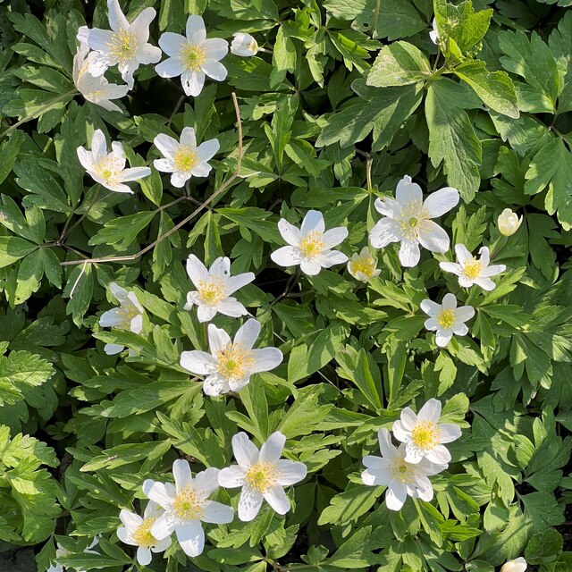
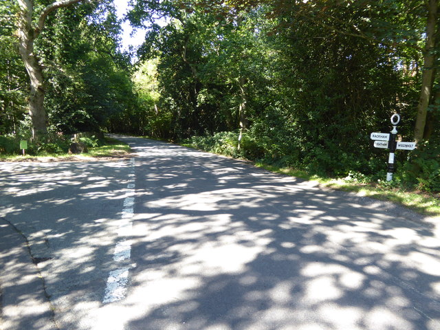
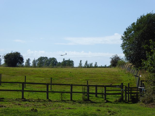
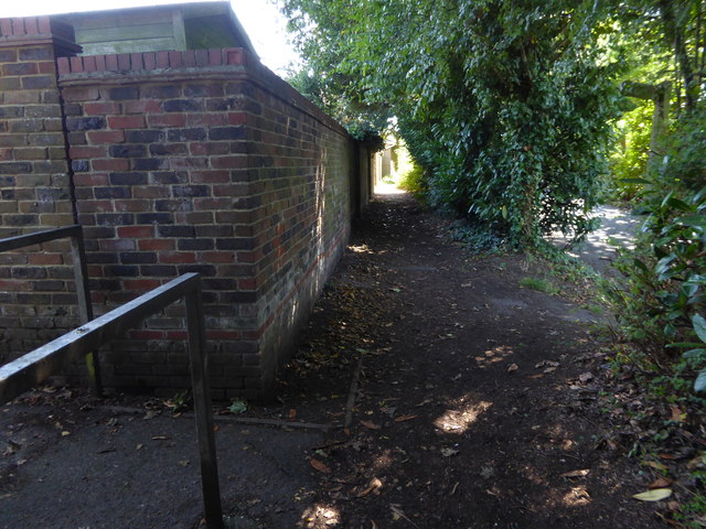
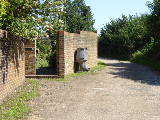
Strawberry Grove is a picturesque woodland located in Sussex, England. Nestled amidst the rolling hills and lush greenery, this idyllic forest is a haven for nature enthusiasts and outdoor lovers. The grove is renowned for its abundant strawberry bushes, which blanket the forest floor during the summer months, lending the area its charming name.

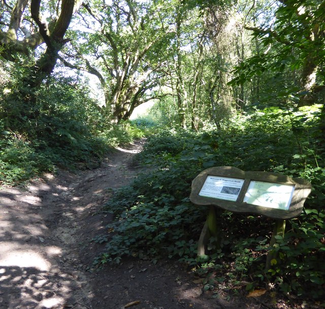
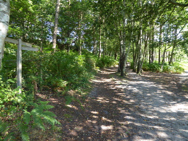
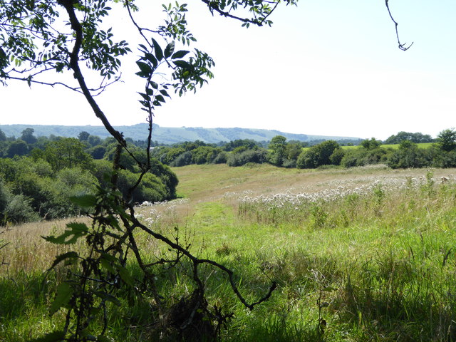
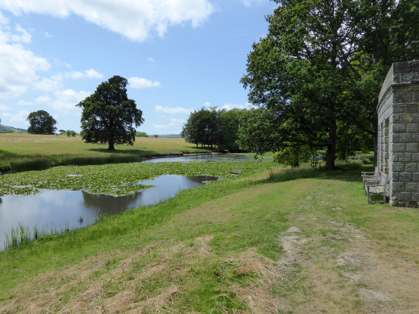
Covering an expansive area of approximately 100 acres, Strawberry Grove boasts a rich biodiversity and is home to a diverse range of plant and animal species. The forest is predominantly composed of dense tree canopies, including oak, beech, and chestnut, which provide a cool and shaded environment, perfect for leisurely walks and picnics on warm summer days.

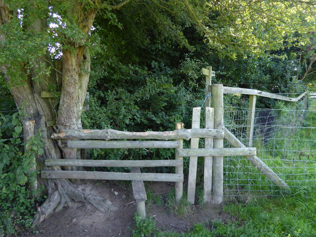
Walking through Strawberry Grove, visitors are treated to a sensory feast. The air is filled with the sweet scent of wildflowers, and the gentle rustling of leaves creates a soothing soundtrack. The forest is crisscrossed with well-maintained trails, inviting hikers to explore the area's natural wonders. Along these trails, visitors may encounter an array of wildlife, including squirrels, rabbits, and a variety of bird species.

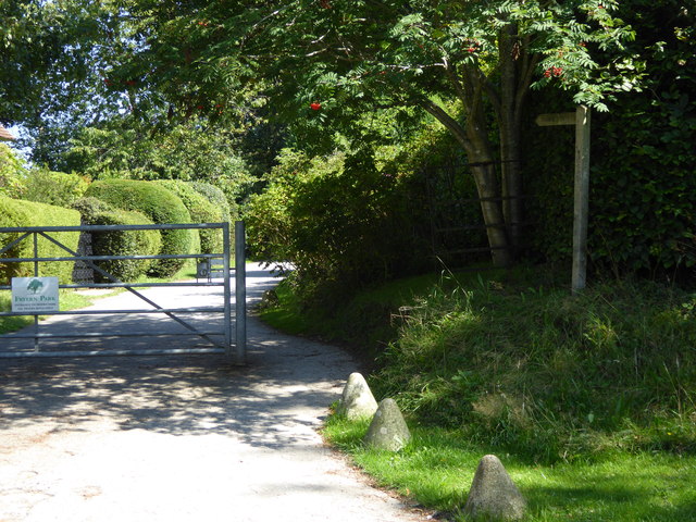
For those seeking a more immersive experience, Strawberry Grove offers numerous camping spots and designated areas for barbecues and outdoor gatherings. Families can enjoy a day of outdoor activities, such as cycling, horseback riding, or even orienteering.

Strawberry Grove truly embodies the natural beauty and tranquility that Sussex is known for, making it a must-visit destination for anyone seeking a peaceful escape in the heart of nature.

If you have any feedback on the listing, please let us know in the comments section below.

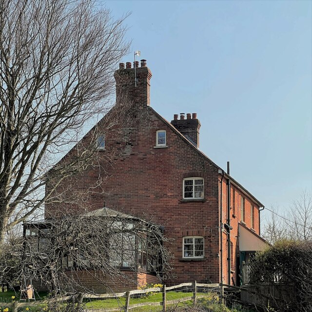
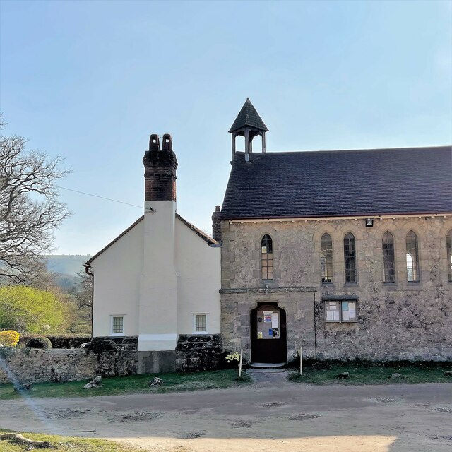
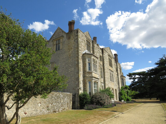
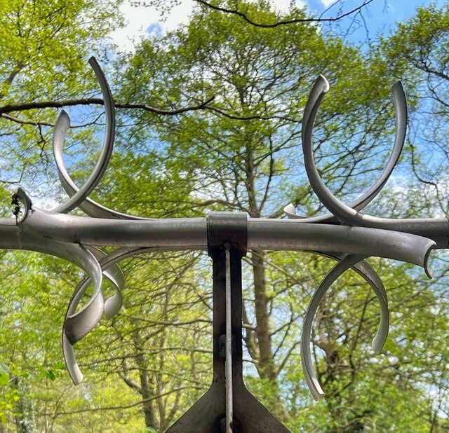
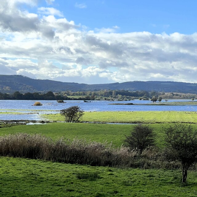
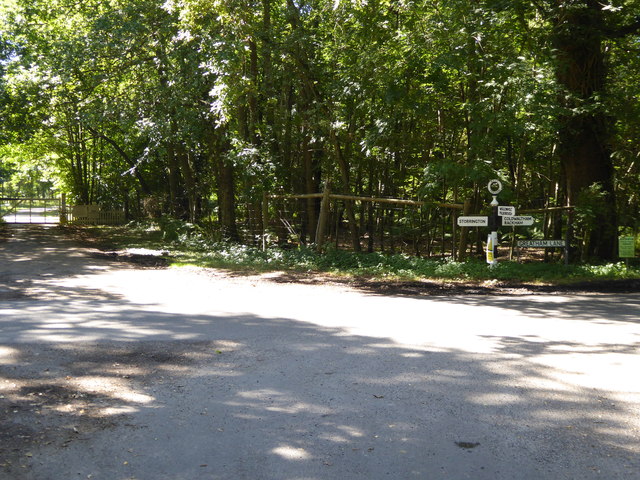
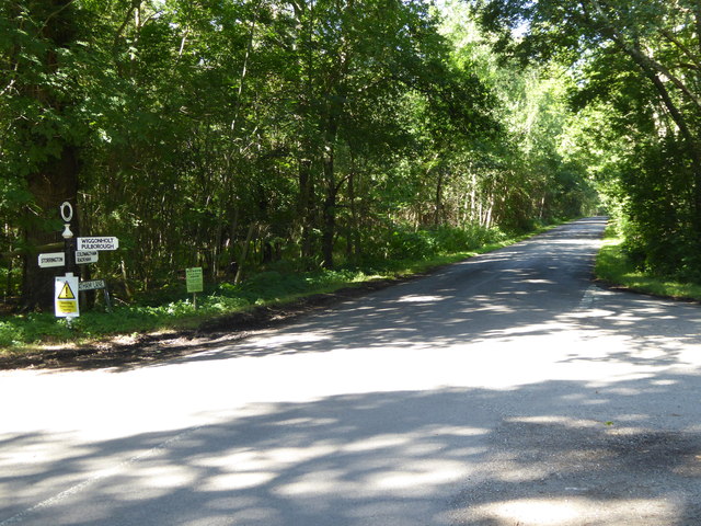
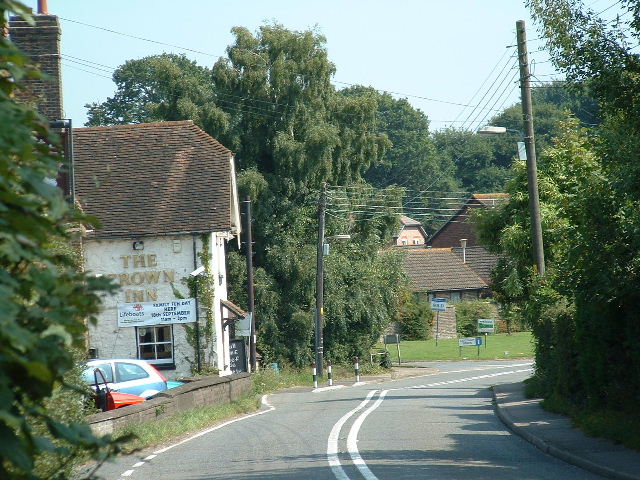
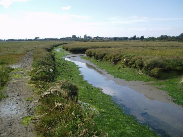
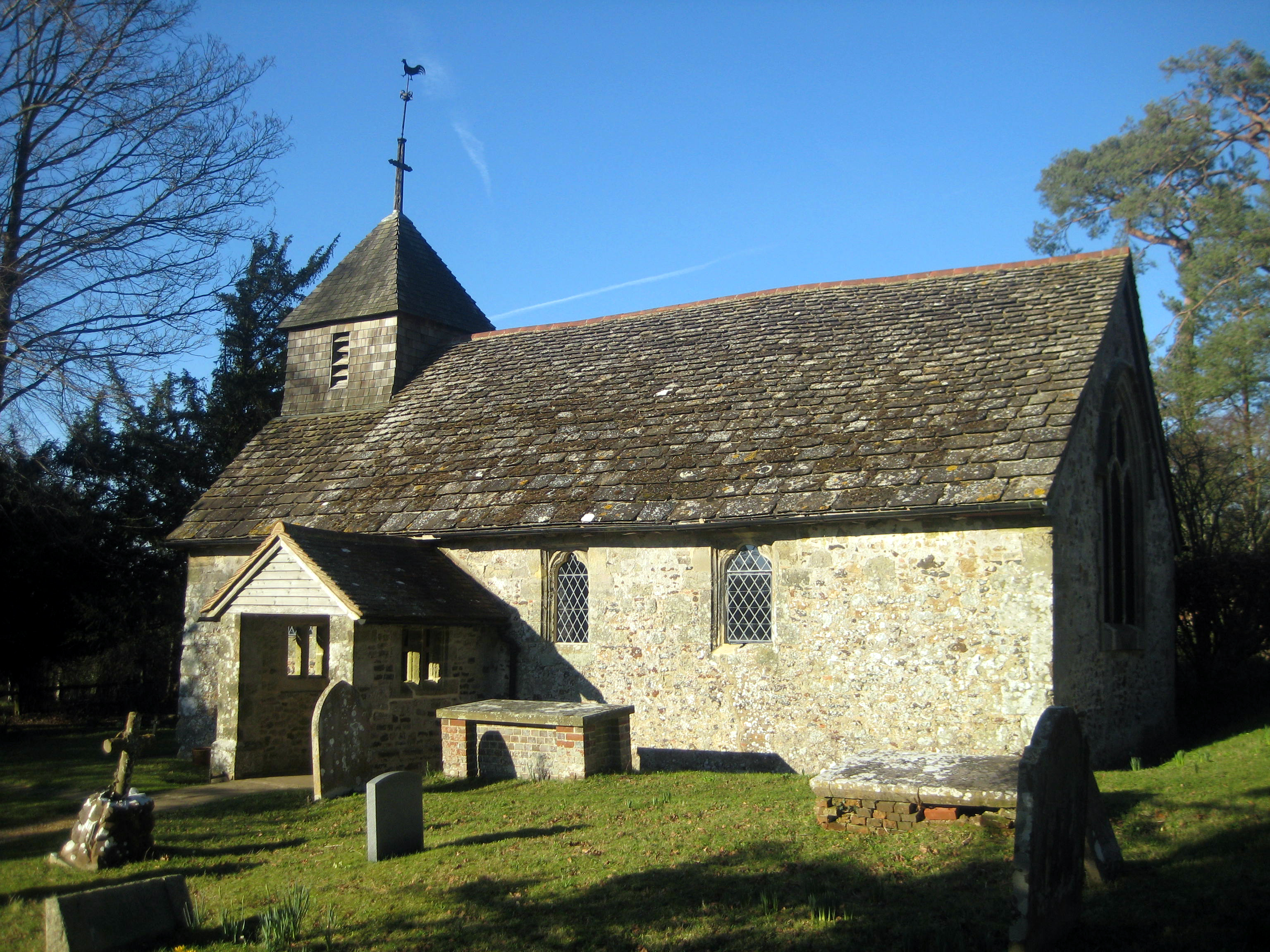
Strawberry Grove Images

Images are sourced within 2km of 50.922107/-0.48657672 or Grid Reference TQ0614. Thanks to Geograph Open Source API. All images are credited.

Wood anemones by Rackham Road
The Mill House The remains of an old watermill are nearby.
The Mill House
The remains of an old watermill are nearby.
School House and Old School The School House is on the left and the Old School is on the right.
School House and Old School
The School House is on the left and the Old School is on the right.
Parham House One of Simon Jenkins top country houses  - a fine house in an even finer setting twixt downs and vale
Parham House
One of Simon Jenkins top country houses - a fine house in an even finer setting twixt downs and vale
Spikes on a pipe over the stream These are presumably to stop children climbing over the pipe - except that children don't do that sort of thing these days!
Spikes on a pipe over the stream
These are presumably to stop children climbing over the pipe - except that children don't do that sort of thing these days!
View west over Amberley Brooks The Brooks are flooded after heavy rain. This is normal in the winter months.
View west over Amberley Brooks
The Brooks are flooded after heavy rain. This is normal in the winter months.
Signpost at junction on Greatham Lane
Looking westwards on Greatham Road See also <a title="https://www.geograph.org.uk/photo/1336134" href="https://www.geograph.org.uk/photo/1336134">Link</a> and <a href="https://www.geograph.org.uk/photo/4625837">TQ0615 : Signpost at junction on Greatham Lane</a>.
Looking westwards on Greatham Road
Junction of Greatham Lane and Rackham Street Rackham Street is the more minor road.
See also <a title="https://www.geograph.org.uk/photo/1328721" href="https://www.geograph.org.uk/photo/1328721">Link</a>.
Junction of Greatham Lane and Rackham Street
Rackham Street is the more minor road. See also Link.
Bridleway on Wiggonholt Common
Junction of footpath and bridleway on Wiggonholt Common
Marvellous view of the West Sussex Downs This was taken from my picnic spot. The Downs ridge is about two and a half miles away.
Marvellous view of the West Sussex Downs
This was taken from my picnic spot. The Downs ridge is about two and a half miles away.
Glider on approach to Parham Airfield
Stile on footpath making for Hurston Lane The stile has been improved since <a title="https://www.geograph.org.uk/photo/3573481" href="https://www.geograph.org.uk/photo/3573481">Link</a>.
Stile on footpath making for Hurston Lane
The stile has been improved since Link.
Footpath goes east off Hurston Lane
Access path to Faithfull Crescent The camera is in Hurston Lane.
Access path to Faithfull Crescent
The camera is in Hurston Lane.
Junction of twitten and pavement on Hurston Lane
Gate and strange carving on footpath The torso and head are missing!  There was rubbish inside.
Gate and strange carving on footpath
The torso and head are missing! There was rubbish inside.
Show me another place!

Strawberry Grove is located at Grid Ref: TQ0614 (Lat: 50.922107, Lng: -0.48657672)

Administrative County: West Sussex

District: Horsham

Police Authority: Sussex

What 3 Words

///materials.stocky.films. Near Storrington, West Sussex

Related Wikis

Parham Park

Parham Park is an Elizabethan house and estate in the civil parish of Parham, west of the village of Cootham, and between Storrington and Pulborough, West...

Parham Park SSSI

Parham Park SSSI is a 263.3-hectare (651-acre) biological Site of Special Scientific Interest in the grounds of Parham Park, west of Storrington in West...

Parham, West Sussex

Parham is a civil parish in the Horsham District of West Sussex, England. There was a village of Parham, around the parish church, but its few houses were...

Cootham

Cootham ( KOHT-əm, KOOT-) is a hamlet in the Horsham District of West Sussex, England. It lies on the A283 road 0.9 miles (1.4 km) west of Storrington...

List of local nature reserves in West Sussex

Local nature reserves (LNRs) are designated by local authorities under the National Parks and Access to the Countryside Act 1949. The local authority must...

West Sussex

West Sussex is a ceremonial county in South East England. It is bordered by Surrey to the north, East Sussex to the east, the English Channel to the south...

Storrington F.C.

Storrington Football Club is a football club based in Storrington, near Horsham, West Sussex, England. Storrington FCwere 1st formed in 1882, where they...

Wiggonholt

Wiggonholt is a village and former civil parish, now in the parish of Parham, in the Horsham district of West Sussex, England. It is 1.5 miles (2.4 km...

Nearby Amenities

Located within 500m of 50.922107,-0.48657672
STORRINGTONX4Y
Man Made: petroleum_well
Source: DECC
Lat/Long: 50.9235032/-0.4808231
STORRINGTON2
Disused: yes
Man Made: petroleum_well
Ref GB Decc: L99/03-2
Source: DECC
Lat/Long: 50.9234128/-0.4808063
STORRINGTONX3
Disused: yes
Man Made: petroleum_well
Ref GB Decc: L99/03-X3
Source: DECC
Lat/Long: 50.9236198/-0.4809131
STORRINGTONX3Z;STORRINGTONX4;STORRINGTONX4Z
Disused: yes
Man Made: petroleum_well
Ref GB Decc: L99/03-X3Z;L99/03-X4;L99/03-X4Z
Source: DECC
Lat/Long: 50.9235532/-0.4808665
STORRINGTONX5
Disused: yes
Man Made: petroleum_well
Ref GB Decc: L99/03-X5
Source: DECC
Lat/Long: 50.9234569/-0.4808141
Pullborough Road
Naptan AtcoCode: 4400HR0747
Naptan Bearing: S
Naptan BusStopType: CUS
Naptan CommonName: Pullborough Road
Naptan Indicator: HAR
Naptan Landmark: Hail & Ride
Naptan NaptanCode: wsxdwdwm
Naptan Street: Pullborough Road
Naptan Verified: no
Source: naptan_import
Lat/Long: 50.9252329/-0.4822011
Pullborough Road
Naptan AtcoCode: 4400HR0748
Naptan Bearing: N
Naptan BusStopType: CUS
Naptan CommonName: Pullborough Road
Naptan Indicator: HAR
Naptan Landmark: Hail & Ride
Naptan NaptanCode: wsxdwdwp
Naptan Street: Pullborough Road
Naptan Verified: no
Source: naptan_import
Lat/Long: 50.9252351/-0.4823718
Barrier: cattle_grid
Lat/Long: 50.9204124/-0.4916712
Parham Park
Place: locality
Wikidata: Q2052231
Wikipedia: en:Parham Park
Lat/Long: 50.9186127/-0.4898148
Board Type: history
Information: board
Tourism: information
Lat/Long: 50.9205268/-0.4875159
The data included in this document is from www.openstreetmap.org. The data is made available under ODbL.

Have you been to Strawberry Grove?

Leave your review of Strawberry Grove below (or comments, questions and feedback).