Winterfold Hill
Hill, Mountain in Surrey Waverley
England
Winterfold Hill
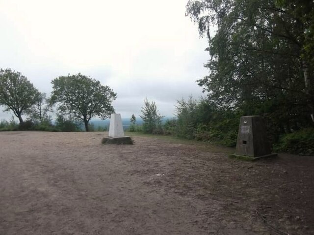
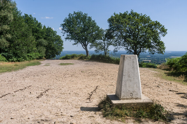
Winterfold Hill is a prominent geographical feature located in Surrey, England. It is situated within the Surrey Hills Area of Outstanding Natural Beauty, near the villages of Shere and Albury. Rising to an elevation of 251 meters (823 feet), Winterfold Hill is considered one of the highest points in the county.
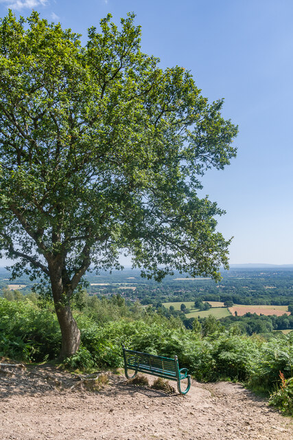
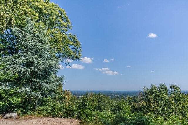
This hill offers breathtaking panoramic views of the surrounding countryside, making it a popular spot for outdoor enthusiasts and nature lovers. On clear days, visitors can admire the picturesque landscapes stretching across the Surrey Hills, with the South Downs and the North Downs visible in the distance.
Aside from its scenic beauty, Winterfold Hill is also known for its rich historical significance. The hill was once part of the Albury Estate, a vast area of land that belonged to the Howard family. It served as a hunting ground for the Howards during the medieval period and later became a timber plantation.
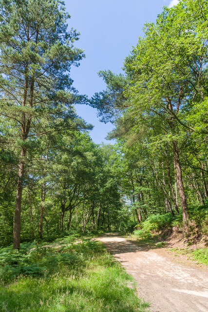
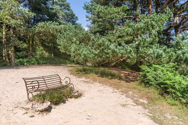
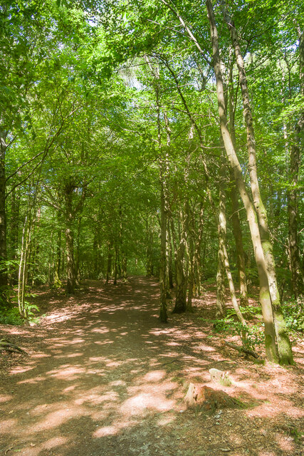
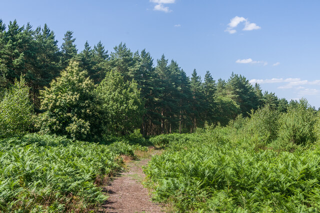
Today, Winterfold Hill is predominantly covered in mixed woodland, primarily consisting of oak, beech, and conifer trees. The hill's diverse flora and fauna make it a haven for wildlife, attracting various bird species and mammals.
Several footpaths and bridleways traverse Winterfold Hill, offering visitors the opportunity to explore its natural wonders. Whether it's hiking, cycling, or horse riding, this hill provides ample recreational opportunities for outdoor enthusiasts.
Overall, Winterfold Hill is a stunning natural landmark, combining its scenic beauty, historical significance, and abundant wildlife to create a captivating destination for both locals and tourists alike.
If you have any feedback on the listing, please let us know in the comments section below.
Winterfold Hill Images
Images are sourced within 2km of 51.171533/-0.47557984 or Grid Reference TQ0642. Thanks to Geograph Open Source API. All images are credited.


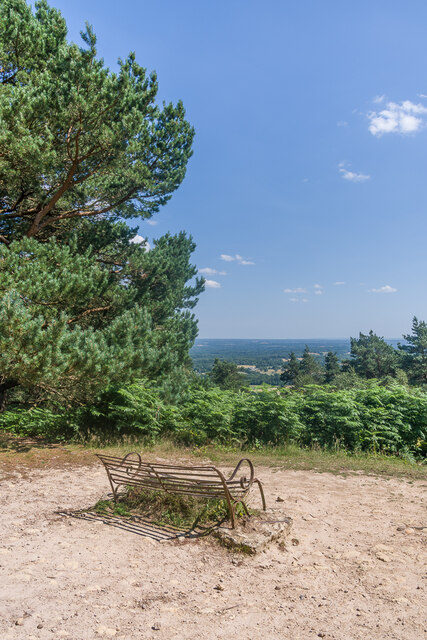
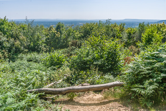
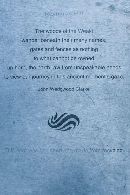
![Reynards Hill The summit clearing on Reynards Hill. The seat was installed in 2016. Created by the artist Russell Jakubowski, and entitled Contour, it is made from a lamination of recycled plastic and marine grade stainless steel - see <span class="nowrap"><a title="https://www.axisweb.org/p/russelljakubowski/workset/226591-contour-seat/" rel="nofollow ugc noopener" href="https://www.axisweb.org/p/russelljakubowski/workset/226591-contour-seat/">Link</a><img style="margin-left:2px;" alt="External link" title="External link - shift click to open in new window" src="https://s1.geograph.org.uk/img/external.png" width="10" height="10"/></span>. For a close up of the plaque on the seat see <a href="https://www.geograph.org.uk/photo/7645999">TQ0742 : Plaque on &quot;Contour&quot;, Reynards Hill</a>].](https://s0.geograph.org.uk/geophotos/07/64/59/7645988_026dfe06.jpg)
Winterfold Hill is located at Grid Ref: TQ0642 (Lat: 51.171533, Lng: -0.47557984)
Administrative County: Surrey
District: Waverley
Police Authority: Surrey
What 3 Words
///pretty.drizzly.discrepancy. Near Peaslake, Surrey
Nearby Locations
Related Wikis

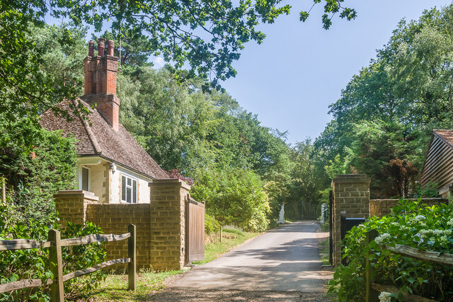
Winterfold Forest
Winterfold Forest is a wooded area of the broadest plateau of the western Greensand Ridge in Surrey, England. It blends seamlessly into the Hurt Wood...

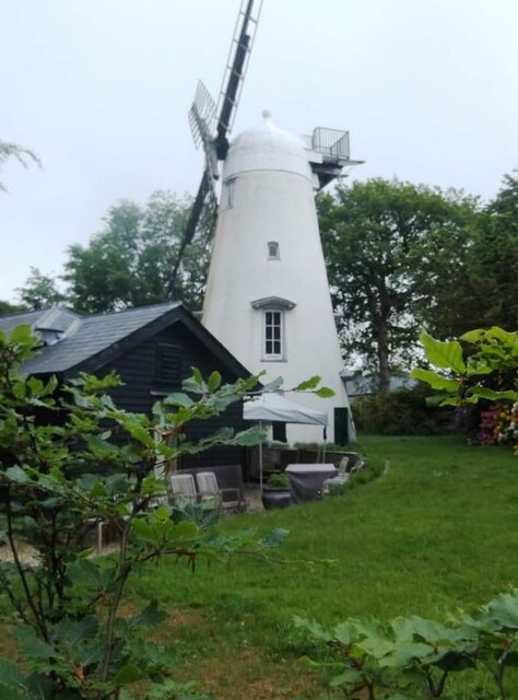
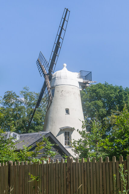
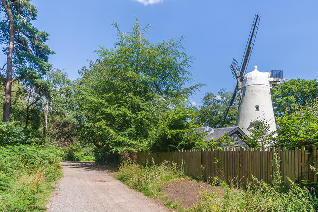
Hurt Wood Mill, Ewhurst
Hurt Wood Mill is a grade II* listed tower mill at Ewhurst, Surrey, England, which has been converted to residential use. == History == Hurt Wood Mill...

Marylands
Marylands is a Spanish-style country house on Pitch Hill, a rural part of Ewhurst, Surrey, England. It is a Grade II* listed building, designed during...
Duke of Kent School
Duke of Kent School is a 3–16 mixed private school in Ewhurst, Surrey, England. The school was originally founded in 1920 at Vanbrugh Castle to provide...

Sayer's Croft LNR
Sayer's Croft is a 10.9-hectare (27-acre) Local Nature Reserve west of Ewhurst in Surrey. It is owned by the Sayer's Croft Environmental Education Trust...
Sayers Croft
Sayers Croft is a large outdoor 'learning camp' located in the village of Ewhurst, Surrey. It is one of the few remaining 'Camp schools' built by the National...

Cucknell's Wood
Cucknell's Wood is a 11-hectare (27-acre) nature reserve south-east of Shamley Green in Surrey. It is managed by the Surrey Wildlife Trust.Birds in this...
Cranleigh School
Cranleigh School is a public school (English fee-charging boarding and day school) in the village of Cranleigh, Surrey. == History == It was opened on...
Nearby Amenities
Located within 500m of 51.171533,-0.47557984Have you been to Winterfold Hill?
Leave your review of Winterfold Hill below (or comments, questions and feedback).