Heighington Fen

Downs, Moorland in Lincolnshire North Kesteven

England

Heighington Fen

Branston Fen View south.
Branston Fen Credit: Julian P Guffogg

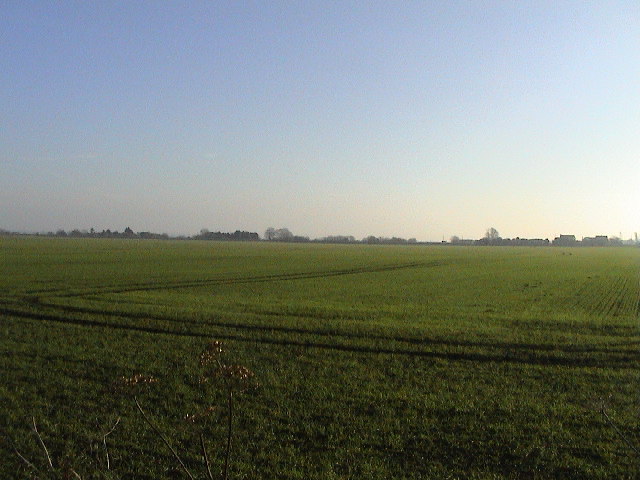
Heighington Fen is a picturesque area located in Lincolnshire, England. It is characterized by its diverse landscape, consisting of downs, moorland, and fenland. The fenland, in particular, is a notable feature of this region. Fens are low-lying areas that are typically marshy and consist of peat soil. They are known for their rich biodiversity and are home to numerous plant and animal species.

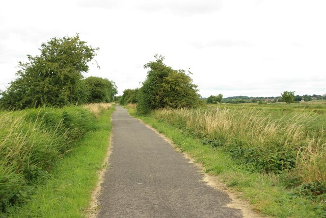
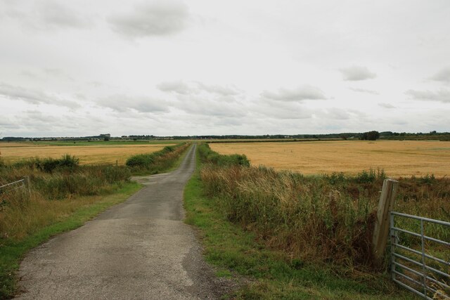
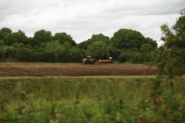
Heighington Fen is renowned for its stunning natural beauty, with vast expanses of open moorland and rolling hills. The downs are covered in lush green grasses and are often dotted with grazing livestock. These open spaces offer breathtaking views of the surrounding countryside and provide opportunities for outdoor activities such as hiking, birdwatching, and photography.

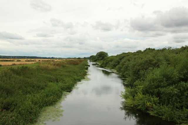
The fenland of Heighington Fen is a haven for wildlife enthusiasts. It is home to a wide range of plant species, including reeds, sedges, and various types of water-loving plants. This diverse ecosystem attracts a plethora of bird species, including ducks, herons, and wading birds. The fenland also supports a variety of small mammals, such as water voles and otters.

In addition to its natural beauty, Heighington Fen has a rich cultural history. The area has evidence of human habitation dating back to the Bronze Age, and remnants of ancient settlements and burial mounds can still be found today. These historical sites provide a glimpse into the region's past and offer visitors a chance to explore its fascinating heritage.

Overall, Heighington Fen is a unique and captivating destination, offering visitors a combination of stunning landscapes, diverse wildlife, and rich history.

If you have any feedback on the listing, please let us know in the comments section below.

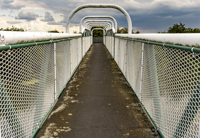
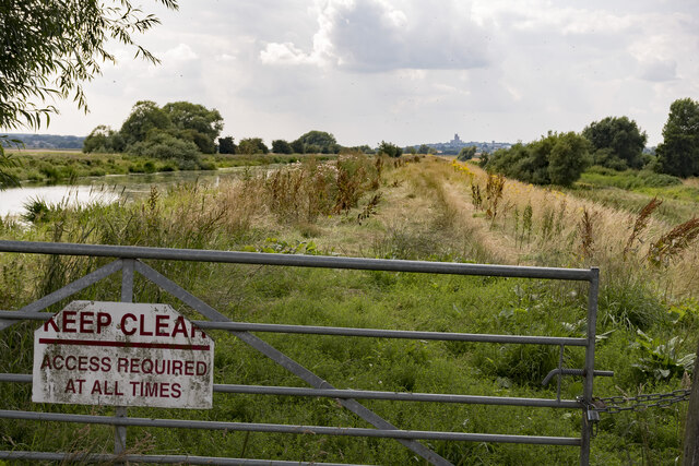
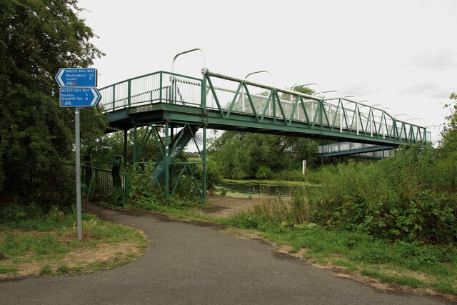
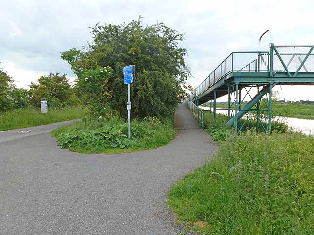
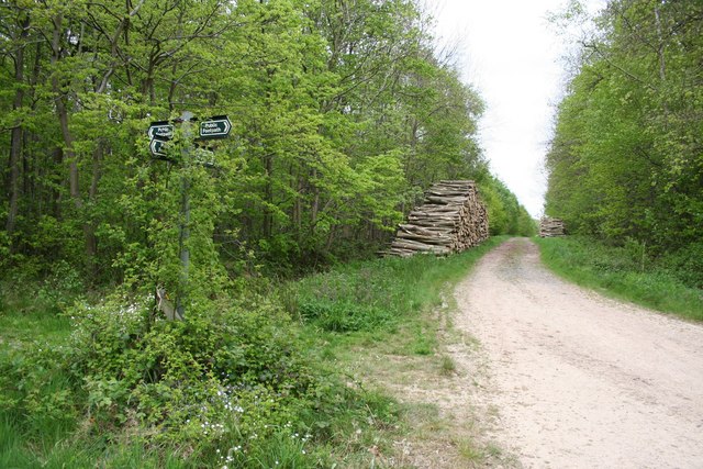
Heighington Fen Images

Images are sourced within 2km of 53.220195/-0.40443477 or Grid Reference TF0670. Thanks to Geograph Open Source API. All images are credited.

Branston Fen View south.
Branston Fen
View south.
Branston Fen The drain runs to the Branston Sewer Drain.
Branston Fen
The drain runs to the Branston Sewer Drain.
Five Mile Bridge The footbridge over the River Witham was made by Tubewrights Ltd of Newport Monmouthshire.
Five Mile Bridge
The footbridge over the River Witham was made by Tubewrights Ltd of Newport Monmouthshire.
River Witham bank with Lincoln in the distance Access to the riverbank is to allow for river and drain clearance. The north Delph on the right is at a lower level than the river.
River Witham bank with Lincoln in the distance
Access to the riverbank is to allow for river and drain clearance. The north Delph on the right is at a lower level than the river.
North Causeway, Branston Fen Flat farming land, about 3 metres above sea level. There are numerous drains.
North Causeway, Branston Fen
Flat farming land, about 3 metres above sea level. There are numerous drains.
Stubble field off Ferry Road near Fiskerton
The Water Rail Way The path between Lincoln and Bardney closely follows the River Witham, and is named after a former railway.
The Water Rail Way
The path between Lincoln and Bardney closely follows the River Witham, and is named after a former railway.
Bridge crossing the River Witham A footbridge crossing the River Witham at Fiskerton.
Bridge crossing the River Witham
A footbridge crossing the River Witham at Fiskerton.
South Delph A wide drainage channel running parallel to the River Witham.
South Delph
A wide drainage channel running parallel to the River Witham.
Five Mile Lane A narrow lane between arable fields.
Five Mile Lane
A narrow lane between arable fields.
Cultivated arable field An arable field being cultivated beside the River Witham following the harvest of a cereal crop.
Cultivated arable field
An arable field being cultivated beside the River Witham following the harvest of a cereal crop.
Sculpture on the Water Rail Way A large metal sculpture crossing the Water Rail Way.
Sculpture on the Water Rail Way
A large metal sculpture crossing the Water Rail Way.
South Delph The South Delph channel carries water drained from nearby land in a channel parallel to the River Witham.
South Delph
The South Delph channel carries water drained from nearby land in a channel parallel to the River Witham.
The Water Rail Way The metalled path and cycle route following the course of the River Witham to the east of Lincoln.
The Water Rail Way
The metalled path and cycle route following the course of the River Witham to the east of Lincoln.
A bend in the South Delph The drainage channel running parallel to the River Witham bends nearly 90 degrees to the north west of Short Ferry.
A bend in the South Delph
The drainage channel running parallel to the River Witham bends nearly 90 degrees to the north west of Short Ferry.
Road and Dyke Looking NW from opposite the pumping station. Both the B1190 and the drainage dyke run on the line of the Car Dyke roman canal at this point - the route follows the boundary between what would then have been marshy fen and slightly raised and firmer ground. See also <a href="https://www.geograph.org.uk/gridref/TL4964">TL4964</a>for a better preserved part of the same canal system far to the south near Waterbeach. Car Dyke link: <span class="nowrap"><a title="http://www.eng-h.gov.uk/archcom/projects/summarys/html96_7/1814anl.htm" rel="nofollow ugc noopener" href="http://www.eng-h.gov.uk/archcom/projects/summarys/html96_7/1814anl.htm">Link</a><img style="margin-left:2px;" alt="External link" title="External link - shift click to open in new window" src="https://s1.geograph.org.uk/img/external.png" width="10" height="10"/></span>
Road and Dyke
Looking NW from opposite the pumping station. Both the B1190 and the drainage dyke run on the line of the Car Dyke roman canal at this point - the route follows the boundary between what would then have been marshy fen and slightly raised and firmer ground. See also TL4964for a better preserved part of the same canal system far to the south near Waterbeach. Car Dyke link: LinkExternal link
Pumping Station Anglian Water pumping station on the raised B1190 near Branston Booths.
Pumping Station
Anglian Water pumping station on the raised B1190 near Branston Booths.
Flat Screen Looking E across virtually the entire grid square. Roofs of White House Farm, Branston Booths can be seen on the right horizon.
Flat Screen
Looking E across virtually the entire grid square. Roofs of White House Farm, Branston Booths can be seen on the right horizon.
Show me another place!

Heighington Fen is located at Grid Ref: TF0670 (Lat: 53.220195, Lng: -0.40443477)

Administrative County: Lincolnshire

District: North Kesteven

Police Authority: Lincolnshire

What 3 Words

///barrel.pirate.complain. Near Reepham, Lincolnshire

Nearby Locations

Heighington Fen

Related Wikis

Five Mile House railway station

Five Mile House was a railway station on the Lincolnshire Loop Line which served the village of Fiskerton in Lincolnshire between 1848 and 1964. Situated...

Branston Booths

Branston Booths is a small village in the North Kesteven district of Lincolnshire, England. The village is situated approximately 5 miles (8 km) east from...

Fiskerton, Lincolnshire

Fiskerton is a village and civil parish in the West Lindsey district of Lincolnshire, England. The population of the civil parish at the 2011 census was...

Potterhanworth Booths

Potterhanworth Booths is a hamlet in the North Kesteven district of Lincolnshire, England. It is situated 6 miles (10 km) south-east from Lincoln, and...

RAF Fiskerton

Royal Air Force Fiskerton or more simply RAF Fiskerton was a Royal Air Force station located north of the Lincolnshire village of Fiskerton, 5.0 miles...

Potterhanworth Wood

Potterhanworth Wood (grid reference TF070670) is a 32.0 hectare woodland, close to the village of Potterhanworth in North Kesteven, Lincolnshire, England...

Heighington, Lincolnshire

Heighington ( HAY-ing-tən) is a village and civil parish in the North Kesteven district of Lincolnshire, England. It is situated about 4 miles (6 km) south...
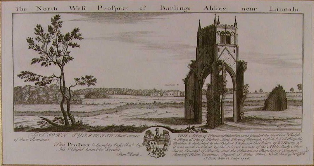
Barlings Abbey

Barlings Abbey was a one of nine Premonstratensian monasteries in the county of Lincolnshire, England. It was founded in 1154, as a daughter house of...

Nearby Amenities

Located within 500m of 53.220195,-0.40443477
Ventura Place
Place: isolated_dwelling
Source: Bing
Lat/Long: 53.2219192/-0.4064175
The data included in this document is from www.openstreetmap.org. The data is made available under ODbL.

Have you been to Heighington Fen?

Leave your review of Heighington Fen below (or comments, questions and feedback).