Flotmanby Wold
Downs, Moorland in Yorkshire Scarborough
England
Flotmanby Wold
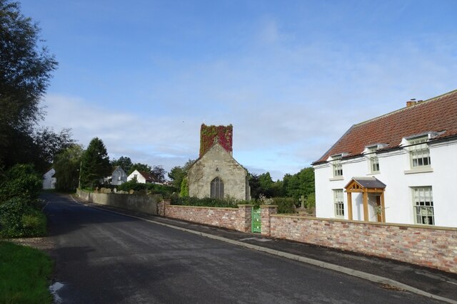
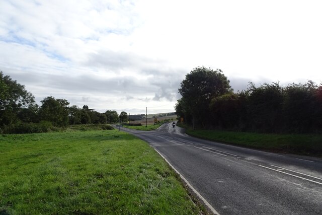
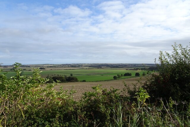
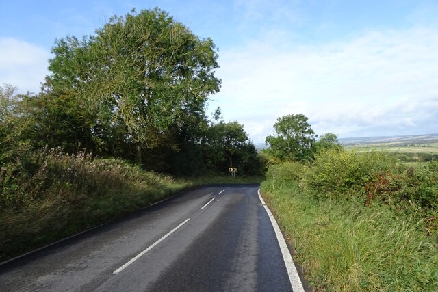
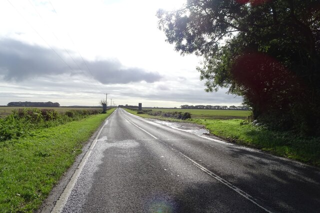
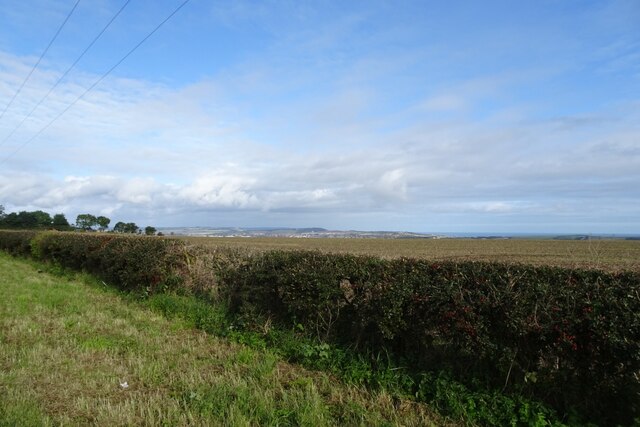
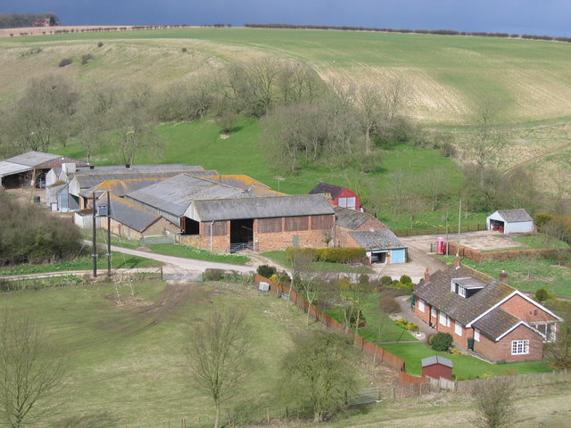
Flotmanby Wold is a picturesque area located in North Yorkshire, England. Situated between the towns of Scarborough and Filey, it is part of the larger Yorkshire Wolds region. Flotmanby Wold is characterized by its rolling hills, expansive moorland, and stunning views of the surrounding countryside.
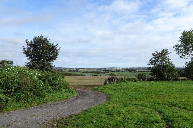
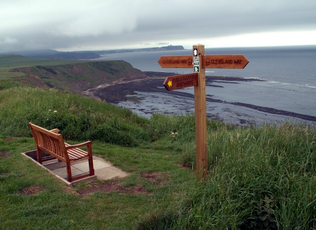
The area is renowned for its natural beauty and is a popular destination for outdoor enthusiasts and nature lovers. The Wolds, with their distinctive chalk hills, offer a wealth of opportunities for hiking, cycling, and horseback riding. There are numerous trails and paths that wind through the countryside, allowing visitors to explore the diverse landscapes and discover hidden gems along the way.
Flotmanby Wold is home to a rich variety of flora and fauna. The moorland is abundant with heather and gorse, which create a vibrant tapestry of color during the summer months. Wildlife enthusiasts can spot a range of bird species, including the iconic curlew and lapwing, as well as hares and deer that roam freely across the open fields.
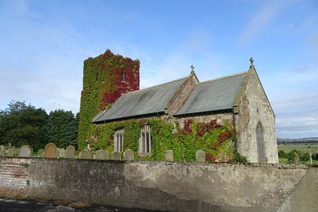
In addition to its natural beauty, Flotmanby Wold is also steeped in history. The area has a number of ancient archaeological sites, including burial mounds and Roman remains, which provide fascinating insights into the region's past.
Overall, Flotmanby Wold offers a tranquil and idyllic escape from the hustle and bustle of everyday life. Its combination of stunning landscapes, abundant wildlife, and rich history make it a truly unique and captivating destination for visitors to Yorkshire.
If you have any feedback on the listing, please let us know in the comments section below.
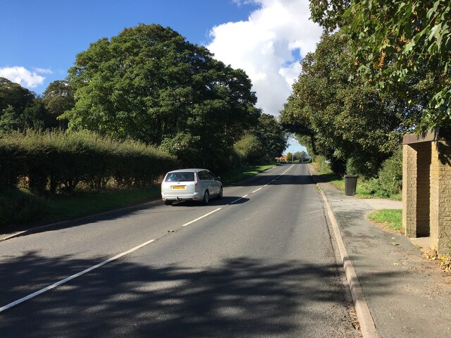
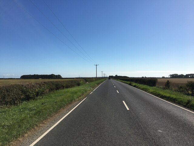
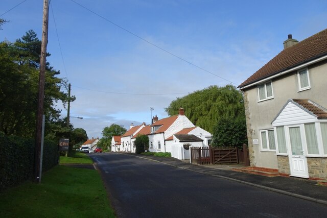
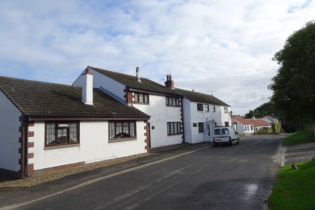
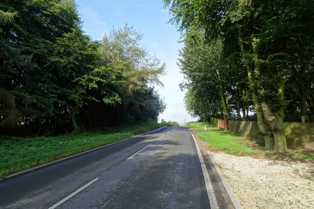
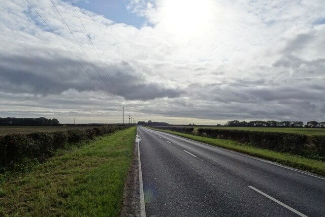
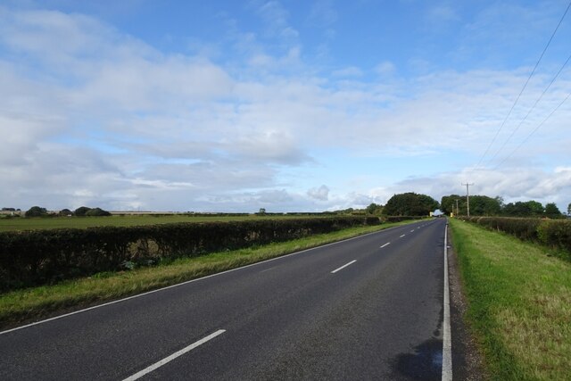
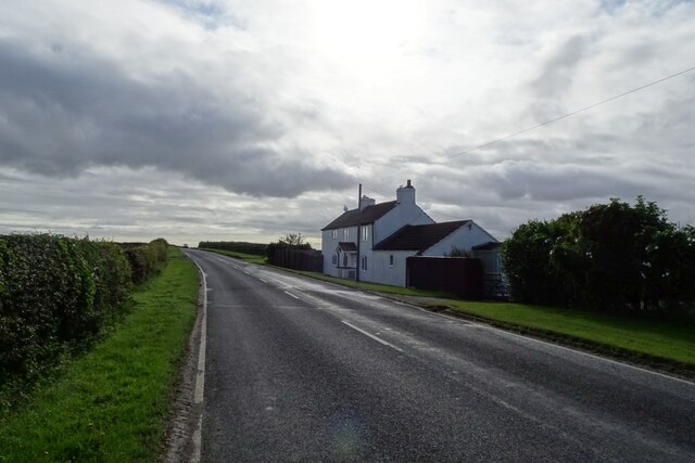
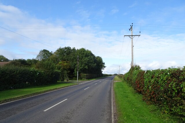
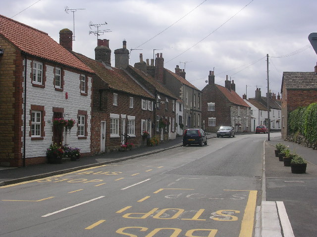
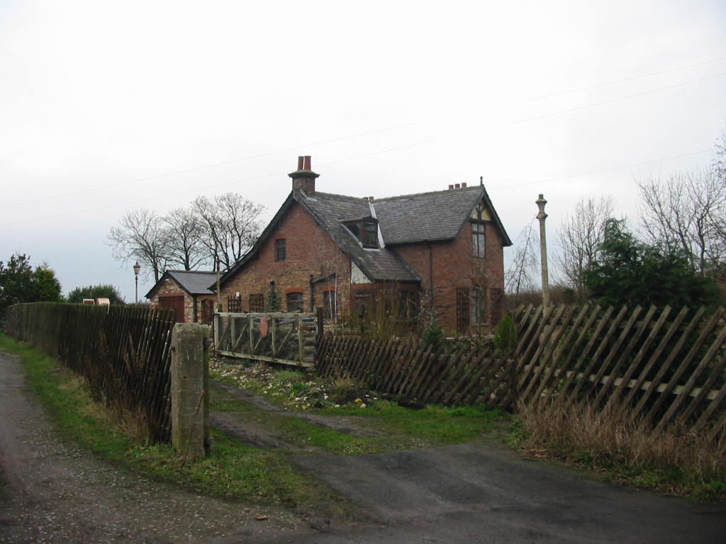
Flotmanby Wold Images
Images are sourced within 2km of 54.19214/-0.36582321 or Grid Reference TA0678. Thanks to Geograph Open Source API. All images are credited.
Flotmanby Wold is located at Grid Ref: TA0678 (Lat: 54.19214, Lng: -0.36582321)
Division: East Riding
Administrative County: North Yorkshire
District: Scarborough
Police Authority: North Yorkshire
What 3 Words
///verbs.indicates.cyber. Near Hunmanby, North Yorkshire
Nearby Locations
Related Wikis

Folkton
Folkton is a small village and civil parish at the foot of the Yorkshire Wolds and on the edge of the Vale of Pickering on an area known as Folkton Carr...

Flixton, North Yorkshire
Flixton is a village in North Yorkshire, England. Until 1974 the village lay in the historic county boundaries of the East Riding of Yorkshire and from...
Muston, North Yorkshire
Muston is a village and civil parish, in North Yorkshire, England. It was historically in the East Riding of Yorkshire. The village is situated 1.5 miles...
Gristhorpe railway station
Gristhorpe railway station was a minor railway station on the Yorkshire Coast Line from Scarborough to Hull, serving the villages of Gristhorpe and Lebberston...

Hunmanby
Hunmanby is a large village and civil parish in North Yorkshire, England. It was part of the East Riding of Yorkshire until 1974. From 1974 to 2023 it...
Fordon, East Riding of Yorkshire
Fordon is a village and former civil parish, now in the parish of Wold Newton, in the East Riding of Yorkshire, England, near the border with North Yorkshire...

Hunmanby railway station
Hunmanby railway station serves the large village of Hunmanby in North Yorkshire, England. It is located on the Yorkshire Coast Line and is operated by...
Gristhorpe
Gristhorpe is a village and civil parish in the Scarborough district of North Yorkshire, England. According to the 2011 UK census, Gristhorpe parish had...
Nearby Amenities
Located within 500m of 54.19214,-0.36582321Have you been to Flotmanby Wold?
Leave your review of Flotmanby Wold below (or comments, questions and feedback).